|
| Ruins Homepage | ||||
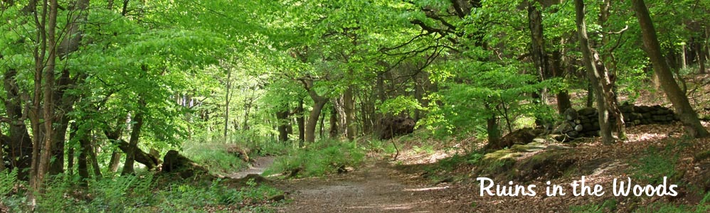
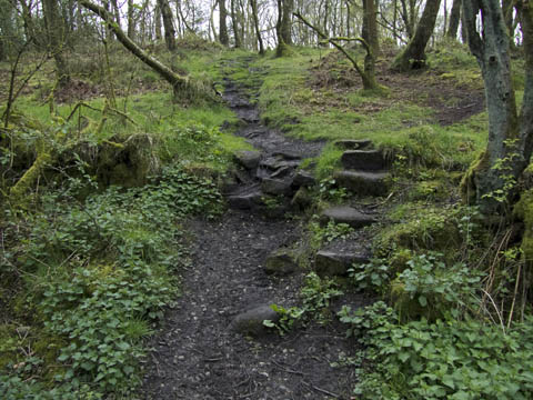
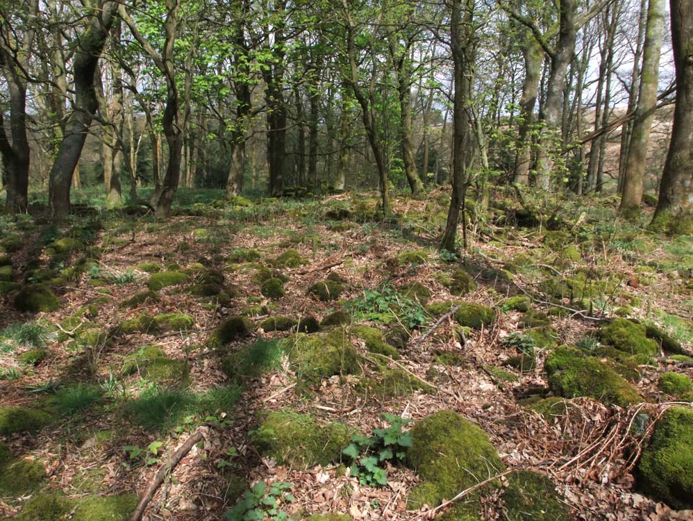
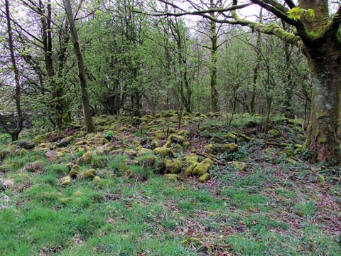
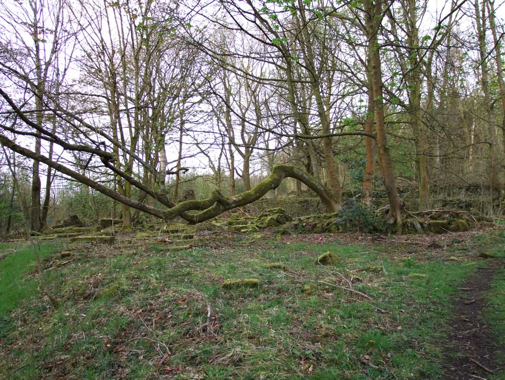
| In 1900 12 farms, their fields and stone walls occupied the steep slopes behind Brinscall, in, or on the edge of what we call today "The Pine Woods" or "Heather Lea woods" . There was also two mansions, Blackhurst and Heather Lea, the latter giving the woods one of its names of today. The ruins of all these can still be seen today. So, as you follow the walk in the book, this is what you may see. |  |
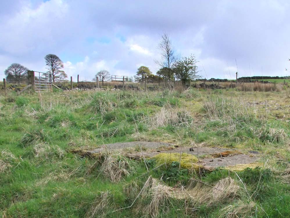
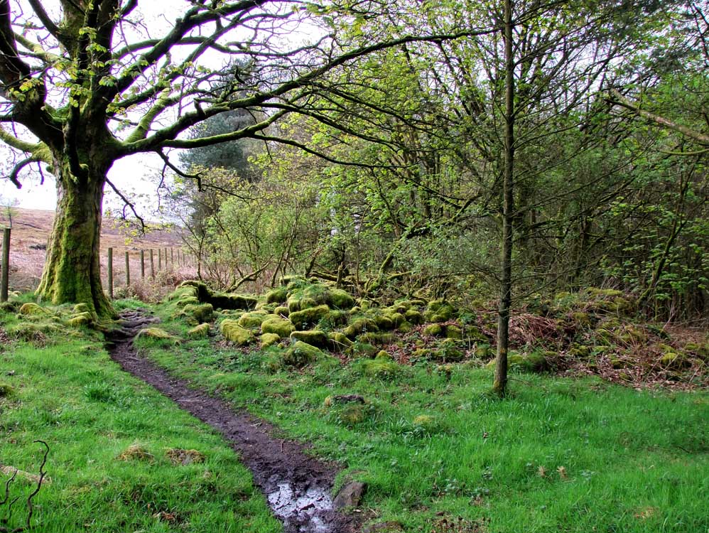
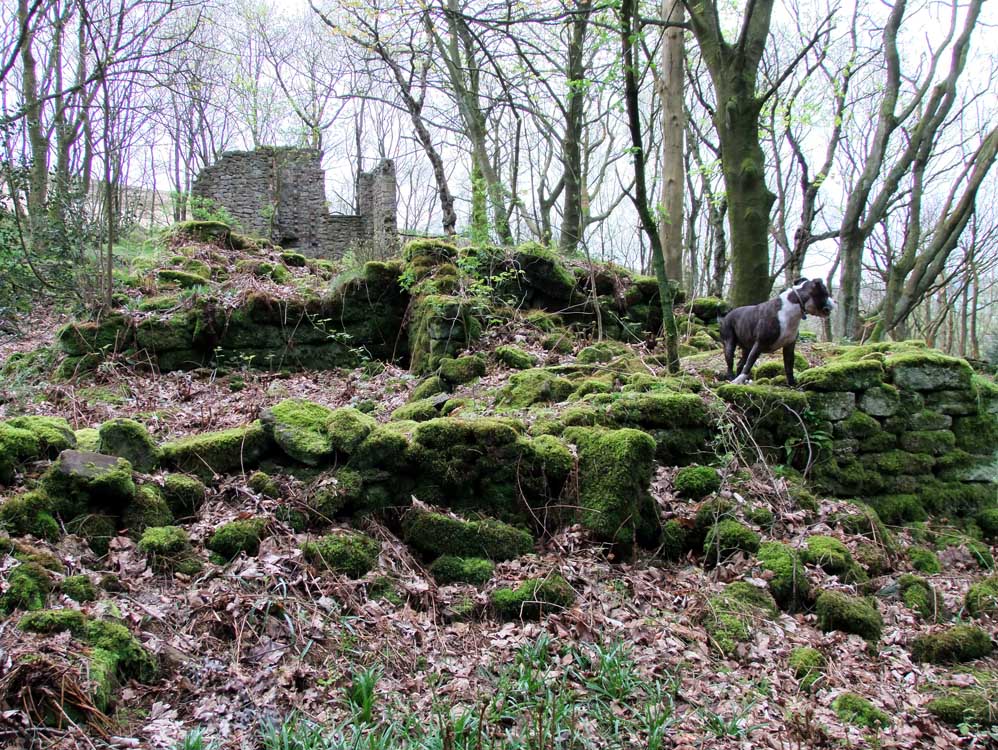
| Ripping Farm (SD629210) | |
| A small farm whose layout can quite easily be seen. Behind the farm to the NW is a green lane that leads up on to the moor. Today it seems a dark and dank place, however, in the 1890s it was pretty much treeless in the area and the farm would have sunlight for most of the day with its southwest facing frontage. |
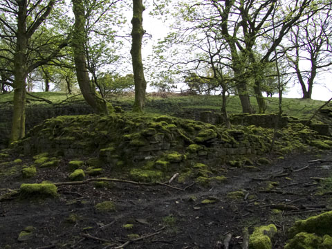
 |
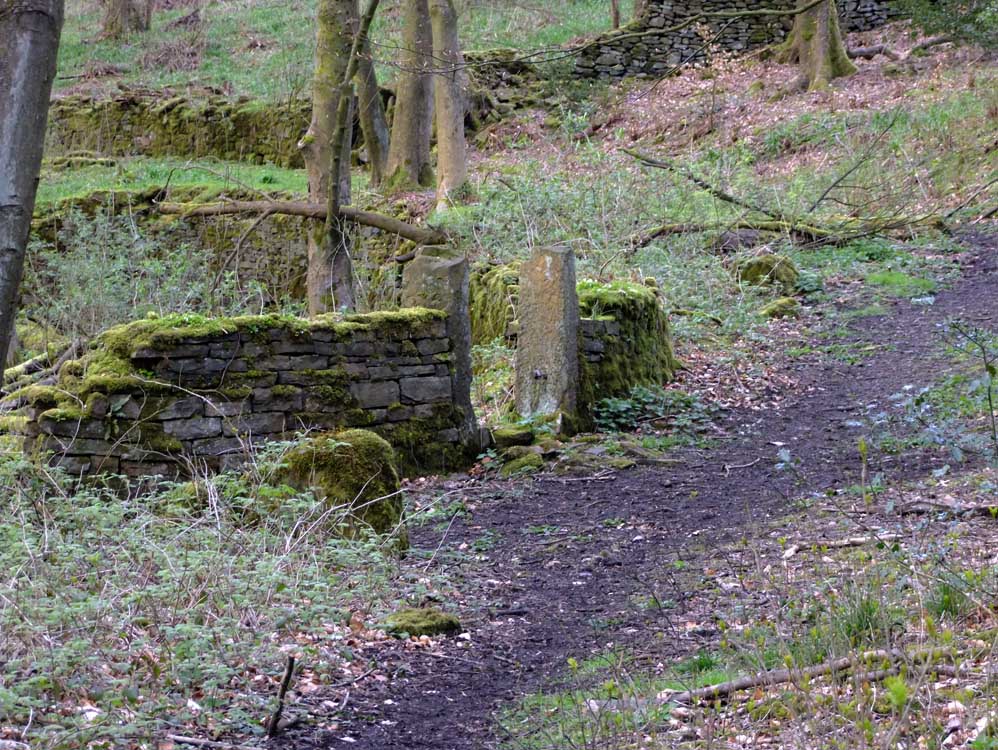
| The ruins of Ripping Farm. Close to Well Lane, which is just visible top right. |
 |
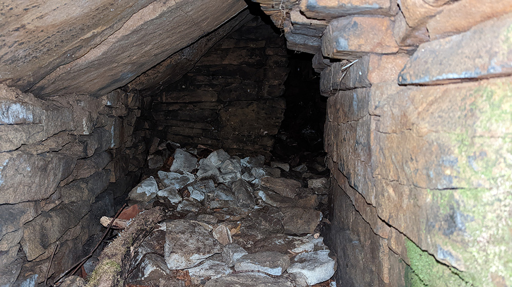
| This is the view of Ripping Farm after you have crossed the stile from Well Lane |
 |
| A doorway is clearly visible. The garden was at the other side, by Well Lane . Ripping was a small farm |
 |
 |
|
| Ripping from the stile on Well lane | The green lane leading out of the farmyard and up on to the moor |
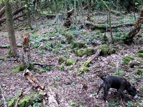
| Heaton's Farm (SD629208) |
| Heaton's is the first farm visited within the woods. Shortly after entering the woods from Well Lane, the old grass track on the left leads to the farm. trees block the track in places. The farm was slightly larger than Ripping Farm |
 |
| The gateposts of Heaton's. The mound beyond is the site of the farm. |
 |
||||
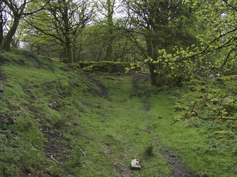
| These steps, less than 20 yards from the entrance to the woods from Well Lane, and the path beyond, lead to Heaton's and also to the next farm we visit, namely Hatch Place. This route would probably have been used frequently as a short cut by the residents at both farms. | ||||
 |
||
| Old gate posts at Heaton's. The holes in the post allowed wooden bars to be inserted to prevent entry/exit by livestock. Needless to say - the large tree would not have been there when the gateway was still in use. Later, as can be seen from the hinge on the far post, gates were fitted | ||
 |
 |
|
| If you look carefully, you will find the farm's water well.... | ....and also a horse trough. |
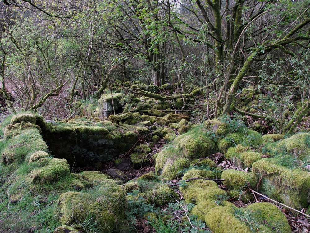
| Hatch Place (SD6297 2087) |
| There remains little of the buildings at Hatch Place, however, its site is easy to see and it's walled driveway to Well Lane is clear to see along with the gatepost on the lane. I imagine it would have been almost sylvan with Hatch Brook running at the bottom of its garden |
 |
| Approaching Hatch Place, a lovely location, with great views before the trees enveloped it . |
 |
| The site of Hatch Place |
 |
| Some of the ruins - probably an outbuilding. |
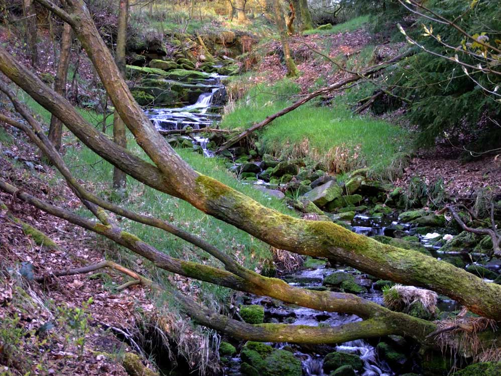 |
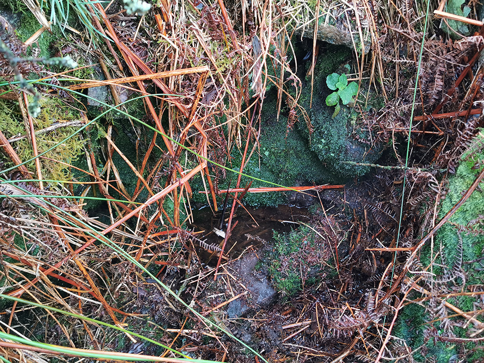
| The lovely Hatch Brook. Fifty yards from here it cascades down by the bridge on the main path |
| White Hall Farm (SD631207) |
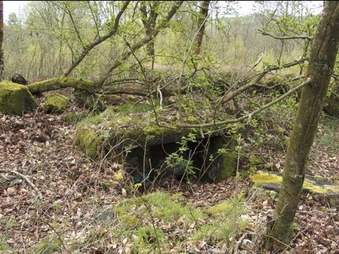
| Of all the farms on this walk it is White Hall that has least remains. It stood on Well Lane, on the right as it levels out at the top of the woods. There is a modern metal gate which marks the entry into a now flattened area used occasionally by vehicles of the timber trade. All that remains are three large slabs that either cover something, or they were part of floor of some small outbuilding or shed. |
 |
| The flattened site that was White Hall Farm |
 |
| The three stone slabs. The metal gate that marks the entrance can be seen (top left) and behind that the ruins of Ratten Clough |
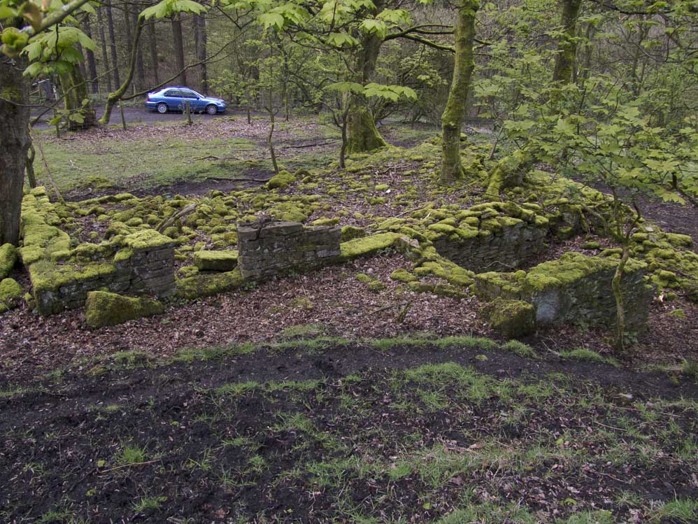
| White Hall Cottages (SD63042070) | ||
| Only a hundred yards from White Hall Farm, the cottages lie in the woods. Again it is now just a pile of stones, but the outline is clearly visible as is the garden area. Garden at these residences means vegetable garden. | ||
 |
 |
|
| White Hall Cottages - the remains. | The approach to the cottages through the remains of grass pasture | |
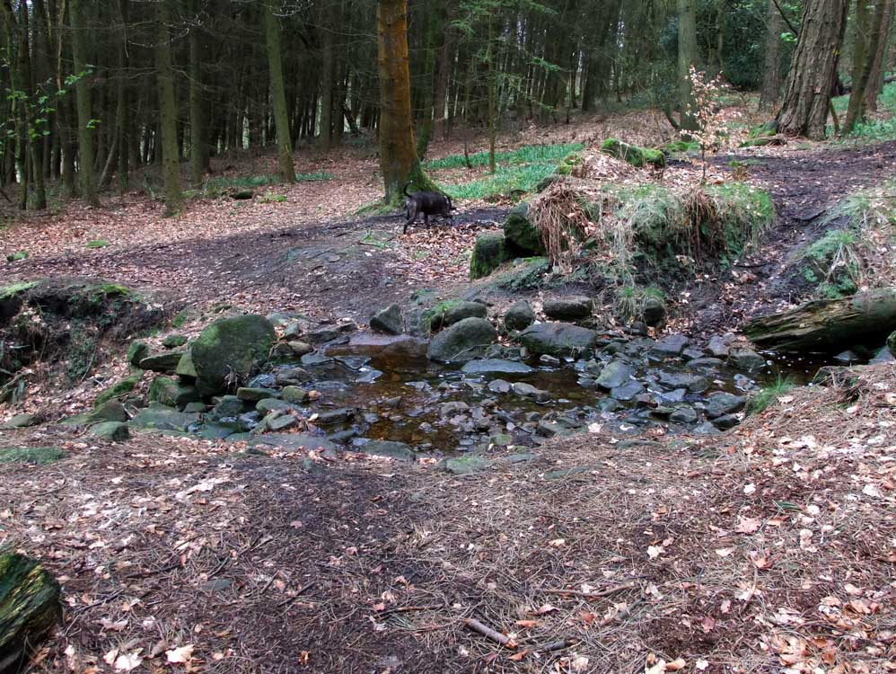
| Liptrot's (SD628204) |
| Liptrot's lies on the present day edge of the woods. It was a traditional longhouse but it had a porch which is clearly visible today. Across the narrow path is an outbuilding. It is always wet under foot here, probably remains of the farms original water supply. There is certainly more to examine here than at the previous two dwellings |
 |
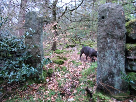
| On the path to Liptrot's you will encounter these ancient gateposts. No hinged gate ever hung on these. Note the slots on the right hand post. They were to slot in wooden poles, in effect creating a barred gate. |
 |
| Approaching the farm's ruins |
 |
| Clearly visible is the protruding porch. |
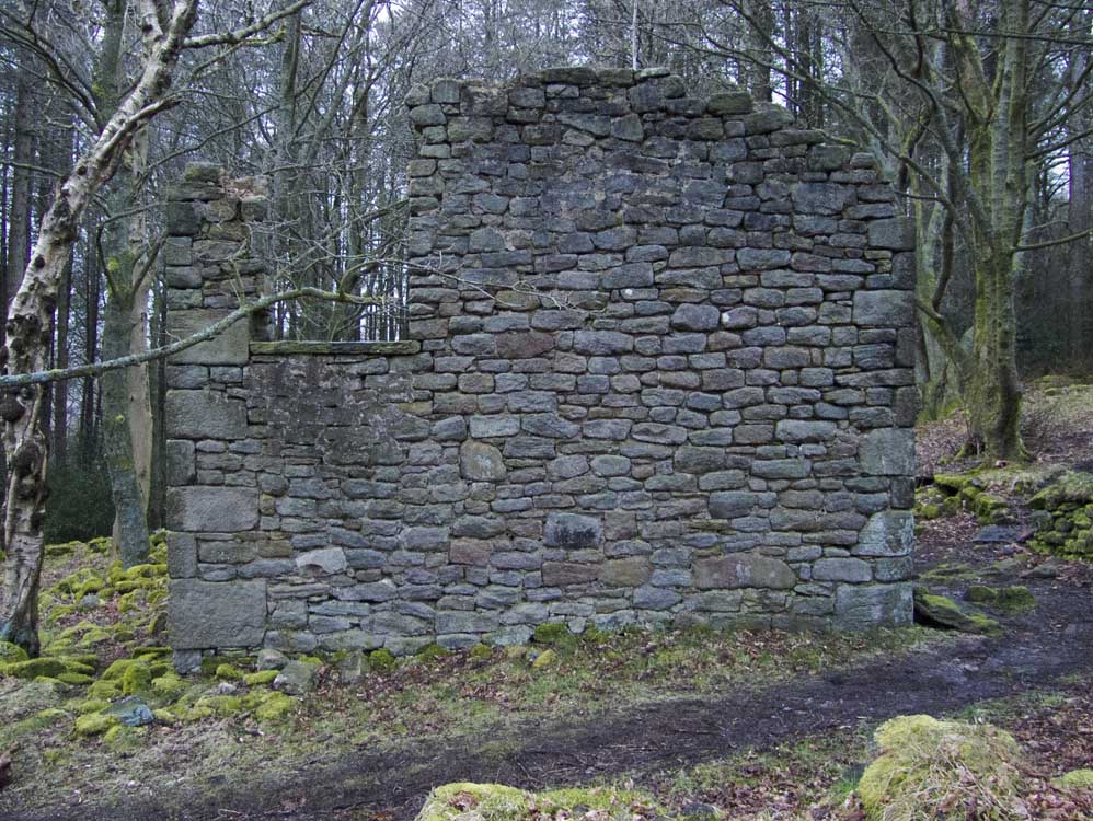
| Leigh Place (SD627204) |
| Now set deep in the woods, Leigh Place seems somewhat dark and gloomy, but a hundred years ago, well it would have been on an open hillside with views to Brinscall, the Lancashire plain and the Irish Sea. There are a few very old slotted posts and some remains of the house. The garden is still walled and clear to see. |
 |
| The site of Leigh Place |
 |
| An old gatepost, with the garden area beyond. |
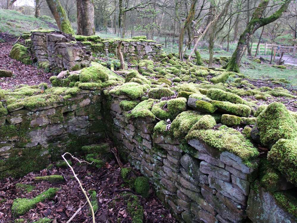
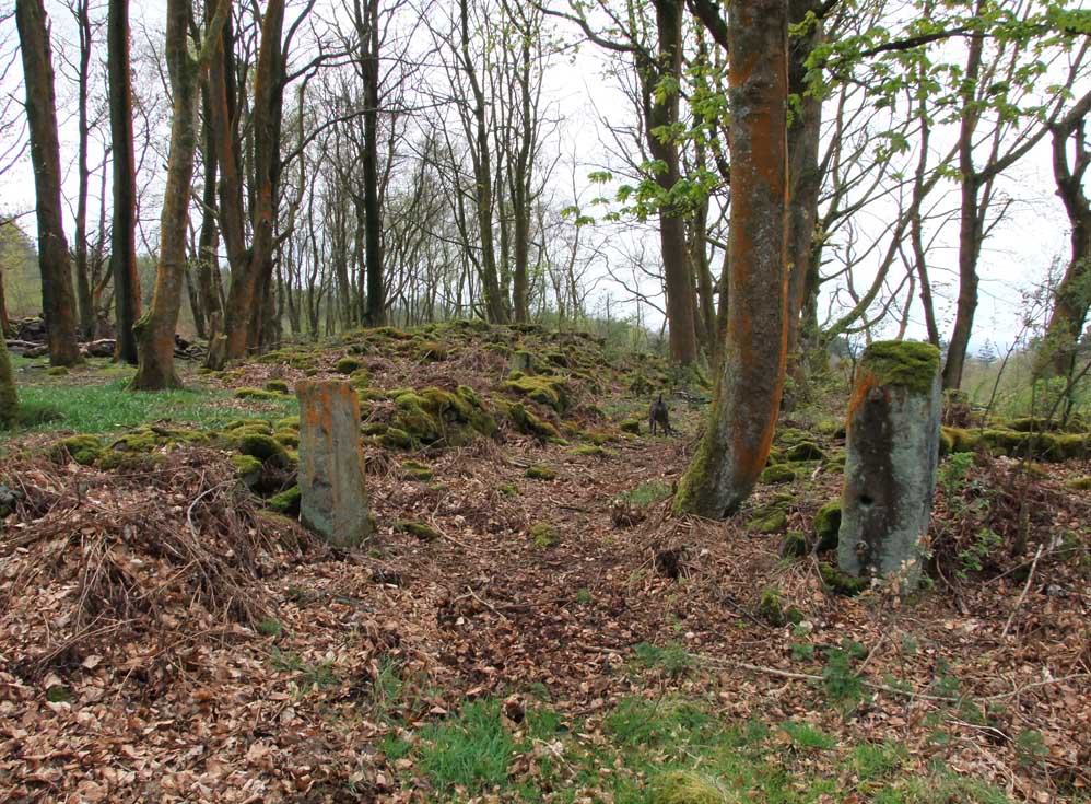
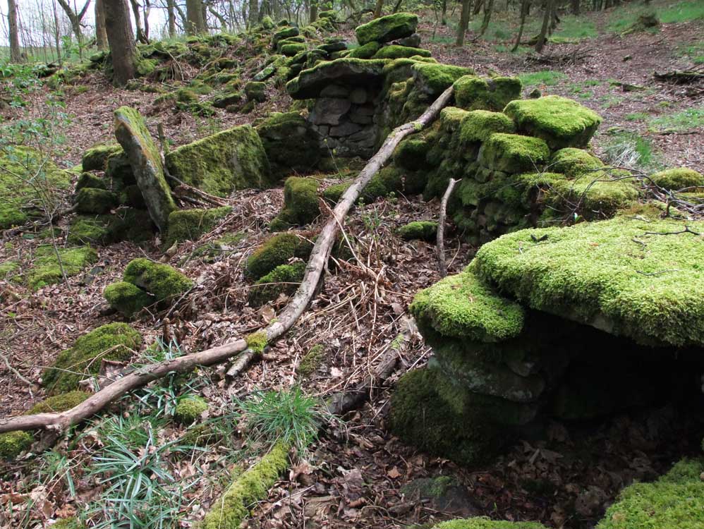
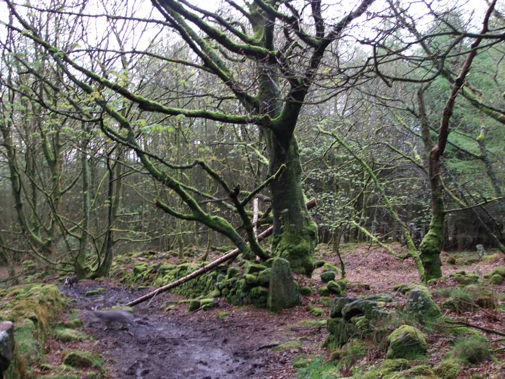
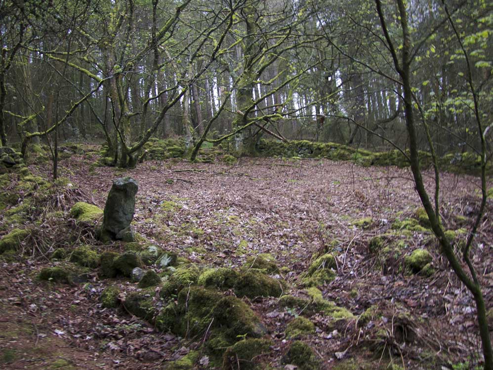
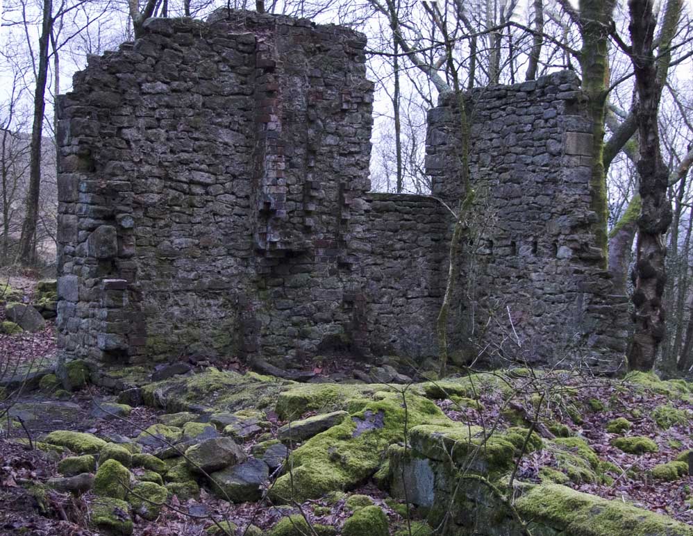
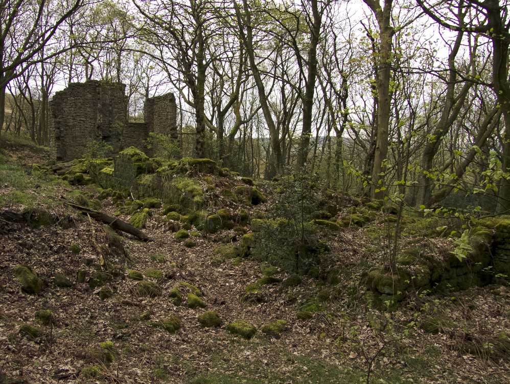
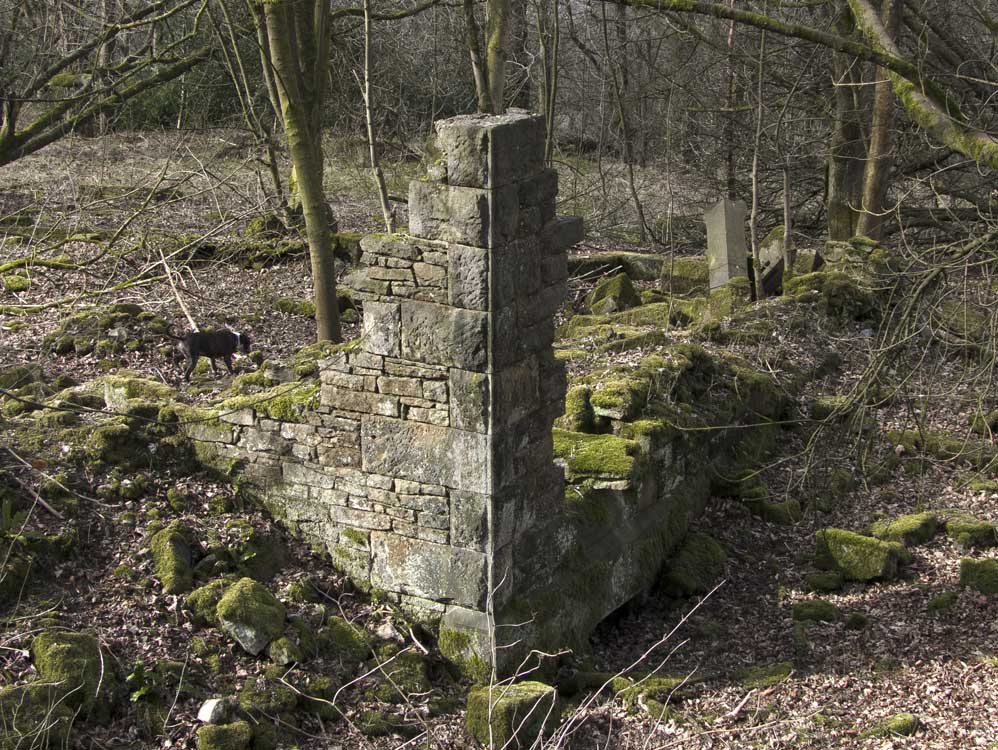
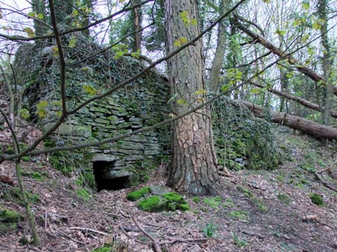
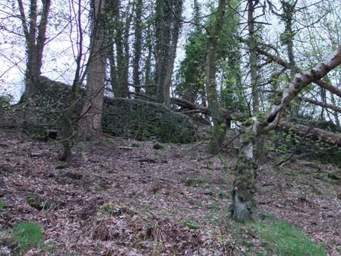
| Blackhurst and Top o'th Wood (SD626204) | ||
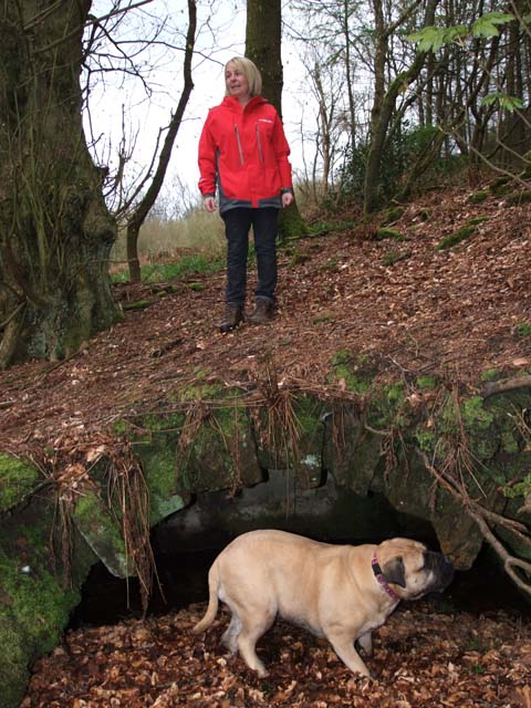
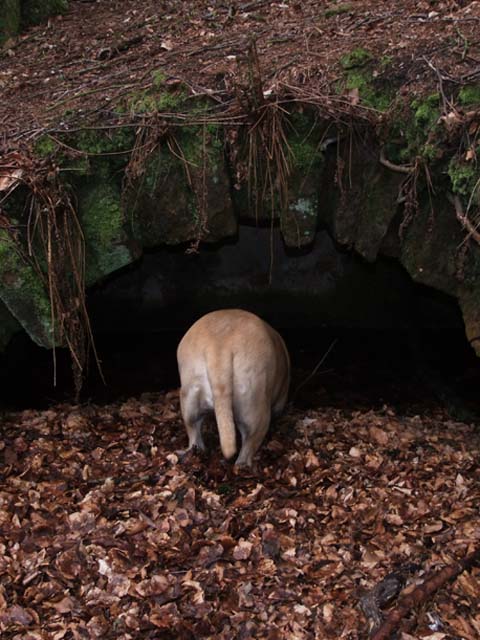
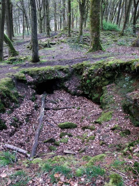
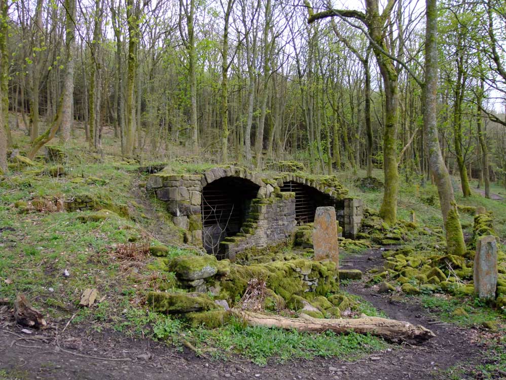
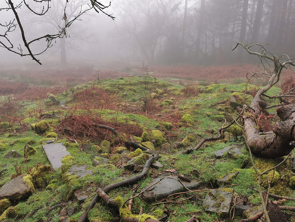
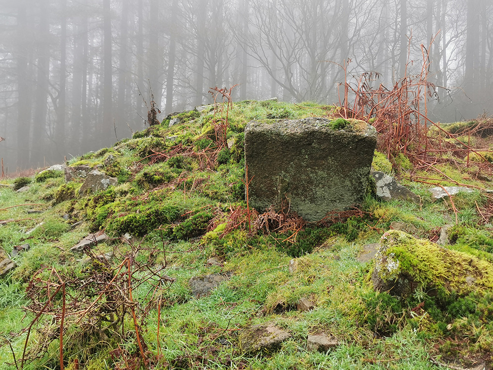
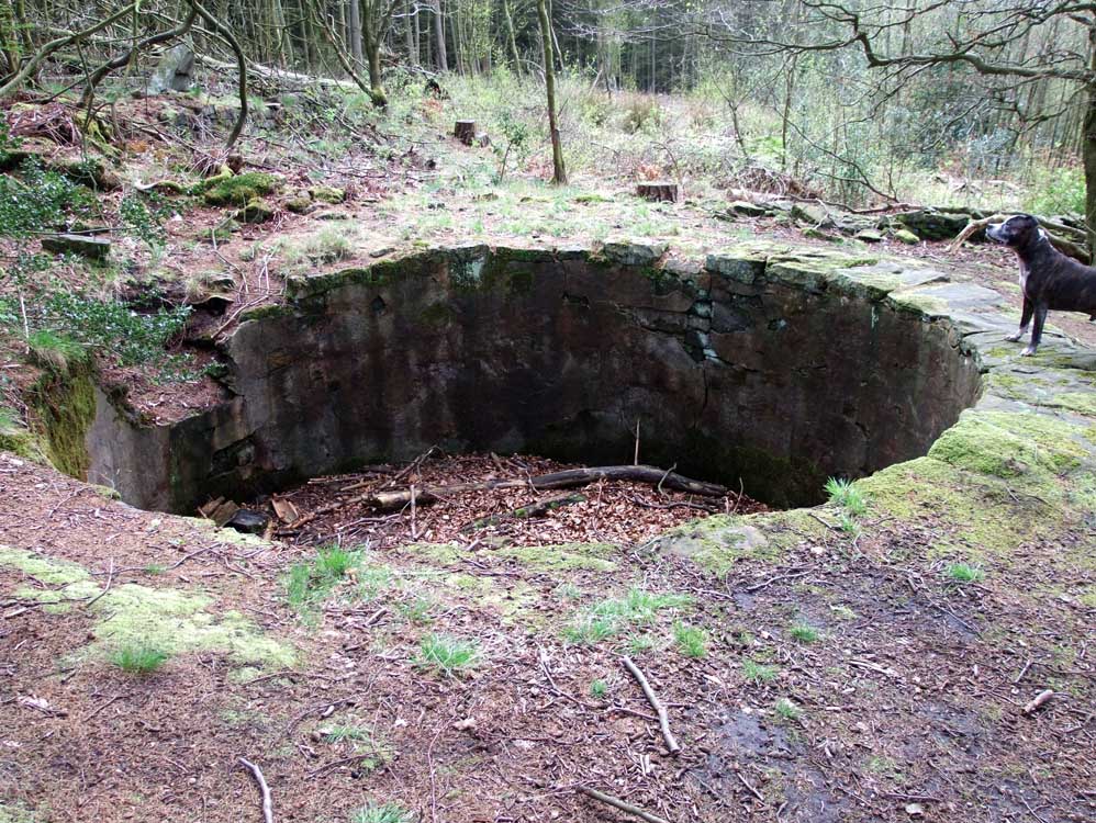
| After leaving Leigh Place, going west and downhill, you come to the substantial ruins of Blackhurst and Top o'th Wood farm. Blackhurst was a large house/mansion and almost next to it stood the farm, Top o'th Wood. Here there is much to explore. The house had a water storage system , being the large crater at the top of the garden, garden paths which can clearly still be seen and walls, cellars and posts abound. Right next to the main track through the woods stands the farm. However, if you cross the track you will find the almost undamaged remains of the Blackhurst stables. These buildings are often mistaken for Heather Lea House. | ||
 |
 |
|
| The arch that covers part of Blackhurst's water system... | ...which still provides thirsty dogs with water | |
 |
 |
|
| The ruins of Top O'th Wood farm | The crater that was originally a water storage system for Blackhurst | |
 |
| The gateposts to the garden of the farm |
 |
| The stable block of Blackhurst's. Still in very good condition, the stables were very well fitted out, even with a fireplace to provide heat in the cold winter months on this exposed hillside |
 |
| Inside the the stables, pretty much as it was a hundred years ago |
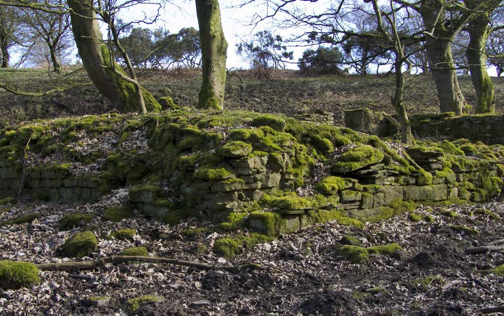
| Marsden's Farm (SD625202) |
| After leaving Top O'th Wood it is a climb to the upper reaches of the Pine Woods to discover Marsden's. This is the tallest of the ruins in the woods, having an almost complete gable end (with upstairs window) and the layout of this longhouse clearly visible |
 |
| The gable end at Marsden's, the people giving a good idea of scale. On the other side of the gable is a chimney breast. |
 |
| This is the other side of the gable. There are two flues, the right hand one was for downstairs and the the one on the eft was for the upstairs bedroom. Both rooms ran the width of the gable end. There was another bedroom window (looking out over Brinscall and beyond) just where the wall stops now |
 |
| A rather ornate window sill for a farmhouse, which was obviously of a good build quality |
 |
| The standard of the build can be seen here to, the corner stones are of good size and quality |
 |
| A view of the entire length of this longhouse, the bedroom window clear to see. |
 |
| Another view of the Marsden's ruins |
 |
| An old ford on the track north from Marsden's |
 |
| The view from Marsden's to the South west and Healey Nab. When the farm was occupied the pine trees on the right would not have been there and the view much more open to the coast. |
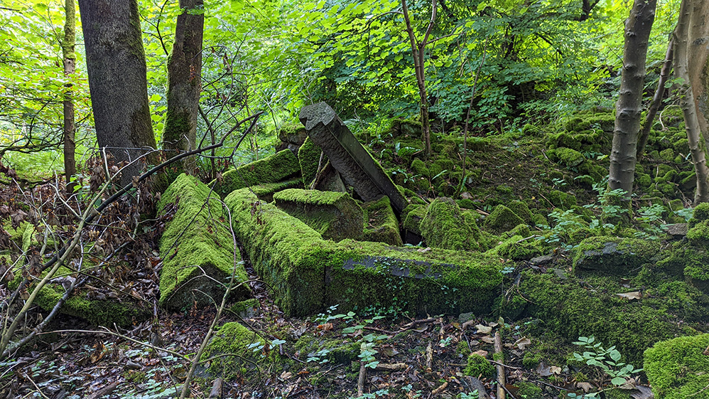
| Goose Green Farm (SD623201) |
| Follow the path down the hill side from Marsden's and at the bottom turn left through a kissing gate. The farm is to the left near trees. Nothing much remains of Goose Green farm and in summer it would be difficult to find if you were unaware of its exact location. Goose Green was one of the lower farms and very well sheltered with a nice view along the valley towards White Coppice |
 |
| The site of Goose Green Farm |
 |
| The remains of the well |
 |
| Goose Green ruins |
 |
| Goose Green Ruins |
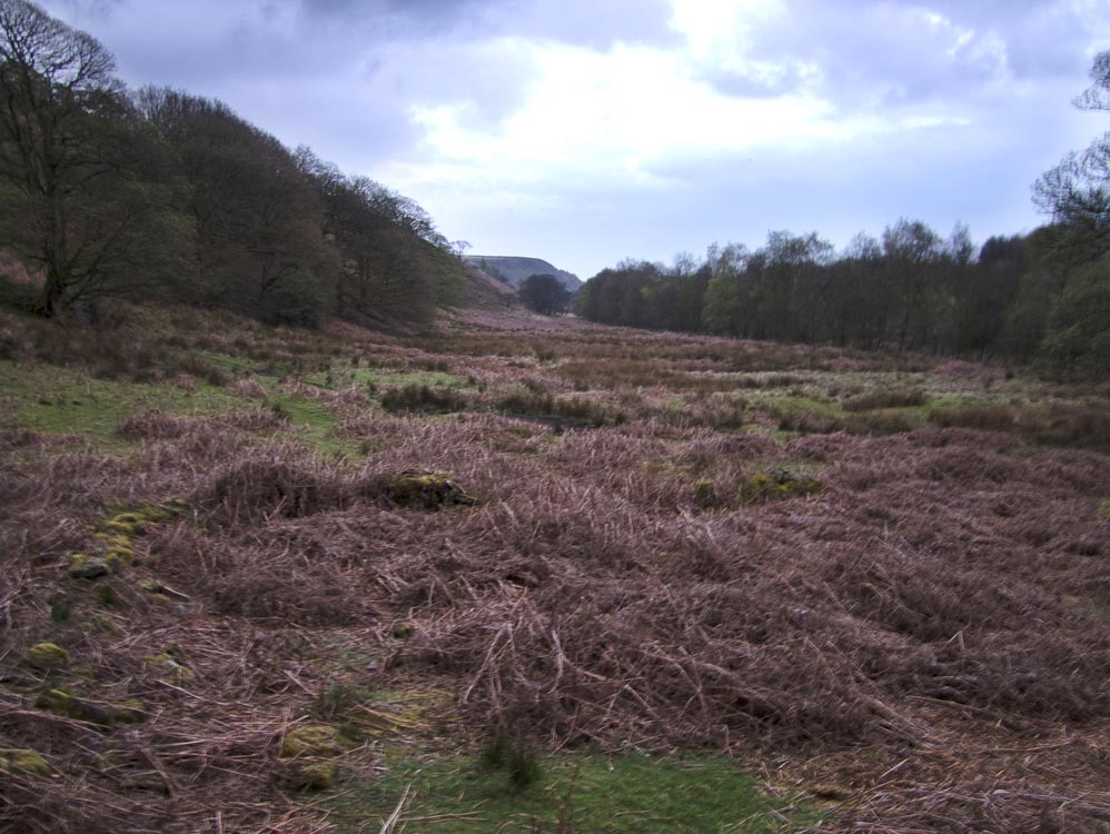 |
| The view down the valley to White Coppice |
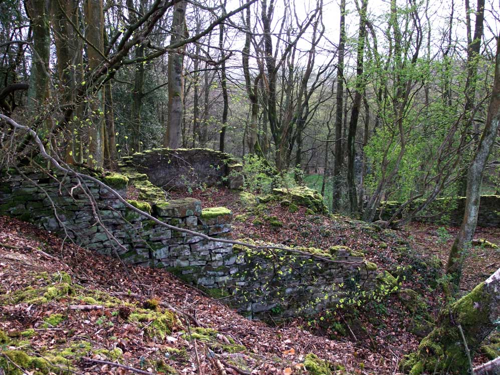
| Heather Lea House (SD627205) |
| Heather Lea was never a farm, it was a mansion built in the 1860s. At the site today, the lawned terrace is still evident and large pieces of masonry especially those that formed the windows. Way up the hillside behind the house is a large circular hole about 4 yards in diameter. This was, like at Blackhurst, a water storage tank. It's quite easy to miss this place, and you probably would not see it unless you were looking for it. Returning to Well Lane after leaving Blackhurst, watch out for a solitary gatepost on the right and take the curving path up to the house |
 |
| A photo showing the excellent quality of the stonework of Heather Lea House. |
 |
| This photo, taken one evening shows more masonry, that forming a large bay window |
 |
| The lawned terrace in front of the house |
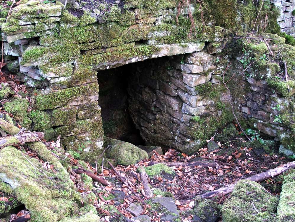 |
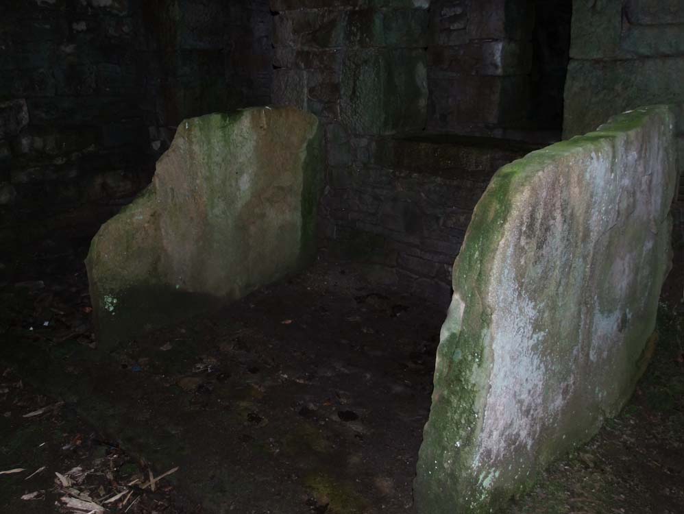
| Entrance to cellars - see photo's below |
 |
| Cellar - to the left of the entrance - note the sloping roof |
 |
| Cellar - to the right of the entrance |
 |
| The large water storage area behind the house. |
| New Ground Cottages (SD62742079) | ||
| There is quite a bit to see at New Ground Cottages, but first you have to find them. Until reading "Lost Farms of Brinscall Moor" I didn't know of their existence, but had walked by them many, many times. Back on the main track after leaving Heather Lea, the cottages are below the track on the left. Built on a steep slope, the farm yard was supported by a large retaining wall which is still doing the job it was built to do, though no one uses the farm yard any more. The site for the most part is very overgrown, and will be even more so in the summer months. The photo's here were taken mid April and it's remains are starting to be hidden. | ||
 |
||
| Some of the remains of New Ground Cottages | ||
 |
 |
|
| Pedestrian gateway to the south of the cottages | Buried ruins in the top right quarter of the photograph. | |
 |
 |
|
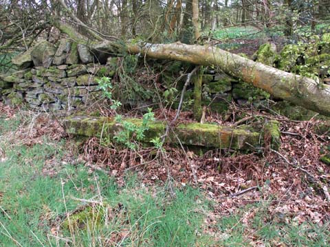
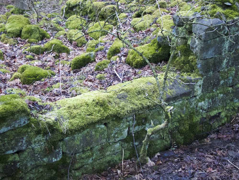
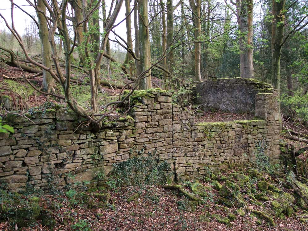
Part of the retaining wall, with what appears to be a well at its base |
The slope is quite steep, this is taken from an old track that runs below the cottages coming down from the next farm - New Ground Farm |
|
| New Ground Farm (SD62772091) | |
 |
|
 |
|
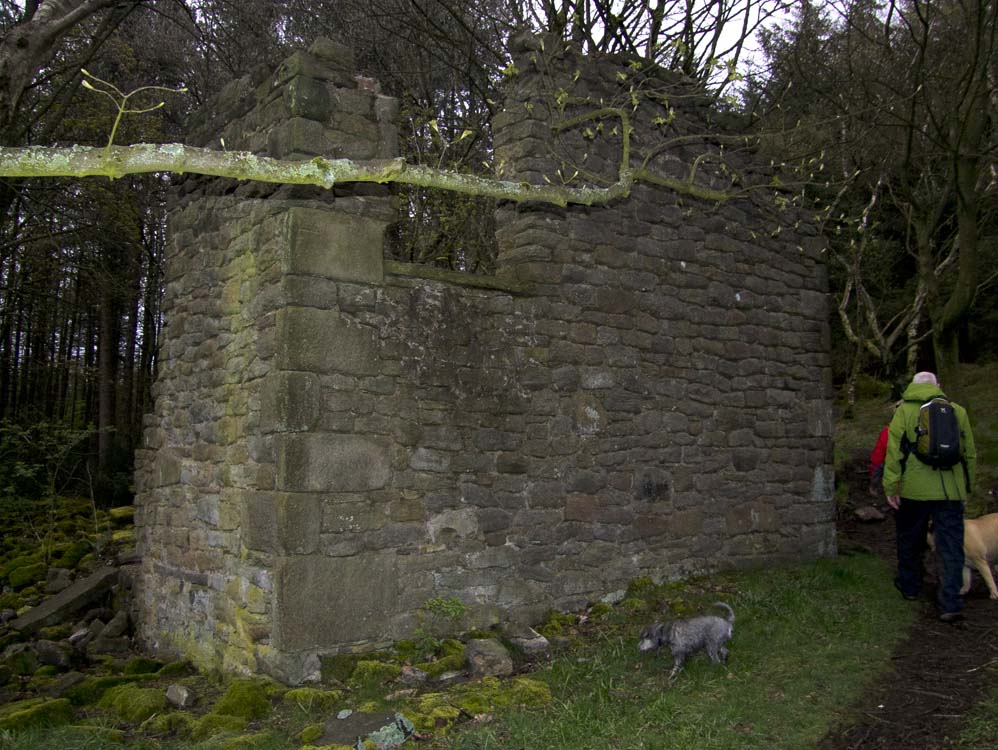
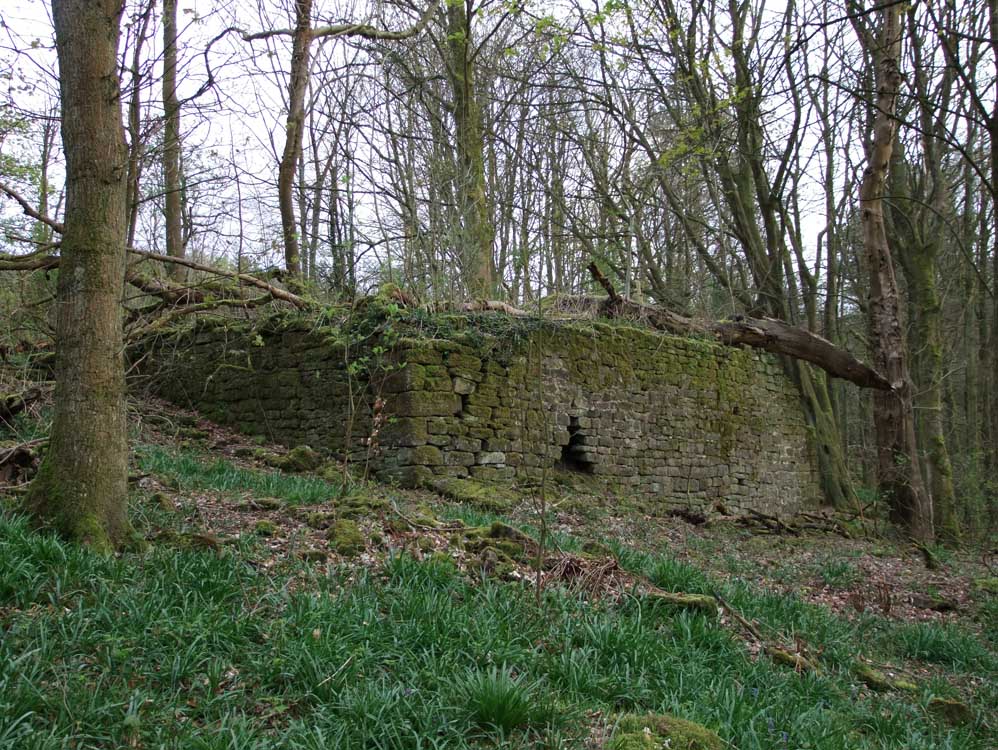
| Part of New Ground Farm. There has been an extension to the original building at some point as there is a clear line dividing the structure and no keying in has taken place | |
 |
|
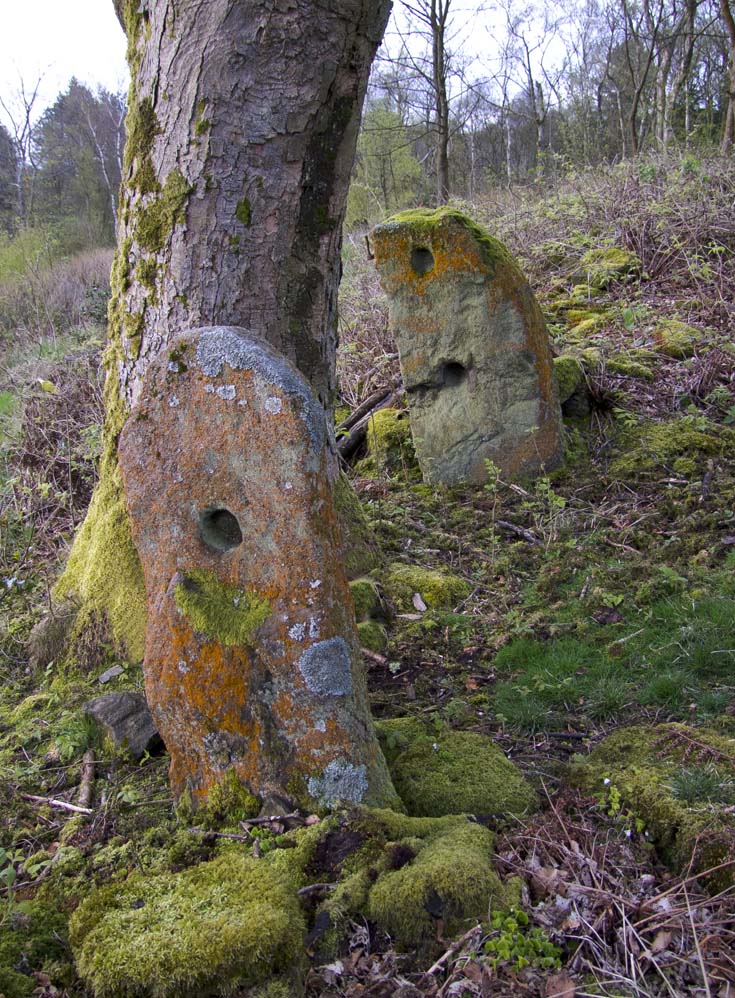
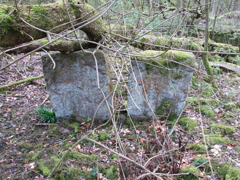
| I am not sure what these are - but my guess is that it is the remains of a stable or milking shed. The slabs would have been separated by a wall that went between them | |
 |
|
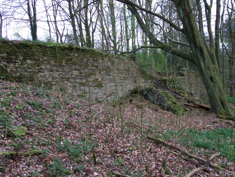
| The slope here is not quite as steep, but a rampart had to be built to have a level yard | |
 |
|
| A buttress supports the wall | |
| So that concludes the section of the ruins in Heather Lea Woods | |