|
| Ruins Homepage | ||||
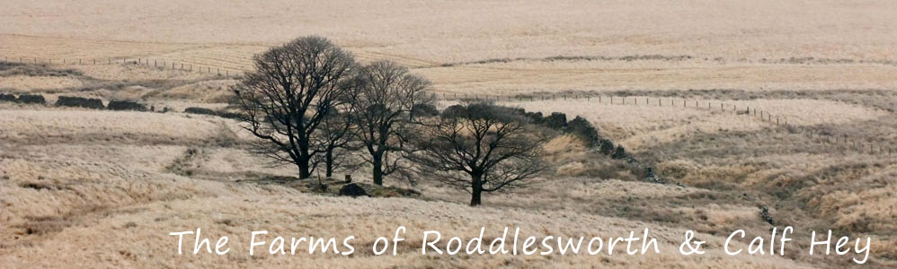
There are seven farms in this area, which is on the eastern slopes of Great Hill. All farms but one, Stake Hill are accessible. However, Stake Hill can be seen at close proximity. The state of the ruins varies significantly. One last word of warning about the return from Pimm's; the book advises turning right through a stile. If you have a dog, in particular a large dog I would advise against taking this route as there is no stile or gate at the end of the path since new fencing was erected - your dog will have to be lifted over, and my large bull mastiff is simply too heavy to lift!! Return by the route you came. This is another walk where a simplified route may apply, however, parts of this long walk are stunning, and parts a little boring. Having said all this I enjoyed the walk and will walk much of it again |
 |
I also took the opportunity to visit Mosscrop's, featured in the Twist Moor walk but only seen from a distance. If you want to explore Mosscrop's on this walk then after exploring Keck's head south along the old walled driveway and turn left at the fence. Continue to an old gate, go through this and turn south west to a bricked up gate way and Mosscrop's is close by. The photo's of this farm have been added to the Twist Moor page
|
|
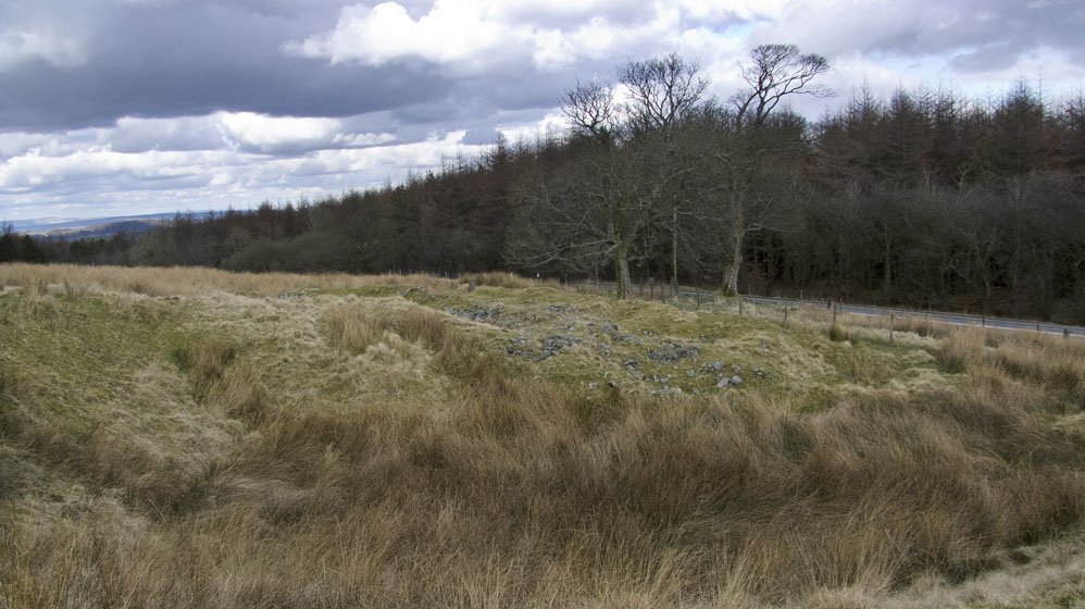
| Pimm's (SD652195) | |
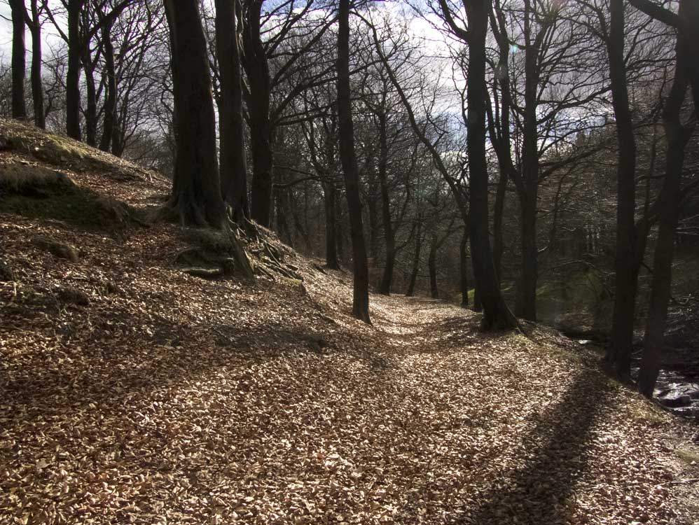
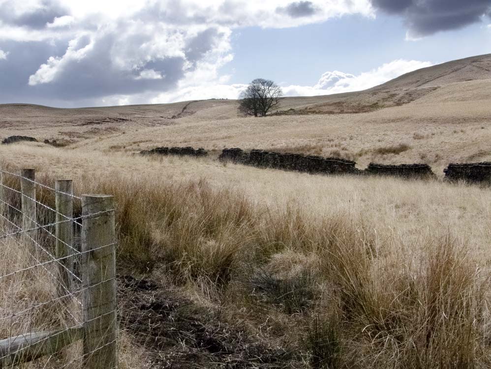
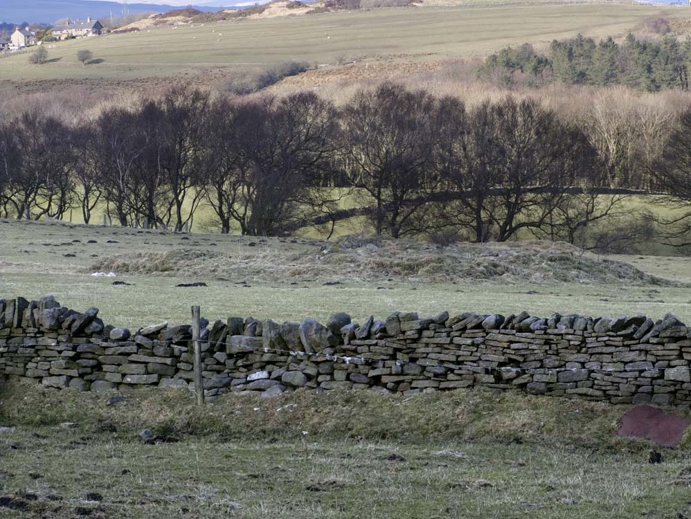
| Talk about the thrill of anticipation - it's two miles to the first farm if you parked at Roddlesworth Lane, but it is a lovely walk along the Roddlesworth river. After crossing the busy A675, it is a flattish moorland walk to Pimm's Farm closely following Calf Hey Brook and, in places a dry stone wall that is in excellent condition and still at its full height. Pimm's stands at the start of the slope up to Great Hill and is quite well sheltered. It was one of the more remote of the 48 farms on the Moor. | ||
 |
||
| The path alongside the Roddlesworth, still covered with autumn leaves in march. A lovely section of the walk. | ||
 |
||
| After crossing the A675 and walking alongside the fence, it suddenly turns 45 degrees and Pimm's. or I should say the sycamores of Pimm's, is clear to see in the distance | ||
 |
 |
|
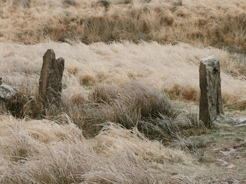
| The gate posts of Pimm's Farm | ..and looking back at them | |
 |
 |
|
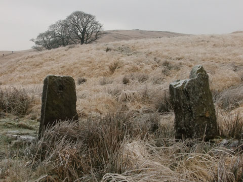
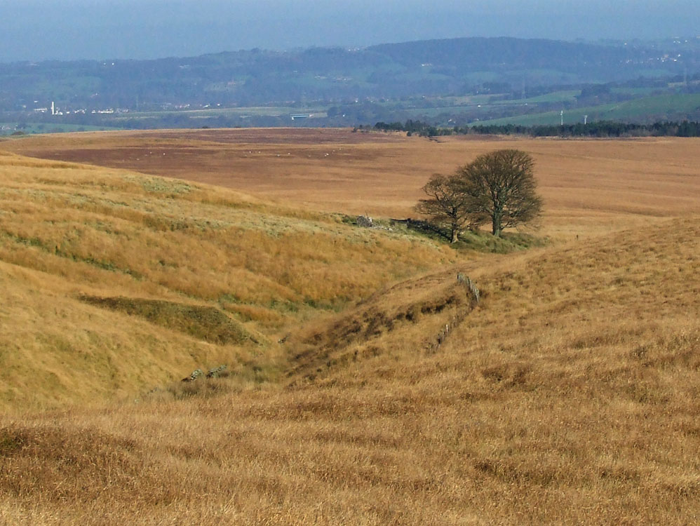
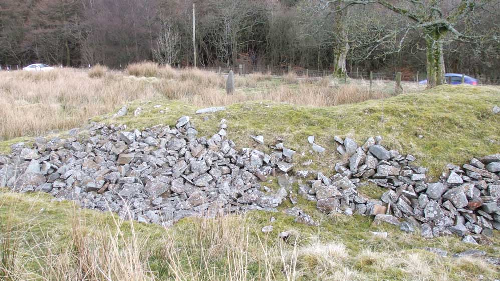
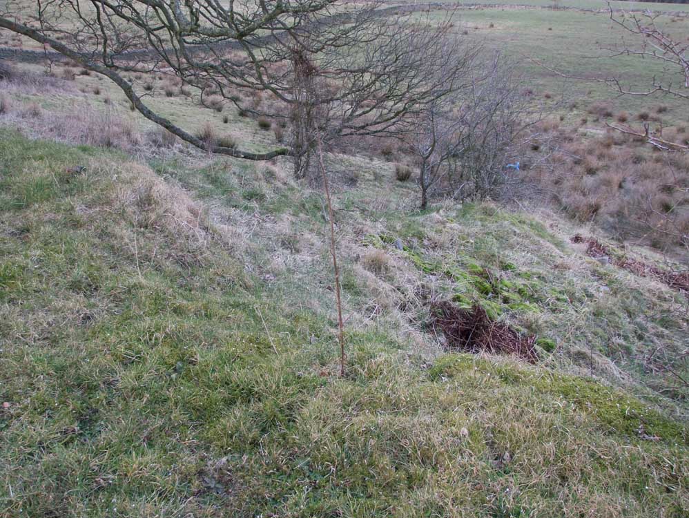
First glimpse of Pimm's |
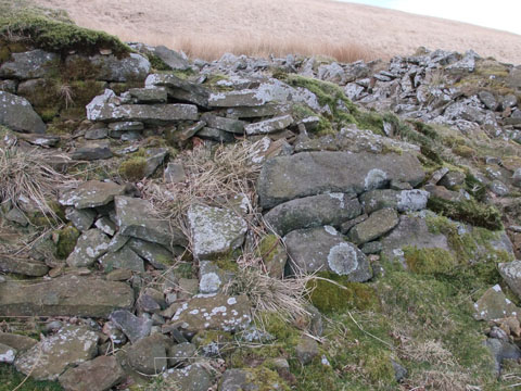
Look carefully and you will see some of the original wall and a large buttress to support the wall as it was built on a slight slope
|
|
 |
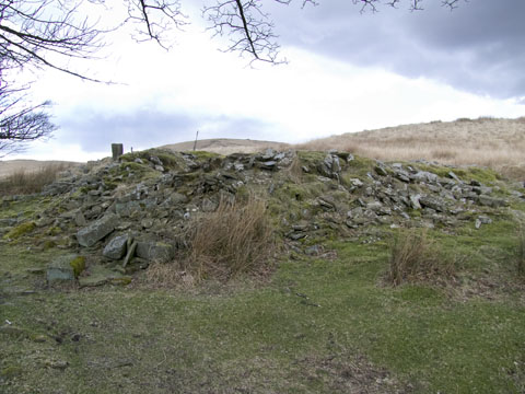
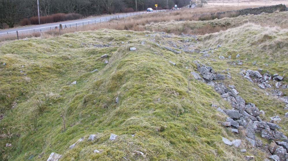
| The west side of the farm has survived well, and the wooden post protruding from the ruins is a roof beam. |
 |
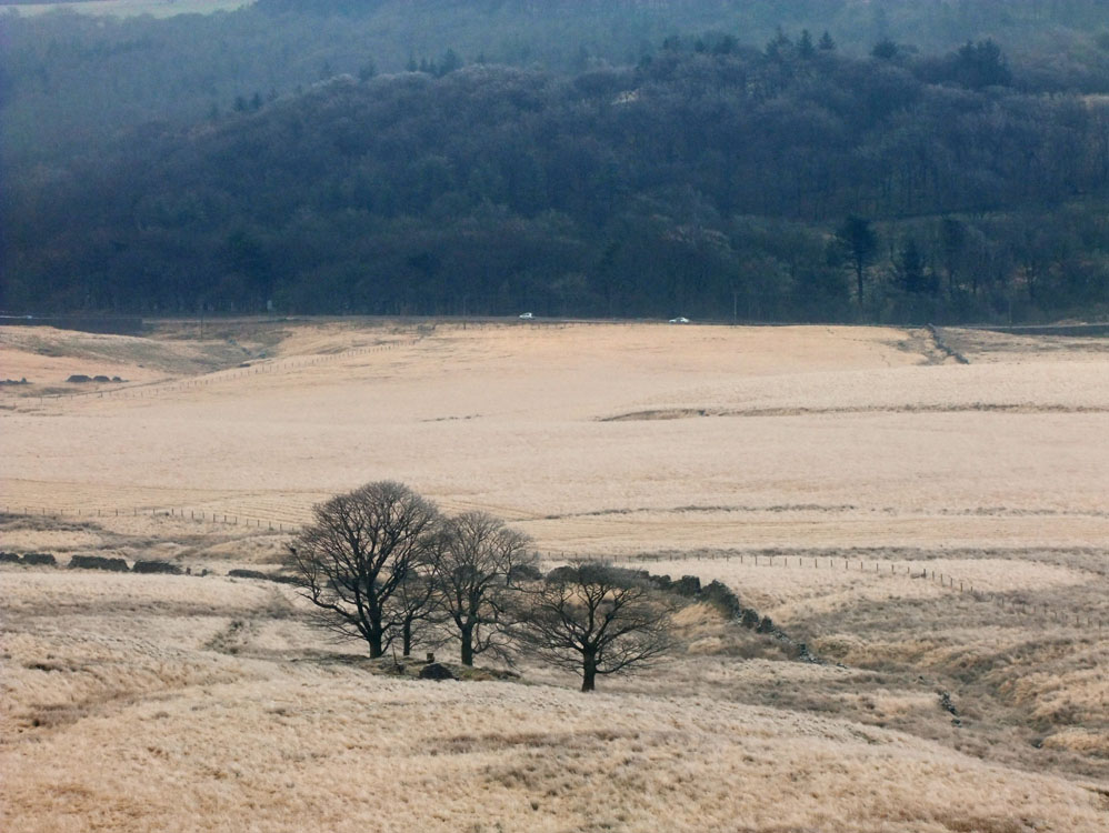
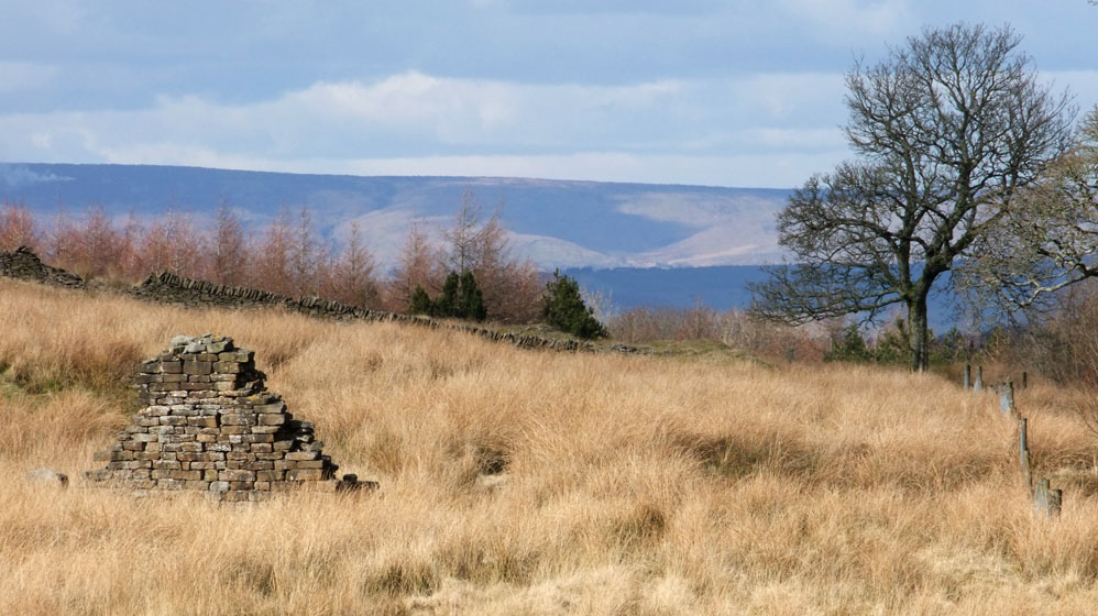
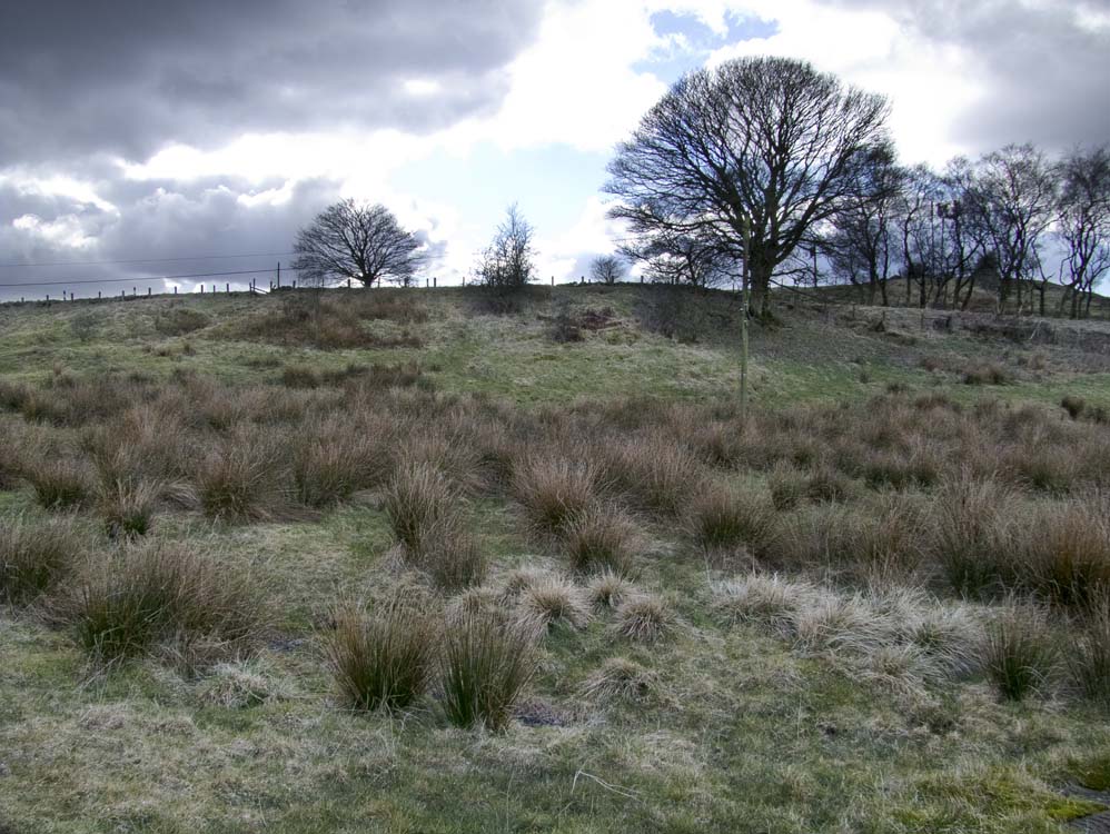
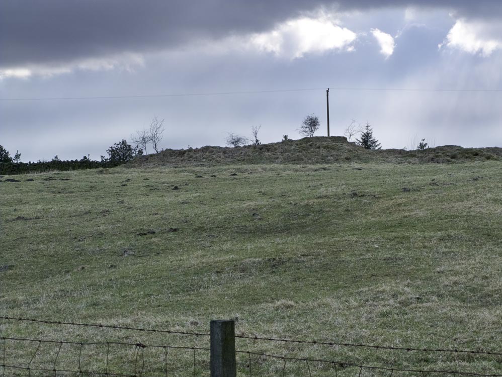
The flatlands of the farm are clearly visible from this photo taken from the slopes of Great Hill
|
 |
| Looking down on Pimm's from Great Hill's upper slopes - the A675 is visible in the distance |
| Lower Calf Hey Farm (SD658202) |
| A substantial gable end of the barn at Lower Calf Hey survives, along with a largely unnoticed gable end right on the roadside of the A675. Other than that the rubble is mostly grass covered |
 |
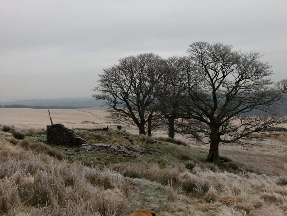
| Returning from Pimm's, this long house, known as Piccadilly, is an example of what many of our ruins could have looked like today. |
 |
The gable end of the barn is clearly visible. The other end of Lower Calf Hey is just to the left of the Chorley sign, that being the gable end of the farmhouse- very close to the road
|
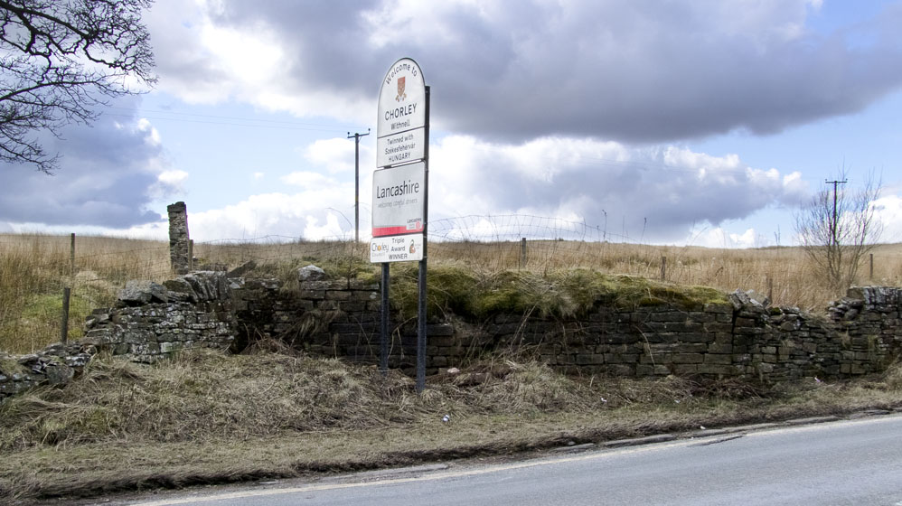 |
| Lower Calf Hey's gable end, close by the roadside |
 |
| Closer view of the barn's gable end |
 |
...and taken from the other side, an idea of its size is indicated
|
 |
Looking from the barn in the direction of the farmhouse, to its far end by the A675
|
| Higher Calf Hey Farm (SD657204) |
| Another farm very close to the roadside, it was a larger farm than its near namesake. One gate post survives. However, it was Lower Calf Hey that was inhabited the longer of the two. |
 |
| Higher Calf Hey Farm ran parallel with the A675 as these ruins show |
 |
This photo shows some of the rubble and the lone gate post beyond
|
 |
Much of the stone work is now covered in moss. however, examining the foundations reveals that this was a quite a large farm
|
| Besom Hall (SD656212) |
| Oh the number of times I have driven past this spot and never realised there had been a farm here. Besom Hall Farm is the only one of the 48 the be built on a slope allowing for a third storey for storage. It position is, like Lower & Higher Calf Hey farms, right next to the road, another sycamore marking its location. As for ruins - there is not much to see |
 |
Besom Hall stood to the left of the large sycamore, which is alongside the A675.
|
 |
Looking downwards - the slope is quite severe, easily allowing for a third level to the building
|
| Stake Hill Farm (SD655212) | ||
| The only farm where access is severely restricted - though it is possible to get quite close to it | ||
 |
||
Stake Hill Farm, photographed from near Besom Hall, on the A675
|
||
 |
Stake Hill from the field after passing through Watson's Farm. Watson's Farm is a long longhouse.
|
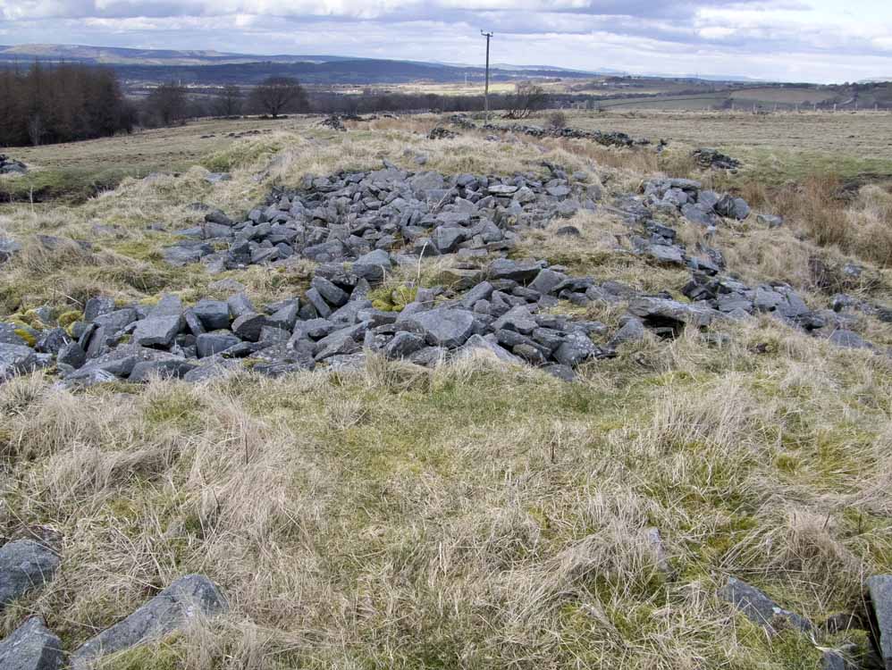
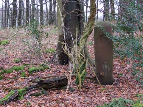
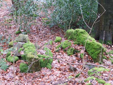
| Keck (SD648213) |
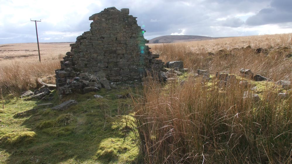
| A large ruin with two separate buildings, there's much rubble - but there are good foundations to be seen too. Close to Rake Brook - it is an exposed site. |
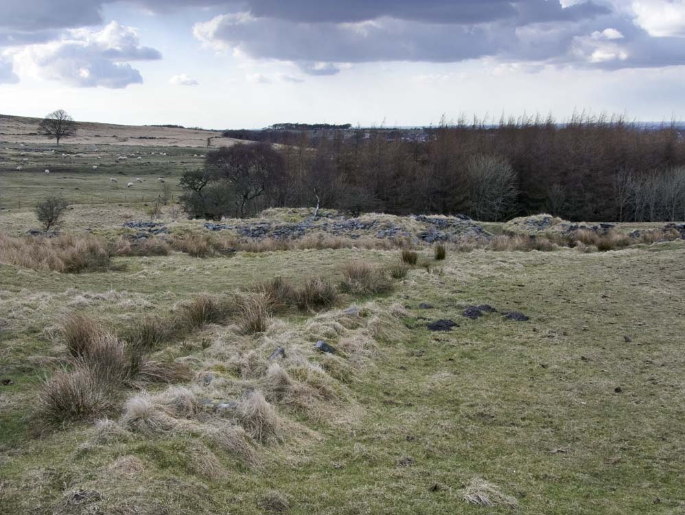 |
It looks like a pile of rubble, but look closely, walls still stand ....
|
 |
... and foundations are clear to see, as is the typical long house layout.
|
 |
The second of the large buildings set at 90 degrees to the first.
|
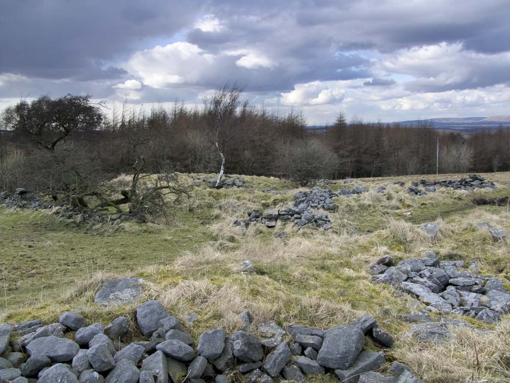
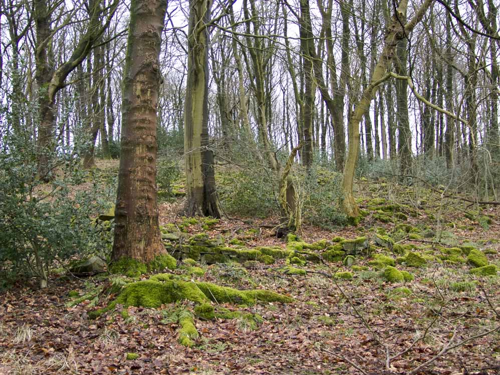
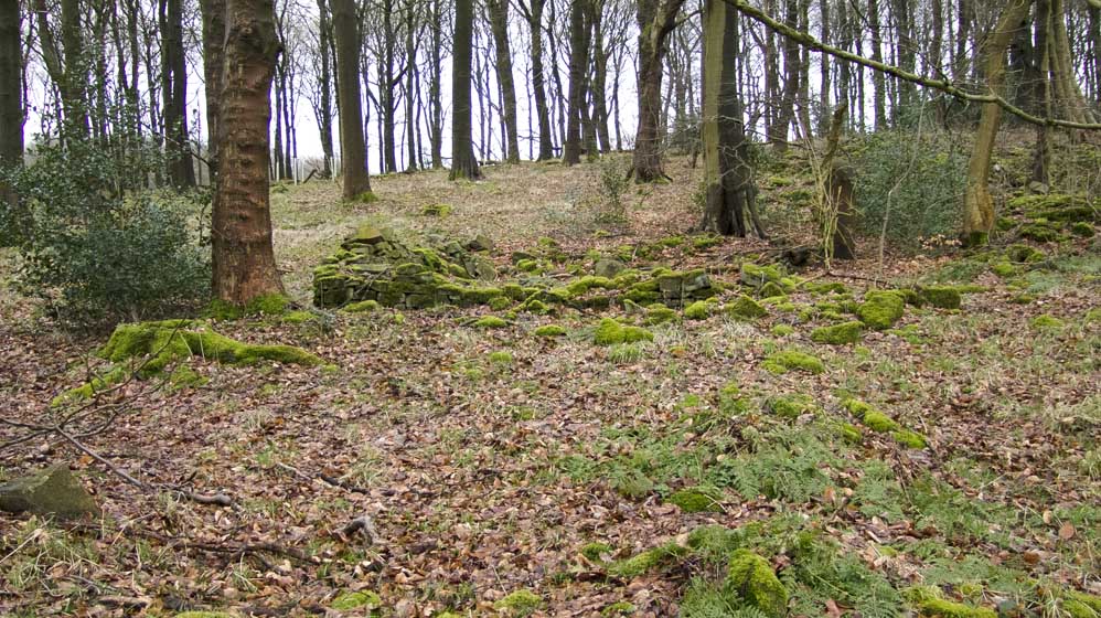
| Rake Farm (SD647220) | ||
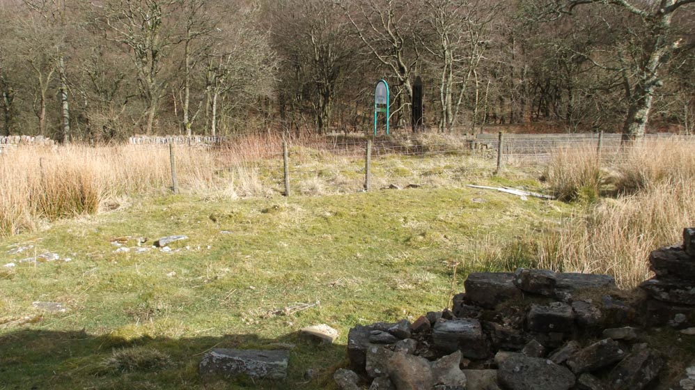
| Like so many of the farms on this walk it is close to the road, be it the modern A675 of the old turnpike and pre turnpike routes. Rake Farm is the only one in this group that is in woods, though it did not used to be. However, id does mean that moss and undergrowth hide much of the buildings, though some walls and foundations are clear to see. | ||
 |
||
| Trees are now growing in the old ruins | ||
 |
||
| Still in excellent condition, ridge stones like this one are plentiful at Sour Milk Hall | ||
 |
 |
|
One of many metal gateposts in the area
|
A porch entrance may be?
|
|
 |
||
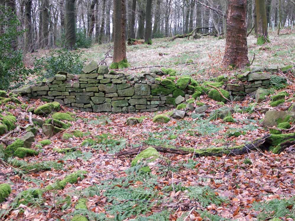
| Possibly the best surviving section of wall at the farm |
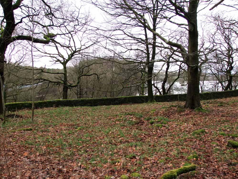 |
The view the farm would have had. No trees to restrict the view of Rake reservoir. Also there is a walled driveway to the right if you follow the wall. That concludes the pages for the Lost Farms of Brinscall Moor and I hope you have enjoyed it and found it useful. I have deliberately not given more details of the farms, eg occupiers, stories, dates etc. To find out more you should buy David Clayton's excellent book. I will, however, add more photos to these pages and the Now and Then section and write some brief Walkers route guides that can be printed off, for my arm ached after carrying the book for seven miles on this walk! |