 |
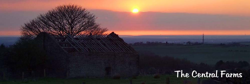
There are eight farms in this group plus a couple of oddities. They lie to the north of the Pine Woods from brinscall to the very isolated farms on Wheelton moor. Included in this group are the two largest ruins, namely Ratten Clough and Solomon's Temple. |
 |
Greenlands (SD629213) |
|
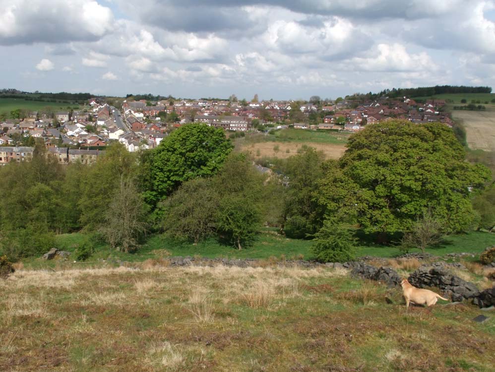
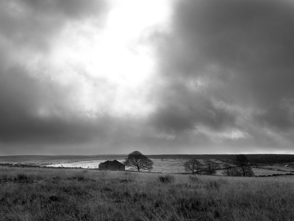
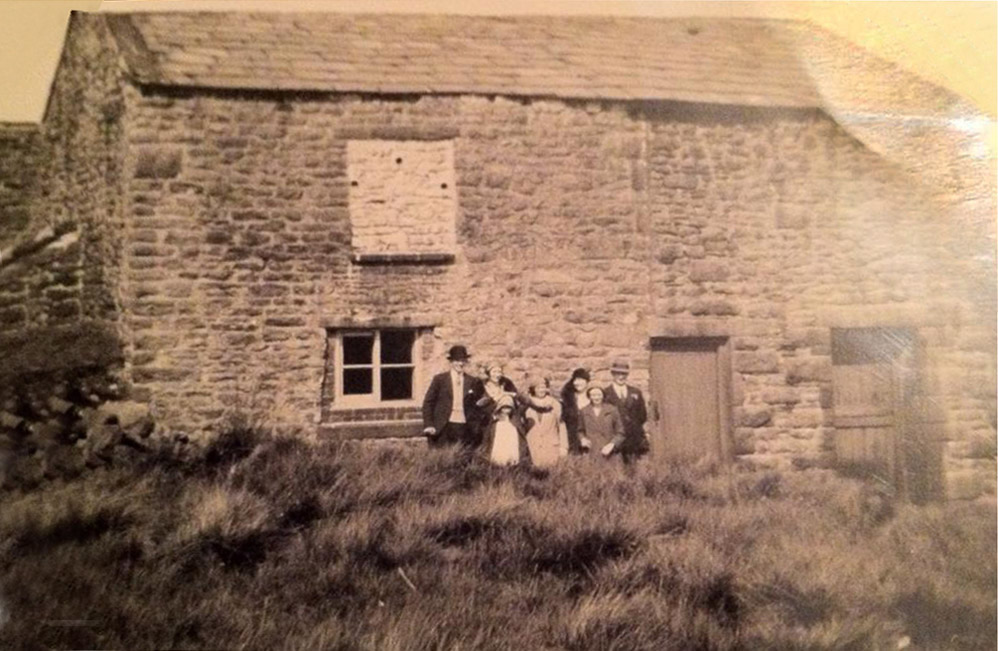
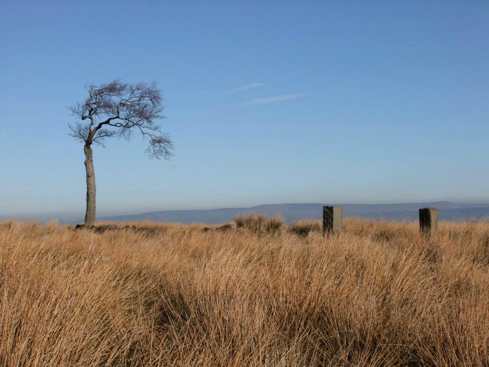
A small farm with a separate barn, it lies 120yards to the left of Well lane. It is close to Brinscall and the lowest of the farms in this group. At one time fifteen people lived in this farm. It must have been cramped. See the photo in the Cockers Folly section below for the only photo I have of Greenland's |
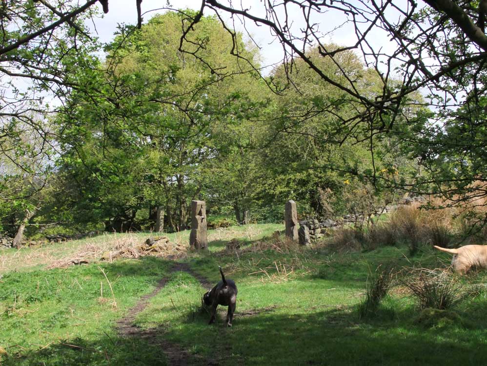 |
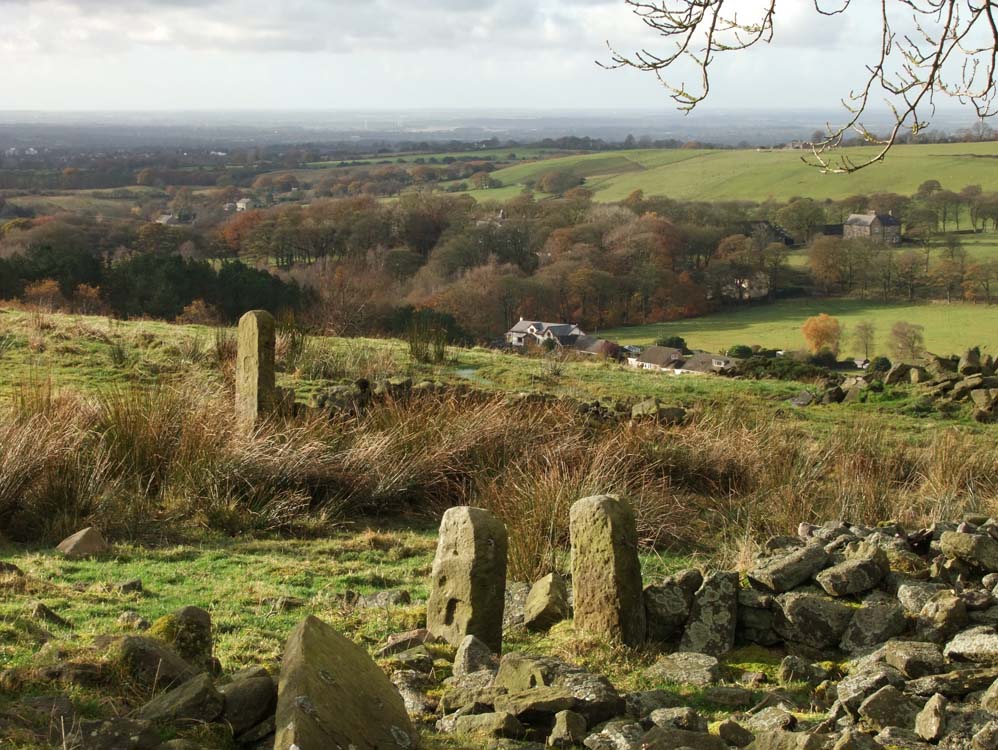
The approach to Greenland's - the farm is through the gate and the track up to Cocker's Folly veers off to the right of the posts |
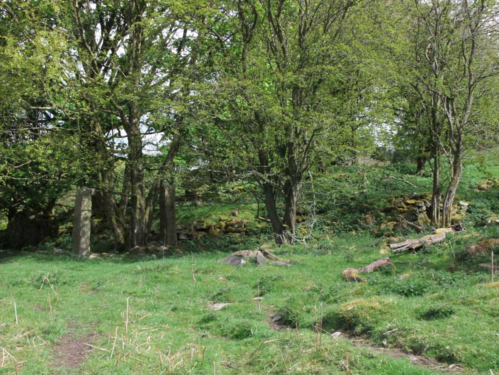 |
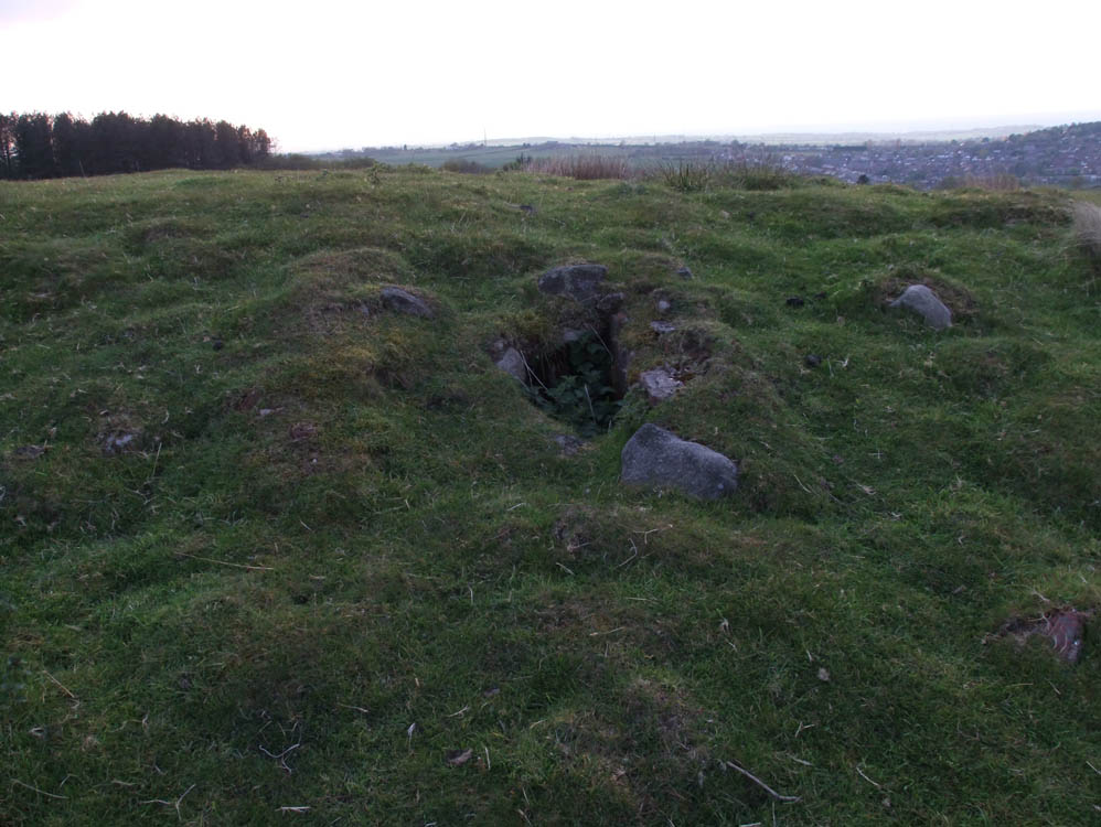
| The ruins of Greenland's with the posts of the garden gate |
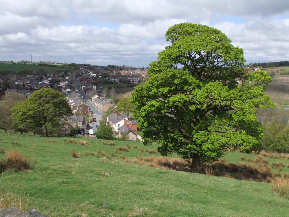 |
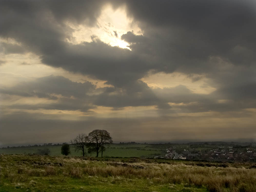
| The view of Brinscall from the track above the farm |
 |
||
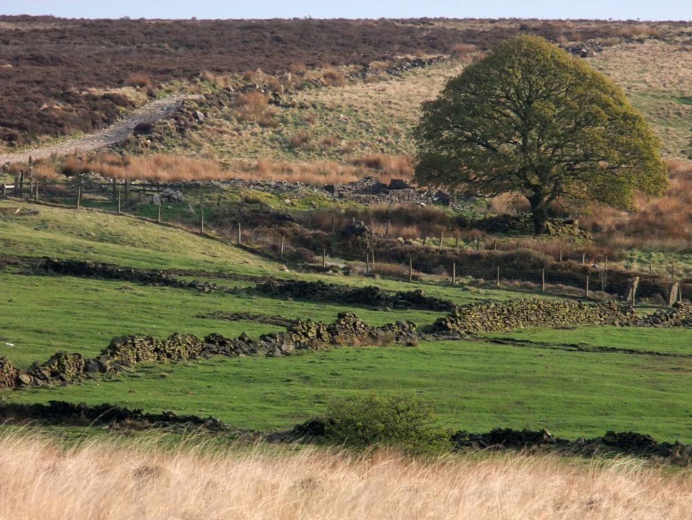
Looking down on the location of Greenland's. The ruins lie in the green area in the bushes and trees
|
||
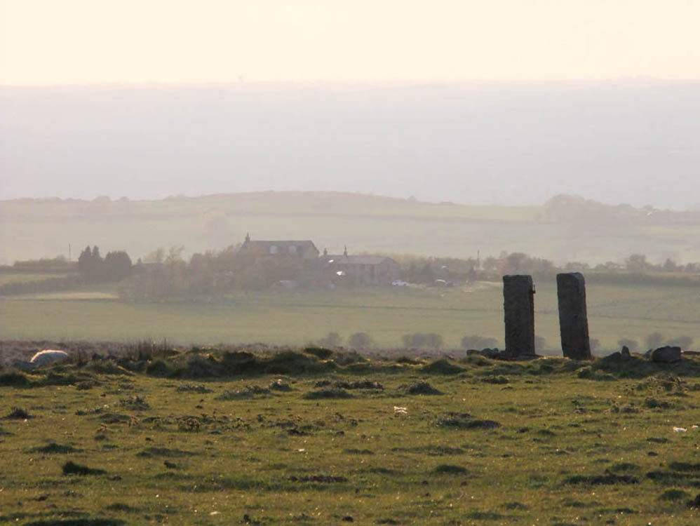
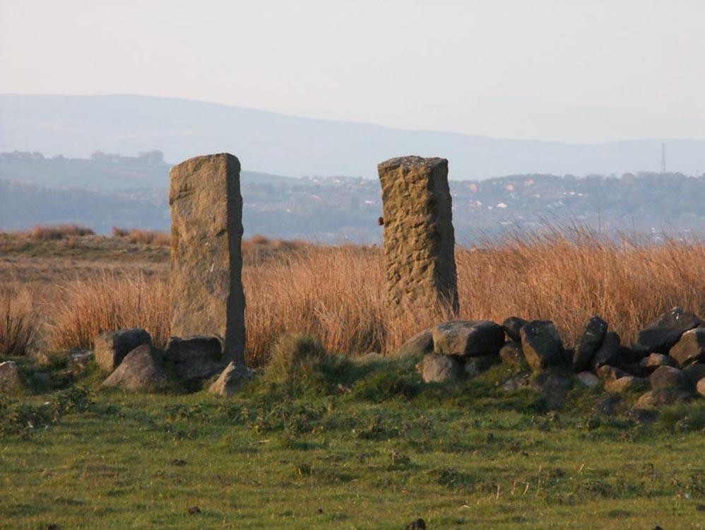
| Cocker's Folly (SD631213) | ||
| Cocker's Folly lies at the top of the walled green lane that can clearly be seen on the hillside as you enter Brinscall from Wheelton. There are substantial stoneworks still to be seen here, along with the remains of the farm's pond. It has two sycamore trees standing guard. | ||
 |
||
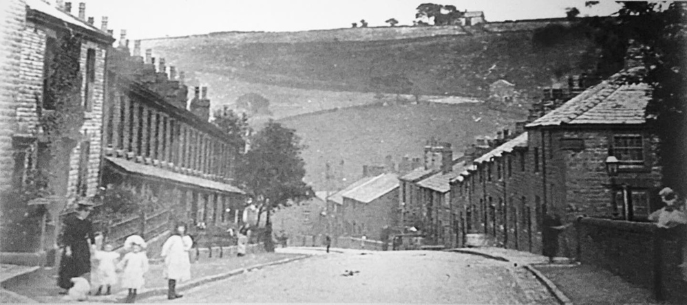
| An old photo - possibly 1890s showing Cocker's Folly on the skyline and Greenland's down below it. | ||
 |
 |
|
| The green lane leading up to Cocker's Folly | The view to Brinscall from the ruins | |
 |
 |
|
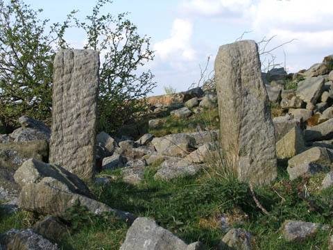
| The two large stones that formed the arch of the barn door. | The gateposts into the farm's garden | |
 |
| Looking south west towards Beardsworth's Farm which stood 500 yards away. A century ago its roof and smoking chimneys would have been visible | ||
 |
 |
|
| The posts at the garden entrance | ...and into the farmyard | |
 |
||
| Looking back to Cocker's Folly | ||
 |
||
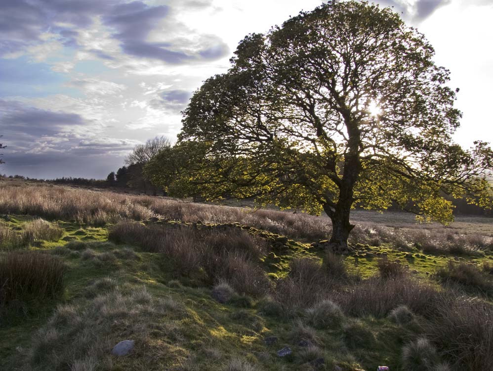
| The weather can change quickly as this atmospheric shot shows. Cocker's was a very exposed farm with clear views to the coast. The Lake District and Wales can be seen from here on a clear day | ||
 |
||
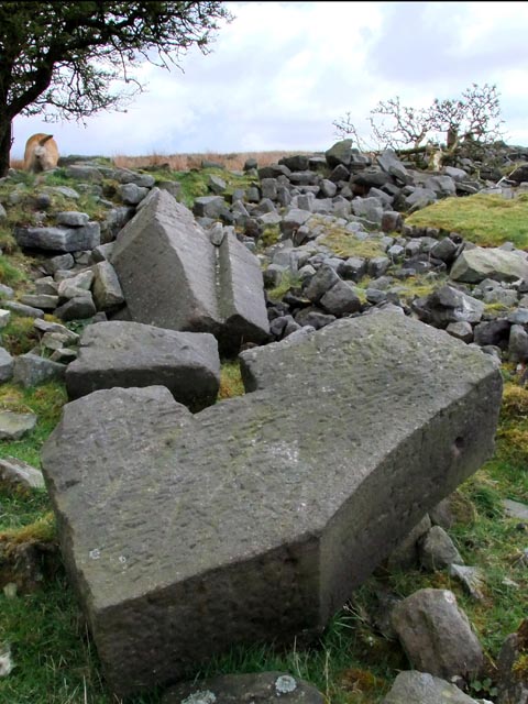
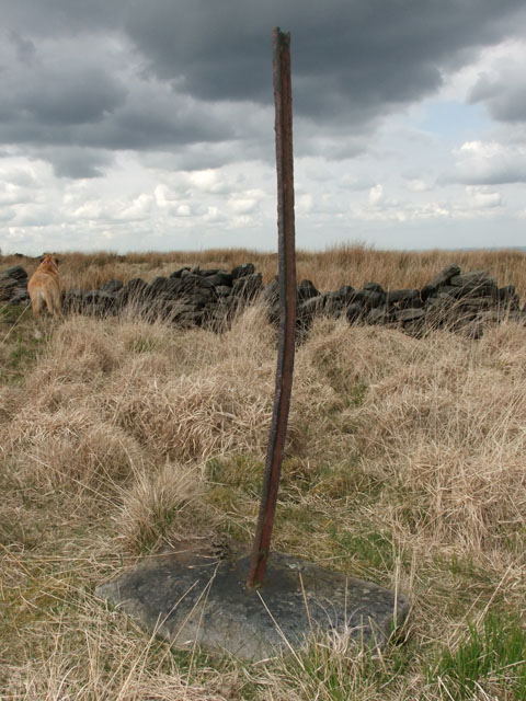
| In the field between Cocker's Folly and Ratten Clough stands this old fence post. This is early recycling. The post is a piece of railway track, probably from one of the local quarries. It has had holes drilled through it to allow wire to be fed through to form fencing. The rail is set into a large flat stone. This appeared to be the only one I saw standing, though I did find several lengths of track. | ||
| Beardsworth's (SD63011) | ||
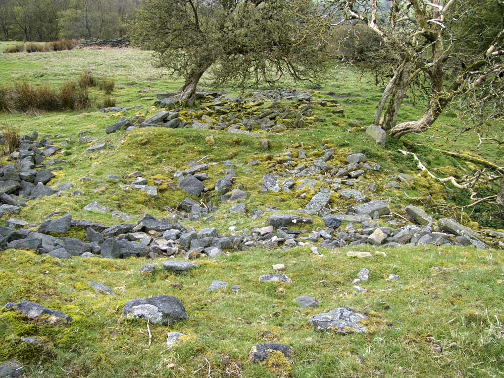
| Another smallish farm only 500yards or so from Cocker's Folly in a south westerly direction. It was exposed to the west but did have some shelter from the east as the moor rose behind it. Most of it is now a pile of stones but a curved step way leads up from the farm to the track that ran behind it. | ||
 |
||
| Ruins at Beardsworths | ||
 |
||
| Beardsworths - showing its exposed location | ||
 |
||
| One of the outbuildings | ||
 |
||
| The overgrown curved step way from the farmhouse to the track | ||
 |
 |
|
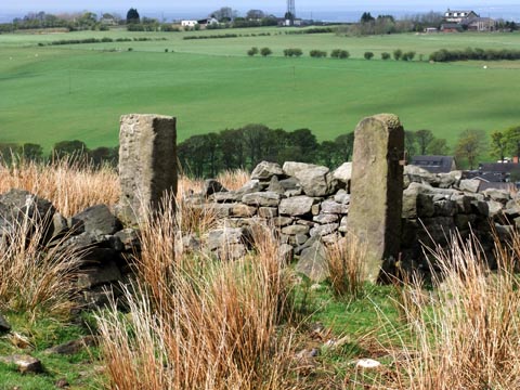
| Two small gateposts - but not sure as to their purpose as the opening is narrow | Just past the farm Belle passes a walled up gateway. | |
 |
||
| A view of the ruins looking east. The shape of the buildings can still be made out | ||
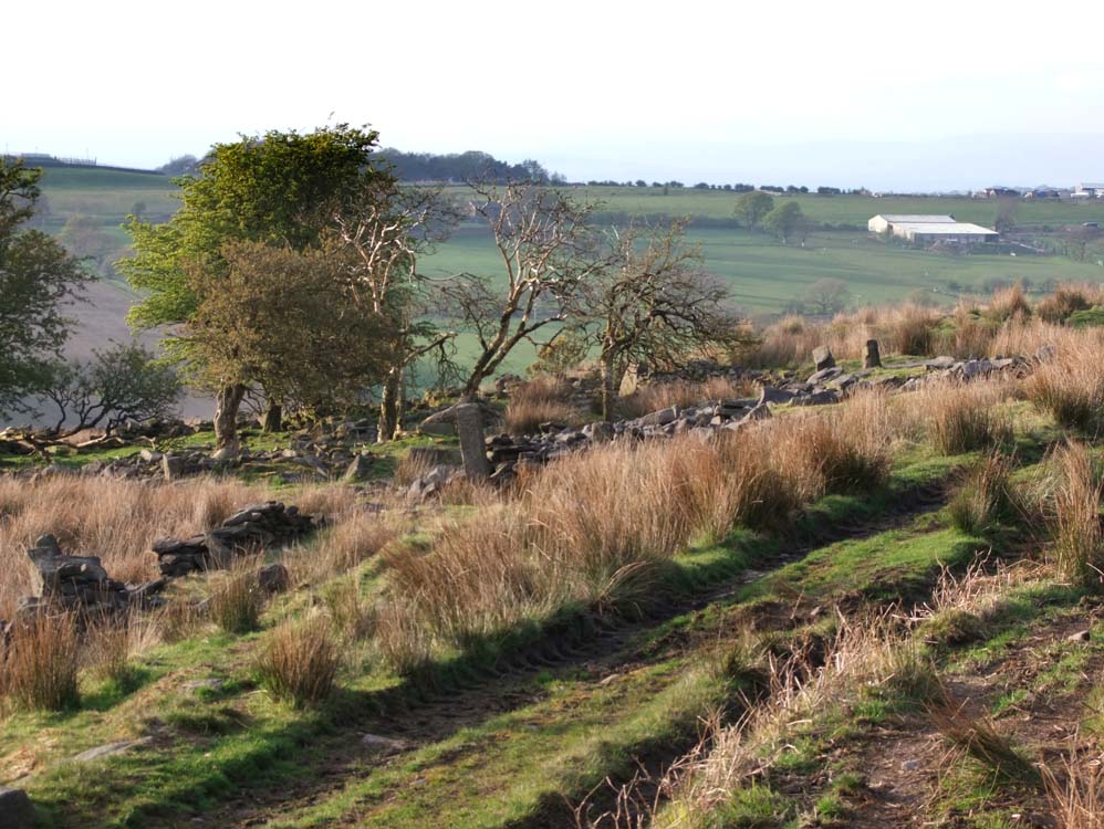
| Whittle's (SD632206) | ||
| Well Lane becomes Edge Gate Lane and at the very top of it stood Whittle's. It is/was in a lovely location and the views from it are wonderful. Nowadays people pass it without even noticing it as they make their way up to Great Hill. | ||
 |
||
| The view from the top of Edge Gate Lane. Whittle's is out of shot to the left | ||
 |
||
| Whittle's ruins. The track to Great Hill can be seen top left of the photo | ||
 |
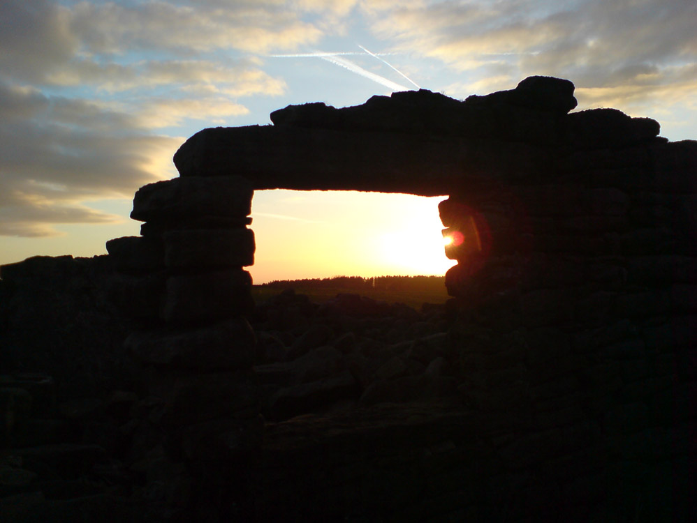
||||||
Sunset at Whittle's |
||||||
 |
||||||
| Whittle's, from the fields of Ratten Clough. | ||||||
 |
||||||
| The Whittle's sycamore and the farms garden area | ||||||
 |
 |
|||||
The long house shape can be seen
|
A recess that appears to be a fireplace, though from its location I suspect it isn't |
|||||
 |
||||||
North easterly view which shows some excellent stoneworks that remain at Whittle's
|
||||||
 |
||||||
Doorway and stonework - Whittles was a good sized, well constructed building
|
||||||
 |
||||||
The ruins of Whittle's in this northerly view towards The Trough of Bowland
|
||||||
 |
||||||
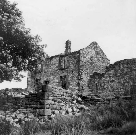
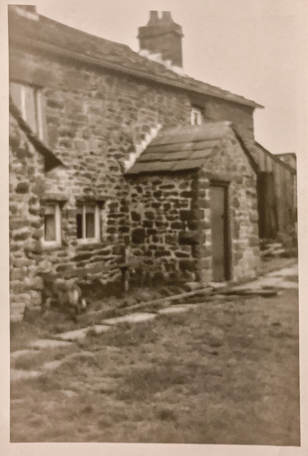
Probably around 1950, this view of Whittle's is taken from the southern side. This photo has, on another site, incorrectly been said to be the ruins of Whitehall Farm which is lower down the lane. See Now and Then for another view of this farm. Remember to place your mouse over the photograph In this view Edgegate Lane is at the far side of the building |
||||||
| copyright Lancashire County Council | ||||||
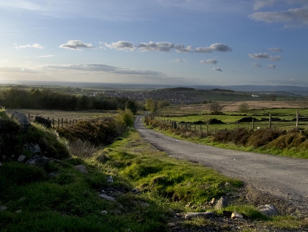
| Leaving Whittle's we now make our way to Ratten Clough and on the way we pass two objects you wouldn't expect to find in an isolated place... | ||||||
 |
||||||
| ...the remains of Second World War air raid shelter. Its the hump on the right as you walk towards Ratten Clough. A little further on is... | ||||||
 |
||||||
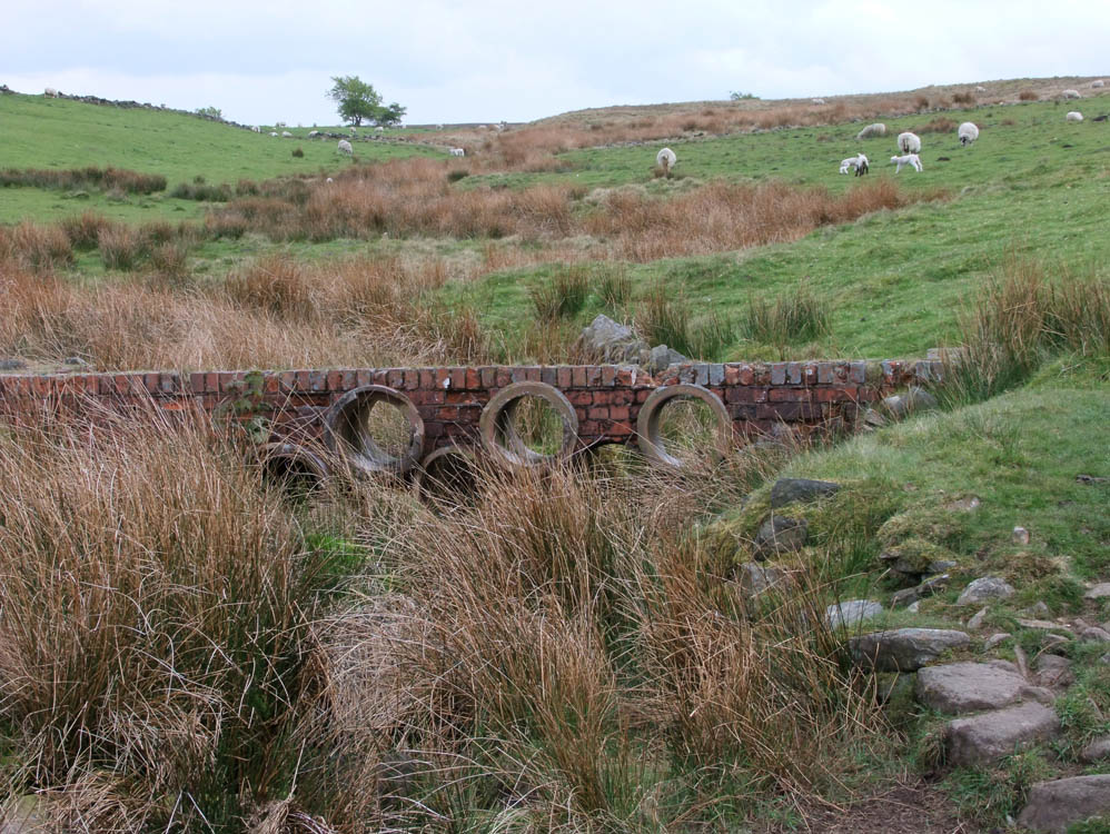
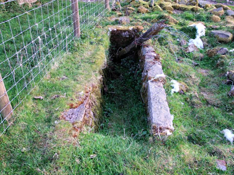
| ...this oil trap, another remnant from WW2 built across Hatch Brook | ||||||
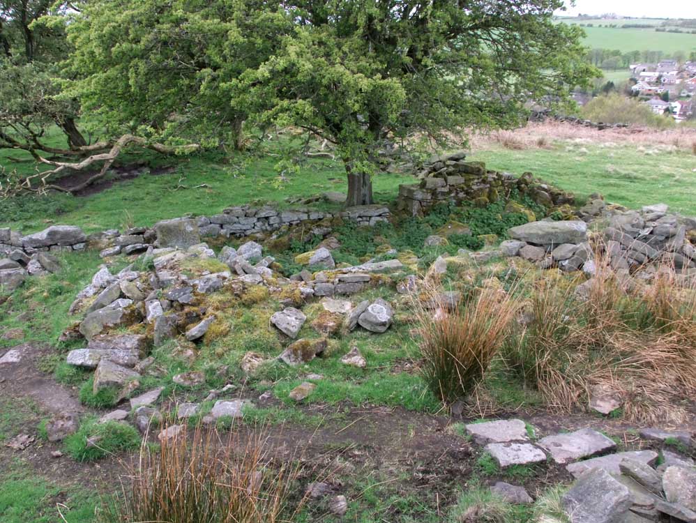
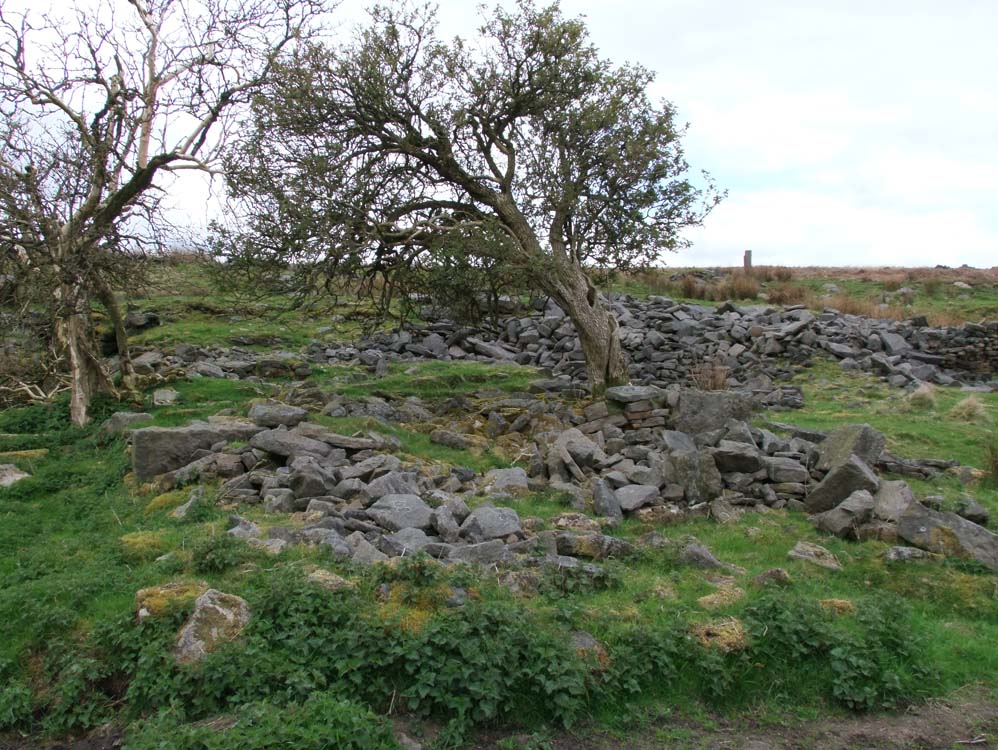
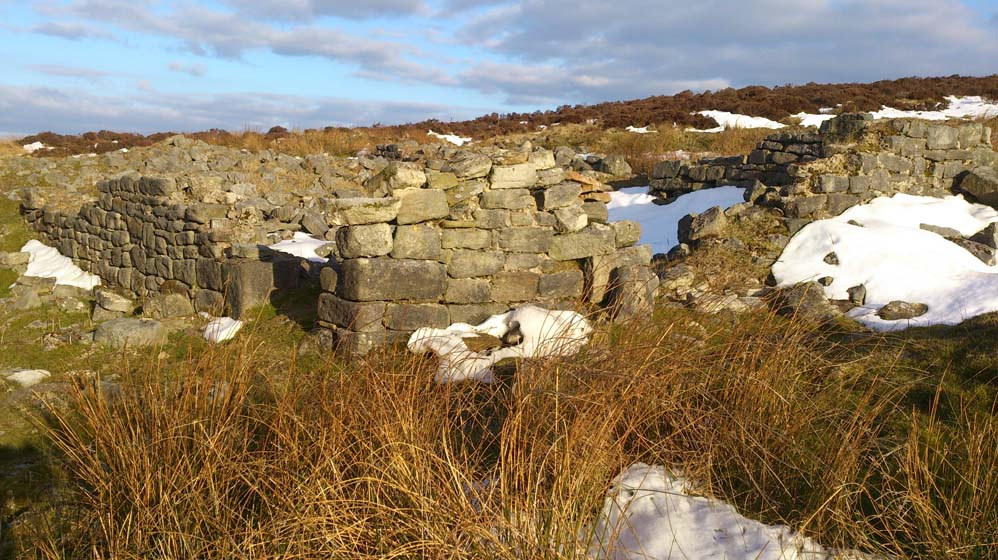
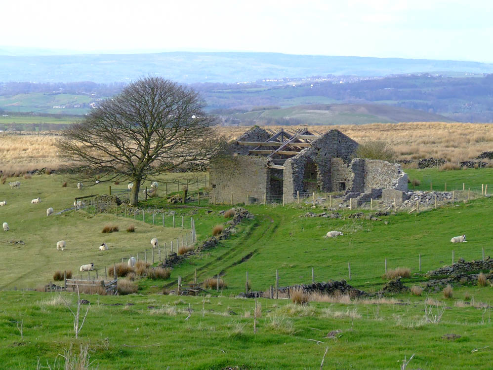
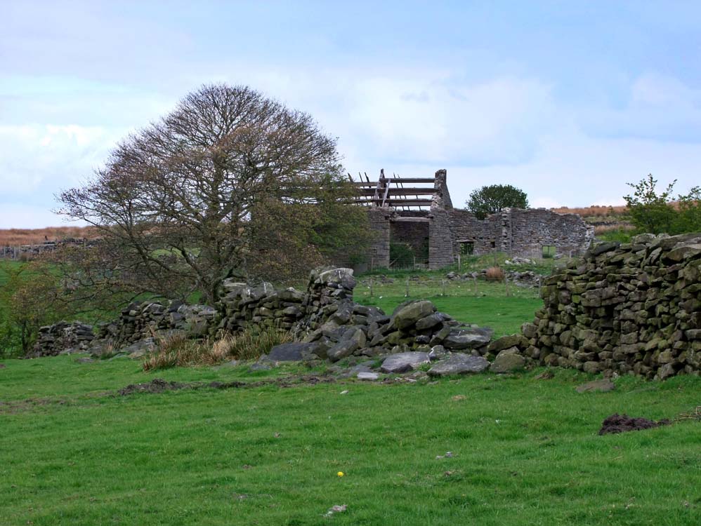
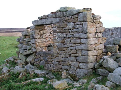
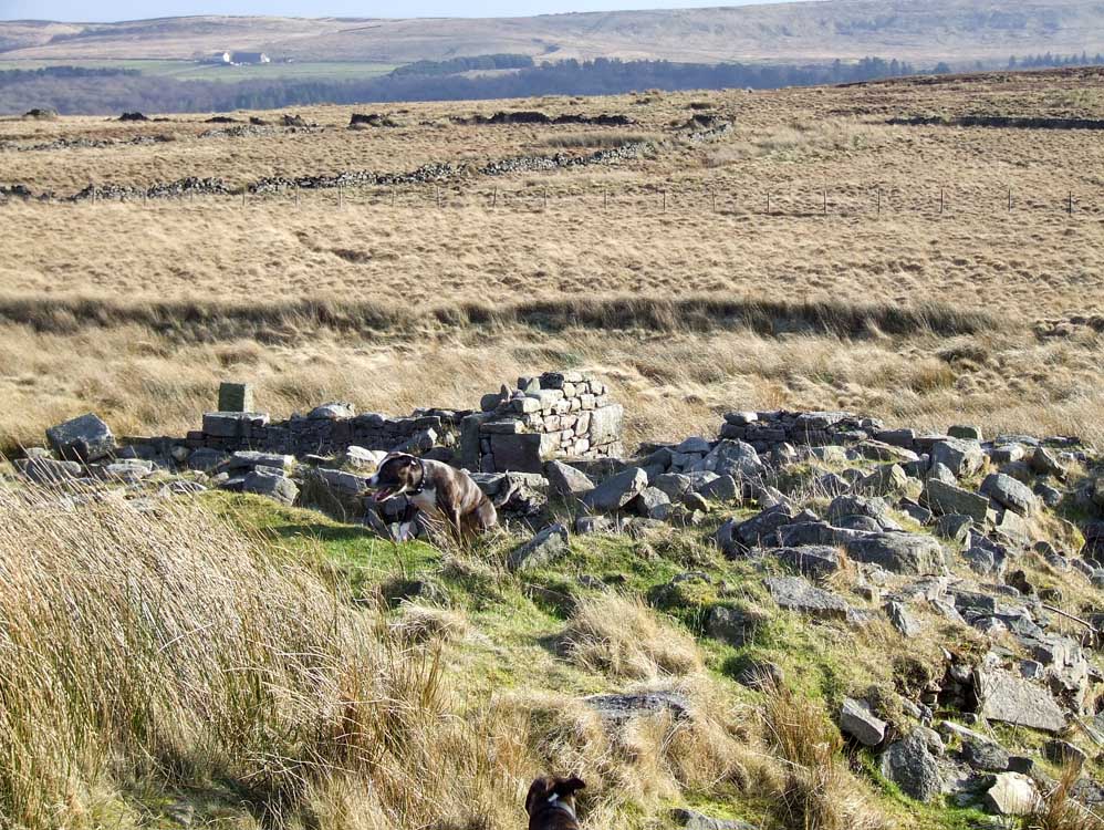
| Ratten Clough (SD633208) | ||||||
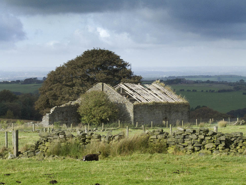
| By far the largest and best preserved of all the ruins. This may be because it was only abandoned in 1960. Most of the large building that stands today is the barn. The two cottages that were attached have more or less disappeared except for a rear wall. | ||||||
 |
||||||
| Looking west, the large structure is the barn and the cottages were to the left of the bush by the gable end. See photo below | ||
 |
||
Ratten Clough farmhouse 1960. This was the last year it was lived in. If you look at the photo below this was to the right of the large barn.
|
Photo courtesy of Debbie Blacklidge |
|
 |
||
| Looking North West, and it's plain to see were the living accommodation was. It was approximately the same length as the barn but only half the width. | ||
 |
||
 |
||
| This view is from the field behind Ripping farm | ||
 |
||
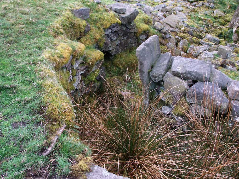
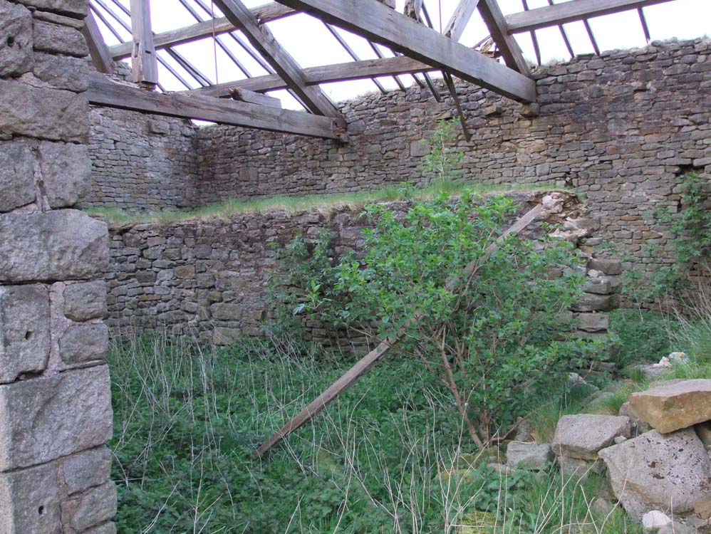
| Inside the barn, and clearly visible is the original back wall of the barn before the extension to double its size. Originally it would have had a "lean-to" shape before the extension. | ||
 |
 |
|
| A loo with a view, or at least whilst making your way to it | This is on the west side of the barn, I can only think it's a sheep dip | |
 |
 |
|
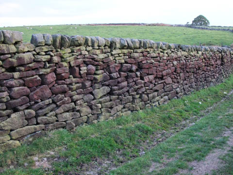
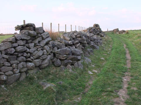
| As you leave Ratten Clough there is a small length of dry stone wall that is as it would have been in its hey day. It is in excellent condition and is at its full height, however, on the other side of the lane things are not quite the same, possibly because the original quality of the build was not as good. But leaving Ratten Clough there is time to look back at it and imagine the lovely sunsets the occupants saw. | ||
 |
||
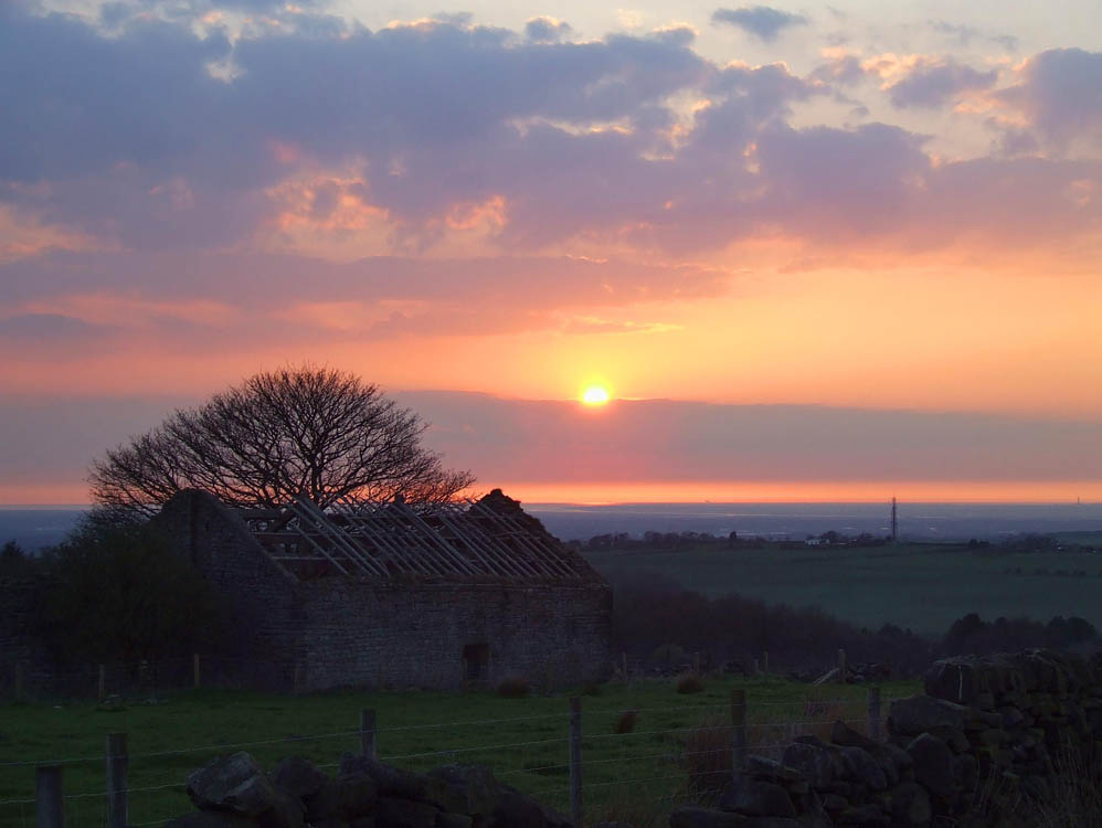
| Sunset at Ratten Clough | ||
 |
||
| Moody view showing how exposed Ratten Clough is | ||
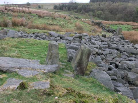
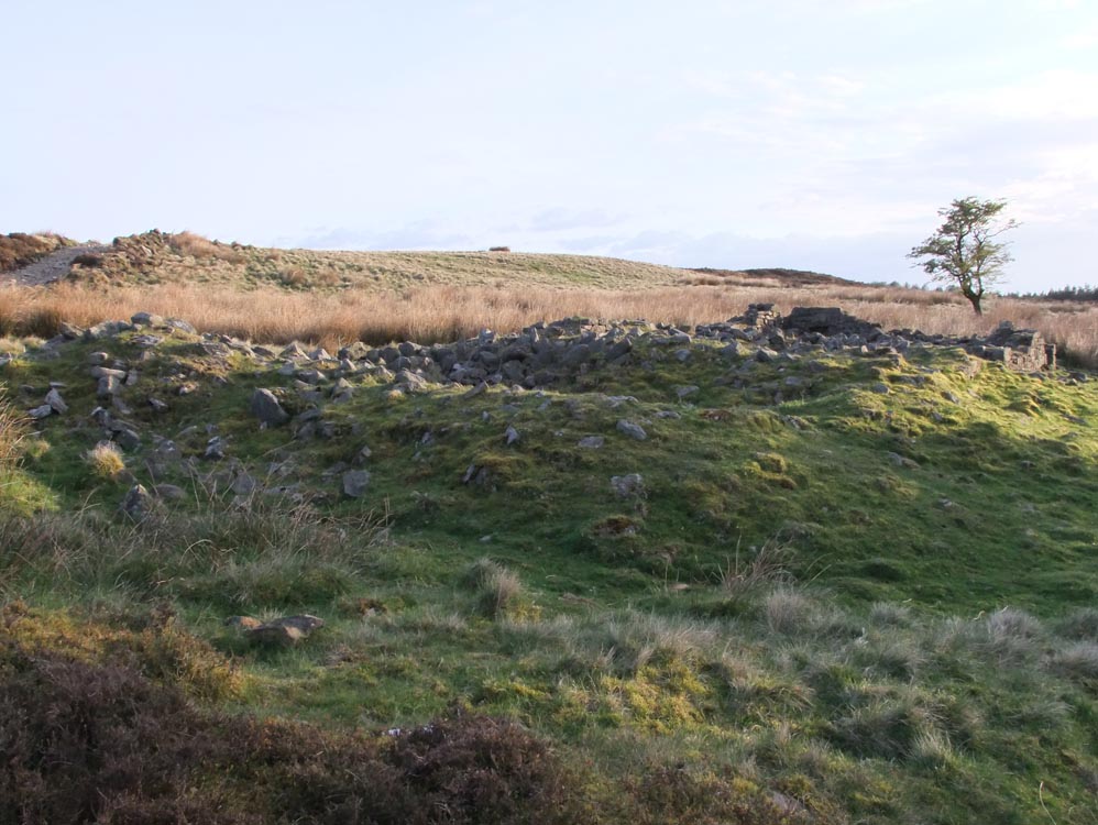
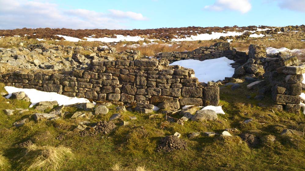
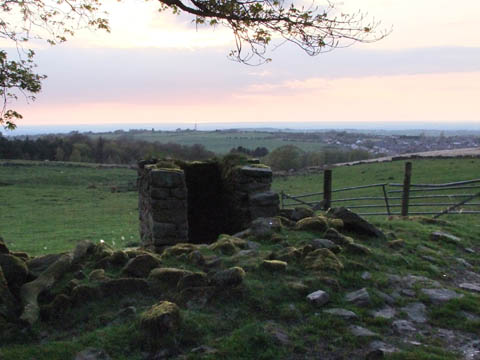
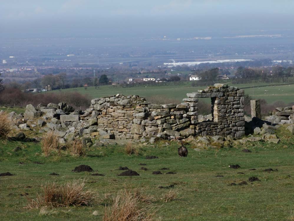
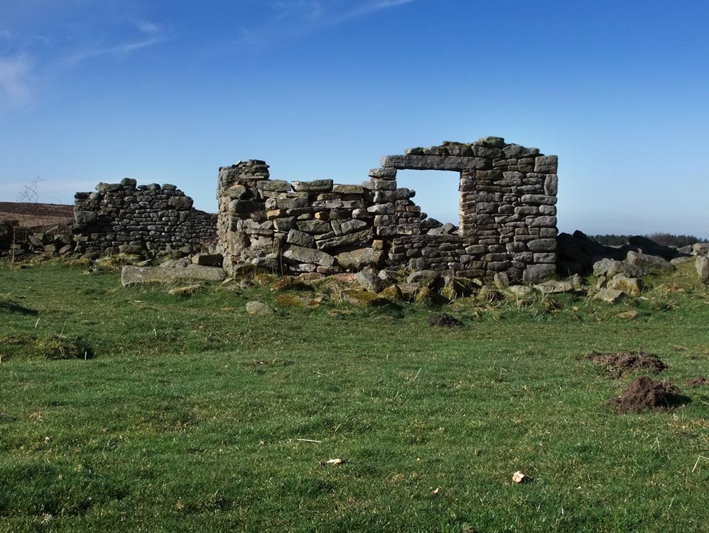
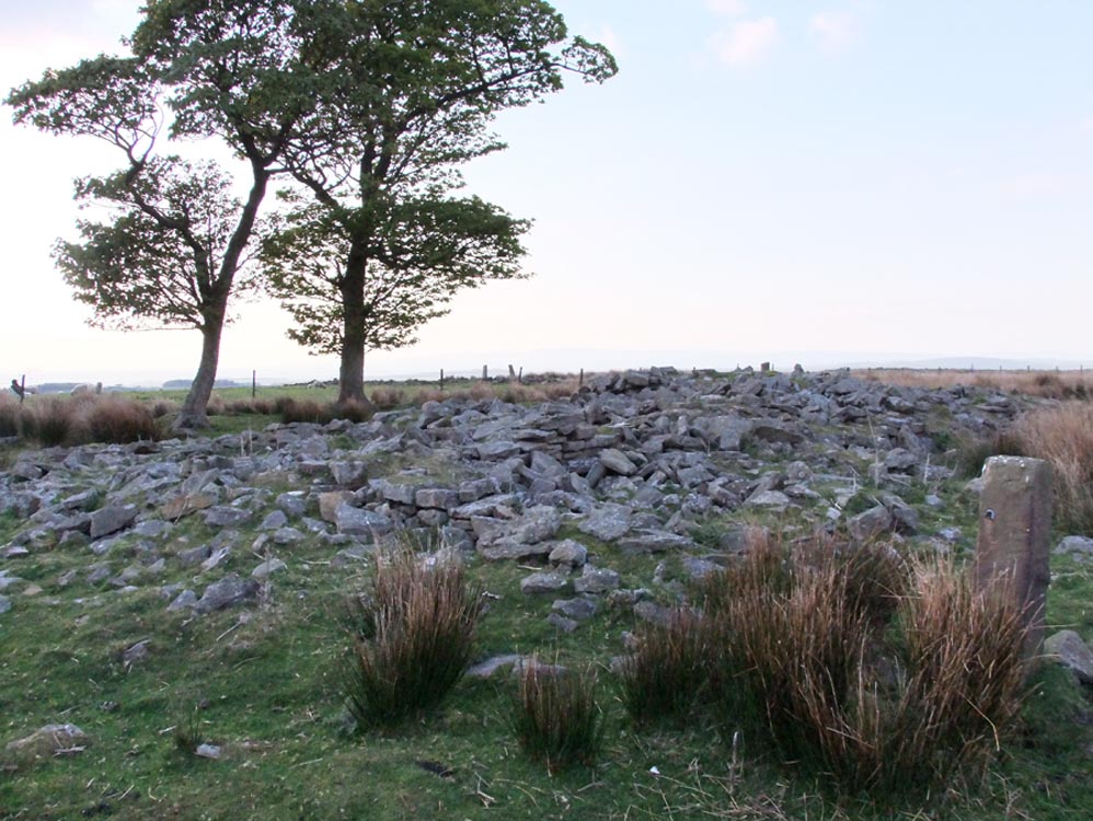
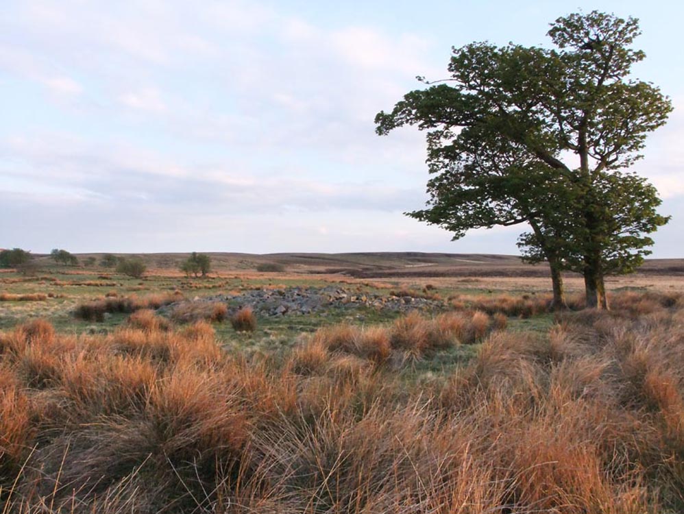
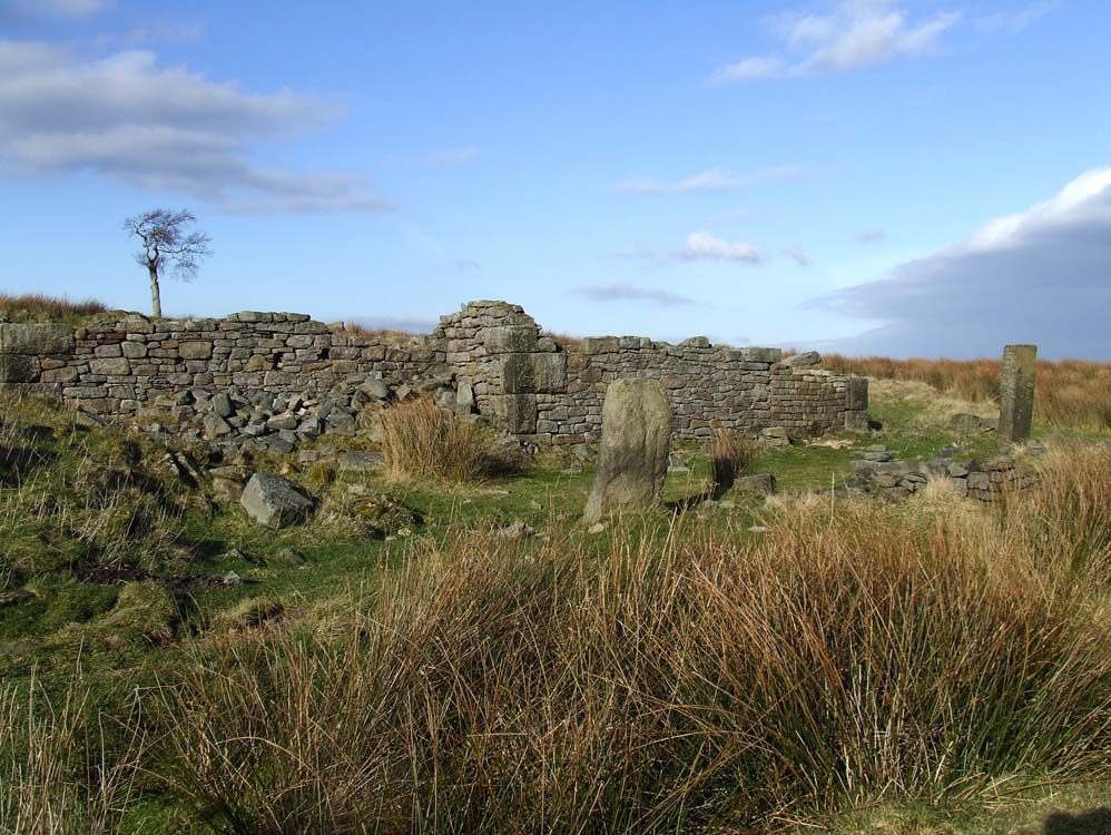
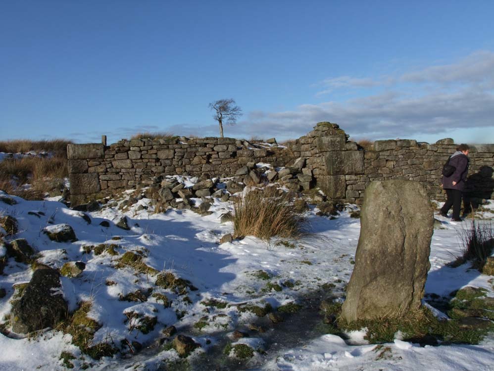
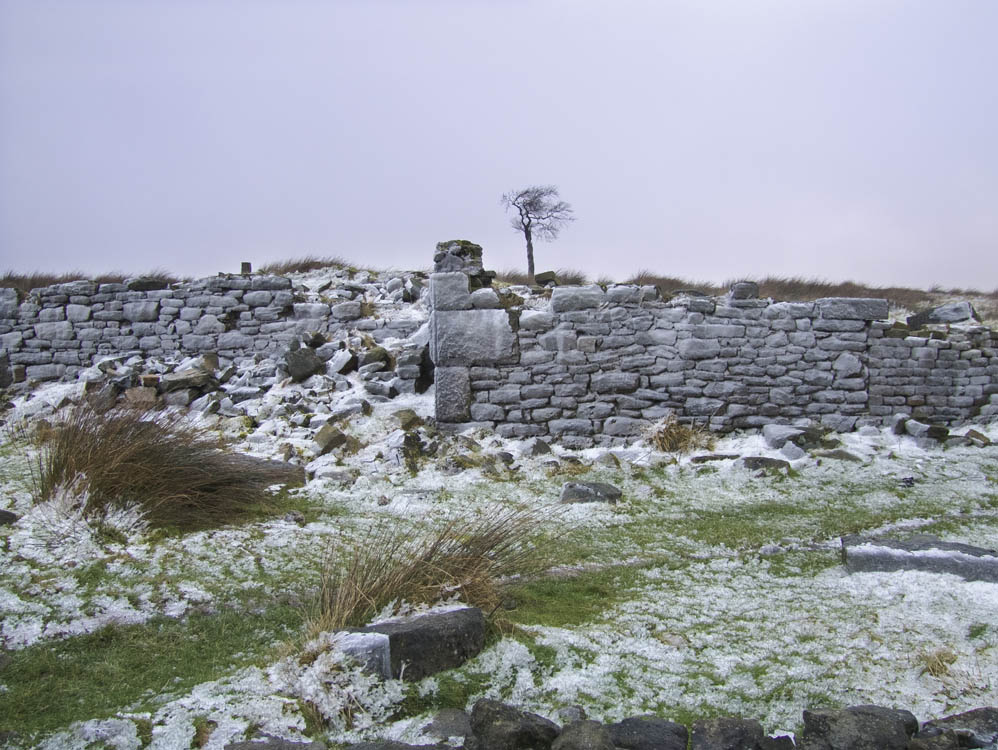
| Solomon's Temple (SD636208) | ||
| Solomon's Temple is half a mile beyond Ratten Clough. It stands on level ground and is still to this day surrounded by lush grass. Again, like the previous farms it has good views and is exposed to the west. It was a large building with extensions being added over the years. It is a favourite spot for hikers to have a snack | ||
 |
||
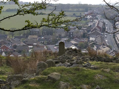
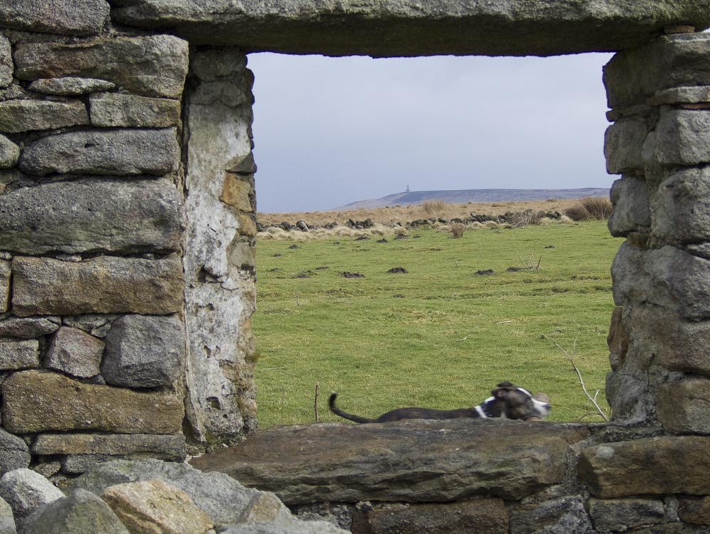
| The ruins of Solomon's Temple. Darwen Tower is on the skyline. | ||
 |
||
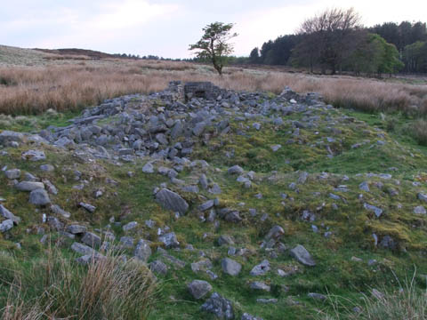
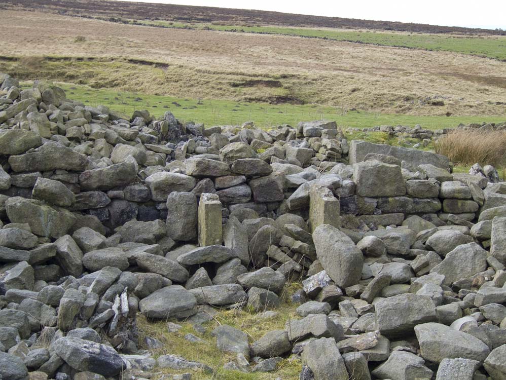
| A view things still stand - but much is simply piles of stones. However, it is easy to make out the layout of the farm. | ||
 |
||
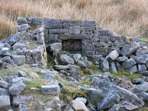
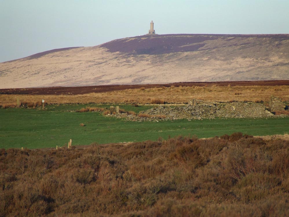
| One wall still has a window recess. What a view the occupants had. Though Darwen Tower would not always have been there. It was completed in 1898 to commemorate Queen Victoria's diamond jubilee. | ||
 |
||
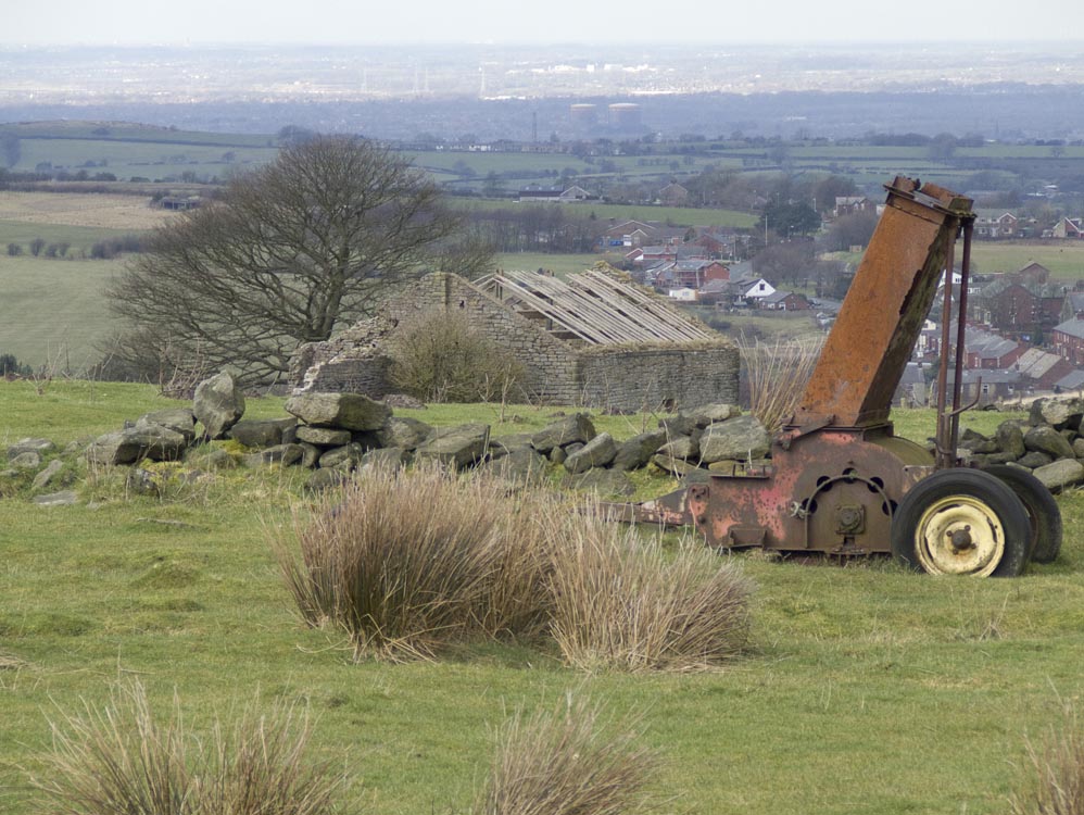
| The view to Ratten Clough. The muck spreader has not moved for years | ||
 |
||
| Looking west. | ||
 |
||
| This is the older section of the farm | ||
 |
 |
|
| The additions have much neater corner stones than the older section - as can be seen in these two photographs | ||
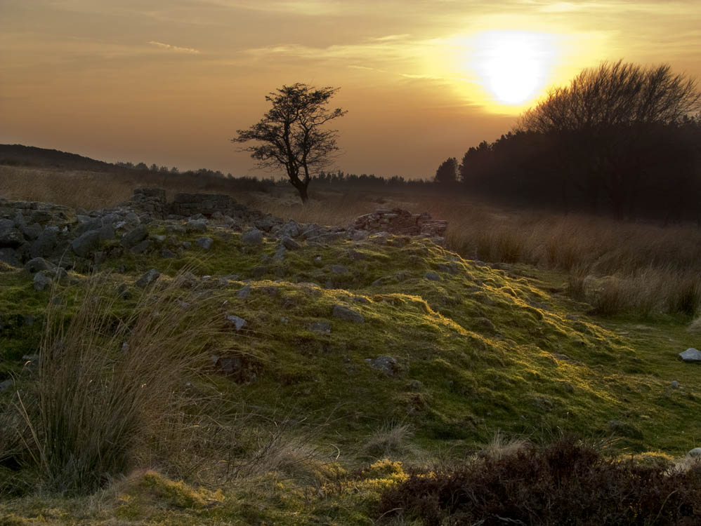
 |
||
| Sunset at Solomon's Temple | ||
 |
||
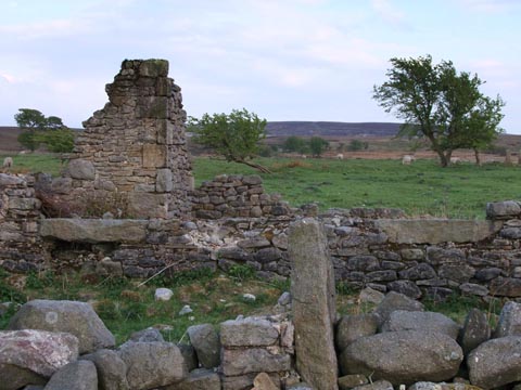
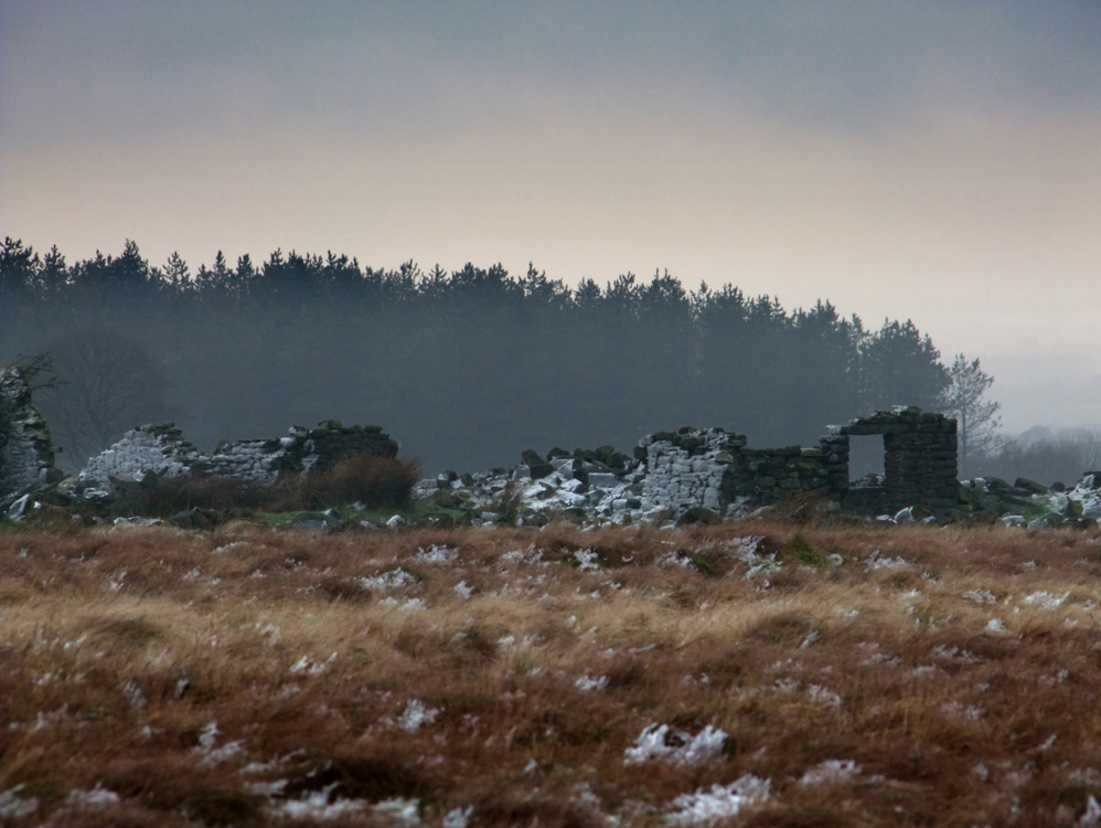
| New Temple (SD637204) | ||
| Is the furthest east of the farms in this section. Nothing much remains apart from the usual pile of stones. New Temple is possibly the least known of the farms in the Central area, for although a path does pass it on its way to Great Hill, it is seldom used. Its location can be seen from Solomon's by the usual sycamore trees that stand guard over most of the farms | ||
 |
||
| New Temple is located by the trees. | ||
 |
||
| Quite isolated, the winters must have seemed long and been cold | ||
 |
||
| The ruins of New Temple, taken from the garden area | ||
 |
||
| New Temple was a traditional long house. It doesn't appear to have had any extensions added. | ||
 |
||
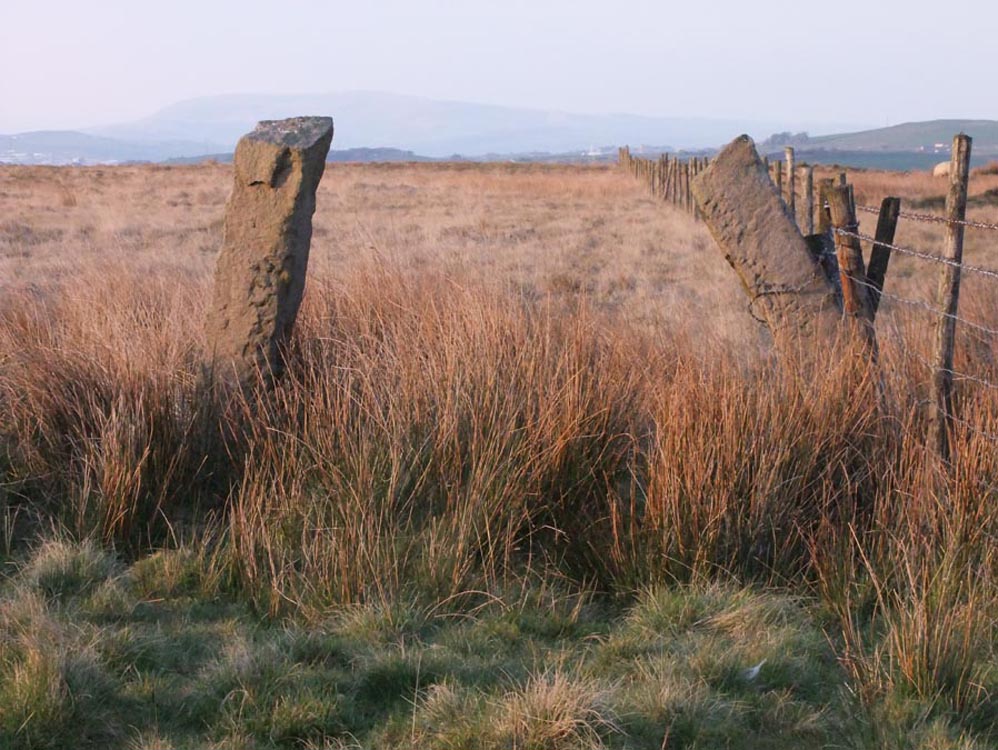
| Leaning to each other, it's a long time since any farm traffic went through these gateposts. | ||
 |
||
| Posts, but no walls | ||
 |
||
 |
||
| New Temple sycamores | ||
| Botany Bay (aka The Summer House) (SD640210) | ||
| Botany Bay is some distance from the other farms in this group. From New Temple it is three quarters of a mile in a northerly direction. It is somewhat sheltered as it lies in a natural dip of the moors. Botany Bay was another large farm. Some of its walls still remain. It is easy to locate the farm - simply look for its withered tree. The only one for miles around. Every year it battles on and just survives the harsh winter weather. Nearby a bridge made from two old gateposts crosses Rushy Brook. It seems to have acquired its "Summer House" tag from parties and Grouse shoots in the summer months. The first two photos seem to bear that out | ||
 |
||
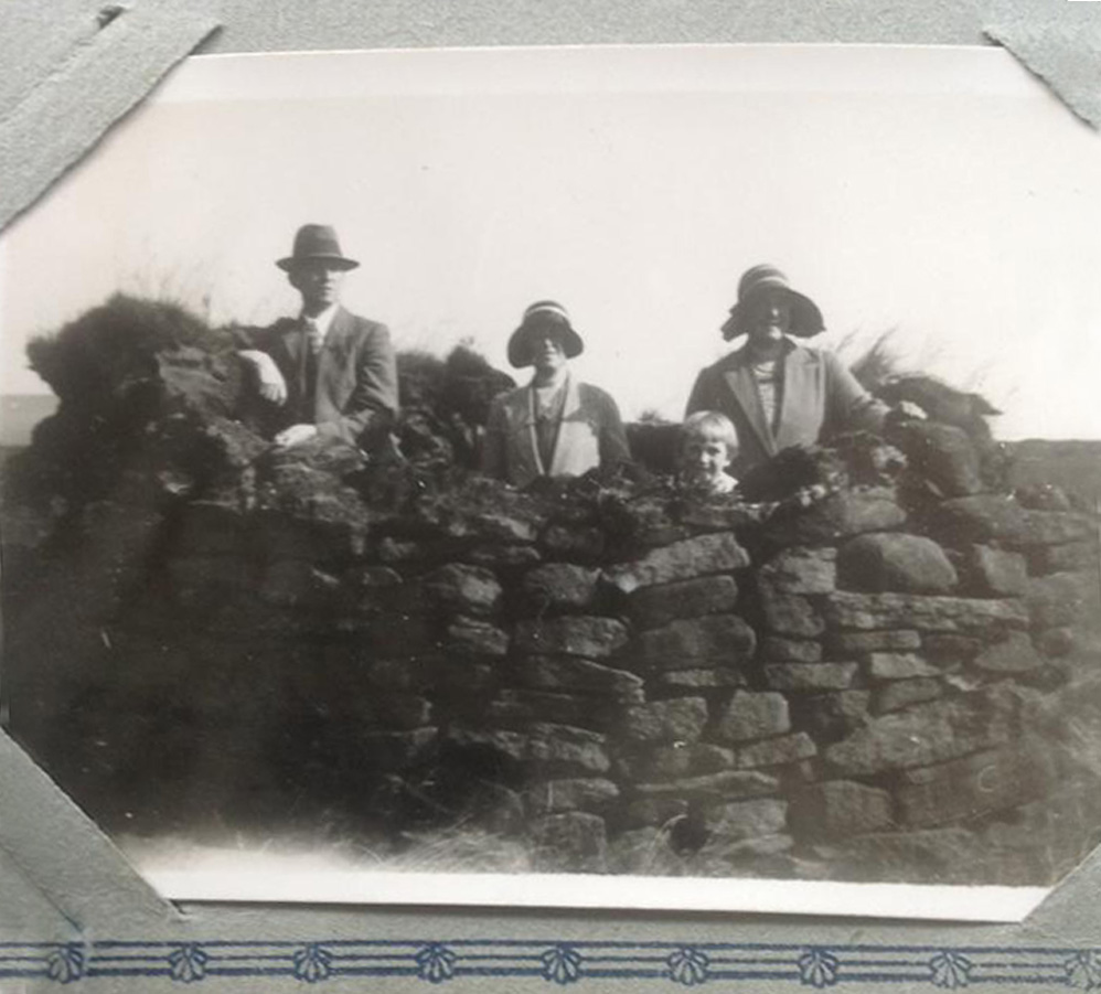
| © Janet Woods Thanks to Janet Woods for permission to use this photograph showing a family snapshot - possibly members of the Ashmore Family at Botany Bay in the late 1920s. This photo is taken at the back of the farm ie from the direction of the tree | ||
 |
||
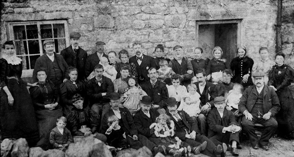
| The Robinson family with friends and neighbours, outside Botany Bay farm. The child, bottom left, is believed to be Richard Robinson. c1890s | ||
 |
||
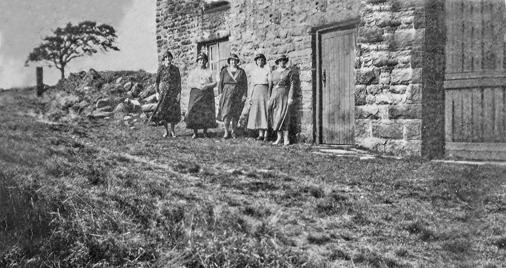
| Unknown group of ladies c1920s 30s outside Botany Bay (Summer House). The beech tree is in the background. | ||
 |
||
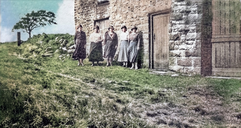
| Colourised | ||
 |
||
| Originally Botany Bay Farm. However, by the 1920s it was known as the Summer House, a base for grouse-shooting parties in the 1920s and 30s. Some grouse butts near the farm still survive today | ||
 |
||
| © Janet Woods Thanks to Janet Woods for permission to use this photograph showing members of her family in one of the shooting butts near Botany Bay in the 1920s. L - R Edward Ashmore, Hannah Ashmore, the little girl is thought to be Doris Ashmore who married Gerald Kavanagh, but she died in her twenties. The lady on the right is thought to be a Dixon who ran a grocers shop on the corner of North East Ave, Withnell. | ||
.jpg) |
||
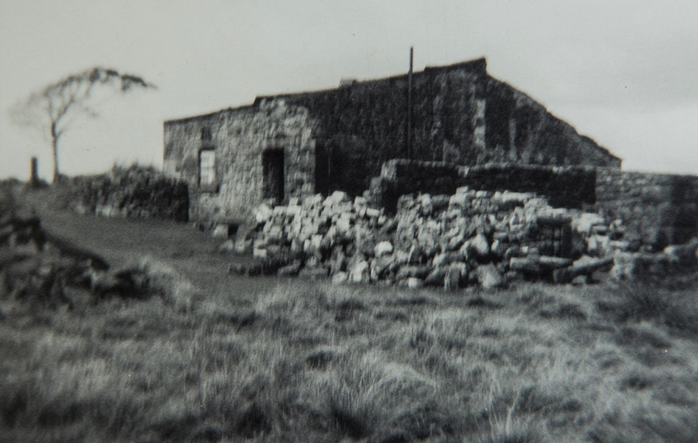
| A pre WW2 photo taken at Botany Bay Farm. | ||
 |
||
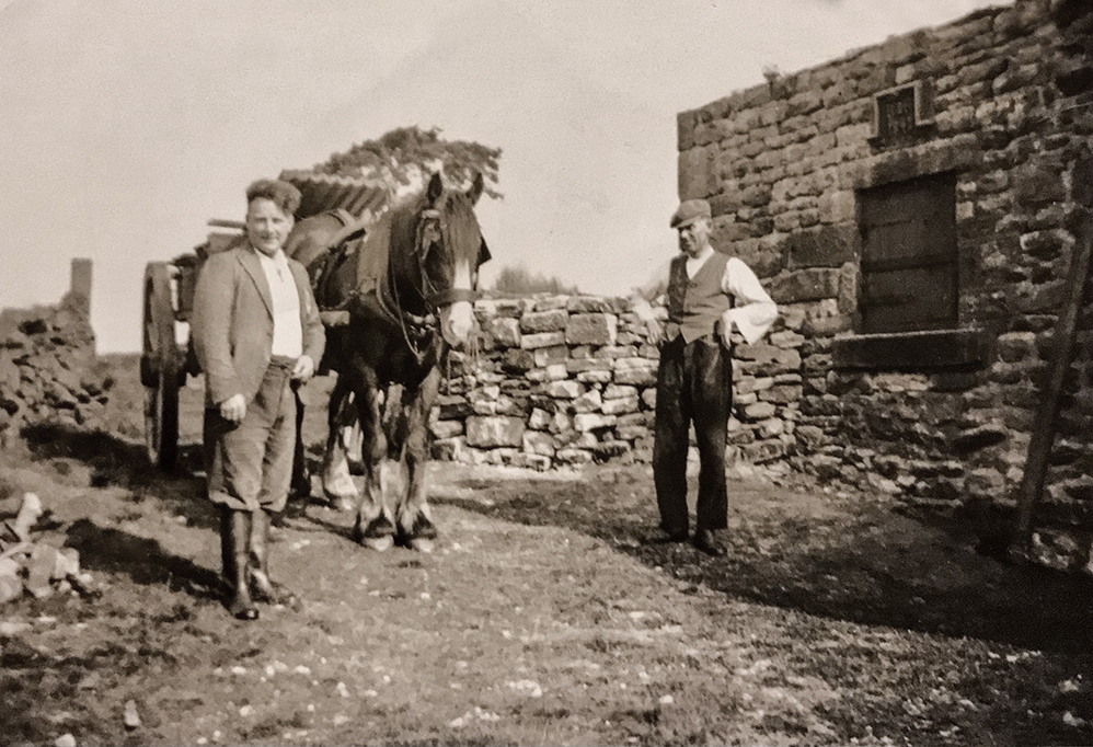
| Late 1930s or 1940s - here James (Jimmy) Bennett (left) was working for Liverpool Corporaton maintaining buildings and stone walls. By this time Botany Bay had been reduced to a single story building. The date stone above the window is dated 1843 | Photo courtesy of Diane Blacklidge |
|
 |
||
| The long track up to The Summer House, which is just over the skyline | ||
 |
||
| The old beech tree at Botany Bay | ||
 |
||
| Botany Bay ruins when approached from Withnell |
 |
| The best view, with tree, gateposts and walls. |
 |
| Close up |
 |
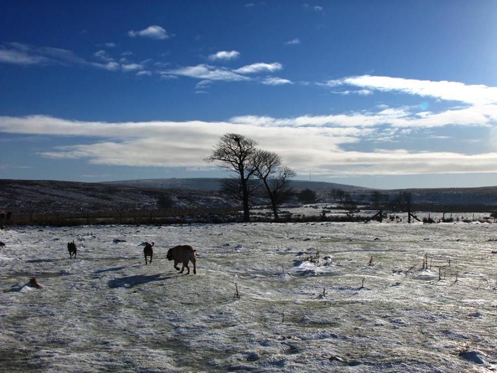
| A hard frost, just shows how cold it can be here |
 |
| Another view showing the excellent stonework |
 |
| The farm's gateposts and tree. The track to the farm from Withnell is still in a good state of repair and is used regularly by walkers. |
| There was another farm in this group, Richmond's. No sign whatsoever, remains of this as it disappeared along with 150 feet of the ground below it as the quarry expanded outwards and downwards. |