|
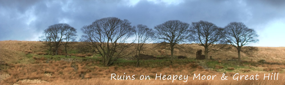
| Ruins Homepage | ||||
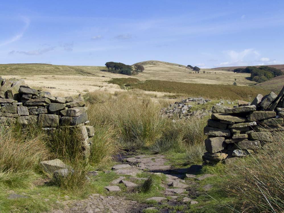
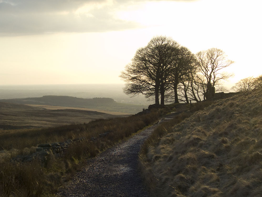
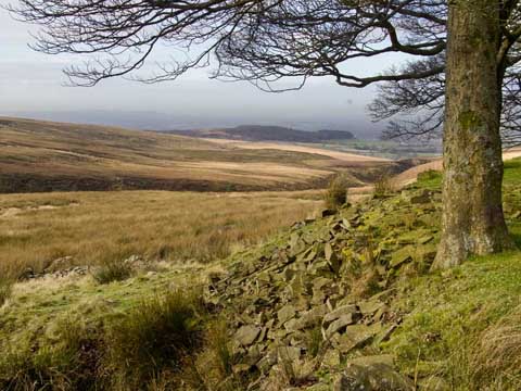
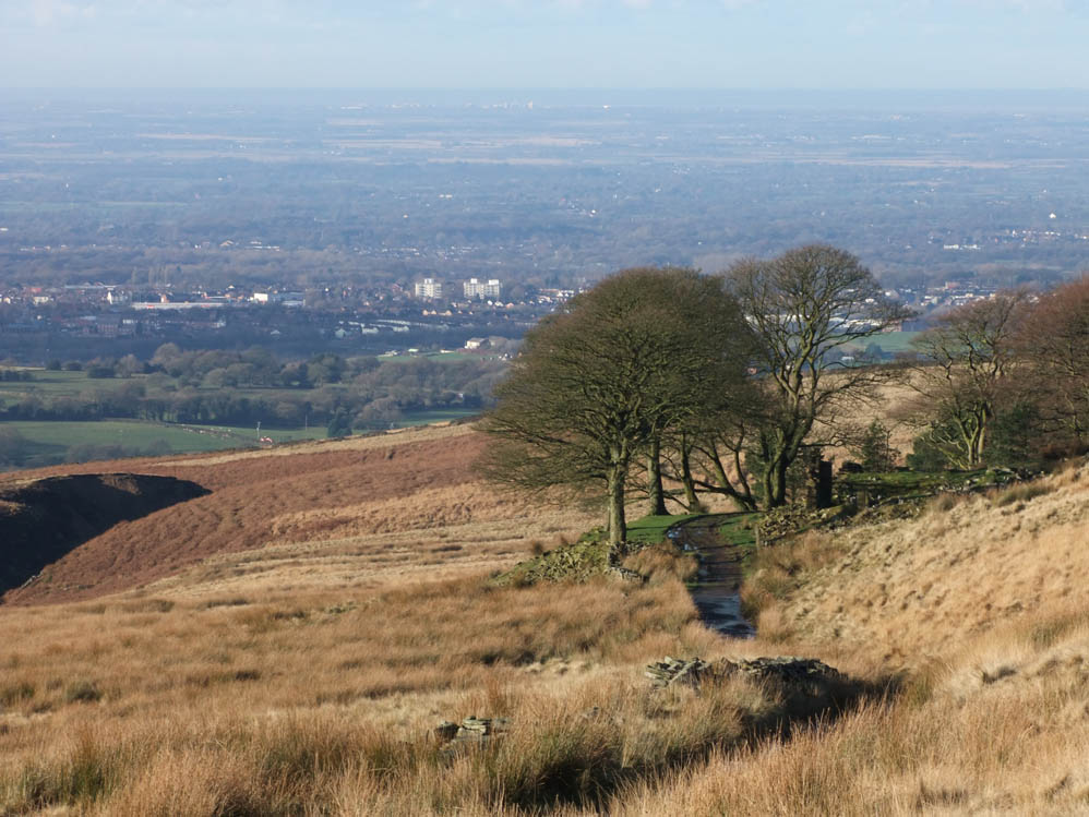
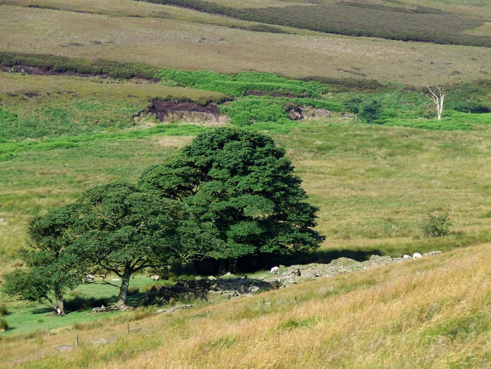
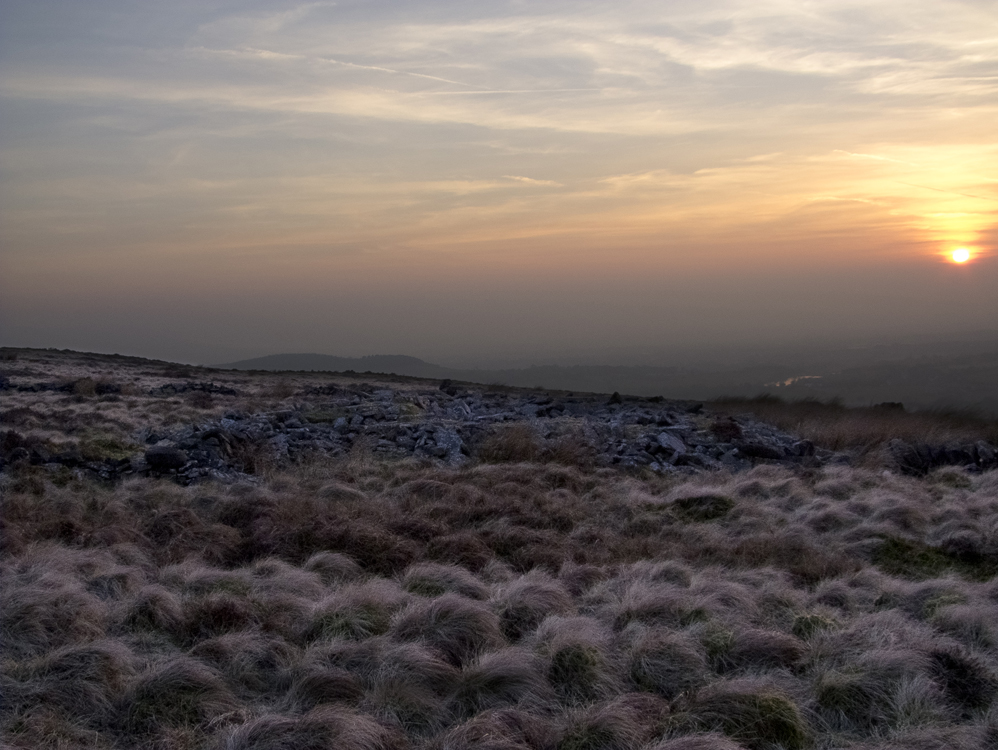
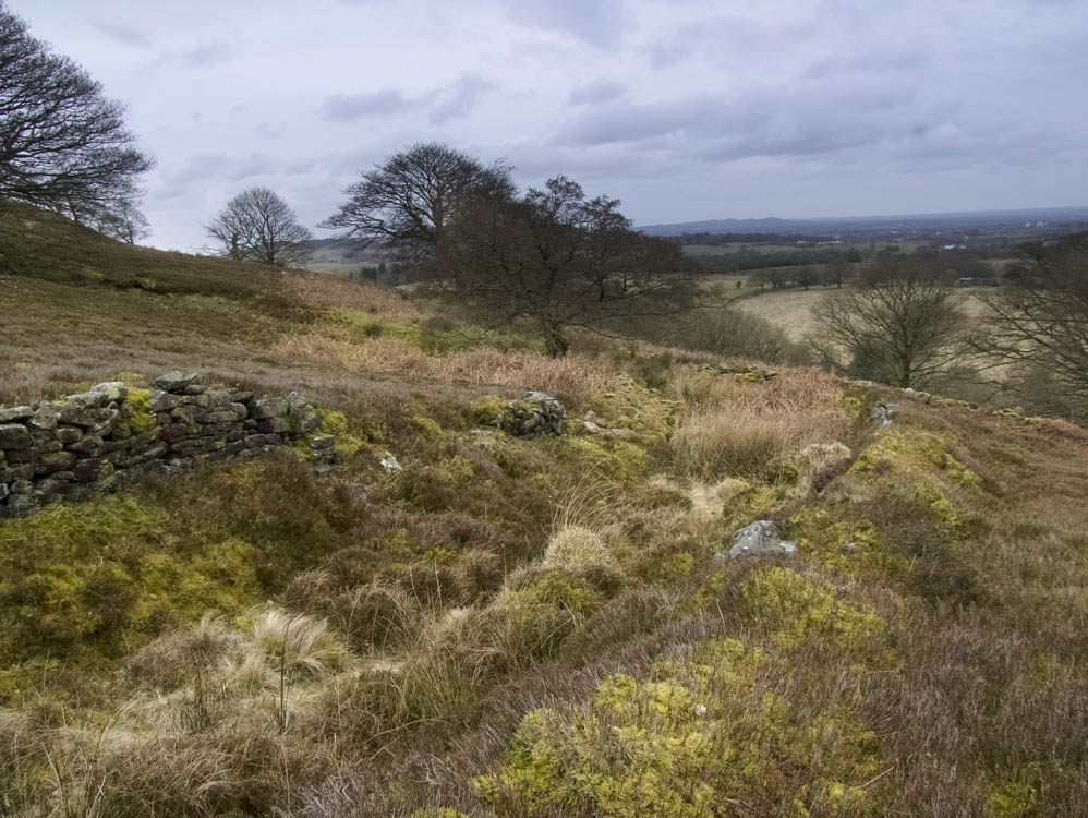
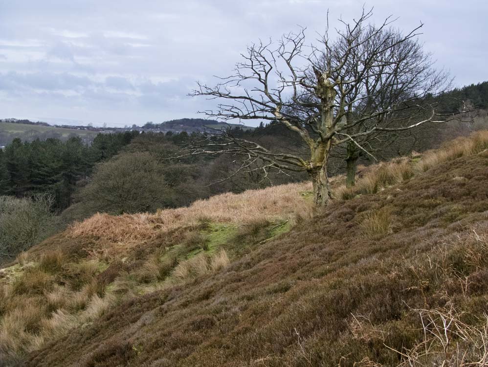
| There are nine farms in this area, which contains the highest and lowest farms in all the groups, namely Great Hill Farm and Sharrock's respectively. The area covered is probably the most scenic of all the groups, and I would say, possibly the most exposed to the elements. It also contains the ruin I would most liked to have lived at - Fir Farm. Built on the hillside, it is remote but has a vista no other farm can match. The land drops away beneath it to the Goit way below. It is a stunning location. It also has the most difficult farms to access. Enjoy this exhilarating walk!! |  |
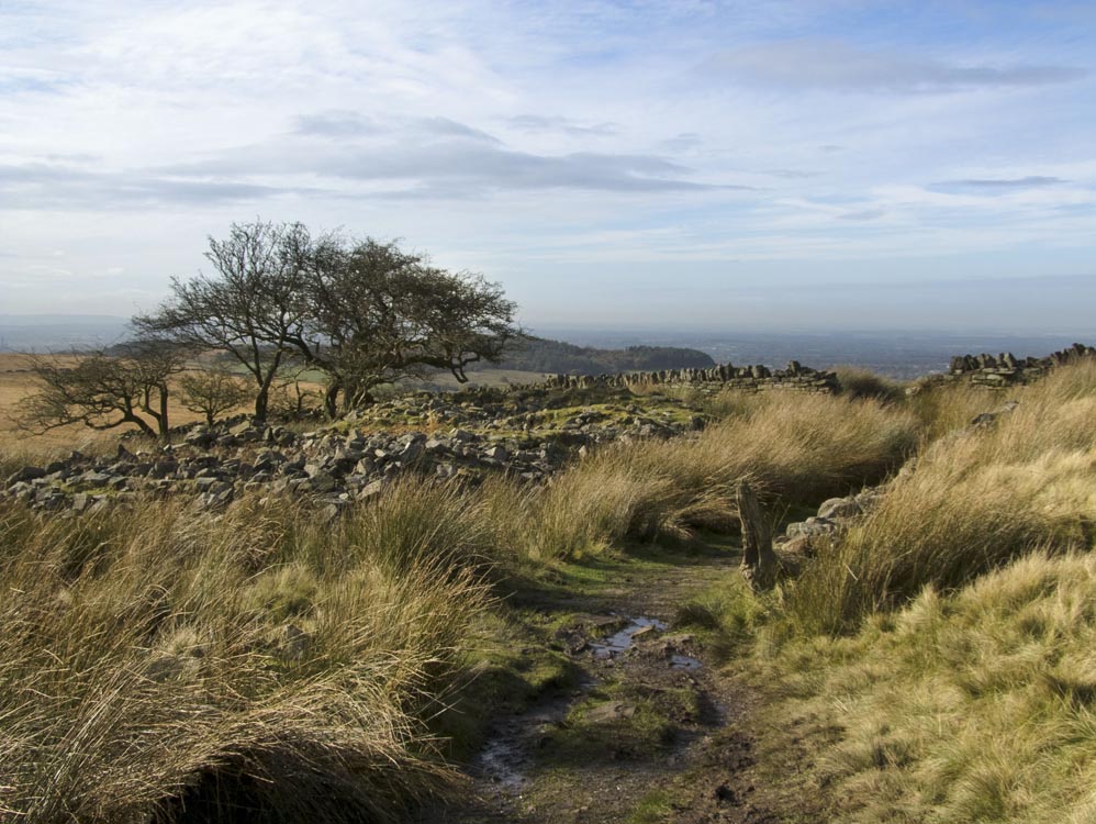
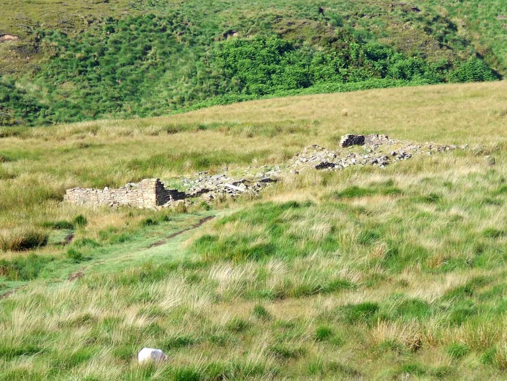
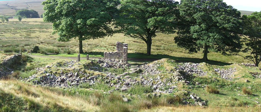
| Coppice Stile (SD627191) | |
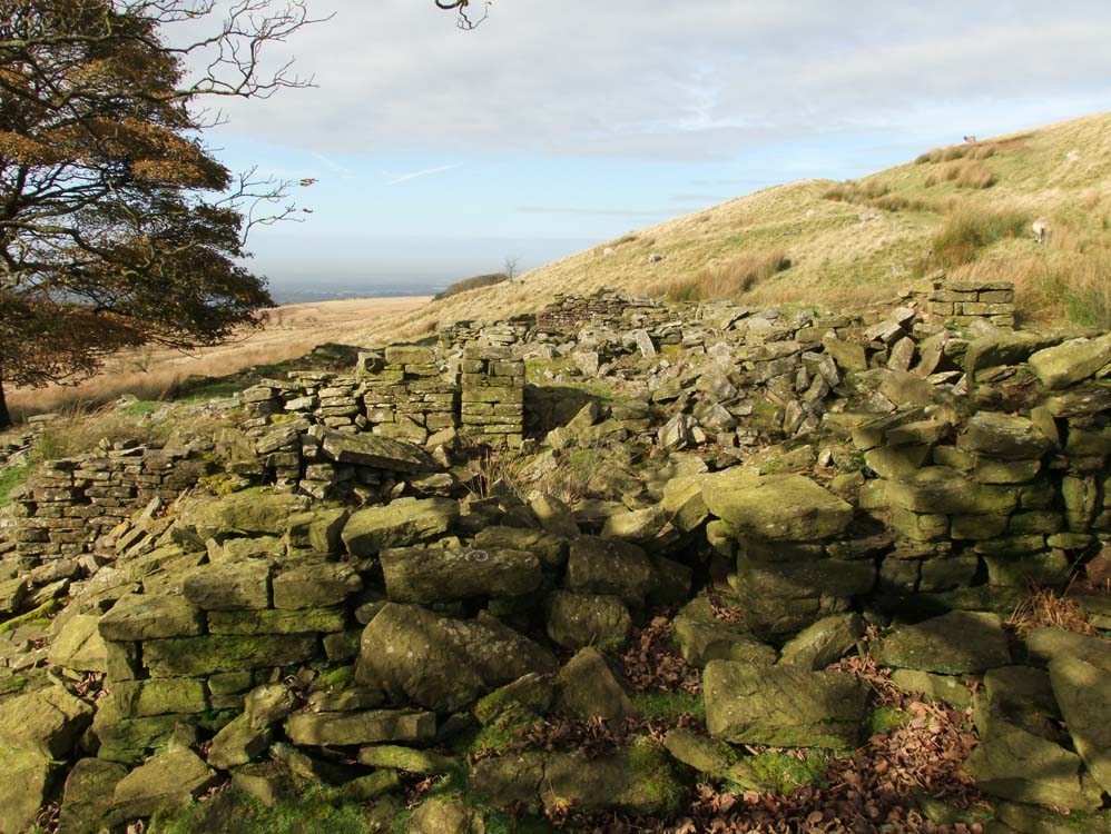
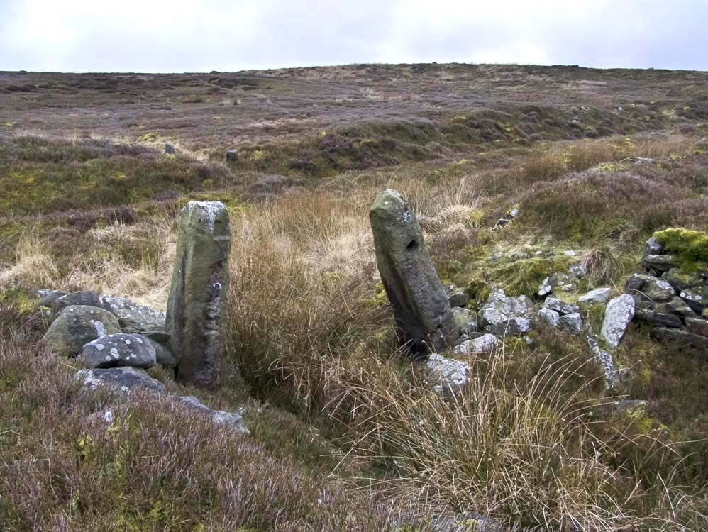
| After a short climb from White Coppice, Coppice Stile Farm waits to greet you as you approach a stone wall crossing your path. It has greeted people for centuries and at one point in its life it was a pub as well as a farm. Coppice Stile was a small farm and the building was around 54ft long which included a living area of 20ft by 20 ft, with a bedroom above with the same dimensions. It only had three fields totalling 5 acres |
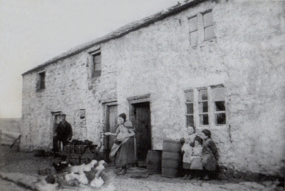 |
| Coppice Stile Farm around 1890. Three girls watch their Mum feed the geese and their father has just arrived with a barrow full of peat. |
 |
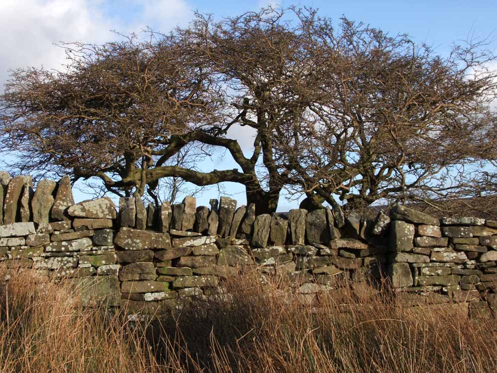
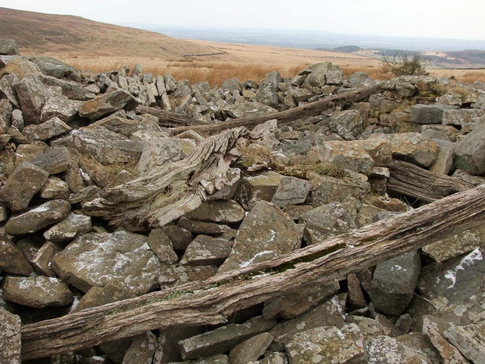
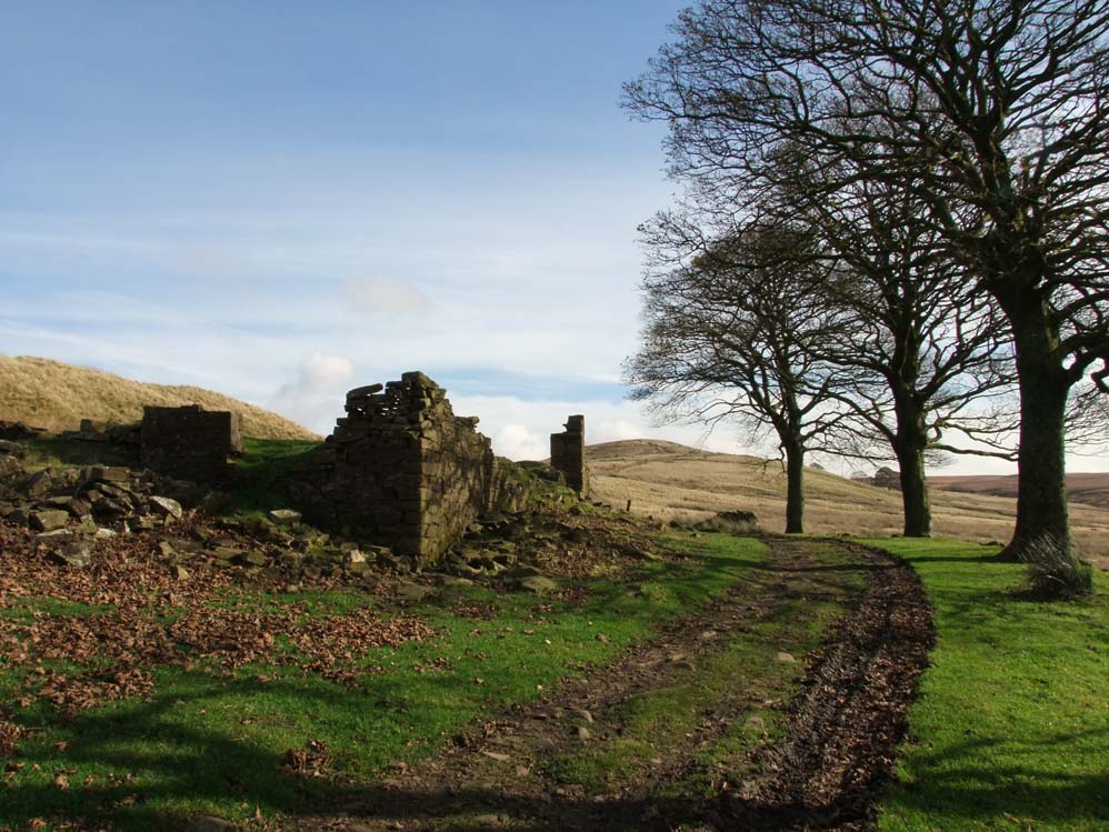
| The ruins of Coppice Stile. The main track to other farms passes to the left. |
 |
| Looking west, Coppice Stile had views to the coast. |
 |
| Coppice Stile in ruins |
 |
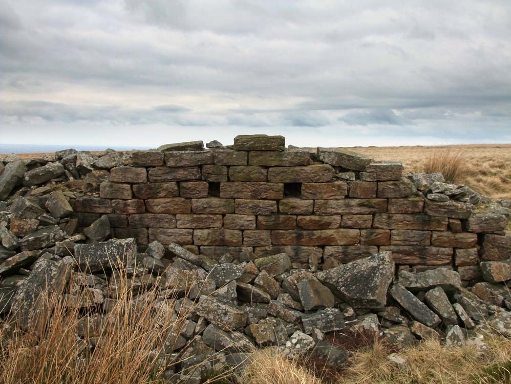
| Note the bricked up access point. This was originally the access point to the rear of the farm, with the main route passing the other side of the farm. |
 |
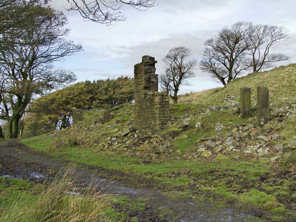
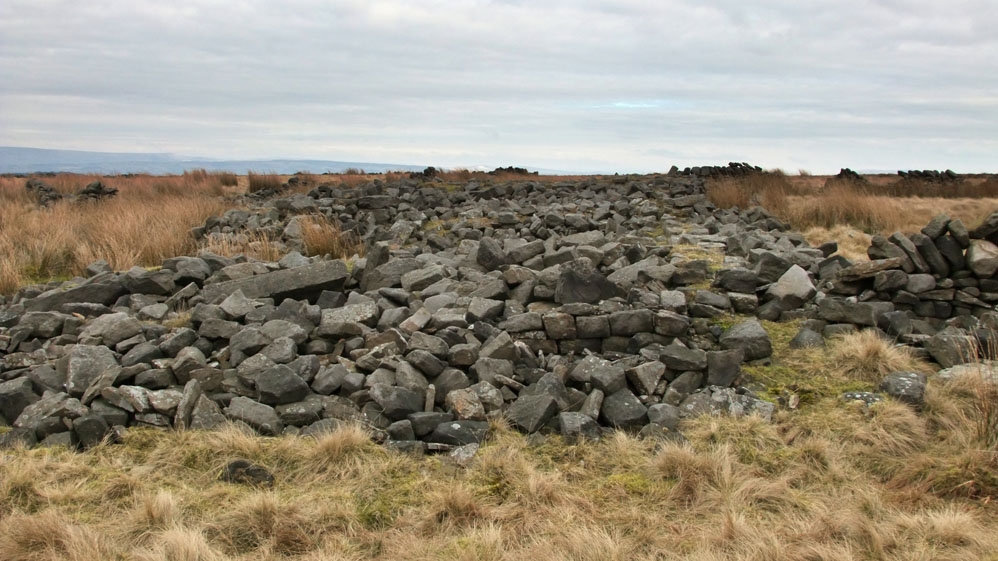
| Heapey Moor Farm (SD630192) |
| Off the beaten track, but reasonably close and easy to reach,Heapey Moor Farm is a substantial ruin. |
 |
| A lovely location with views to Healey Nab, Chorley and the Lancashire plain. However very open to winds from the west. |
 |
||||
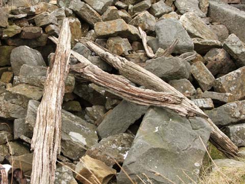
| There is quite a lot to explore at Heapey Moor. These are the old original roof timbers | ||||
 |
||
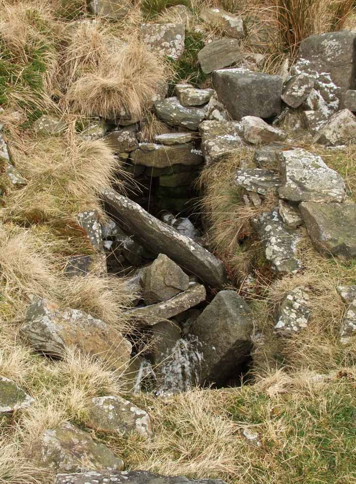
| Close to the farm is the well. No water in it nowadays it is still in good condition | ||
 |
 |
|
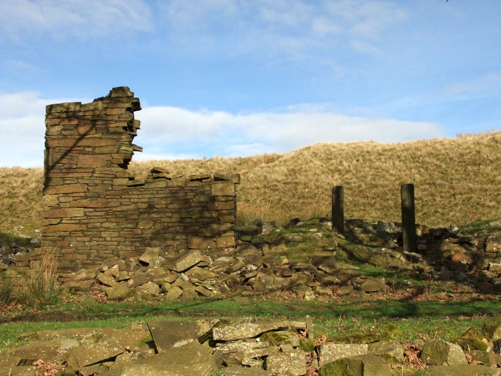
| Substantial amounts of rubble .... | ....and also some good well constructed walls remain. |
 |
| Plenty of roof timbers adorn the rubble |
 |
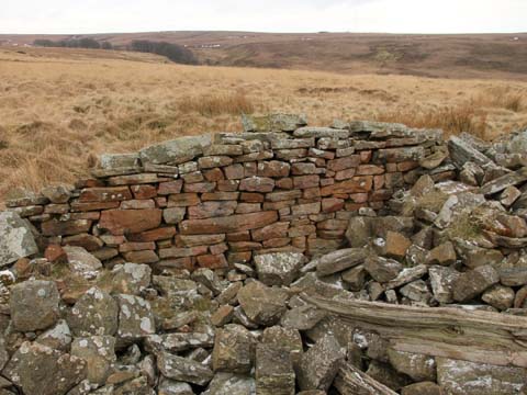
| The eastern gable end showing good stonework. |
 |
| Here's a view of the long house - the middle wall seems of different construction to the other walls. |
 |
| This outbuilding is the toilet block |
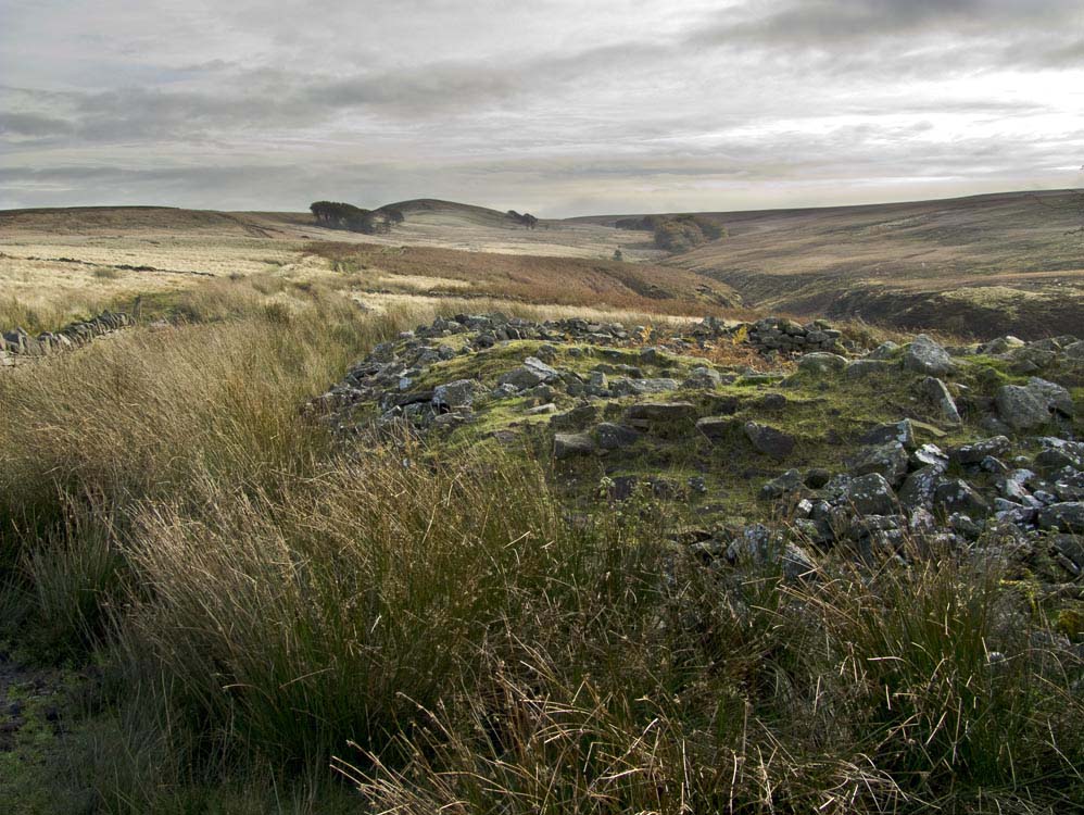
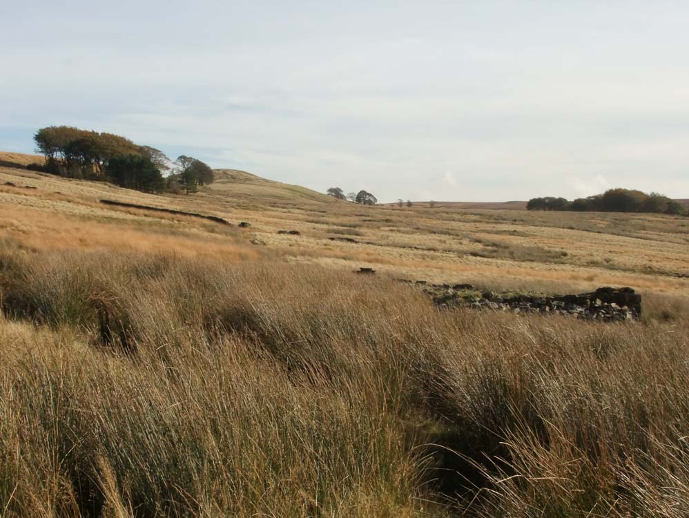
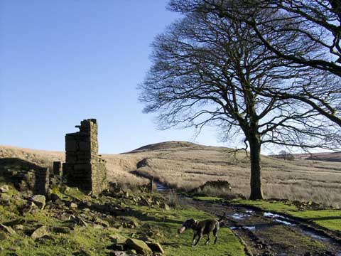
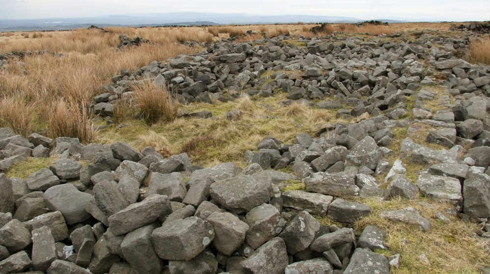
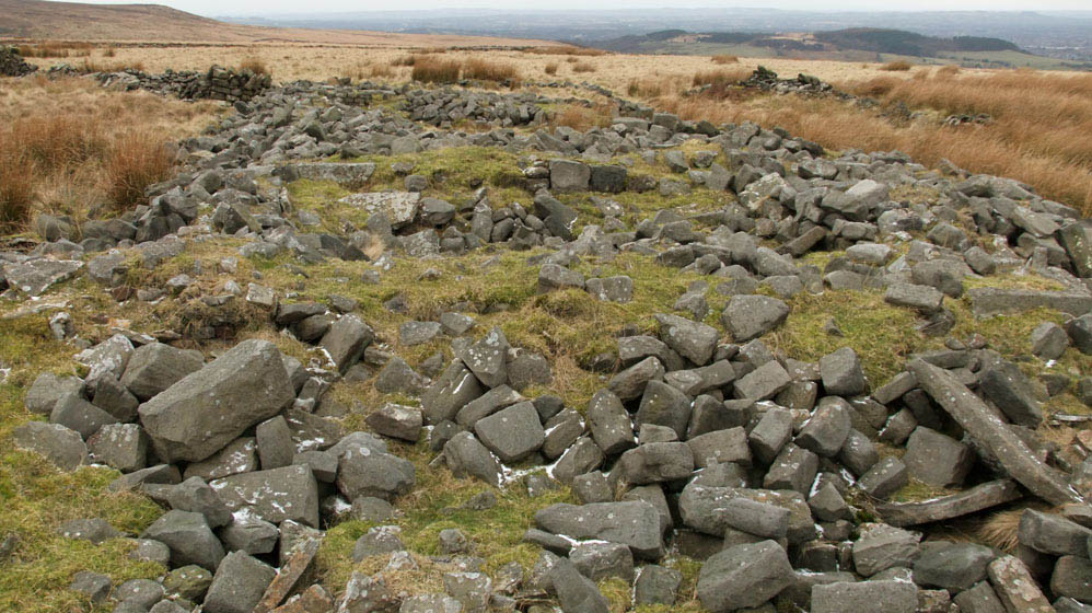
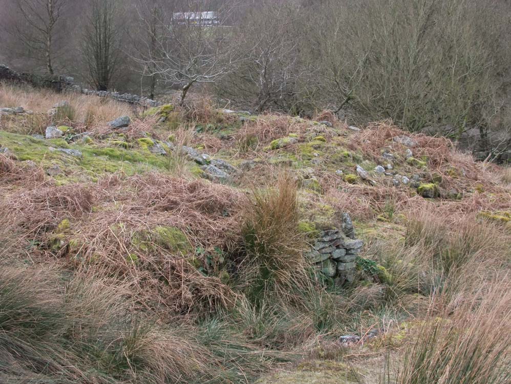
| Grime's (SD632191) |
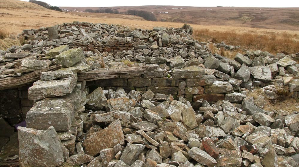
| Grime's is another ruin that offers quite a bit to see and it is easy to locate as it is very close to the path to Great Hill. It was of a similar size and design to Heapey Moor Farm. However, little is known of this farm and it was probably one of the first to be abandoned. |
 |
| Taken from the path to Brinscall, this shot shows just how close to the path the farm is, and its size - a typical long house |
 |
| Approaching it from White Coppice, this photo shows Grime's in the foreground, then the humps of the mines, then Drinkwater's in the trees, and finally Great Hill. Grime's was as sheltered as it is possible, high on a moor like this. |
 |
| Some walls remain. The stonework is different to that of Heapey Moor Farm, whose stones appear to be more uniform. Along with the hole and slot gatepost, it would suggest that Grimes is the older of the two farms. |
 |
The view looking south west, again hills give some shelter
|
 |
| Grime's |
| Drinkwater's (SD636191) |
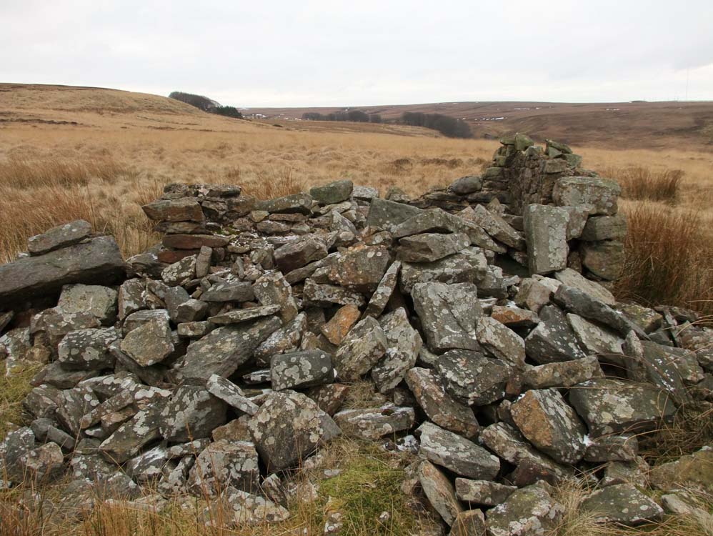
| A large and well constructed farm, with a cottage added later. It was inhabited in the 1930s by the Mayor family who later lived at Ratten Clough, and was still being used for large scale sheep shearing. Reports say that it was used as target practice by the military during WW2, and many small craters behind the ruin on the land to the north suggest the reports may be correct. Here is another ruin that offers much, including the spring, which is still flowing today. |
%20born%201904%20and%20Fred%201899.jpg) |
You may often have thought, as you passed the ruins of Drinkwater's, "I wonder who used to live here". Other families that have lived there Joseph and Elizabeth Jackson who were living at the farm in 1851 and were still there in 1881 but now helping William and Mary Bibby (who may have lived in the cottage) to run the farm. By 1891 the 68 year old Isabella Heald who had previously lived at New Ground was living with a partner half her age, a 34 year old widower called Richard Fisher. At point after this the Wilkinsons moved in. |
 |
The flattened site that was Drinkwater's
|
 |
Sheltered by several trees, Drinkwater's had a superb vista
|
 |
The approach from White Coppice, the gate posts still stand perfectly straight.
|
 |
A tall section of wall remains and what, from their location would appear to be two stone door frames
|
 |
Well constructed stonework, no large cornerstones though, again suggesting it was one of the earlier farms built on Heapey Moor
|
 |
 |
|
| The view to Healey Nab from the elevated farmyard of Drinkwater's | Drinkwater's from Dean Black Brook | |
 |
||
The easterly view - lush green grass has always welcomed visitors as the terrace is approached.
|
||
 |
||
Looking down on Drinkwater's from the climb to Great Hill Farm. The views are fantastic, though I'm not sure they would have been appreciated as much by the farm dwellers
|
||
 |
 |
|
| View to the west | View to the east | |
 |
||
| The farm from the hillside behind it | ||
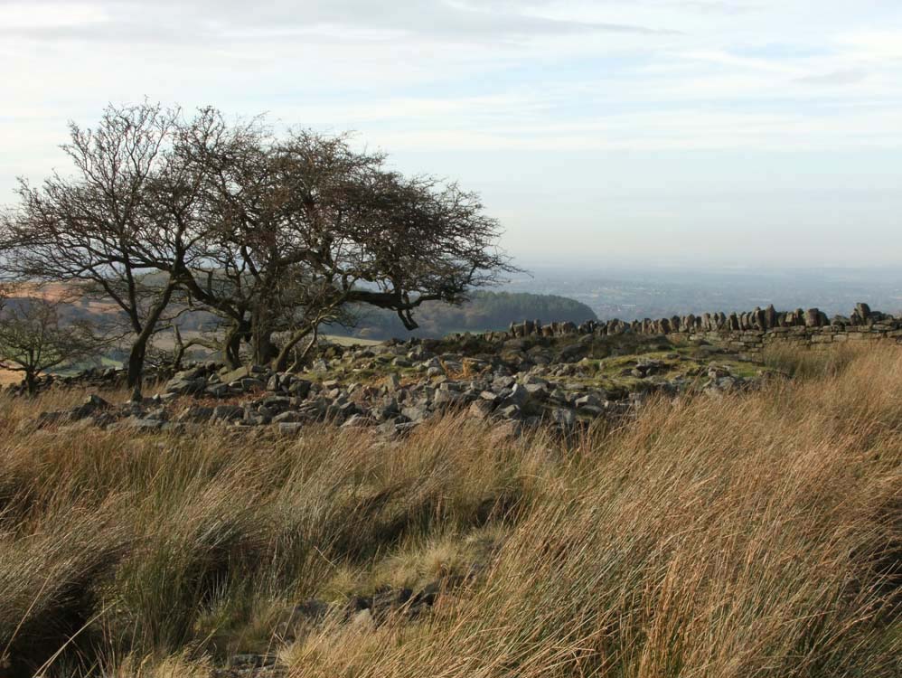
| Great Hill Farm (SD642189) | ||
| The highest of all the farms, yet well sheltered by Great Hill to the north and Black Hill Upper to the south and east | ||
 |
||
Taken from Great Hill in high summer, sheep are its only occupants now. Note the sycamores, they still look very healthy and , like Drinkwater's, lush grass surrounds the farm.
|
||
 |
Autumn, and the trees are turning golden brown, the sheep remain.
|
 |
Approaching Great Hill Farm from the east. The track to/from the farm can be seen to the right of trees wending its way up to meet the Great Hill track
|
 |
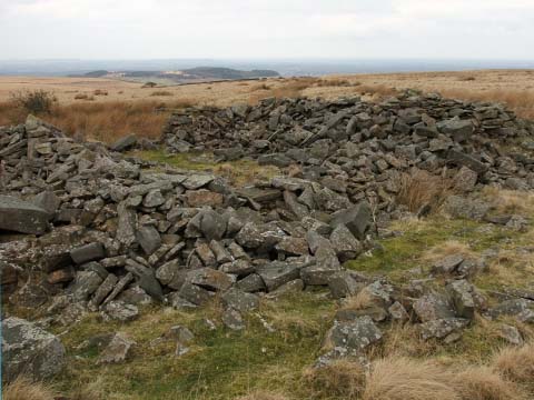
| Substantial amounts of the farm remain and its layout clear to see |
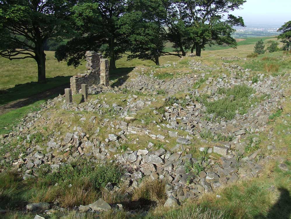
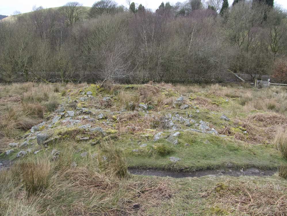
| Calico Hall (SD628197) |
| All the original track to Calico Hall have all but disappeared and it now seems a very isolated place, however, much of its stonework is clear to see, along with its layout and foundations |
 |
It looks like a pile of rubble, but look closely, walls still stand ....
|
 |
... and foundations are clear to see, as is the typical long house layout.
|
 |
The view to Healey Nab and beyond
|
 |
| South westerly view along the Long House |
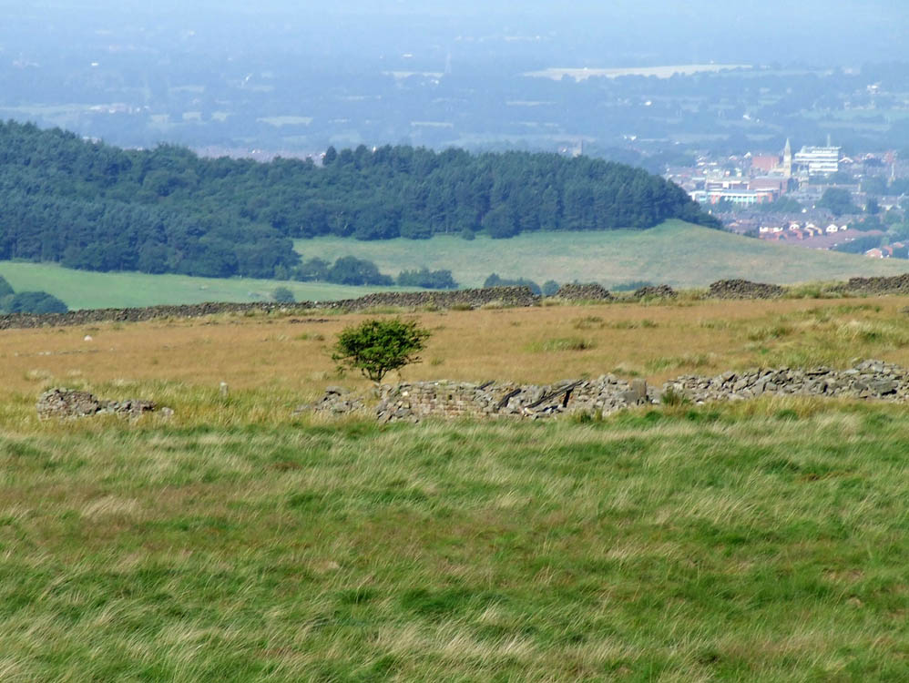
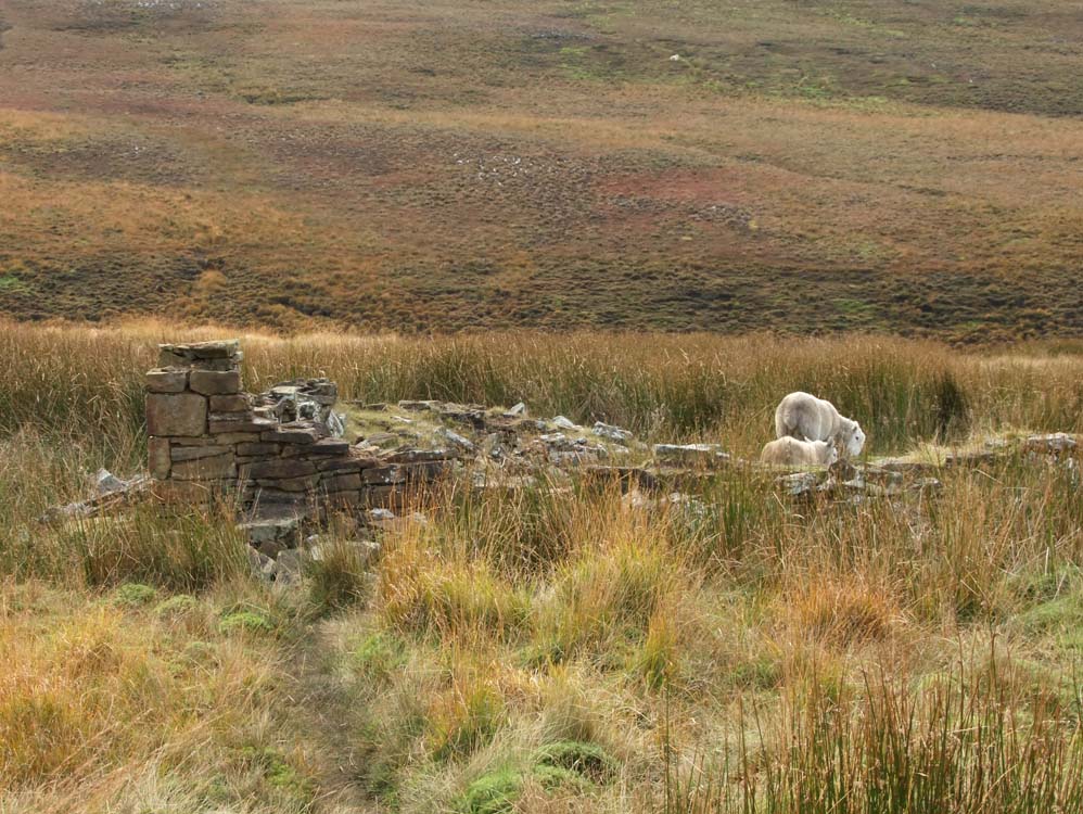
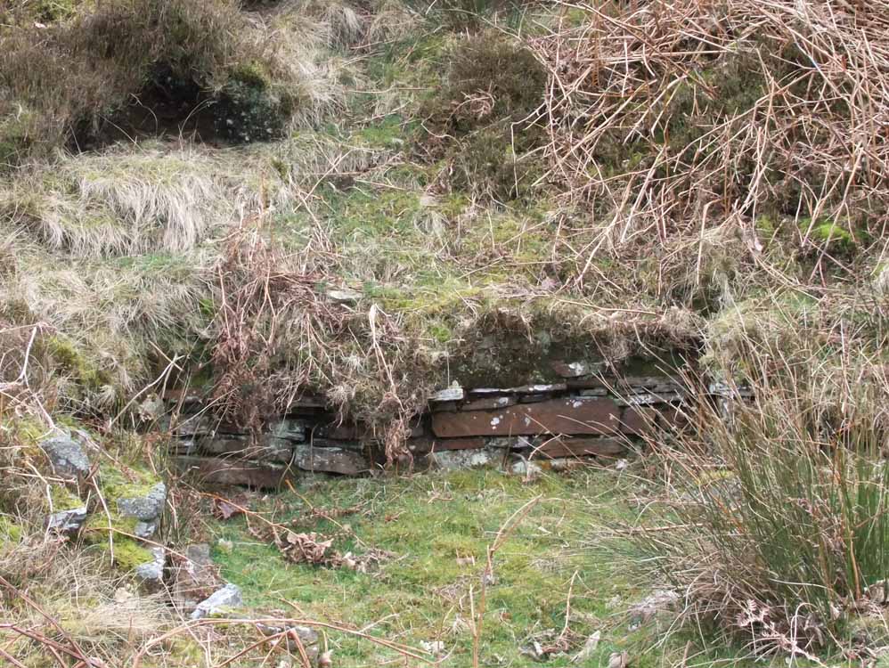
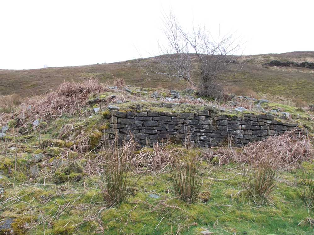
| Sour Milk Hall (SD629201) |
| Taking its name from the nearby Sour Milk Brook, the farm is another Long house design, but here are examples of stone seen in only a few of our ruins. There are roofing stones and ridge tiles, along with the clearly visible foundations. Sour Milk was one of the first farms to become uninhabited and hence derelict, even before the start of the 20th century! |
 |
| The ruins of Sour Milk Hall |
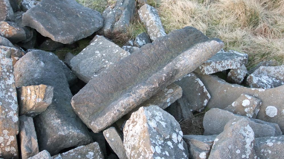 |
| Still in excellent condition, ridge stones like this one are plentiful at Sour Milk Hall |
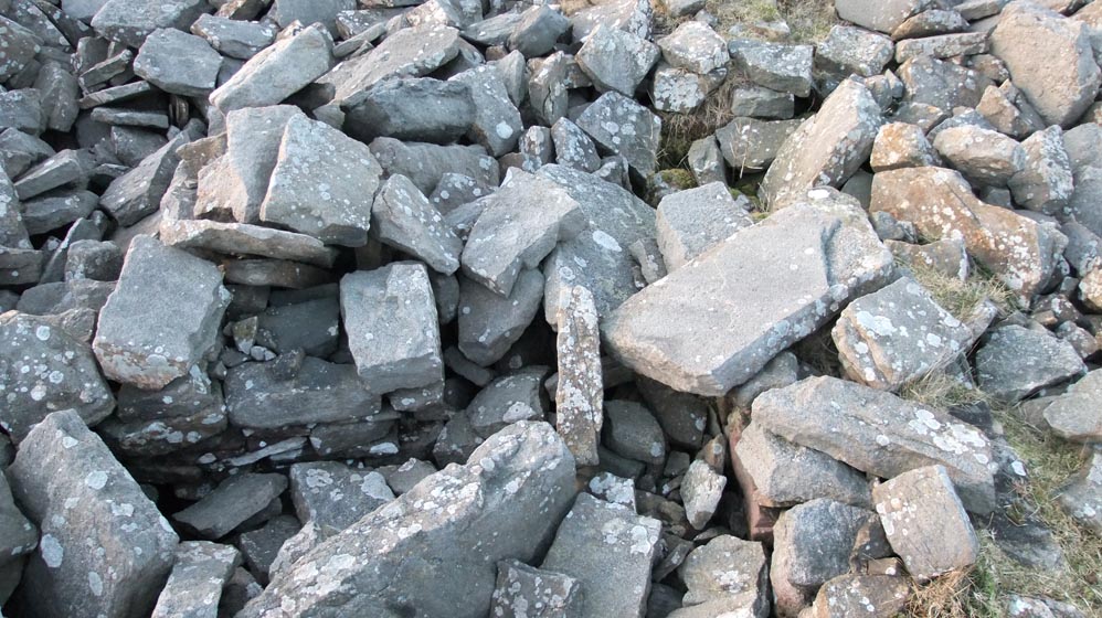 |
| Look closely, in this pile of stone is a foundation wall |
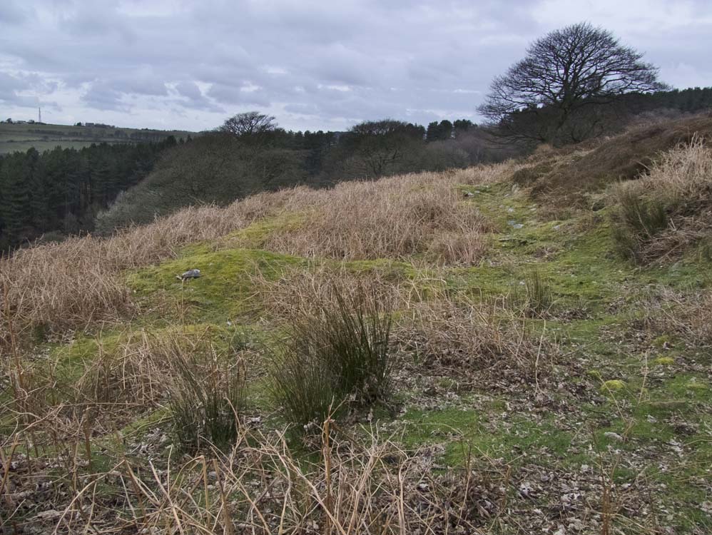
| Fir Farm (SD623198) | ||
| Of all the farms, this is the one I would have chosen to live at. The location is breathtaking. Built on a slope of at least 45 degrees, the views are stunning. Like the three previous farms, access to it now is difficult, but certainly worth the effort. Unlike the previous three farms, there is little to see here. Just the stonework of the old well, and a few ridges in the ground to give a plan of the layout . | ||
 |
||
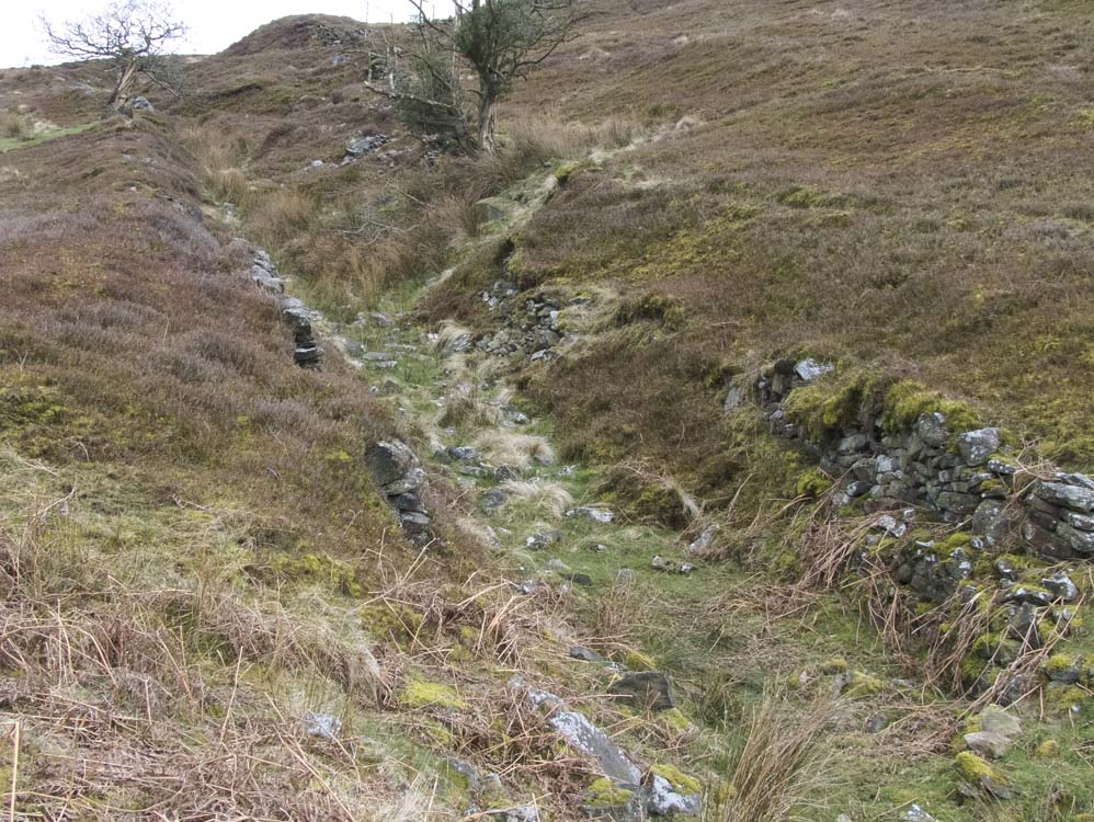
There is an old impassable sunken track from Goose Green Farm (see woods section) to Fir Farm. However there is a path that runs along the top of it, which eventually brings you to the gate posts of Fir Farm (above). Turn right here and again follow the sunken track below you to the site of Fir Farm
|
||
 |
||
The sunken track to Fir Farm. The location of which is the far sycamore
|
||
 |
||
The site of Fir Farm
|
||
 |
||
| Outlines in the ground - that's all there is now | ||
 |
||
Fir Farm's well
|
||
 |
||
Looking north towards the Pine Woods
|
||
 |
 |
|
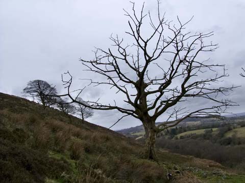
The dead sycamore easily identifies the location of Fir Farm
|
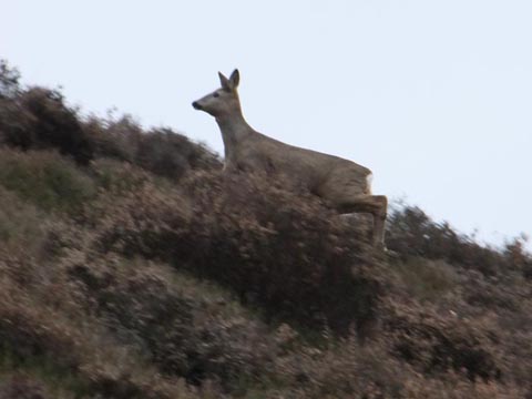
There's still animals in the fields of Fir Farm
|
|
 |
||
Fir Farm's sycamores, one dead one doing fine.
|
||
 |
||
Looking down on the site of Fir Farm - showing the fantastic views
|
||
 |
||
| Two of Fir Farms field gate posts and the view over to Healey Nab and beyond. | ||
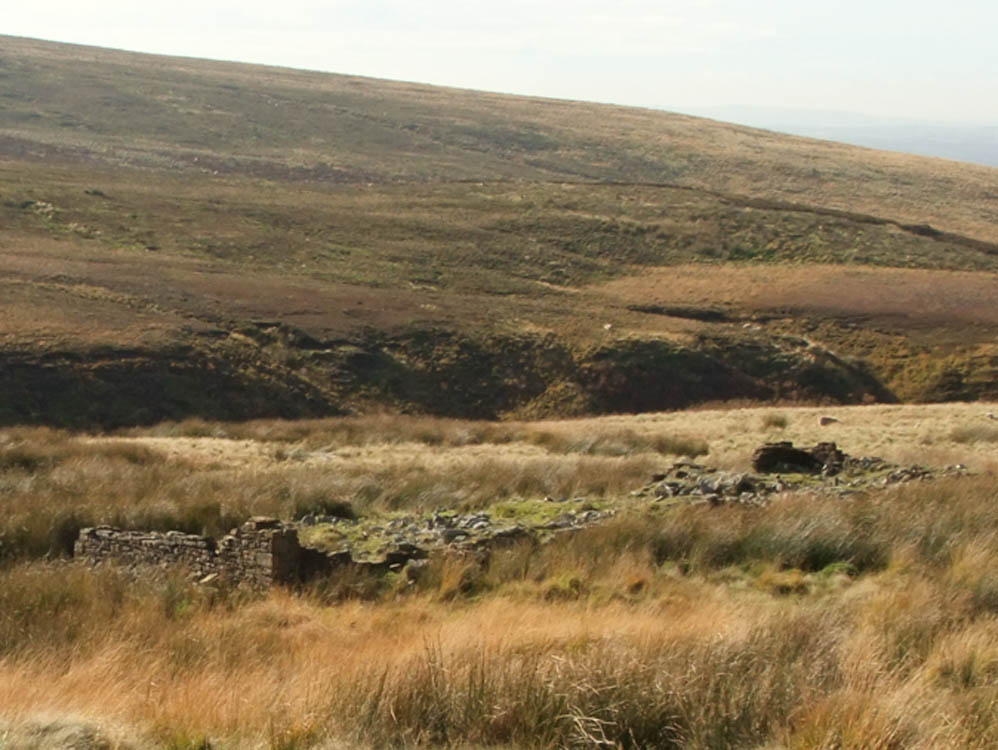
| Sharrock's Farm (SD622194) |
| Sharrock's is the closest of all the farms to the Goit, the bringer of doom to the farms. At first site there doesn't appear much to see. But after circling the ruins there is evidence of stonework and layout. Not as much as at Calico Hall, but there is some. The ruins stand by a bridge that crosses the Goit and was probably built by the Water Company to give access to the farm |
 |
| Approaching Sharrock's from Fir Farm and Goose Green Farm, there's not much to see of Sharrock's, but it's there - mid right in the photo. It was close to White Coppice |
 |
| Closer view and stonework and rubble become apparent |
 |
| The track to Calico and Heapey Moor farms passed Sharrock's and then made its zig zag way up the hillside |
 |
| Sharrock's and the bridge that crosses the goit is just visible - far right |
 |
| The best bit of Sharrock's - is viewable when approaching from the bridge |