Lower Rivington is separated from Upper Rivington reservoir by the 292 yard Horrobin Embankment, built to allow access to the village of Rivington. It is this reservoir that the other seven feed into. From here all the water goes through the filter beds, or Water treatment area as it is now known. It has two other embankments, namely the 707 yard Millstone Embankment - which is 40 ft high and the shorter Horwich embankment which is 554 yards long and 61 ft high.
It also has a major inflow apart from the reservoirs - the diverted River Douglas. The overflow, takes water back to the original course of the river.
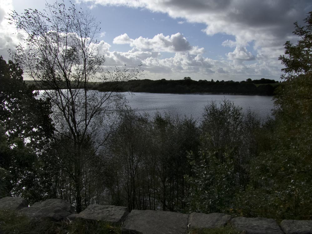
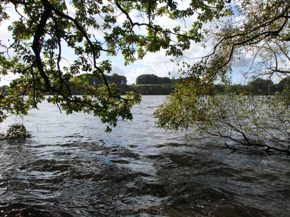
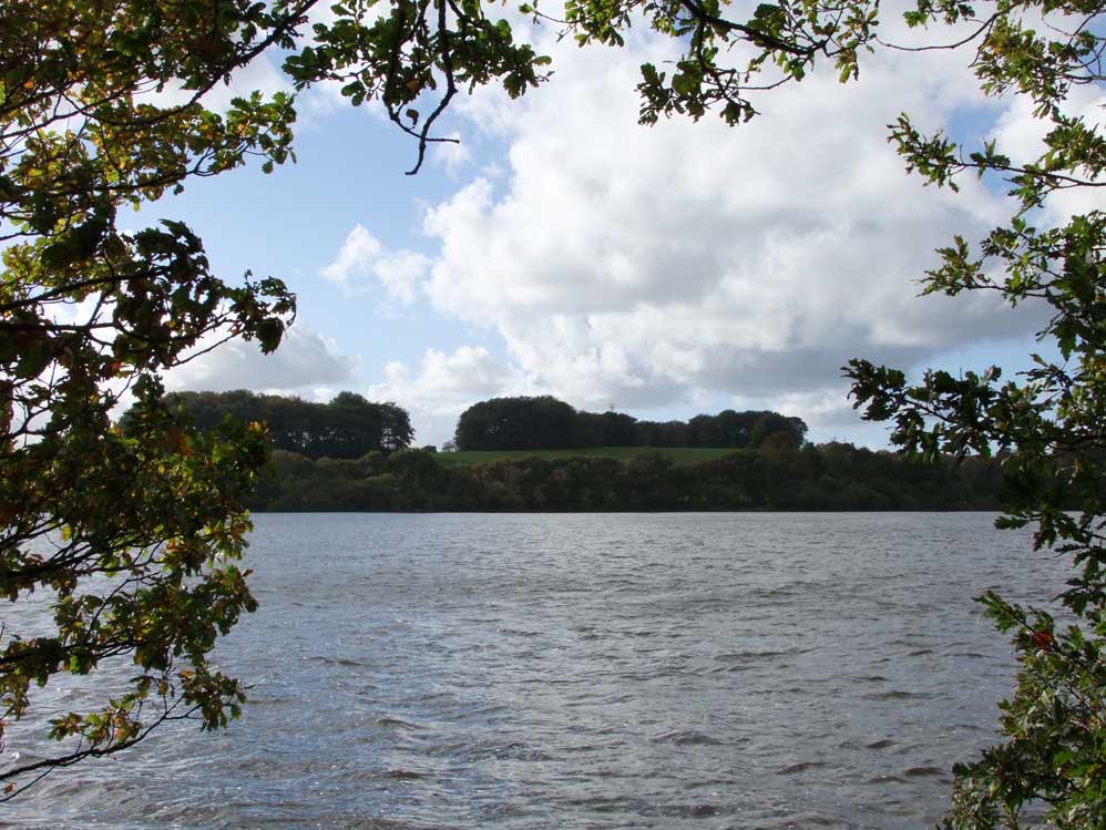
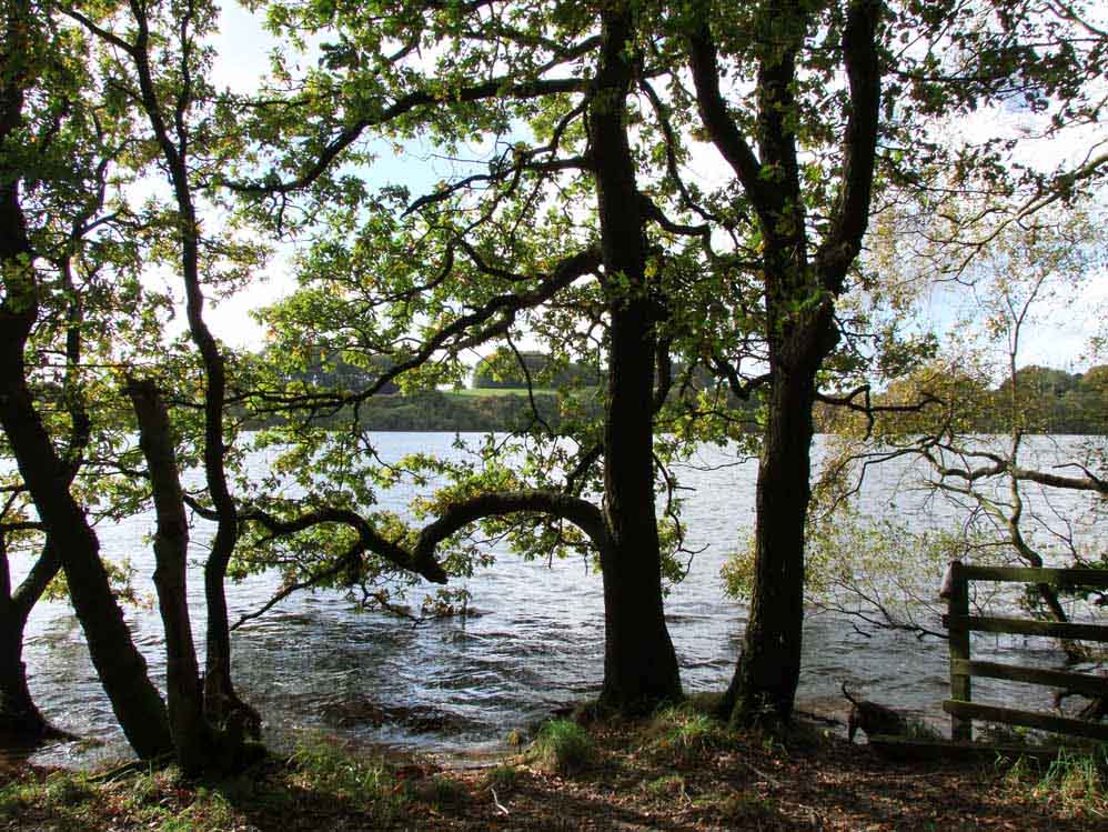
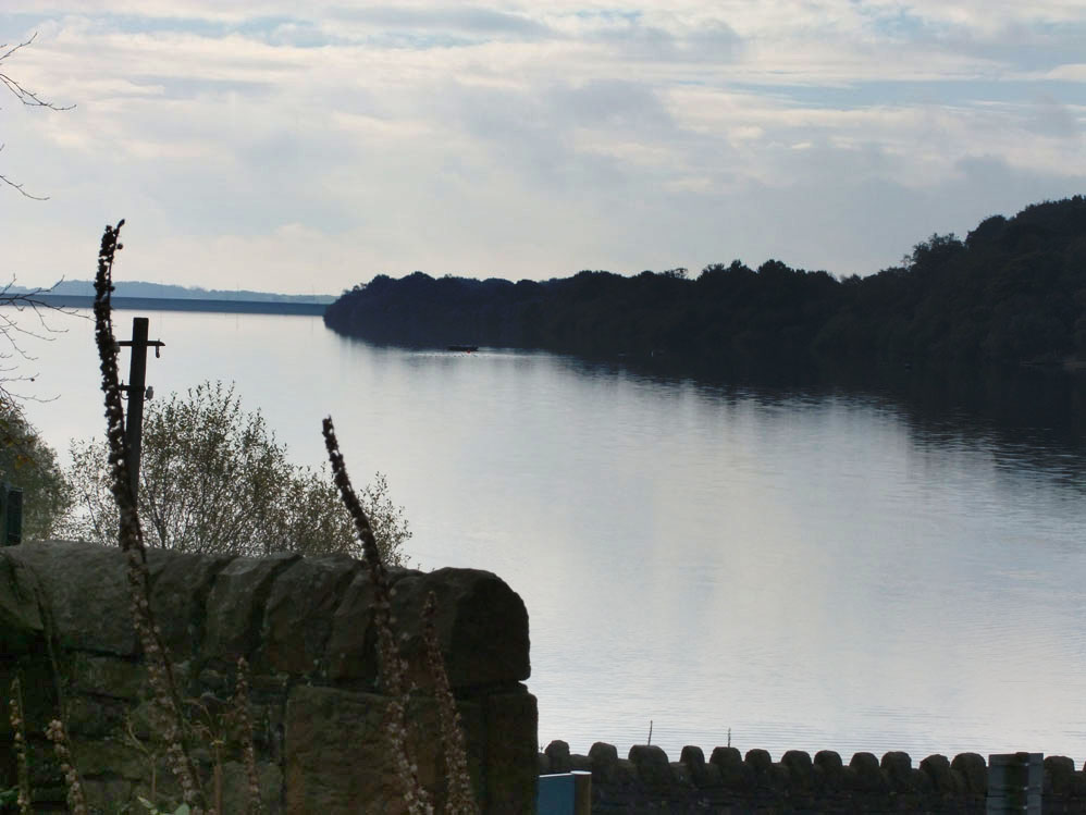
Footpaths There is only a public footpath on the Rivington side of the reservoir, but it is a lovely path - in particular near the castle - a folly that is a replica of Liverpool Castle. On the west side the Chorley - Horwich road forms the Millstone Embankment.
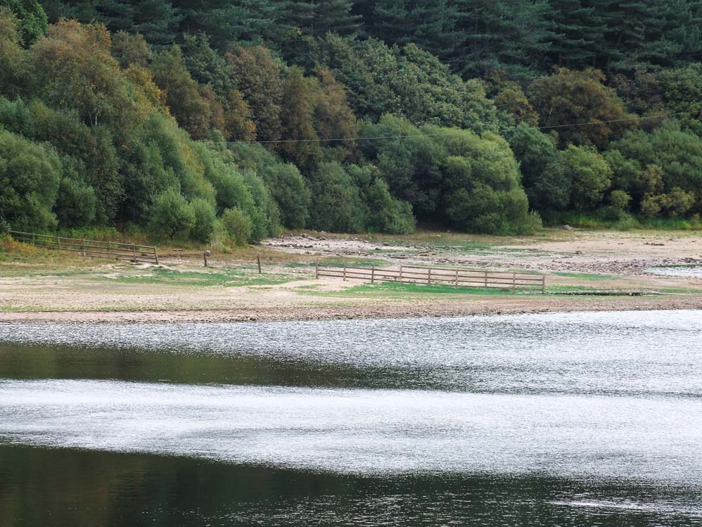
Below the Surface This appears to have been another pleasant valley similar to The Lees below Anglezarke Reservoir. Middle Brook flowed through it and was crossed by many footbridges and there were stepping stones at Crosses Creek. Also lost when the reservoir was filled was Stack Hall and Lady Hall, the rubble of the latter may become visible at times times of low water.