| |
| |
| Updated | Oct 2013 | Track/Map |
| Length | 4.7 miles |  |
| Time | 1 hr 31 mins | |
| Terrain | Level |
|
|||||
| Starting Point: | Horrobin Embankment, Rivington (SD623143) | ||||
| The first third of the walk is alongside the reservoir shore, the rest is along lanes and roads. Don't be put off though - there is plenty to see | |||||
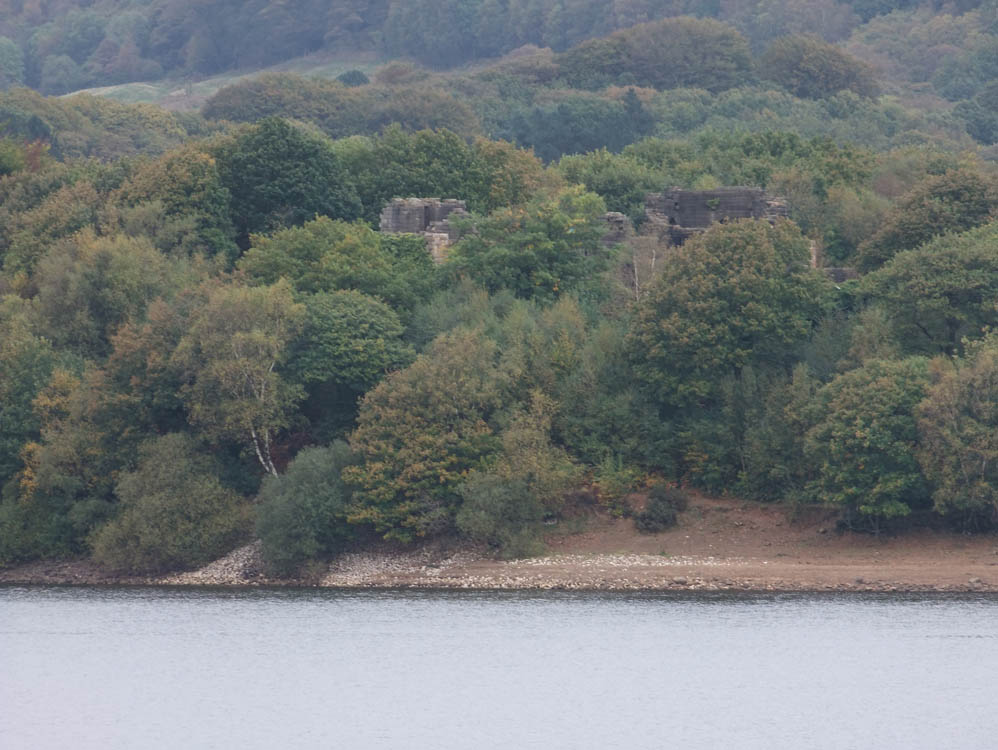
| The castle was built by Lord Leverhulme between 1912 - 1925 and was a replica of Liverpool Castle that existed from 1235 - 1725. The folly at Rivington was built to be a ruin and there was never any intention of completing it. | |||||
From the Horrobin embankment walk towards Rivington Village and turn sharp right before the Primary School. Entering a parking area, follow the fence on your right and turn right immediately as it finishes. Follow the path down to the shore and it swings left. You are entering Go Ape country so don't be surprised if a body zooms above you. From here to the end of the reservoir simply follow the path, turning right at every junction. On this section you pass a replica of Liverpool Castle, which is well worth making a detour to see. It was built for Lord Leverhulme between 1912 - 1925 and is a replica of Liverpool Castle that existed from 1235 - 1725. There was never any intention to finish it - it was built to look like a ruin. After leaving the castle follow the path around Crosses Creek and soon you will come out on a path that skirts the playing fields of Rivington and Blackrod School. This path comes out on Dryfield Lane. Turn right and you soon reach Jepson's Bridge which crosses the diverted River Douglas. After passing a private driveway to Hamer's Creek and several large houses you will see to your right over a wall the long overflow from the reservoir. It takes excess water back to the original course of the Douglas. From here you can see the Rivington Water Treatment Works (originally called the Filter beds) At the end of Dryfield Lane turn right and pass an original house of the Liverpool Corporation Water Works. Sadly as I passed it in 2013 it was empty and boarded up. Continue along the main road and after passing the entrance to the Treatment Works you will soon be on the Millstone embankment. Admire the view to the Pike and over to Blackrod to the west. Arriving at The Millstone, turn right onto Rivington Lane. After 300 yds look out for the Headless Cross and stock of Grimeford Village on the left. Here as always on this walk take the road to the right. Stay on this till you reach Horrobin Lane. Turn right and make your way down to the starting point on the embankment
|
|||||
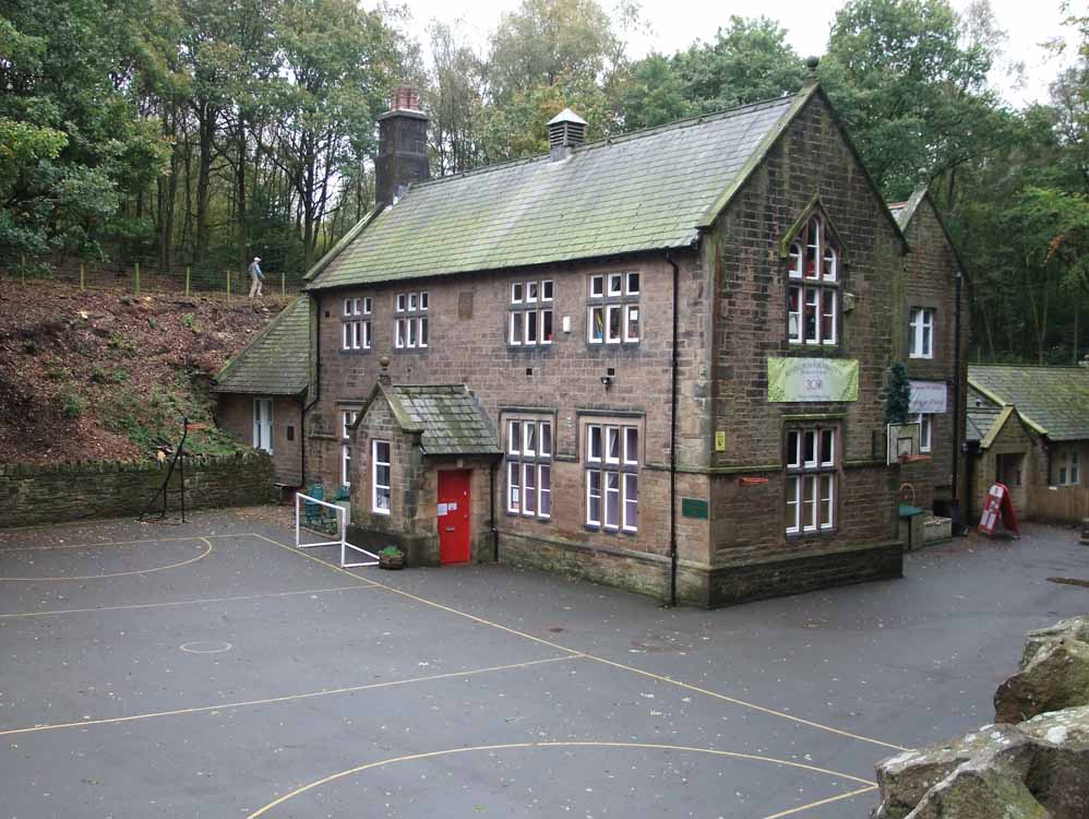
This was the original Rivington Grammar School, now Rivington Primary School - it was built in 1714
|
|||||
 |
|||||
The Horrobin (or Rivington) Embankment
|
|||||
 |
|||||
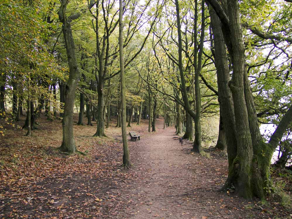
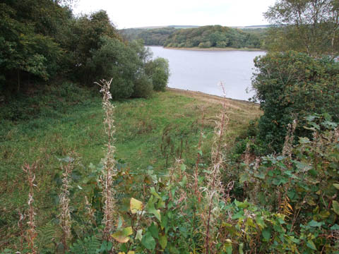
Leafy footpath alongside the reservoir
|
|||||
 |
|||||
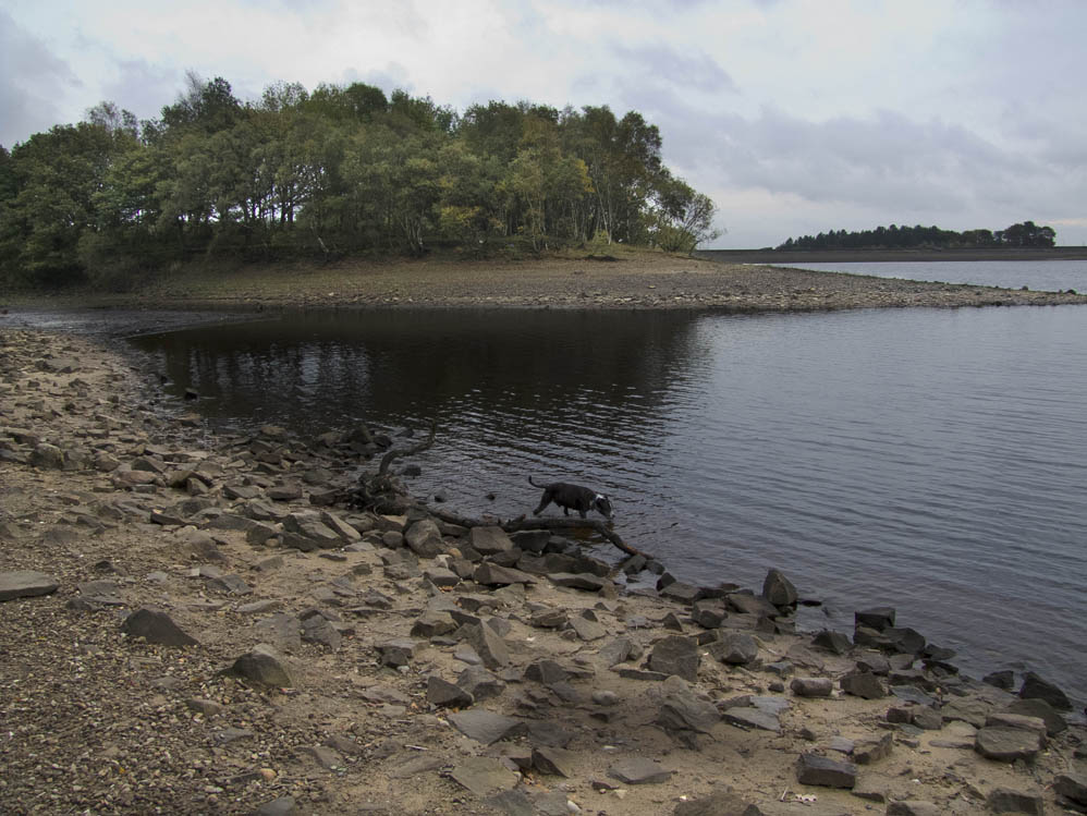
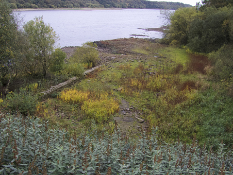
Crosses Creek
|
|||||
 |
|||||
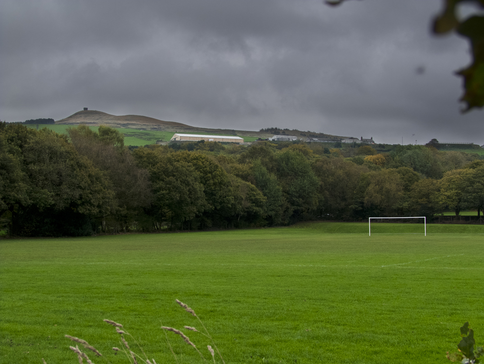
The playing fields of Rivington & Blackrod Grammar School, with Rivington Pike in the distance
|
|||||
 |
|||||
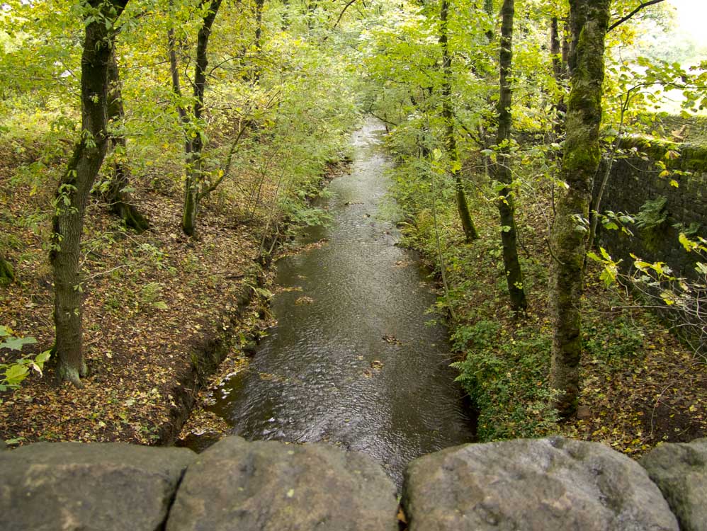
The diverted River Douglas nears the reservoir. This is taken on Jepson's Bridge
|
|||||
 |
|||||
Seldom seen - this is the overflow from Lower Rivington, which takes water back to the original course of the Douglas
|
|||||
 |
|||||
Another view of it
|
|||||
 |
|||||
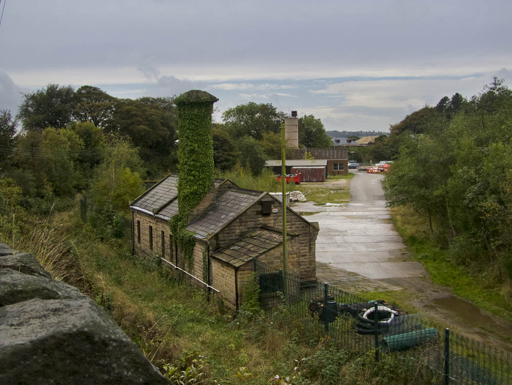
One of the original buildings in what was originally called the filter beds - now called Rivington Water Treatment Works
|
|||||
 |
 |
||||
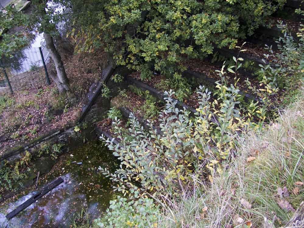
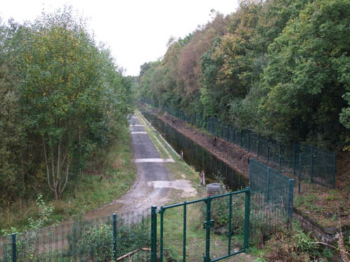
A channel in the filter beds
|
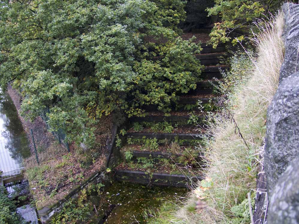
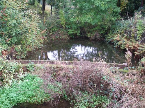
Weir on the original Douglas
|
||||
 |
|||||
Millstone Embankment to the left and the Horwich embankment to the right
|
|||||
 |
|||||
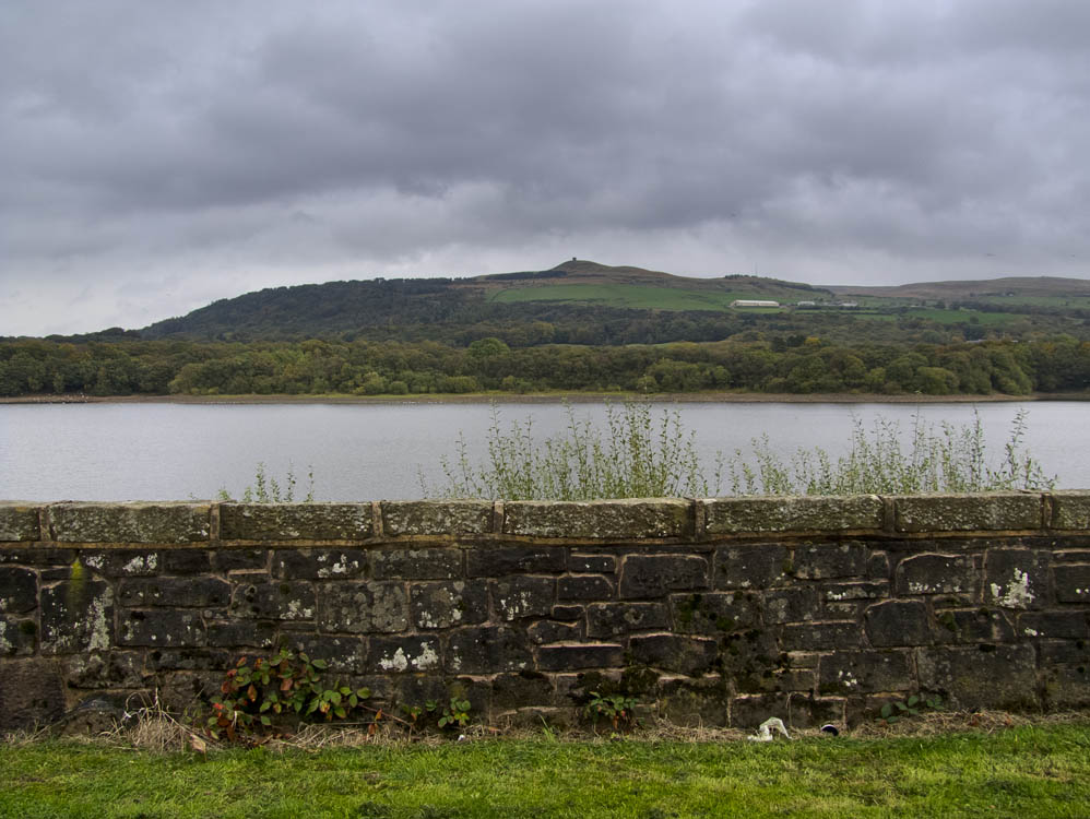
Rivington Pike from the main Chorley to Bolton road
|
|||||
 |
|||||
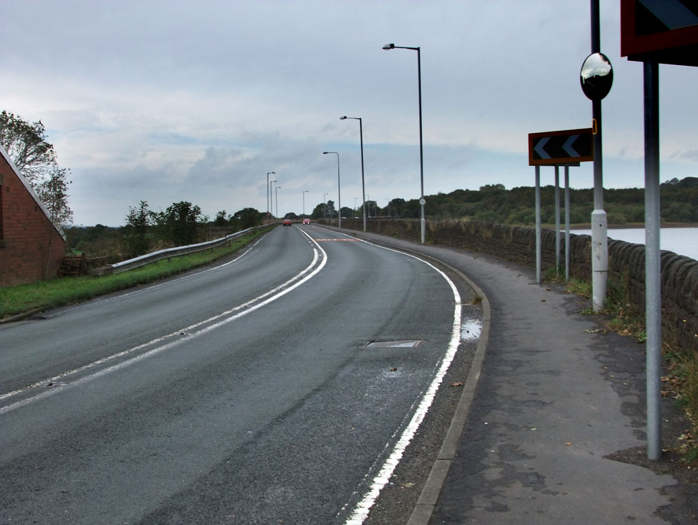
The Millstone Embankment
|
|||||
 |
|||||
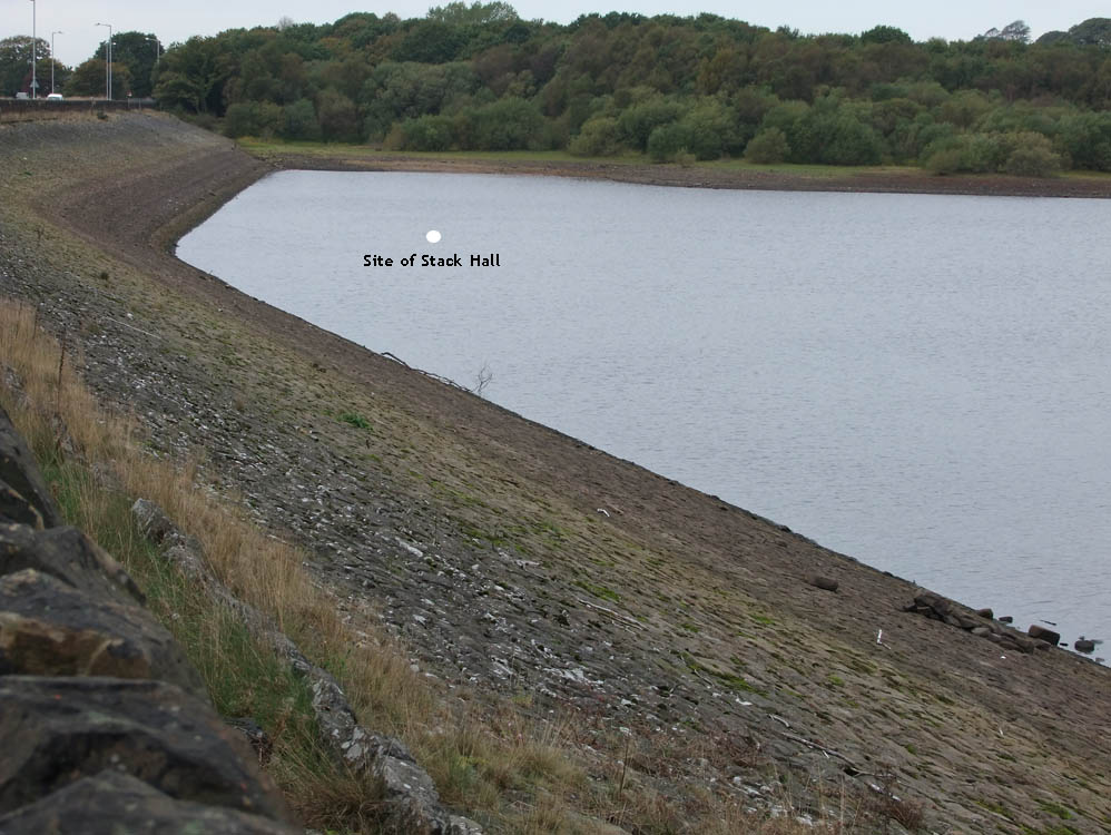
Stack Hall lies below
|
|||||
 |
|||||
Liverpool Castle - the folly that Leverhulme had built - as seen from the Millstone Embankment
|
|||||
 |
 |
||||
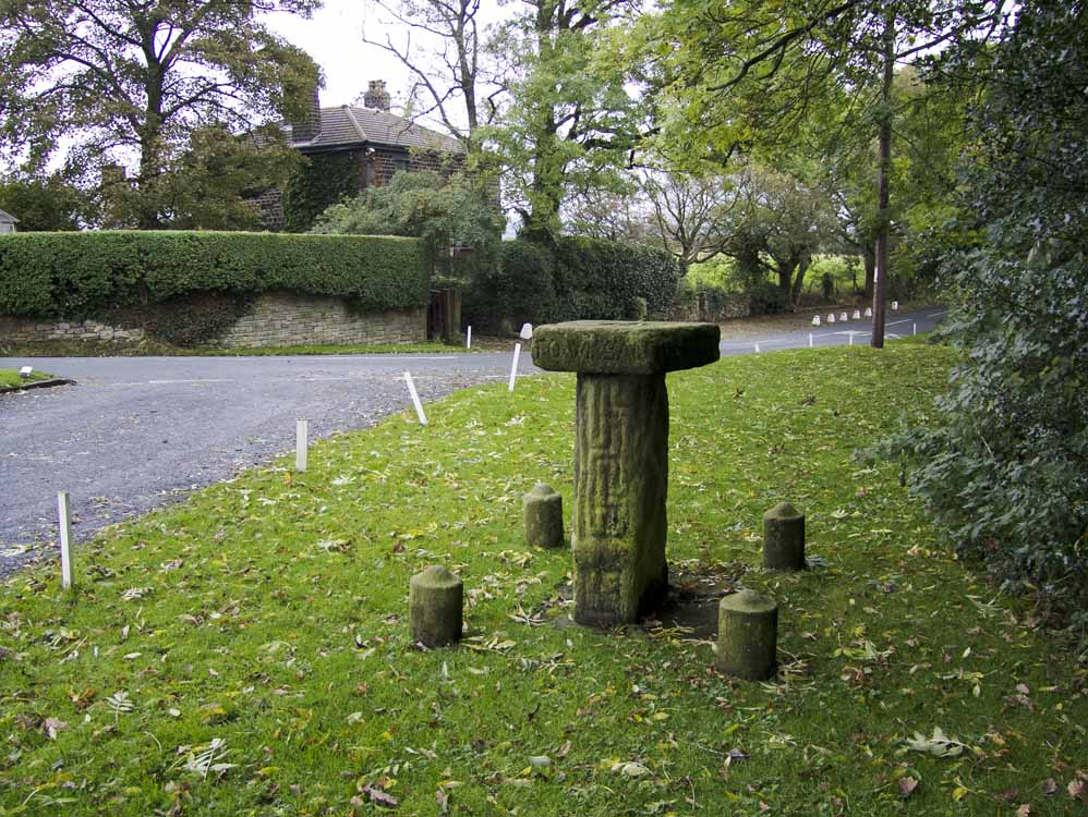
The Headless Cross and stocks at Grimeford village
|
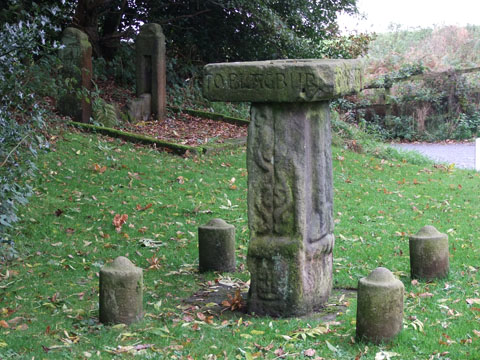
Close up of the cross
|
||||
 |
|||||
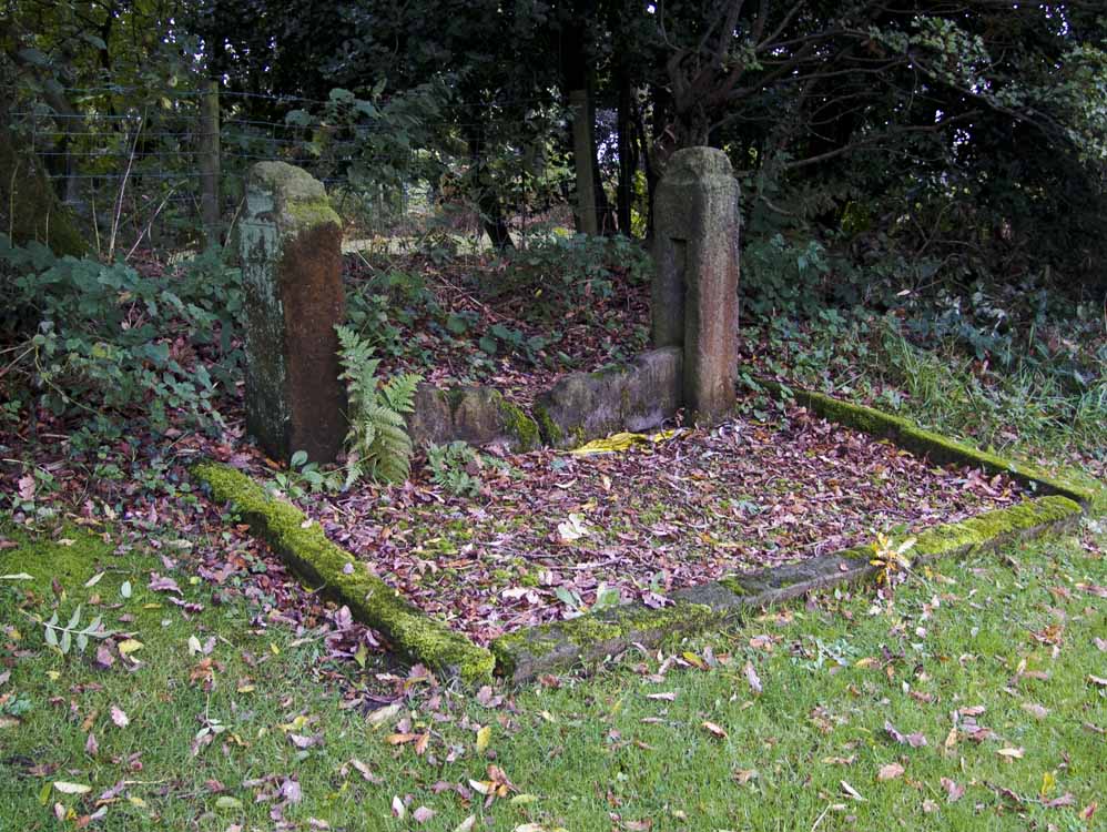
A close up of the stocks
|
|||||
 |
|||||
Headless Cross
|
|||||
 |
|||||
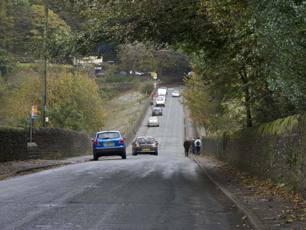
New Road Anderton - leads back to Horrobin Lane
|
|||||
 |
|||||
Looking down Horrobin Lane to the embankment
|
|||||
 |
 |
||||
The overflow from Upper Anglezarke on the south side of the causeway
|
The same overflow on the north side of the causeway
|
||||
 |
|||||
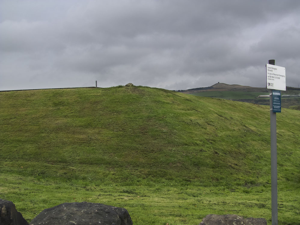
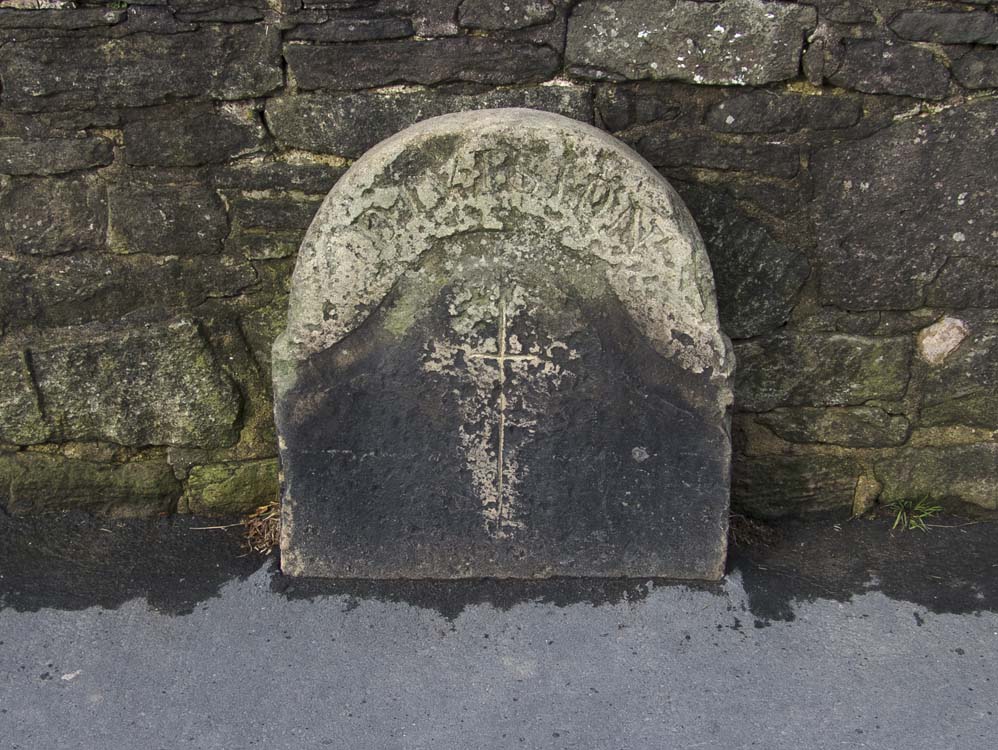
The boundary stone on the embankment marks the boundary of Anderton and Rivington |
|||||
|
|
|||||