|
||||
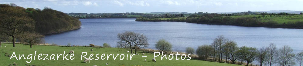
| A selection of photo's showing the reservoir through the years and through the seasons
|
||||
 |
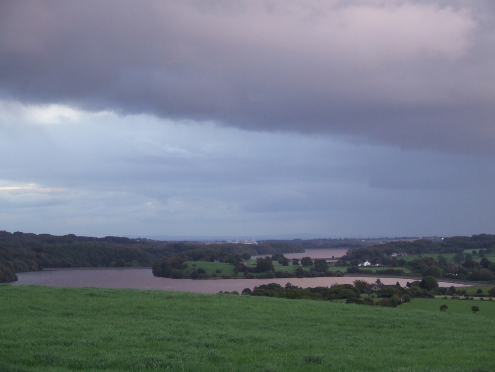
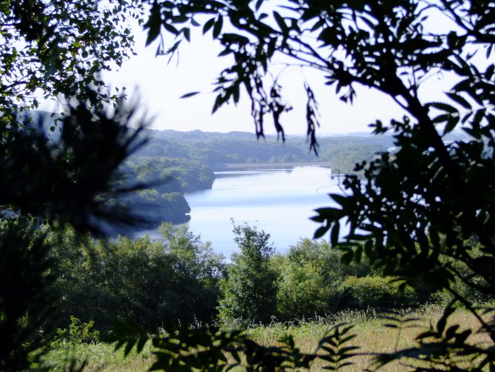
Anglezarke, and Upper and Lower Rivington Resevoirs taken from the view point above Lister Mill Quarry |
 |
May 2012 - Anglezarke, and Upper and Lower Rivington Resevoirs taken from the view point above Lister Mill Quarry |
 |
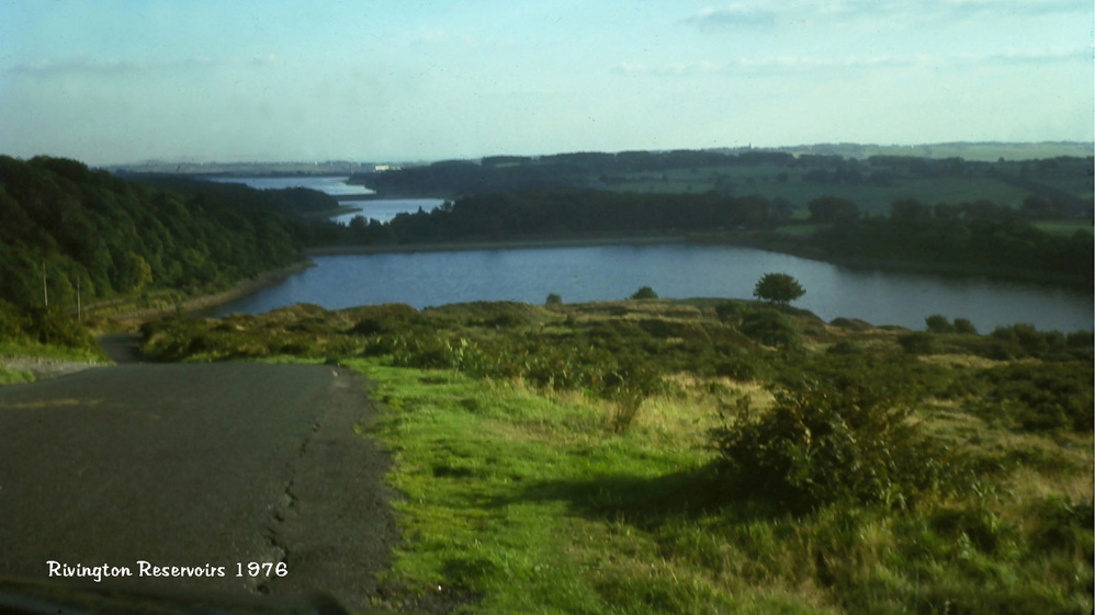
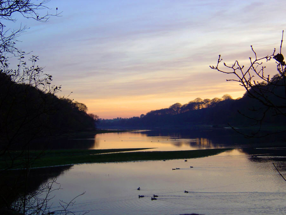
1976 sunset above the long Charnock embankment
|
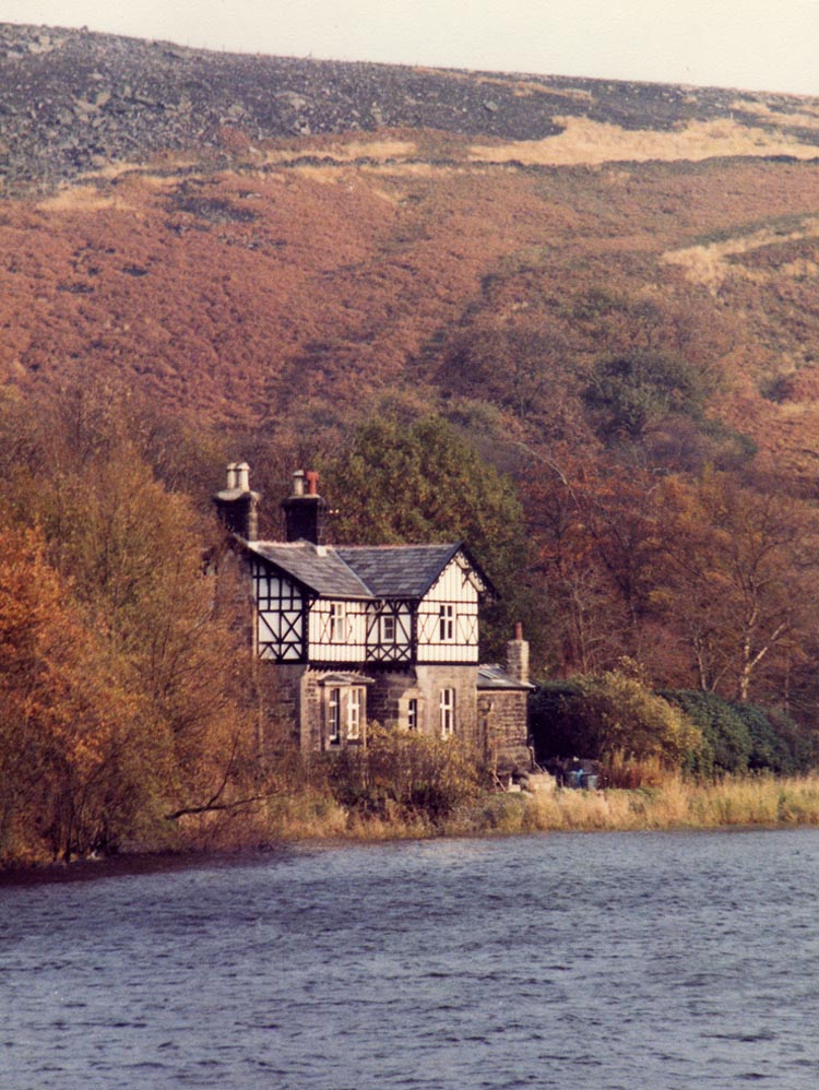 |
Heapey Waterman's Cottage 1980 from the Heapey embankment
|
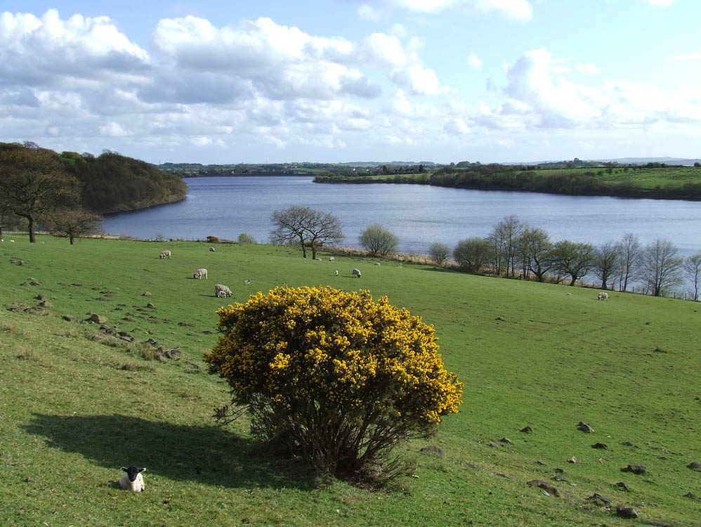 |
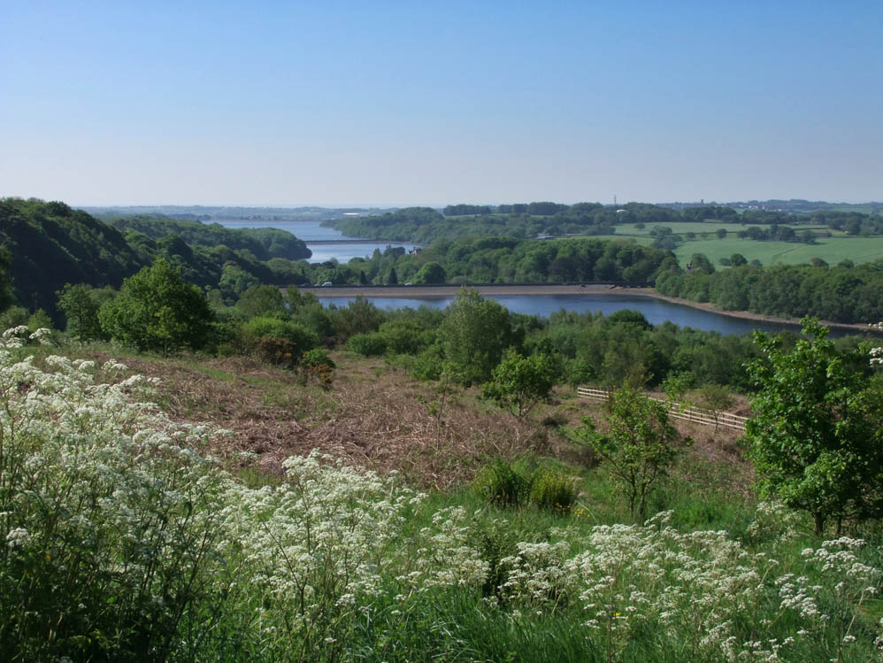
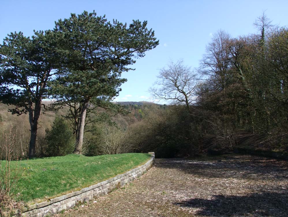
Spring and lambs adorn the fields. This is taken from the path to Chorley (High Bullough) resevoir
|
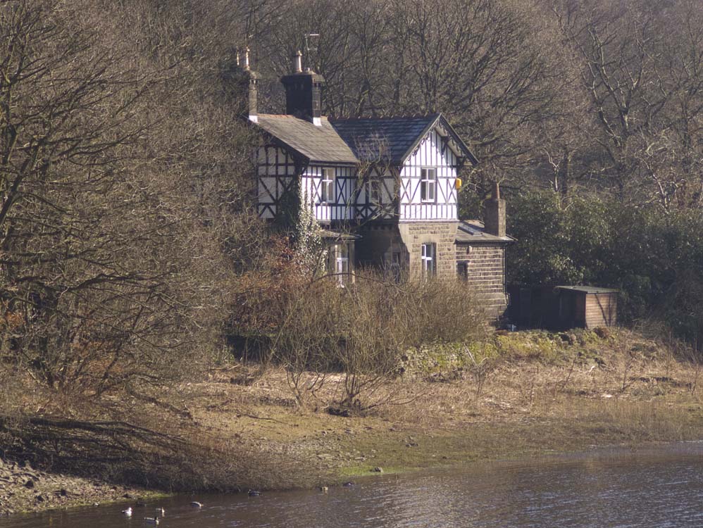 |
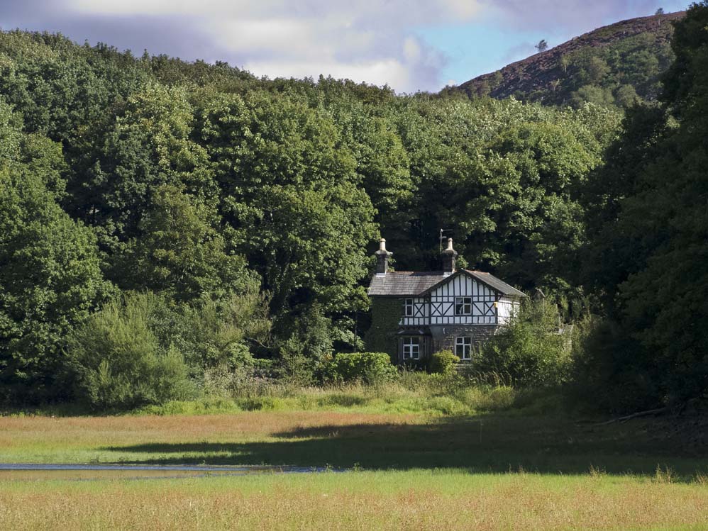
Heapey Waterman's Cottage 2010
|
 |
The Nab above Kay's Farm and the Charnock embankment
|
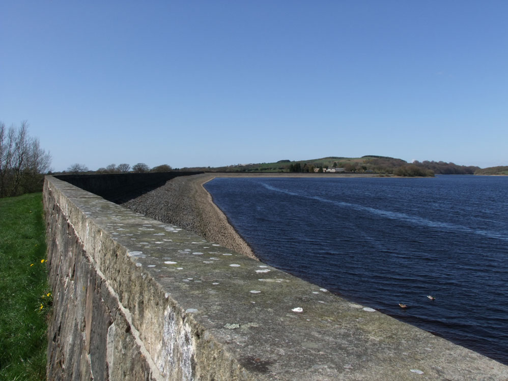 |
The Charnock embankment looking towards Kay's Farm and Healey Nab
|
 |
|
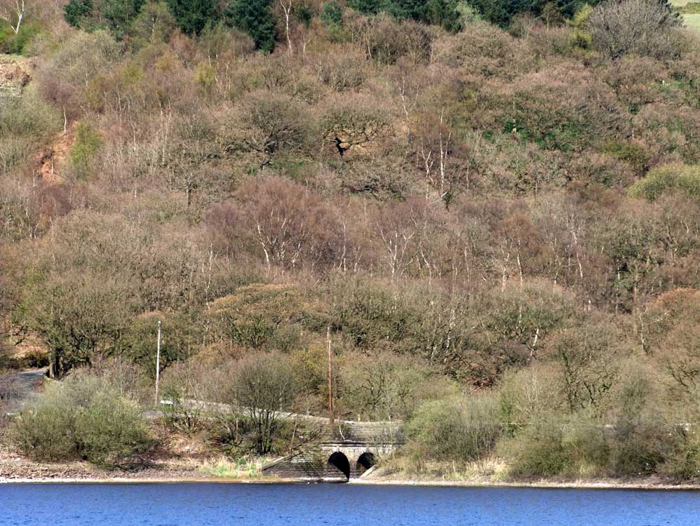 |
The inlet from the overflow from Yarrow reservoir - taken from the Knowsley embankment
|
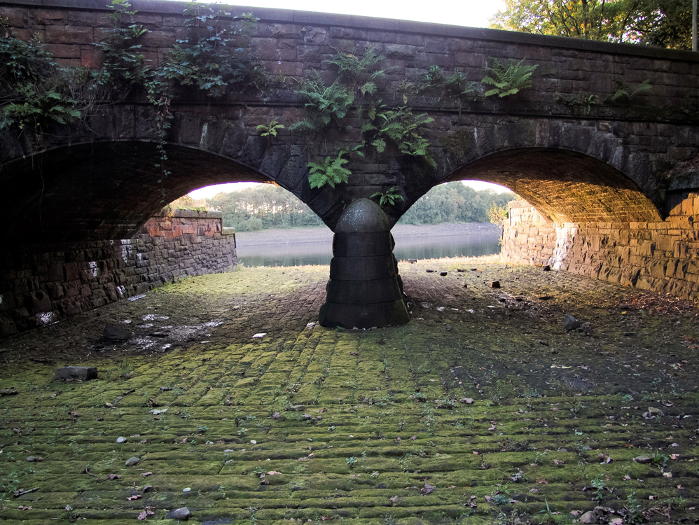 |
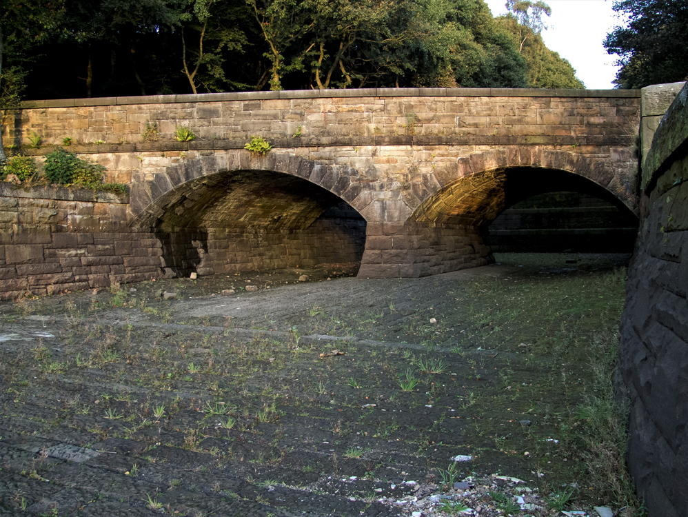
This is the bridge in the photo above viewed looking down the overflow towards Anglezarke Reservoir
|
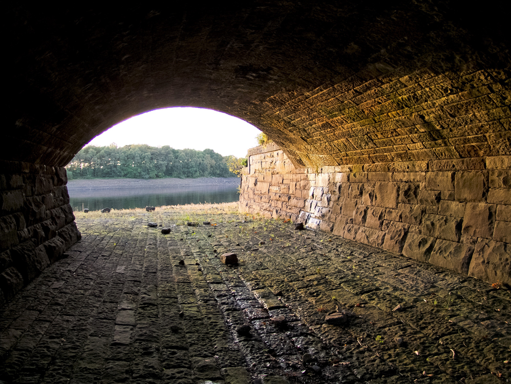 |
Inside the right hand tunnel
|
 |
Looking up the overflow. The position this photo taken from is usually under water. It does show however, just how well the bridge and verflow were constructed.
|
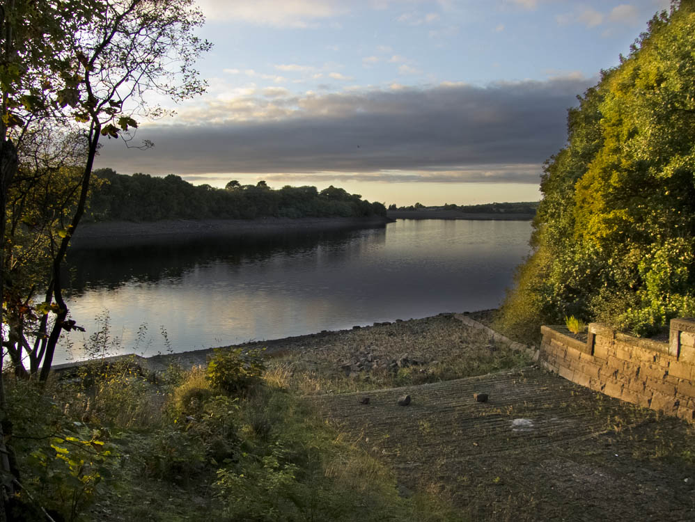 |
Anglezarke from the bottom of the overflow from Yarrow
|
 |
Taken from Healey Nab, Anglezarke with Upper Rivington beyond
|
 |
I call this "Surprise View". It suddenly appears as you leave the woods on The Nab
|
 |
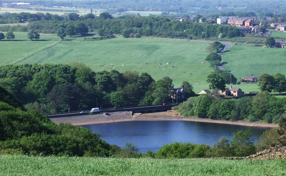
Anglezarke from Yarrows embankment. In times of low water Anglezarke is filled from Yarrow from the pump house and the flow goes below the bridge in the distance
|
 |
The Nab from Knowsley embankment
|
 |
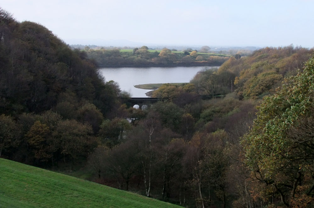
Another view of the large overflow into Upper Rivington, taken from the ridge above the ruins of Parson's Bullough Farm
|
 |
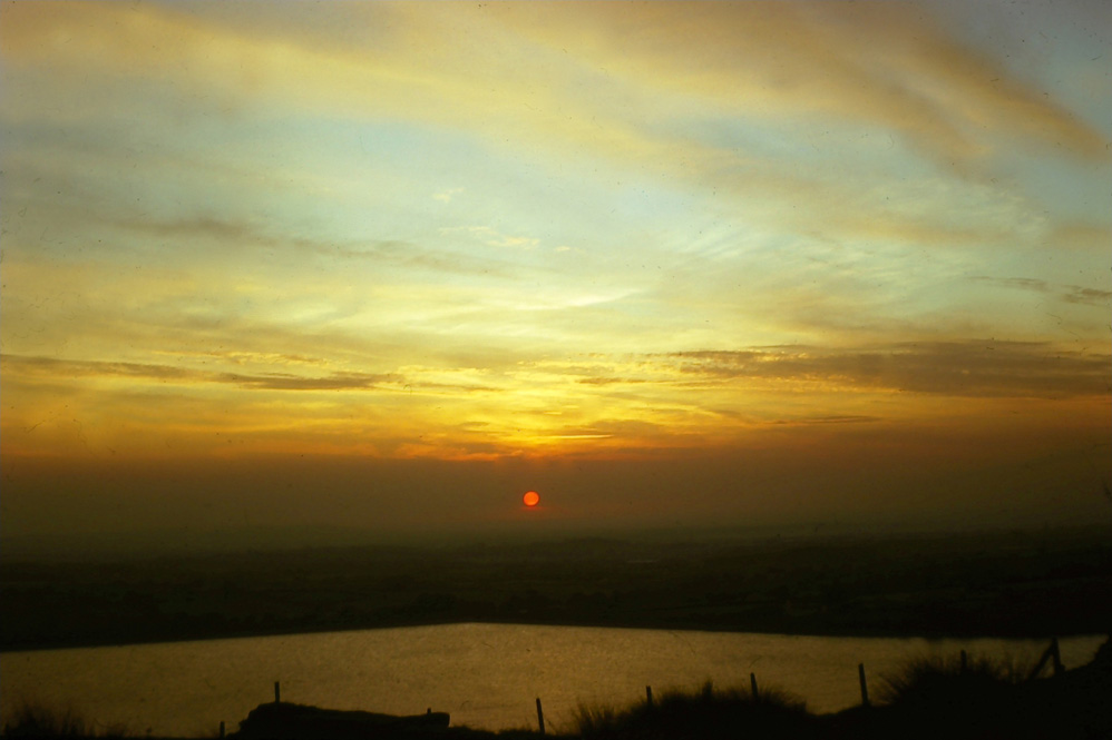
Sunset over the resevoir - from Heapey embankment
|
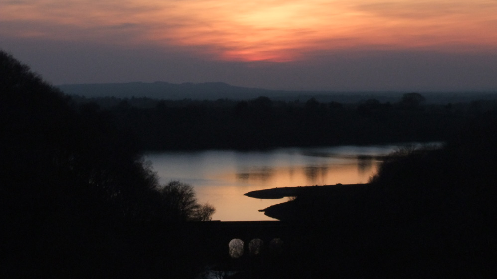 |
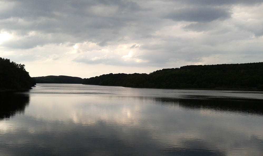
Sunset from the Yarrow Embankment
|
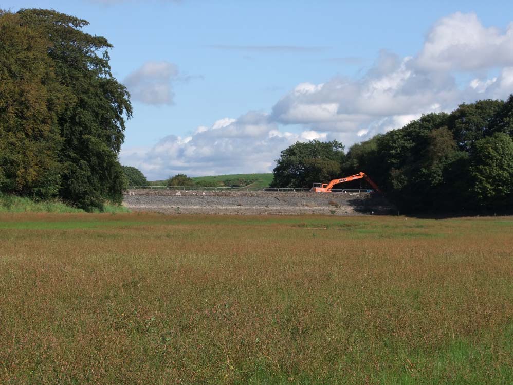 |
Low water and repairs to Heapey embankment - Oct 2013
|
 |
Unusual view of Waterman's Cottage - from the middle of the reservoir
|