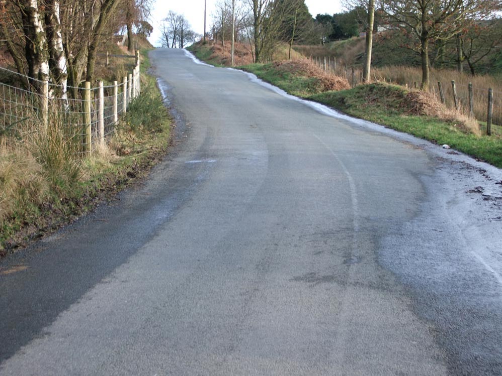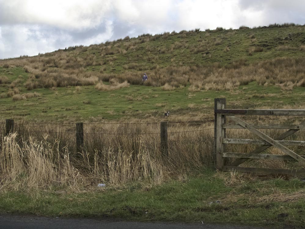
View from the lay-by. Enter the field over a stile to the right of the gate and then make your way towards the top left of the photo
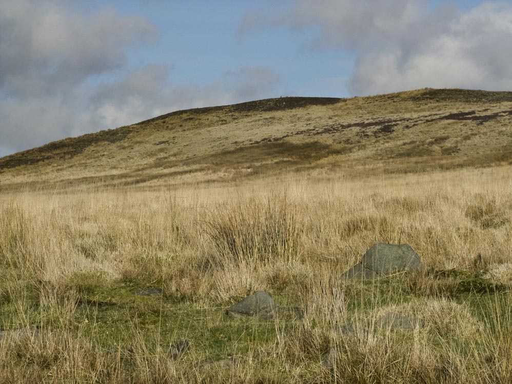
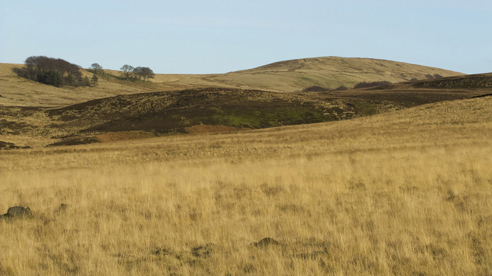
And this is the view to your right, up to Grain Pole Hill
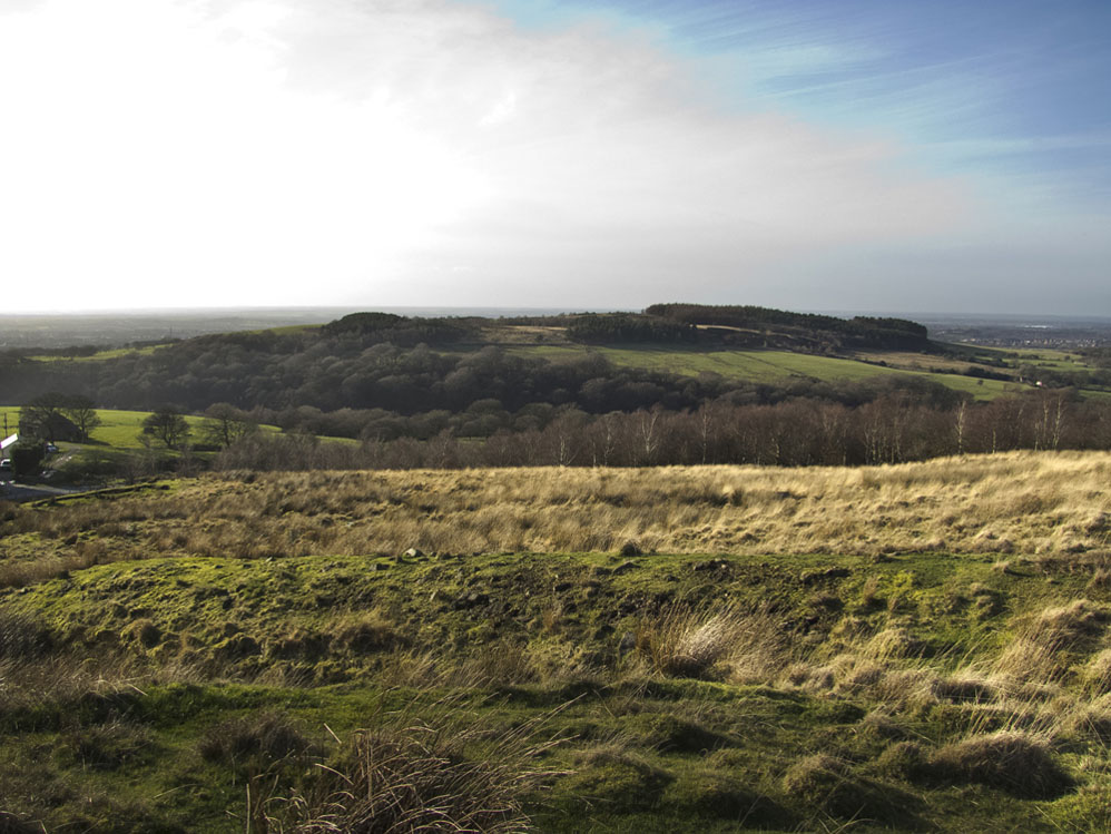
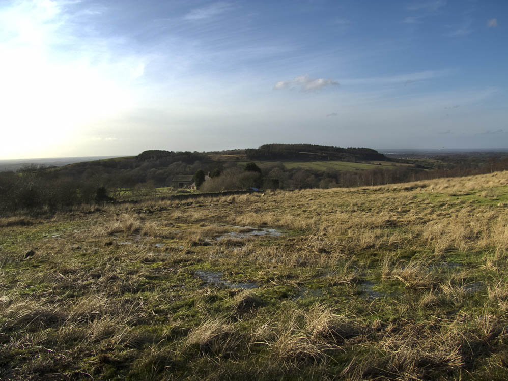
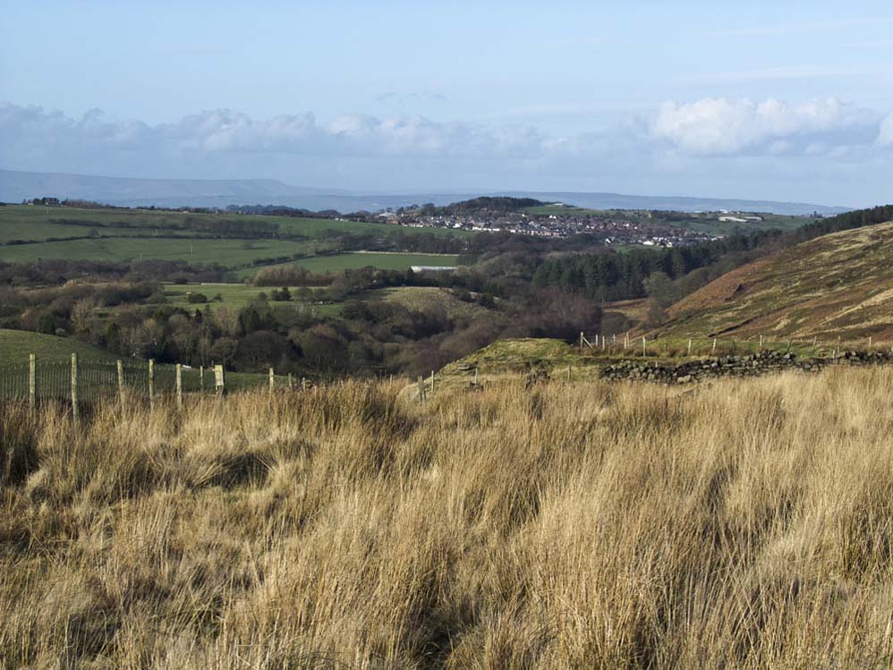
A little higher now, Healey Nab and the coast beyond
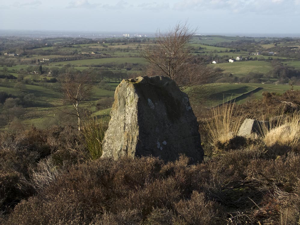
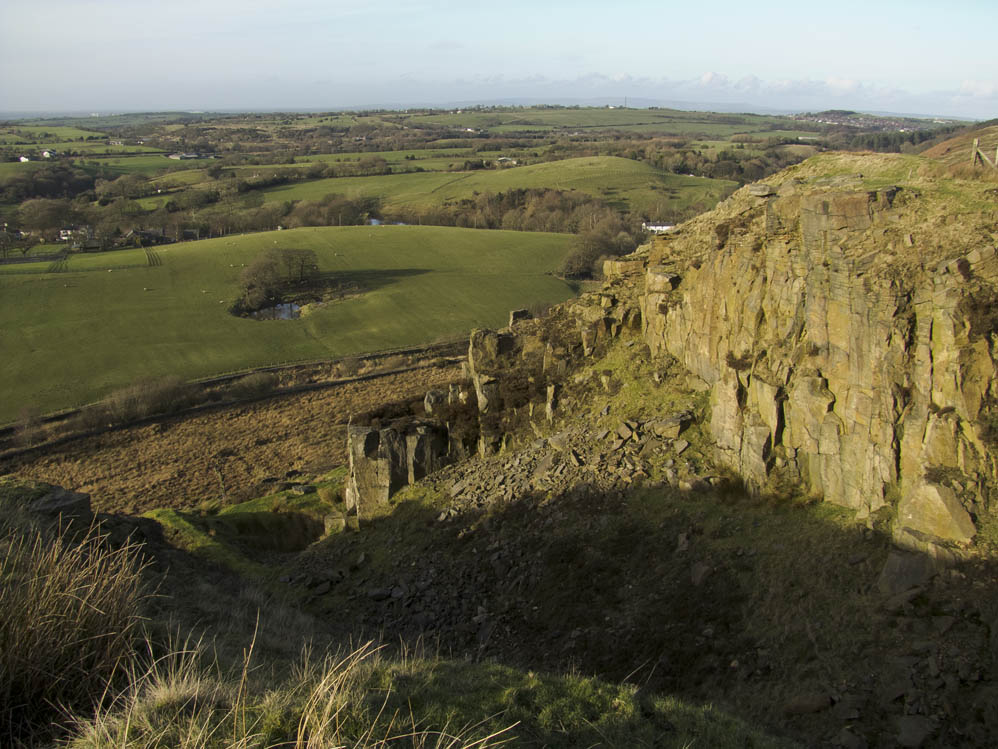
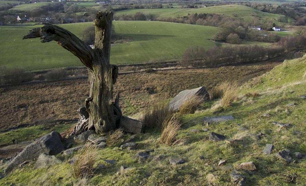
Looking northwards along the edge from near the stone
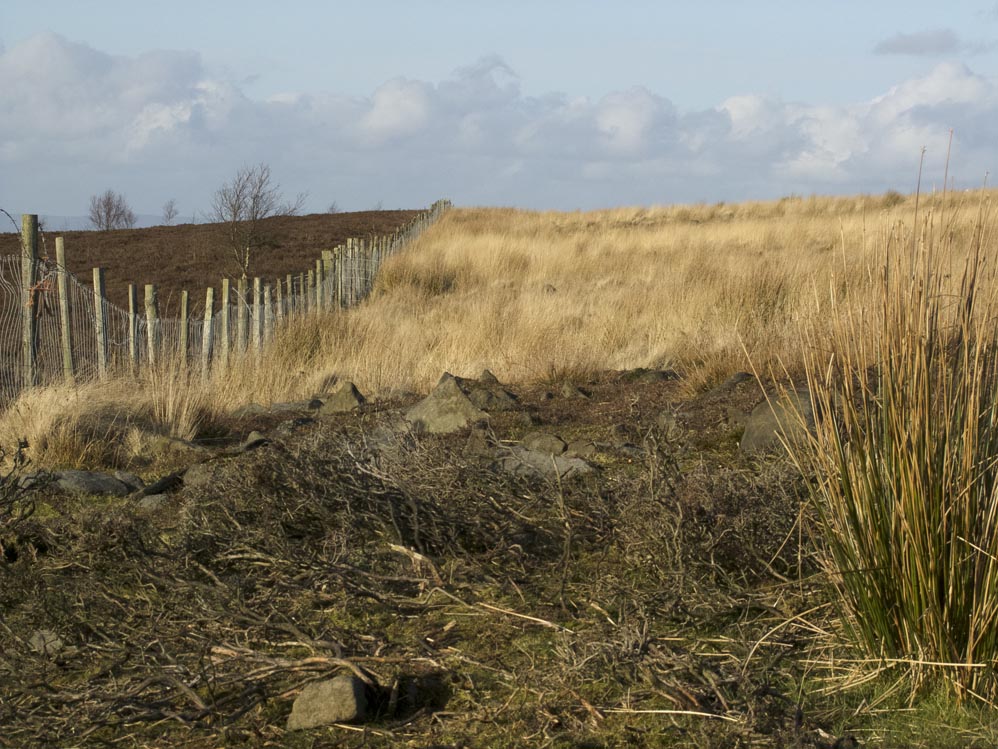
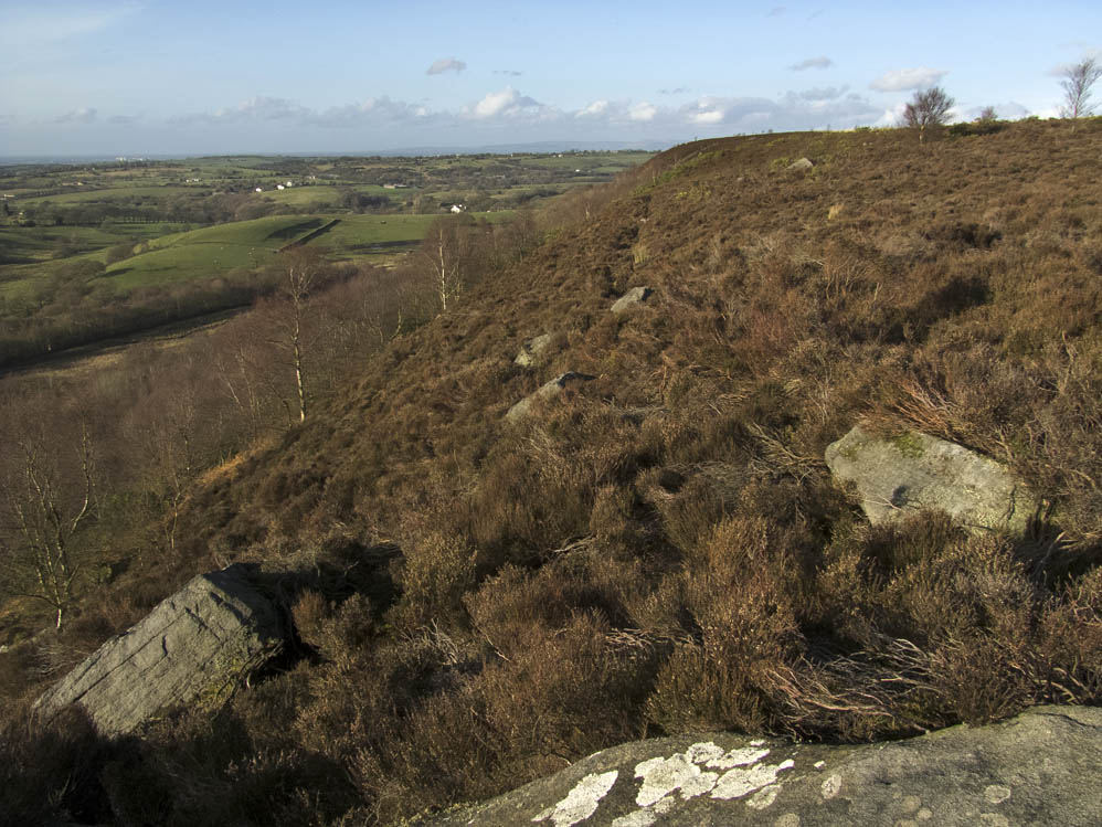
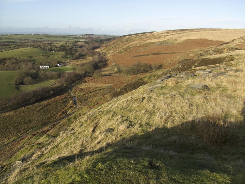
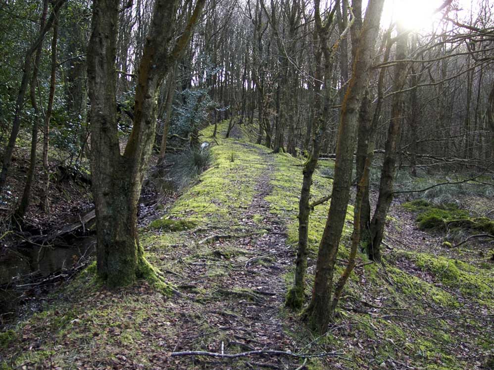
The footpath along Stronstrey Bank
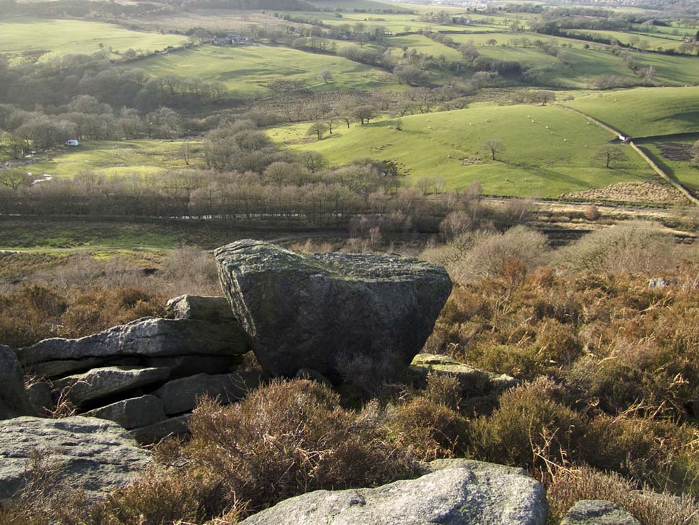
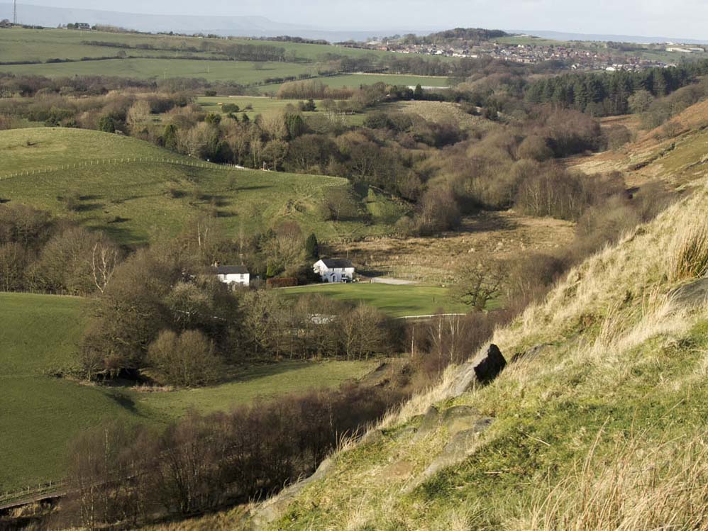
A great vista is to be had sat on this stone. Have 5 minutes and take in the views....
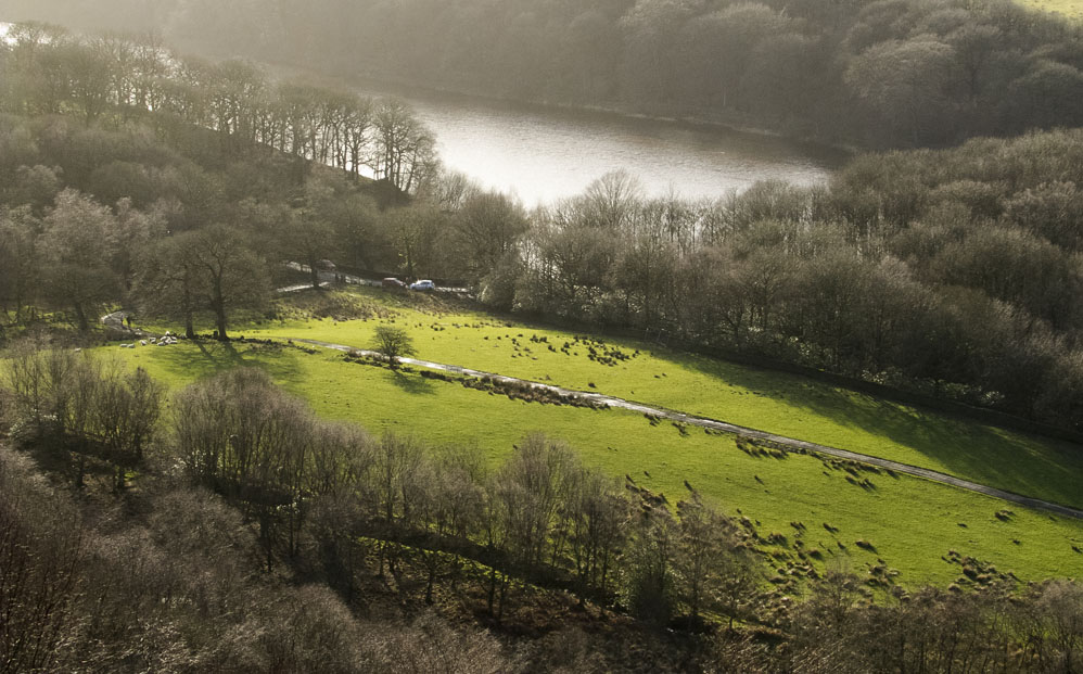
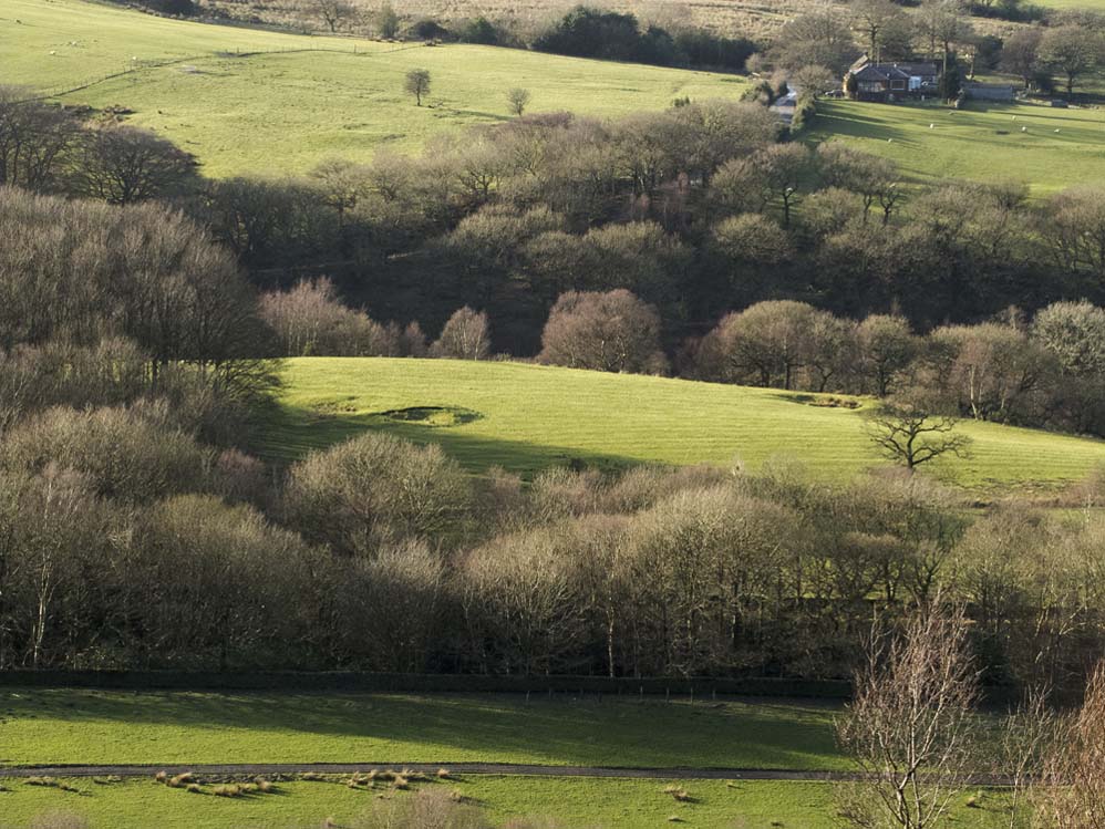
...like this one down to the foot of Anglezarke reservoir
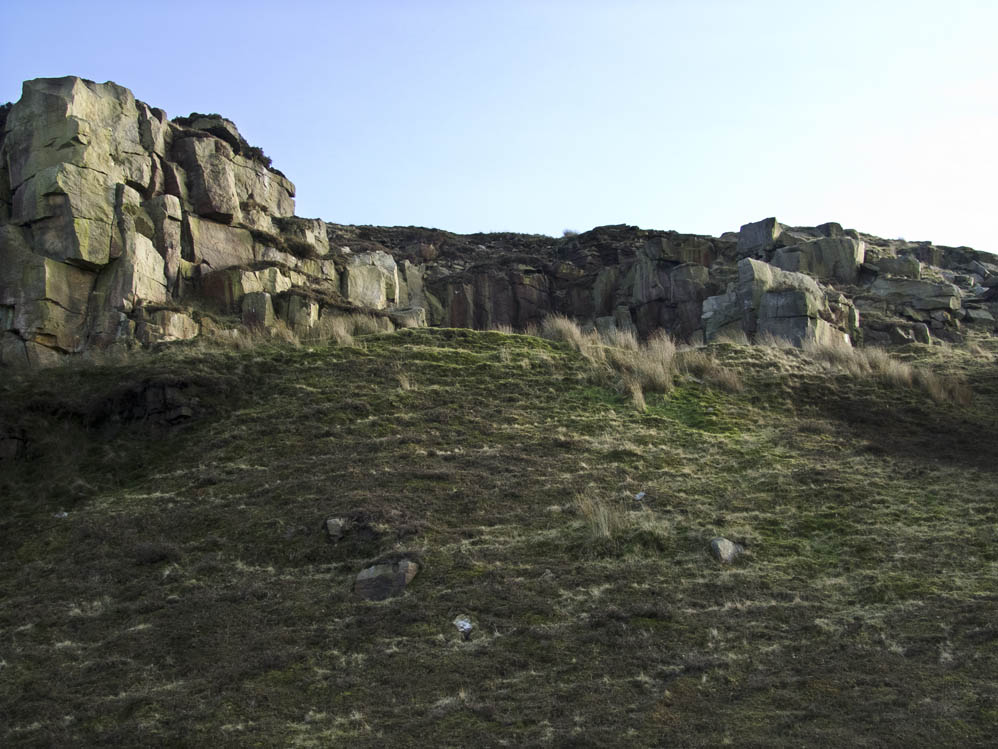
Nearing the quarries. Search for old mill stones, for there are several about
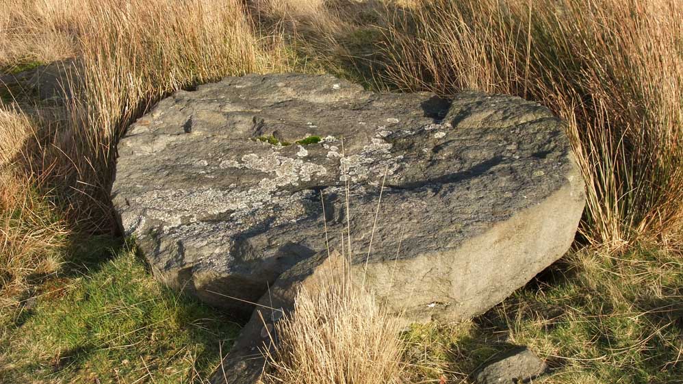
...like this abandoned stone
The Pigeon Tower or Dovecote as it is Great Hill from the quarries
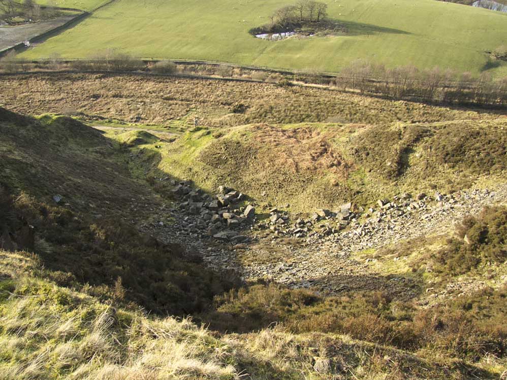
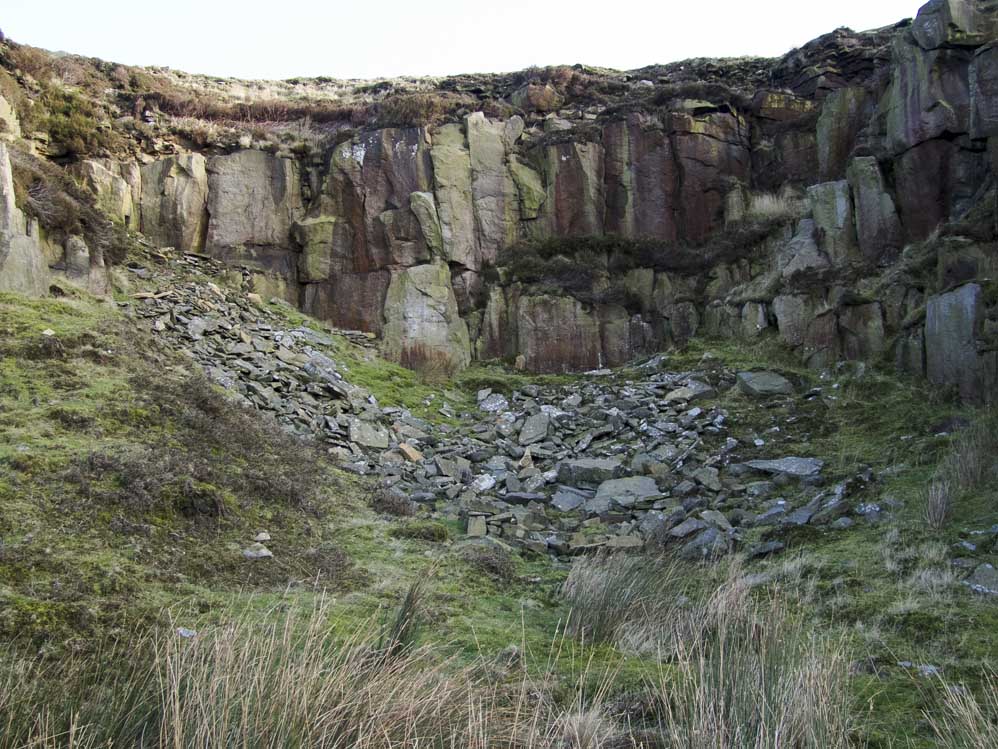
Looking down into Quarry 1
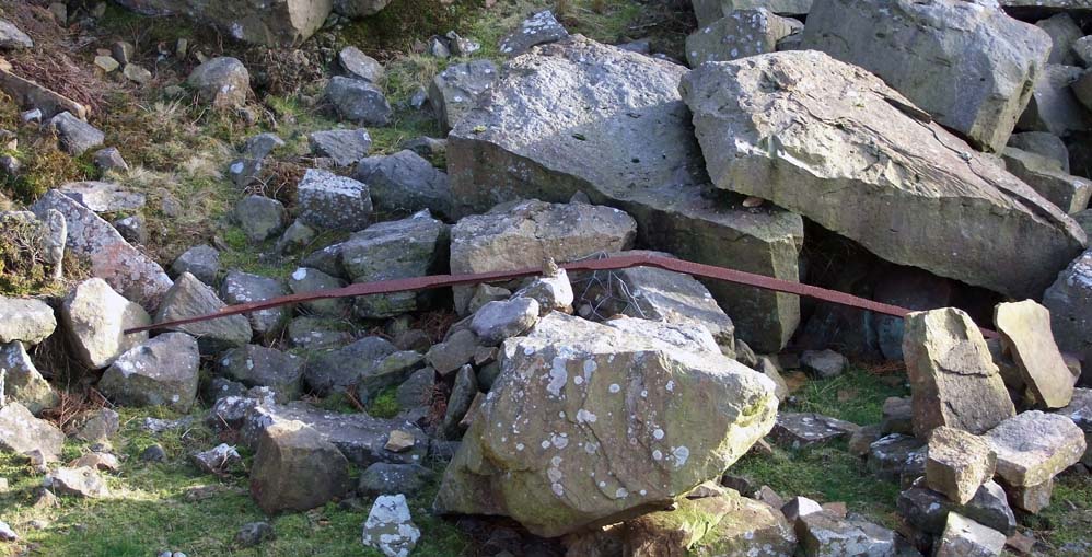
An old rail from the tracks that would transport the rock and millstones
Looking in to quarry 1
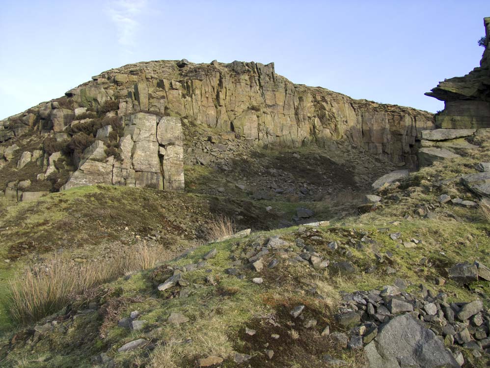
Looking up to the small quarry No2. It's a steep and sometimes slippy climb to reach it from quarry 1
Inside Quarry 2, which is not often visited
Its steep and high. Notice the two people to the left of the rock in the bottom left of the photo
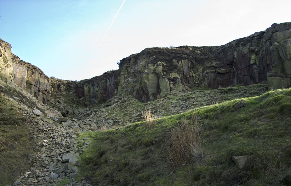
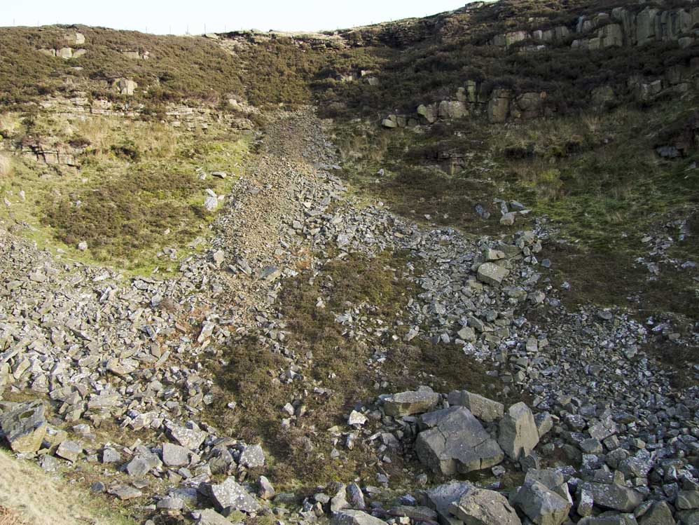
Approaching uarry 3 - the largest and most worked of the three. The grass embankent on the right originall had tracks on it and was used to tip waste down the hillside
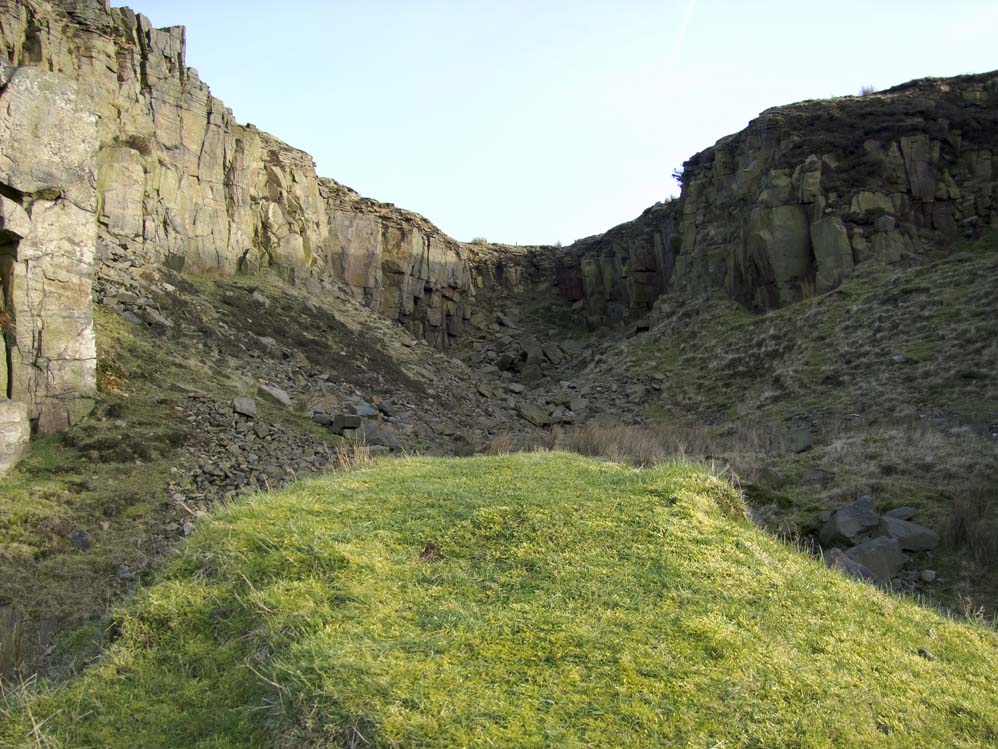
On the embankment looking into the quarry
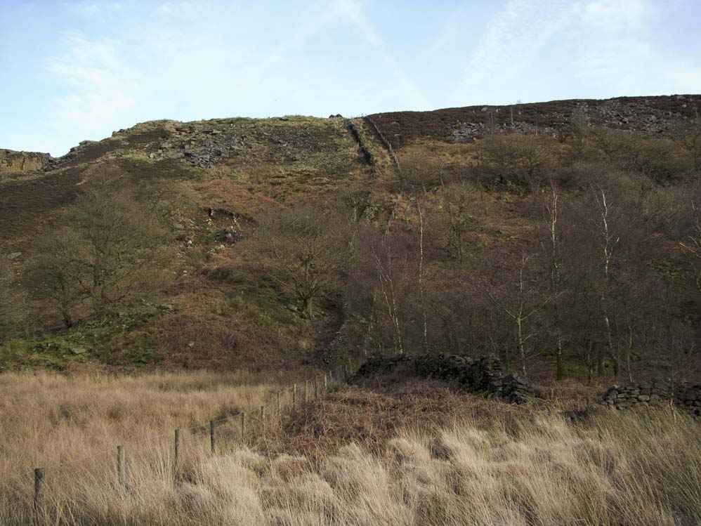
Looking back at the quarry as I made my way along the narrow path to the stone wall and fence where I would begin my descent
And here it is, steep, rocky and rough, but enjoyable!
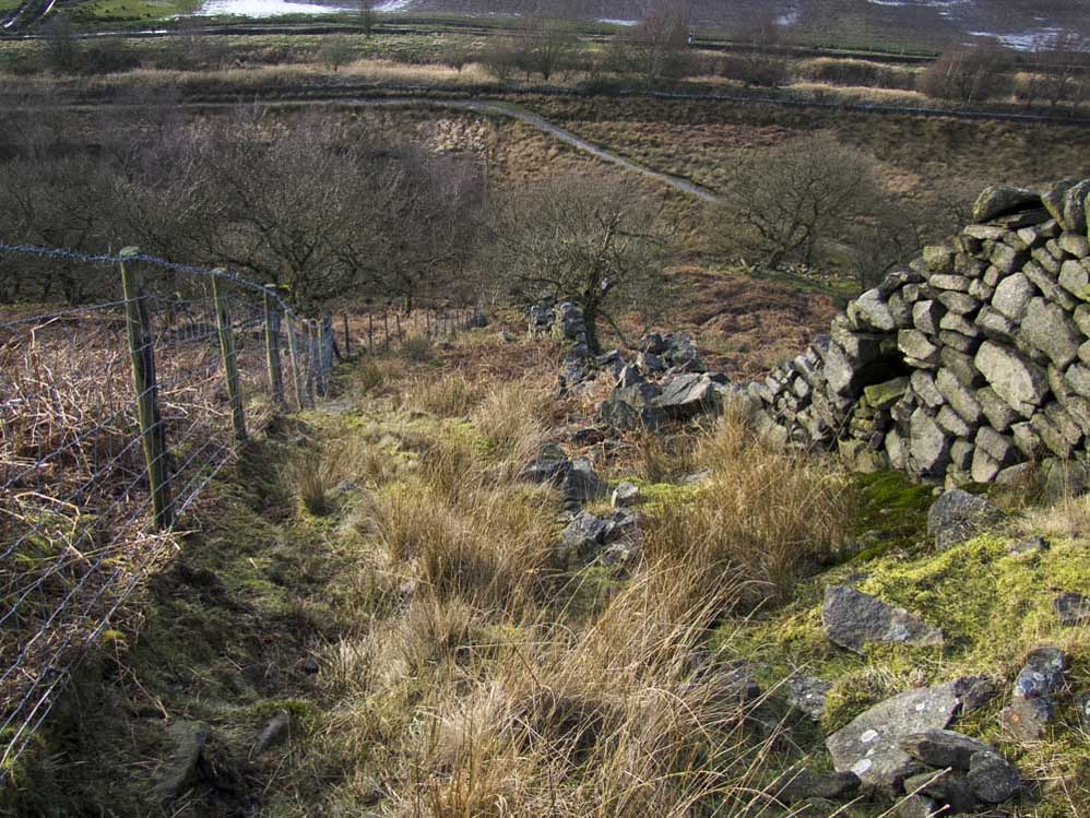
Looking back at my line of descent between the stone wall and the modern fence
The path through what used to be a section of woods called Joan Meadow Woods. It leads on to Moor Road below Siddow Fold