 |
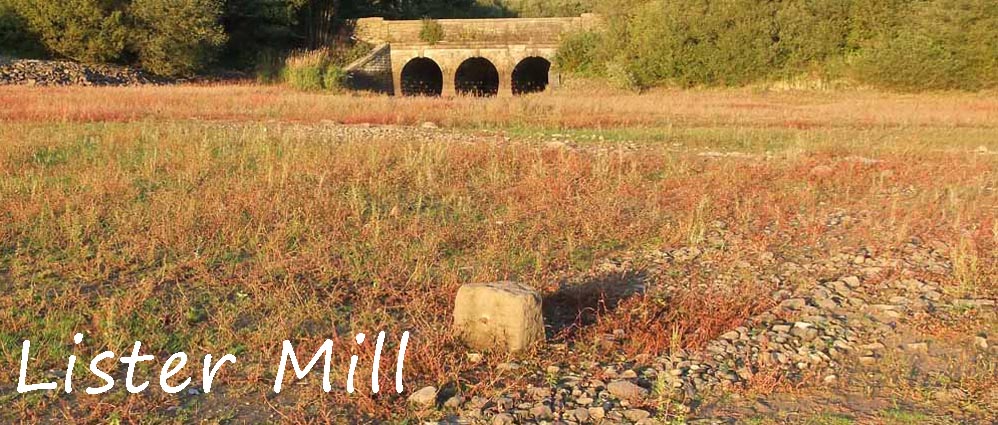
Lister Mill stood at Grid Ref 6215 1590 on a lane that ran parrellel to the present day Knowsley Lane. It met Moor Rd going up to Manor House at the point that is now a severe hairpin bend due north of Lister Mill (by the entrance to the car park of Lister Mill Quarries) There was also atrack running east upto Alance and the original Alance Bridge. The ruins that are left give a clear indication of the layout and boundary walls of the mill. Many believe it was a corn mill and some say it was a textile mill. Perhaps it was both. |
|
 |
|
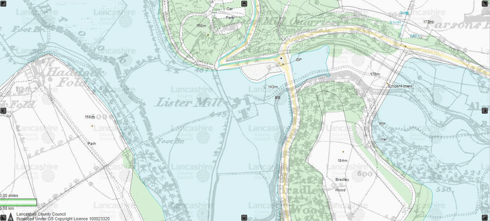
Modern day map with the old 1;10000 map superimposed on it, showing the location of Lister Mill
|
 |
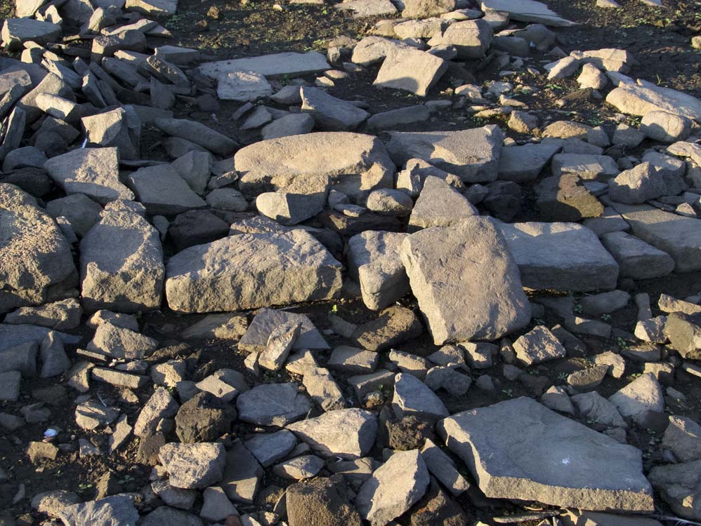
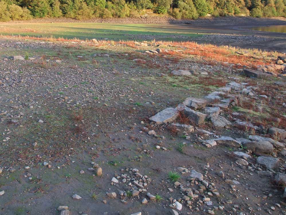
Just visible amongst the stones is the line of a wall going from middle right to top left
|
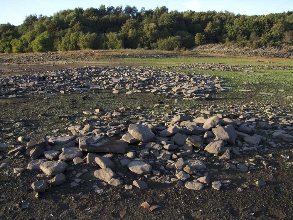 |
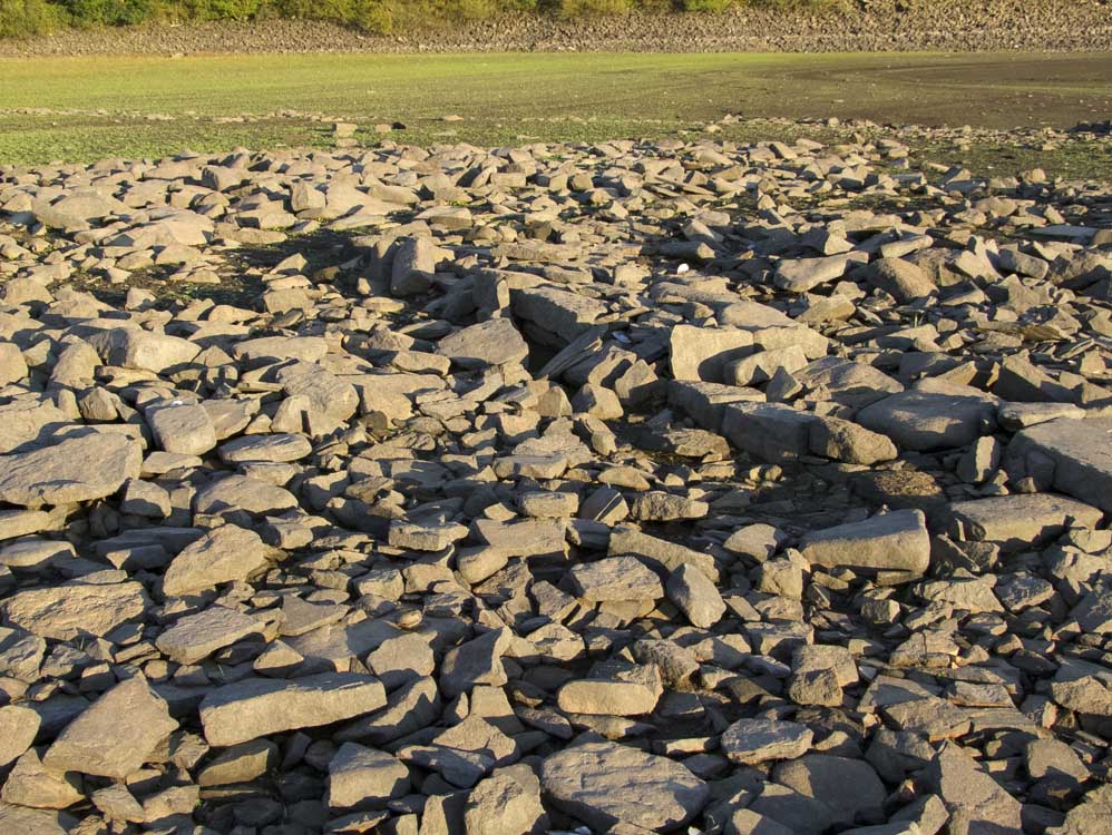
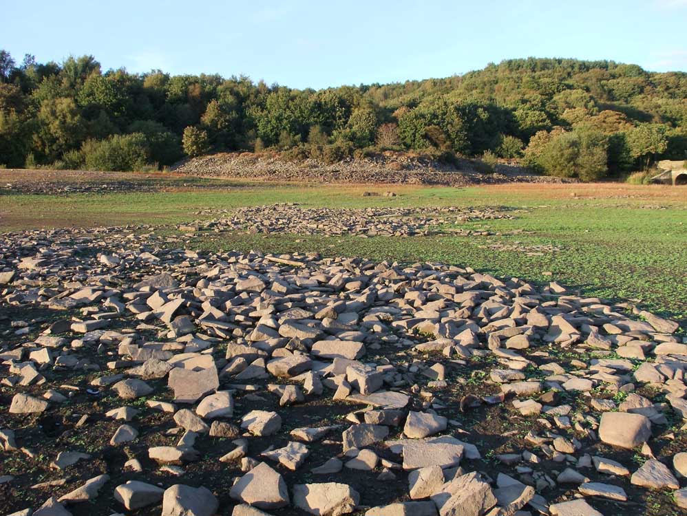
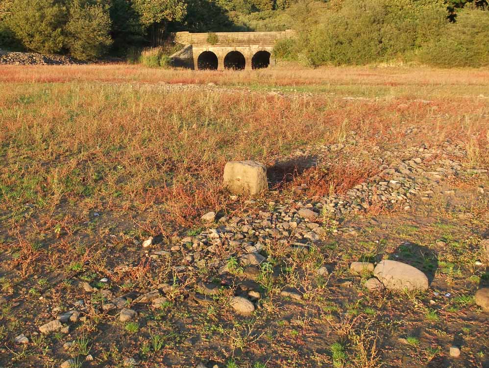
The mill was spread over this whole area
|
 |
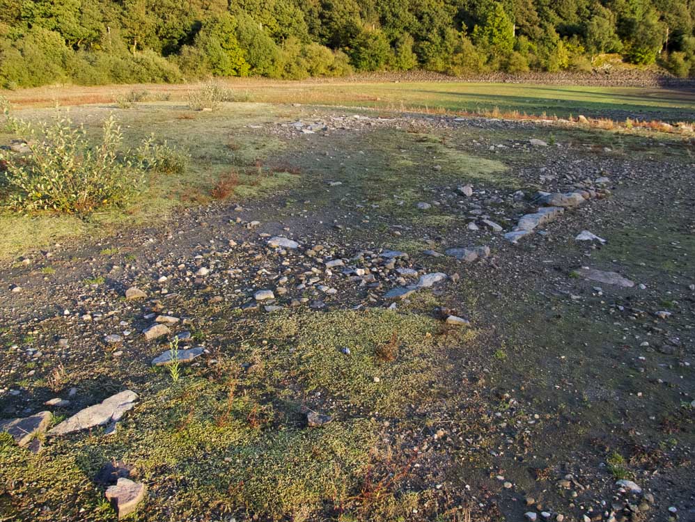
Possibly the base of another wall
|
 |
Taken from the centre of the Mill
|
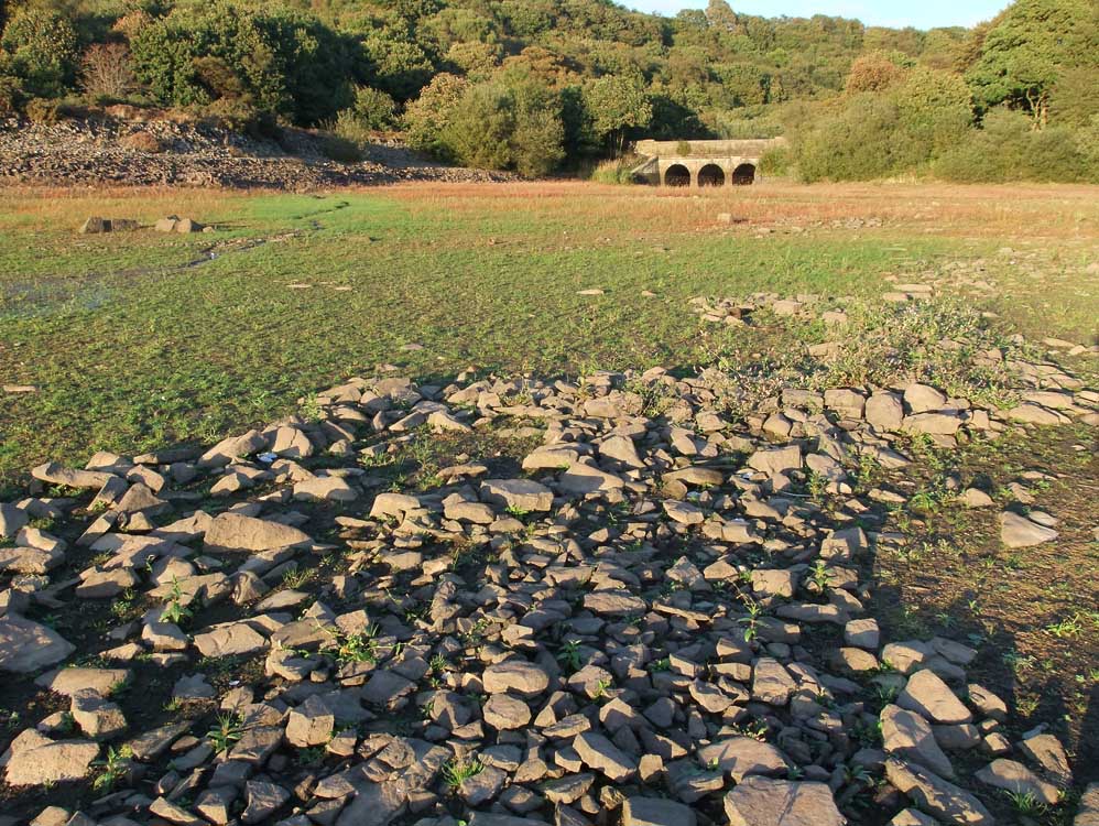 |
The track up to Alance from the mill used to go where the bridge is now
|
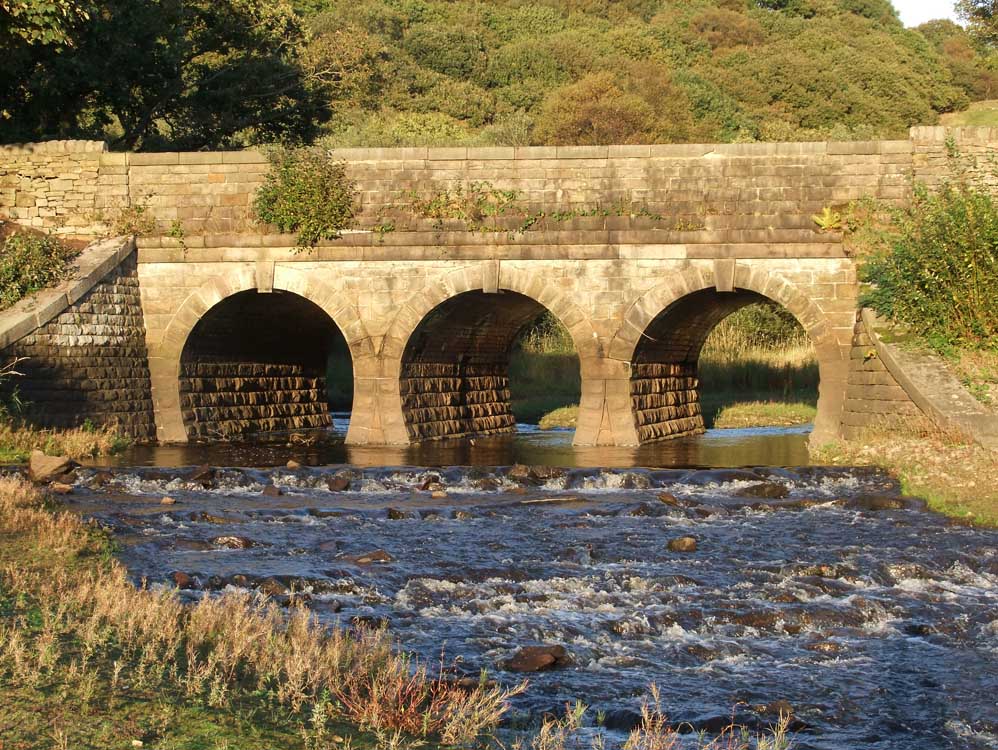 |
The bridge was built to carry the new road - the old one passed by the mill as can be seen on the map above
|
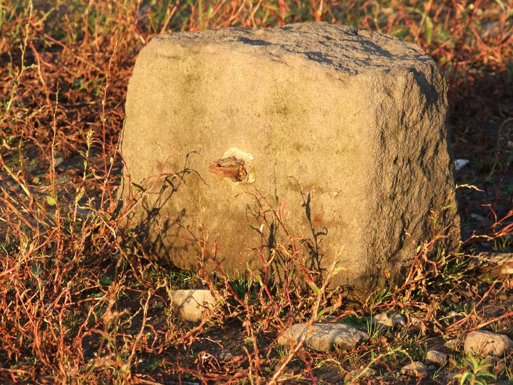 |
The remains of one of the mill's gateposts
|
 |
| Shown here with what looks like the remains of a wall |
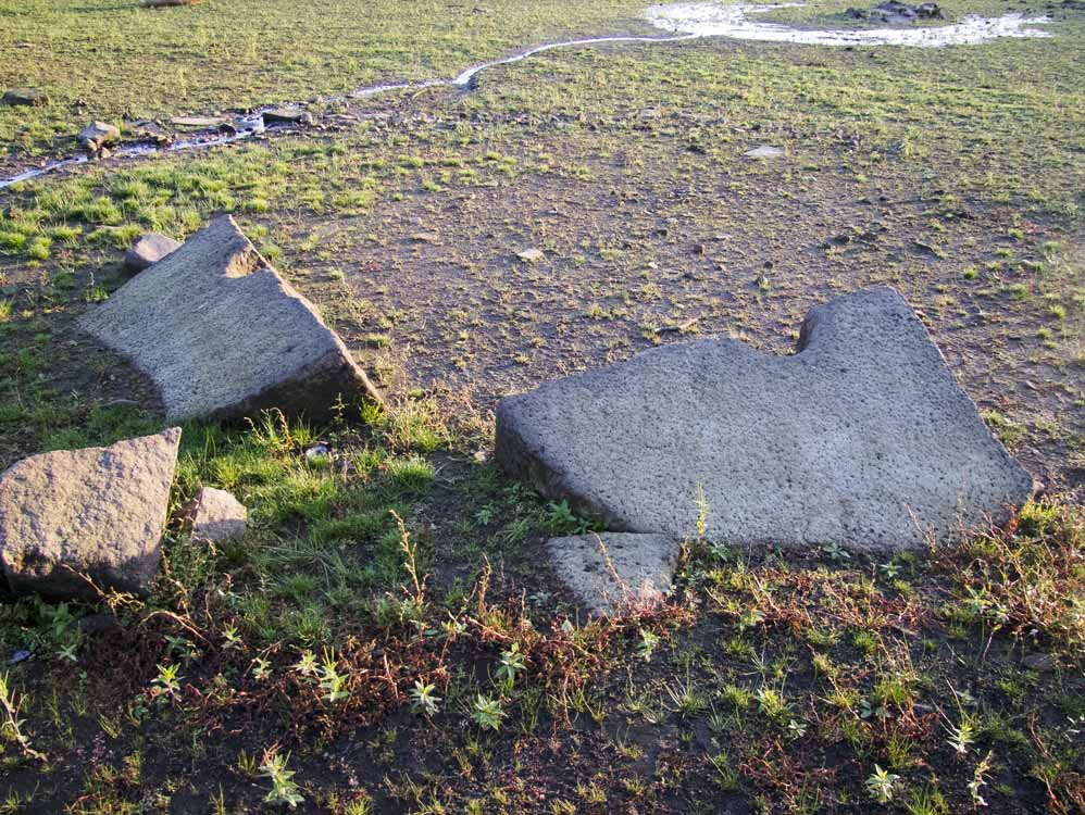 |
| Two halves of a large stone that used to have a spindle through it. At first I thought it was a large millstone, but then saw that both halves had a sloping flat base, as if it was stood upright on the flats |
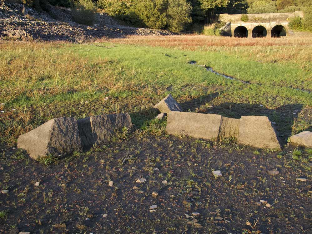 |
Another view of the stones clearly showing the angle of the straight edge
|
 |
The corner of a building
|
 |
Another wall. |