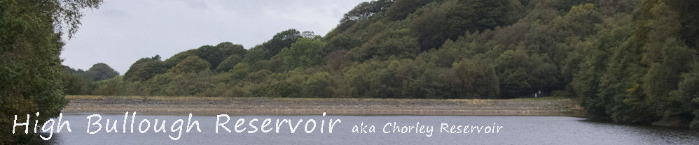
In 1850 Chorley was growing, like many other towns in the area, . A larger population and more industry meant there was increased demand for water and Chorley's existing small reservoirs were inadequate. So, in 1850 Chorley Council decided that a new reservoir would be built at Anglezarke, below a house called High Bullough. John Frederic Bateman of The Chorley Water Company designed it and started work on it in 1850. It was named Chorley Reservoir
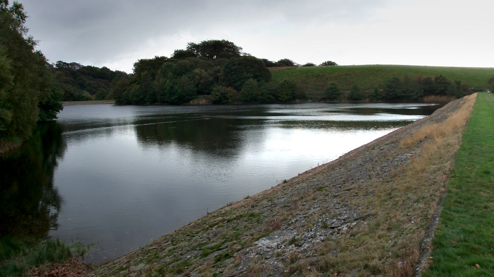
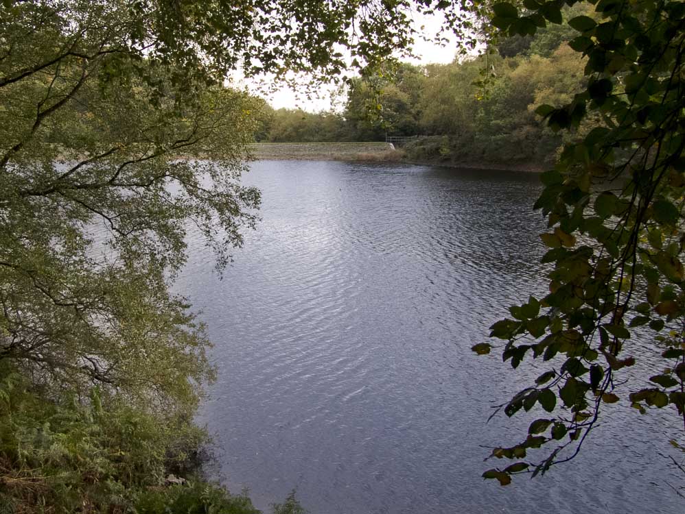
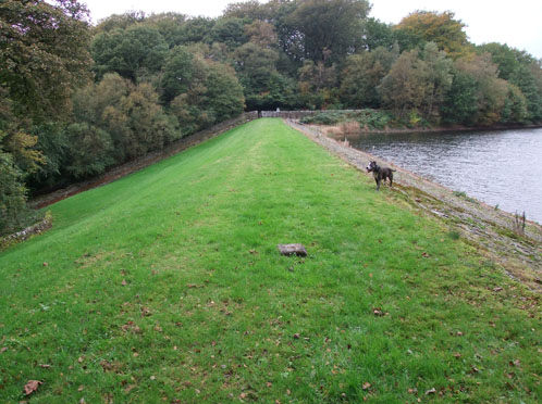
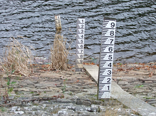
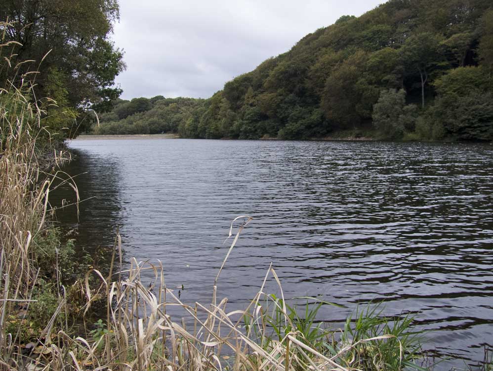
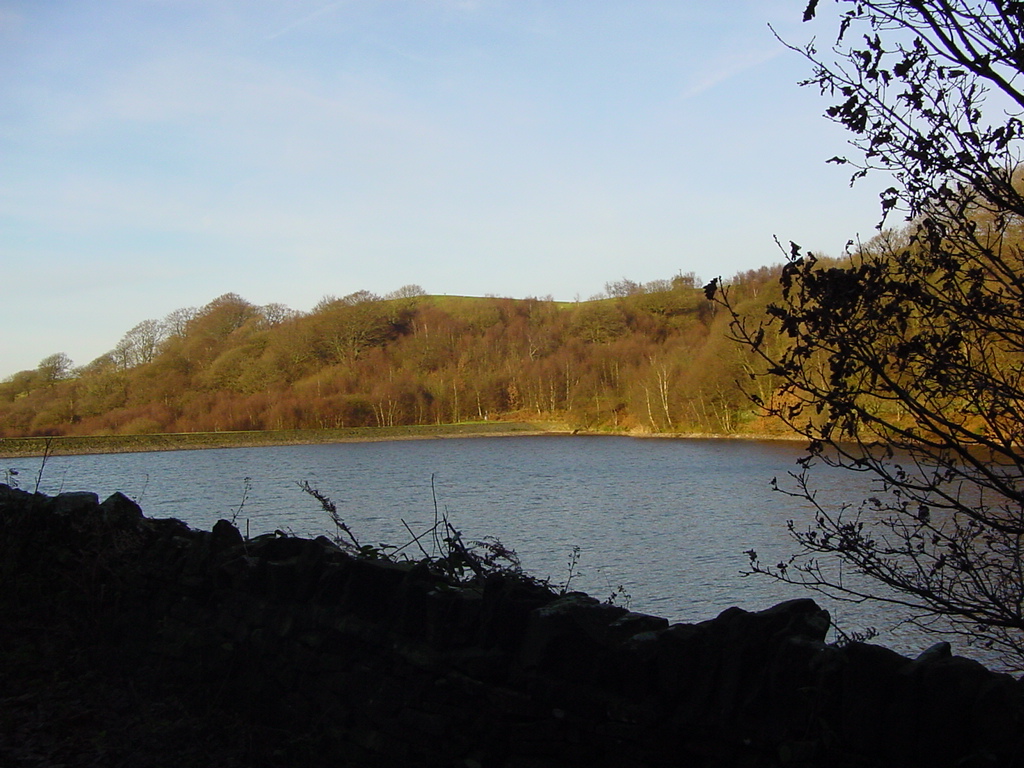
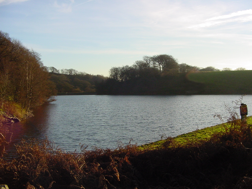
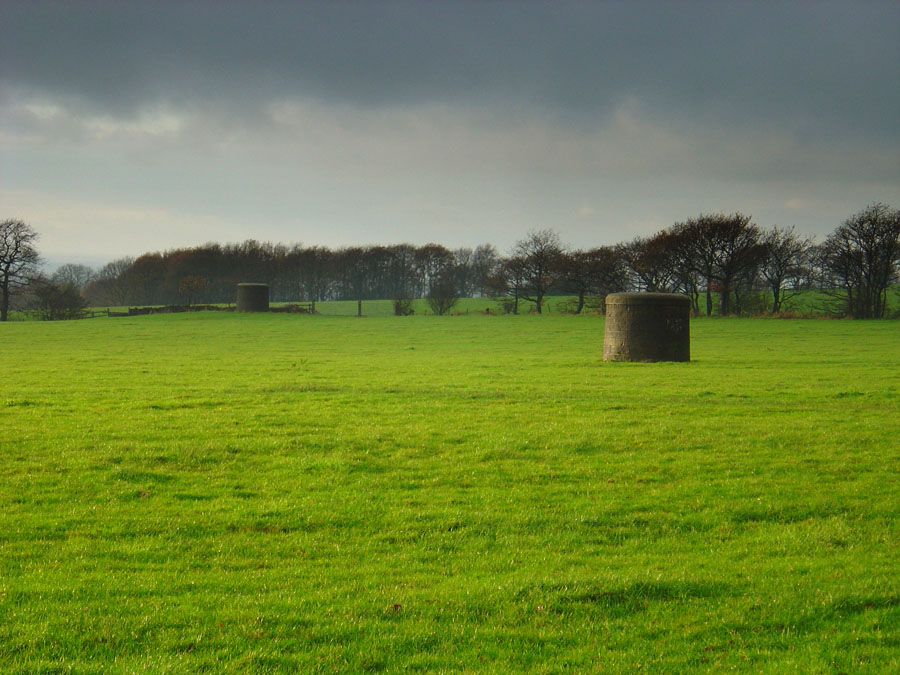
The reservoir has a surface area of 6.9 acres with a perimeter of 0.6 miles. It has two embankments that are, in total, 330 yards long, one to the north and one at the southern end. It can hold 48.3 million gallons of water and is approximately 40 feet deep. Water outflowed from the northern end and was carried by a 12 inch pipe down to a holding reservoir near Crosse Hall Lane. That pipeline goes below what is now Anglezarke reservoir.
In 1857, Liverpool started work on 3 new reservoirs at Rivington and took responsibility for Chorley's water supply. To avoid confusion with the reservoir near Chorley, Chorley reservoir was renamed and took the name of the house above it, namely High Bullough. High Bullough House was later renamed "Manor House", the name most people refer to it as today. With regard to High Bullough reservoir, well to me it is, and always will be "Chorley Reservoir".
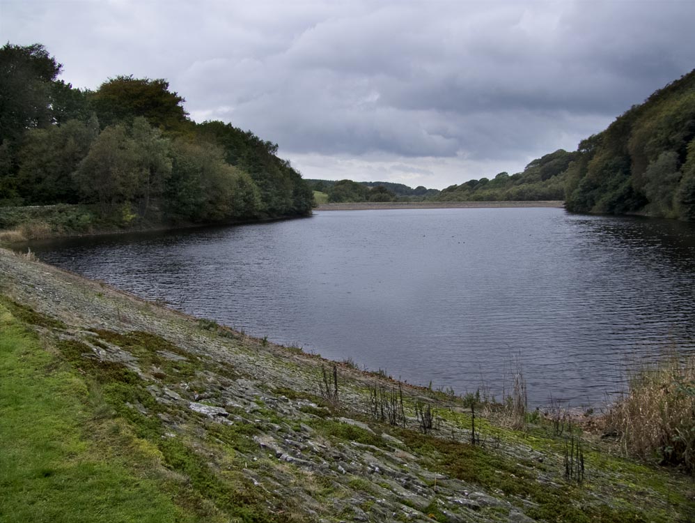
The reservoir is now disconnected from the water supply but will still contribute to Anglezarke Reservoirs supply in times of heavy rain. High Bullough's only overflow, that being at the southern end, discharged into Anglezarke Reservoir, just north of Lister Mill Quarry.
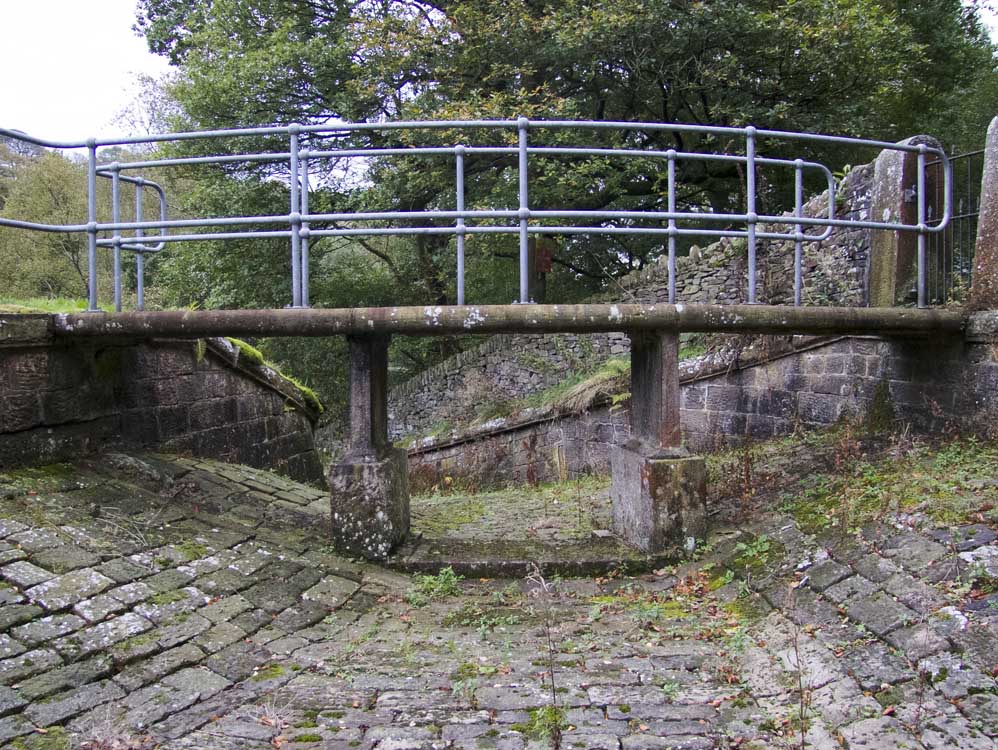
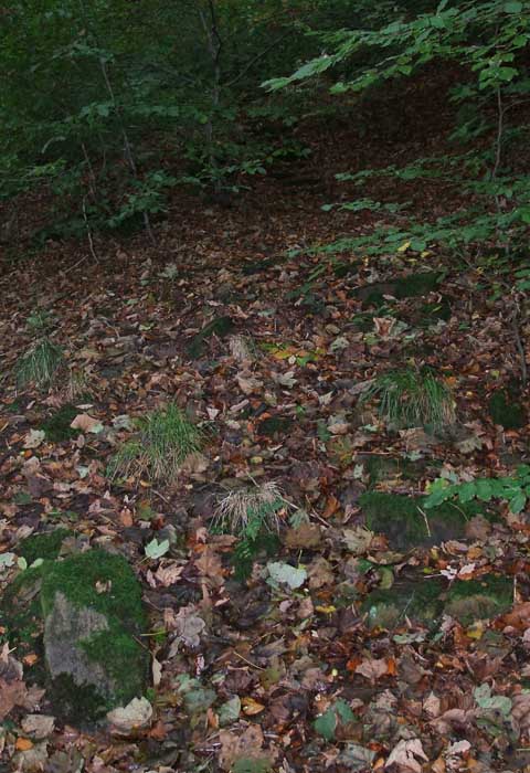
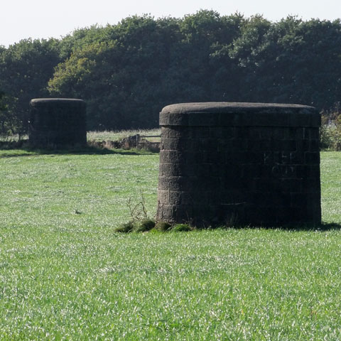
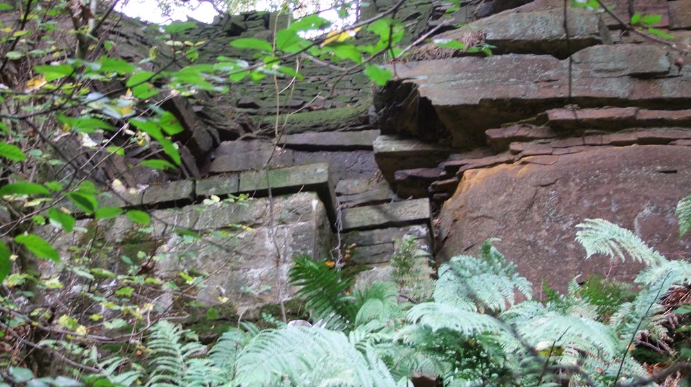
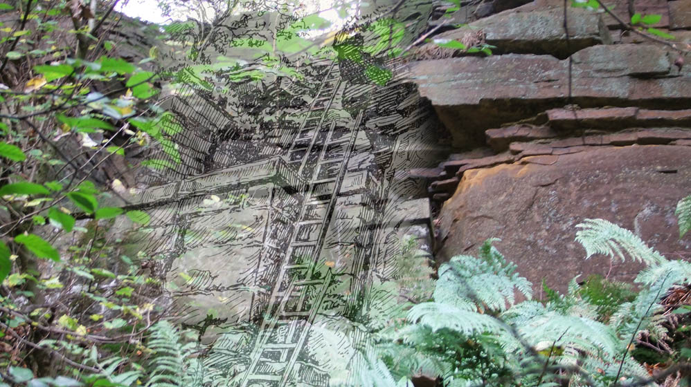
At the western end of the north embankment the ruins of Brook House can still be seen including two stone window sills. It was demolished to allow the north embankment to be built
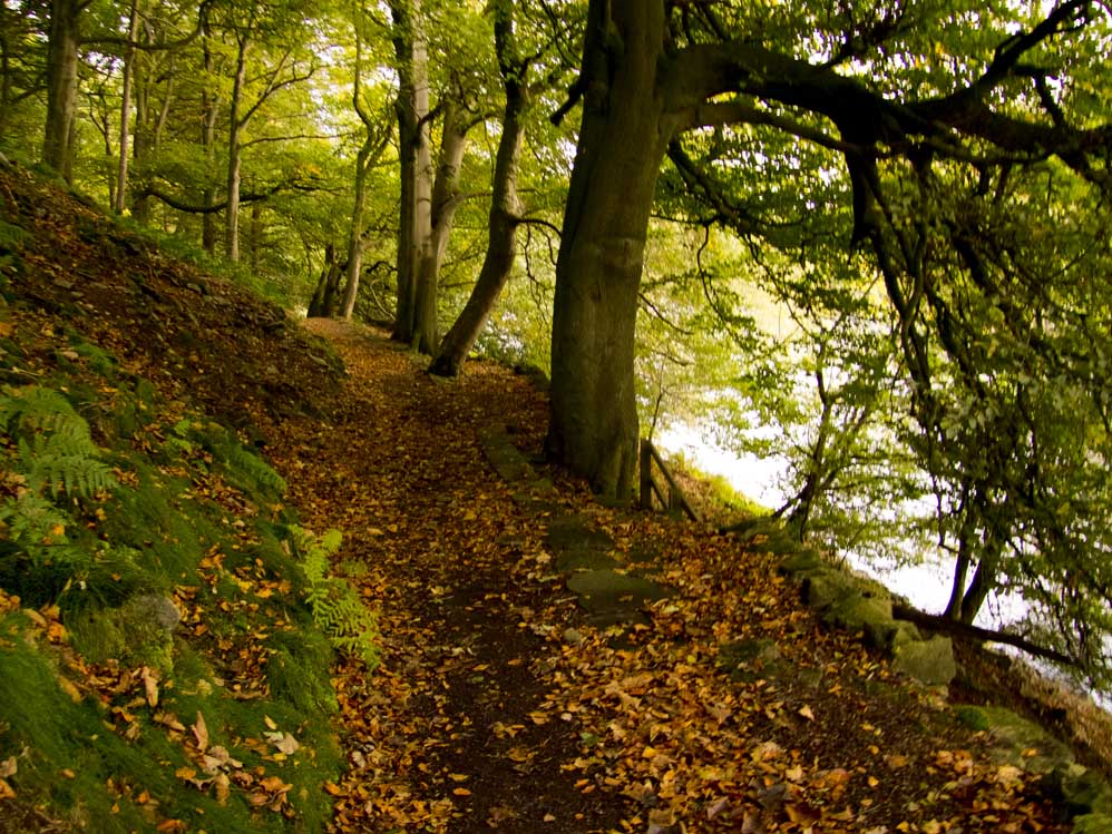
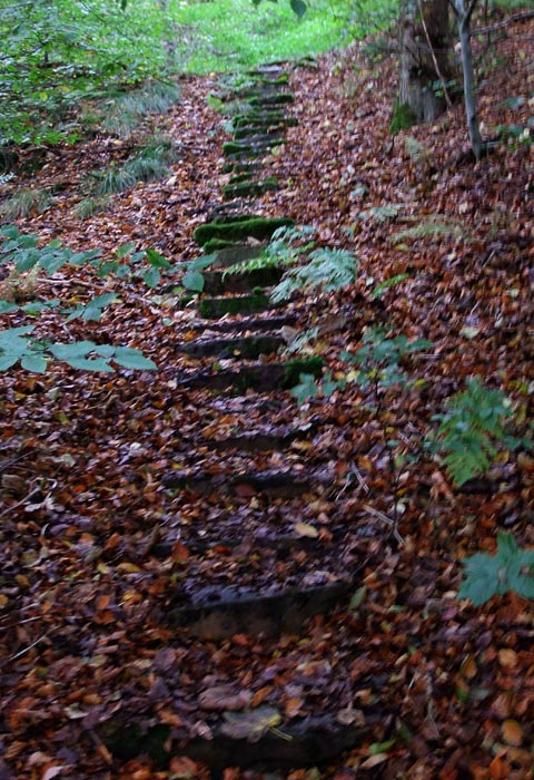
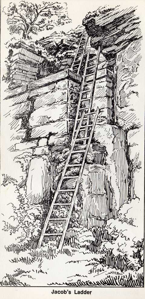
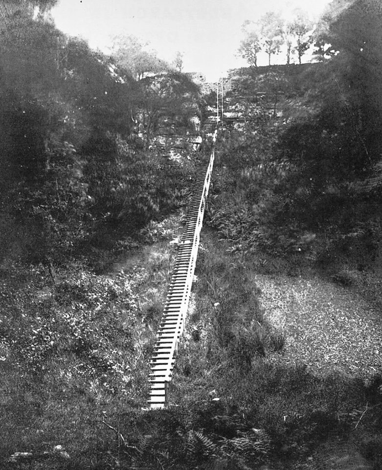
Footpaths Although it is possible to do a circular walk of the reservoir it can also be included in the walk round Anglezarke reservoir. Whatever you chose, ensure you visit Jacob's Ladder.
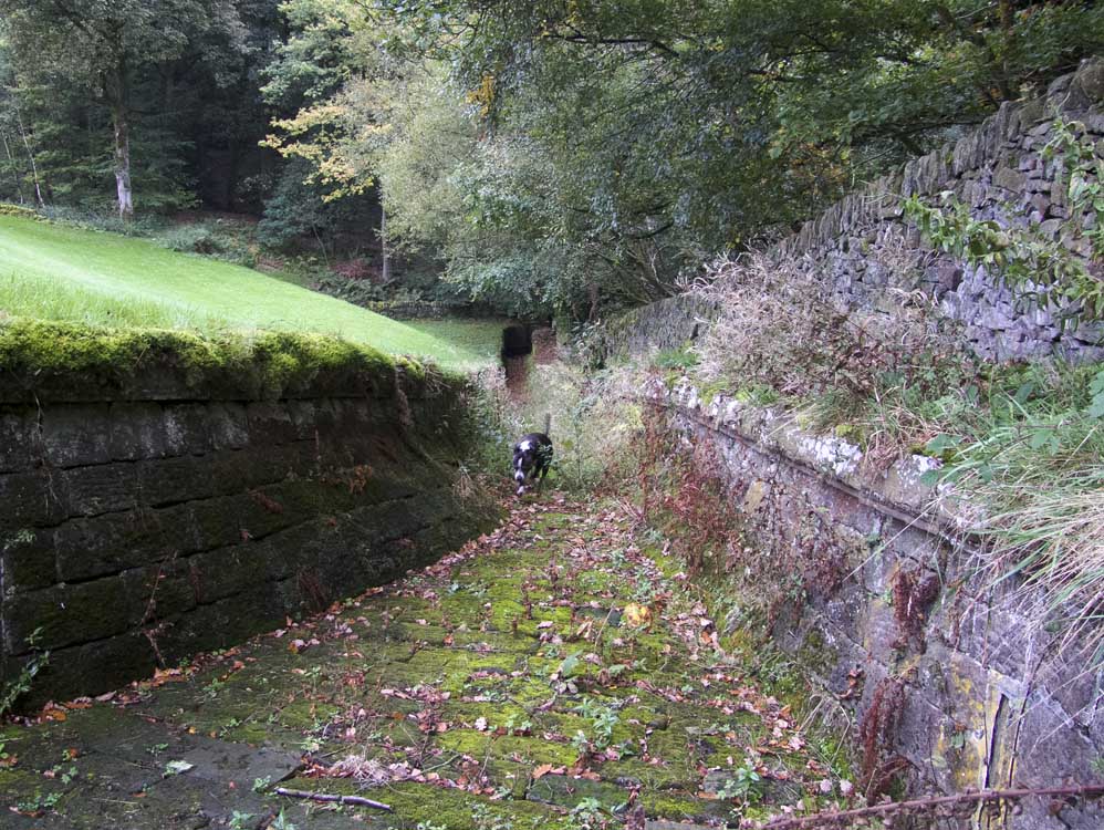
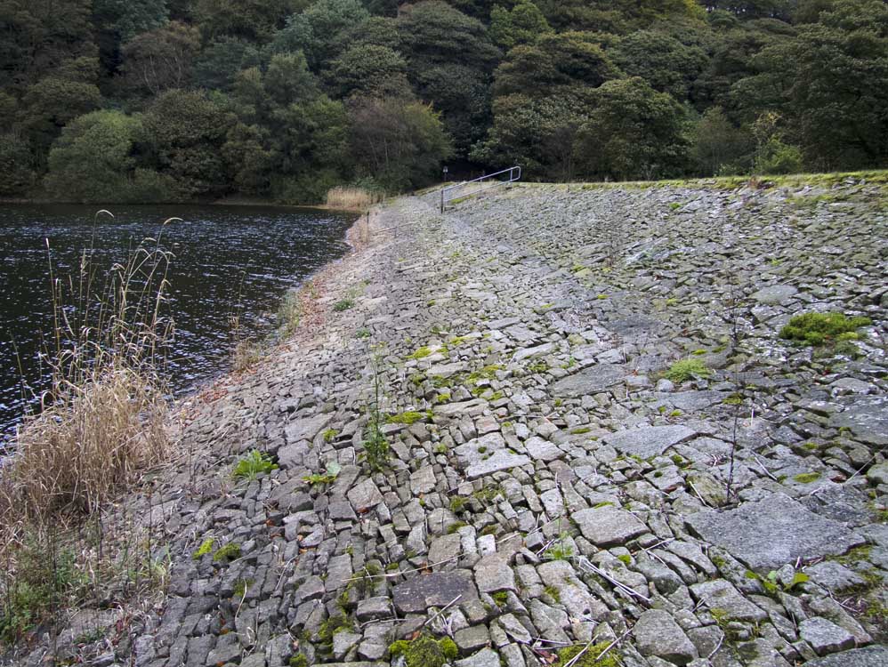
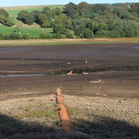
Below the surface Other than Brook House, nothing else was lost below the waterline. In Febuary 2020 the reservoir was fully drained to allow for mandatory examination and maintenance. Click the "Below the Surface" button above to see photo's I took on 7/2/20.
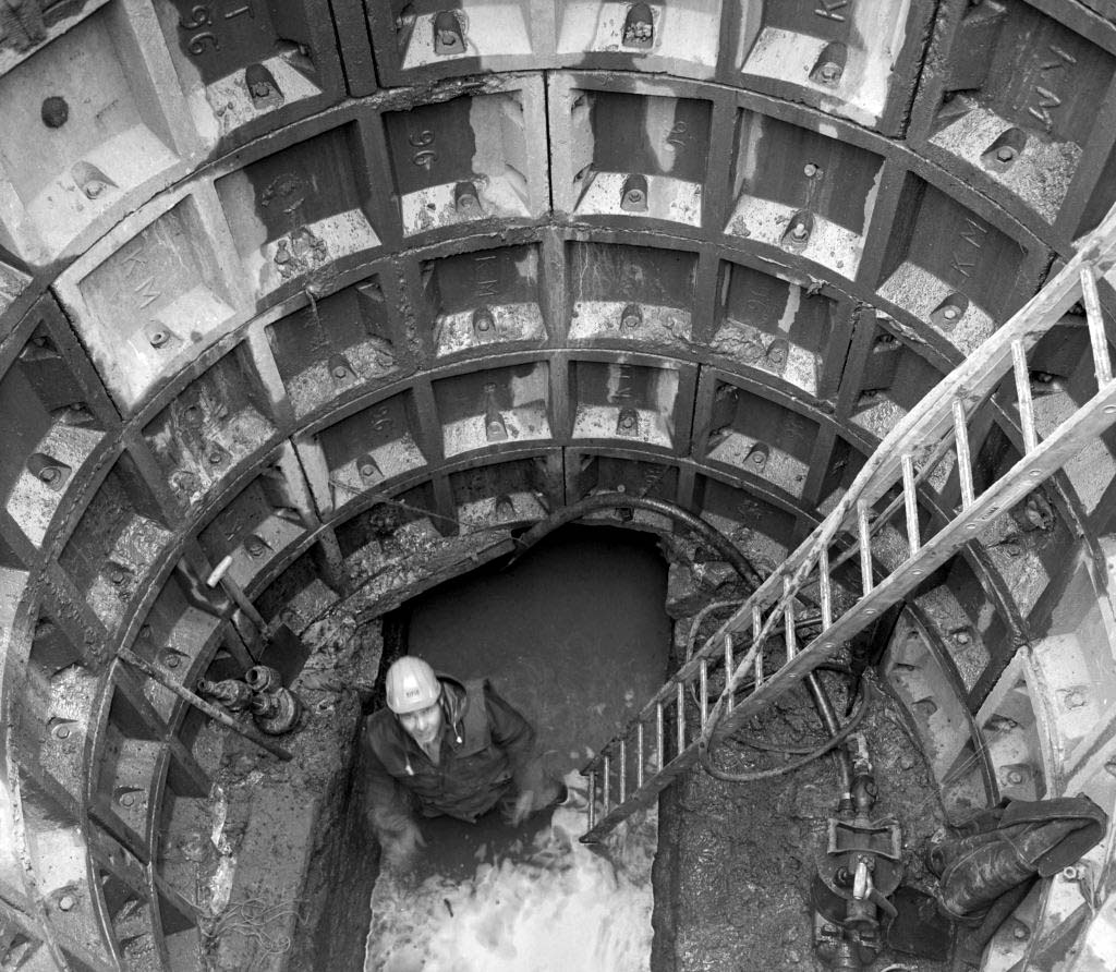
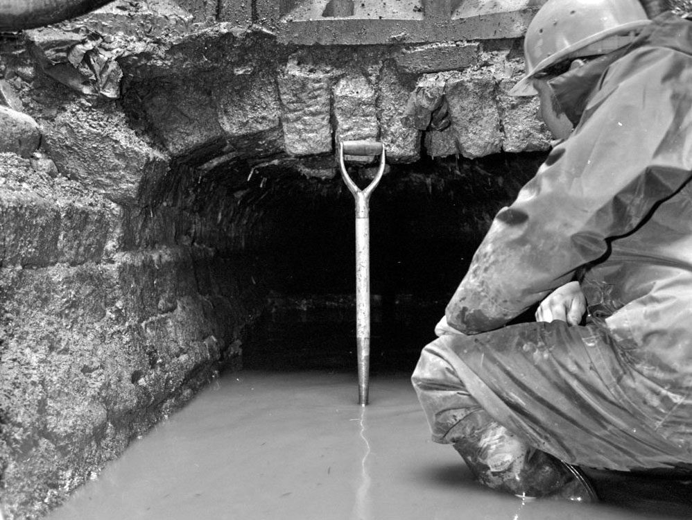
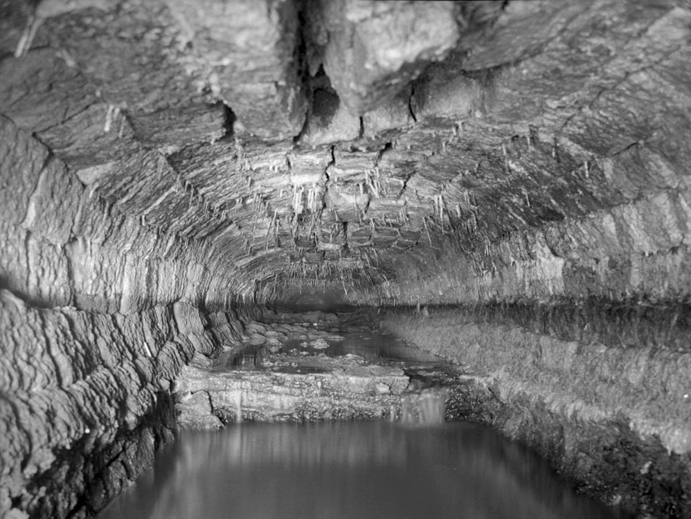
Though not technically beneath the water, I have three photos of the pipeline from High Bullough to a reservoir that was west of Anglezarke reservoir. In the 1980s the stone tunnel collapsed and repairs had to be made. The collapse occurred a little to the west of the valve on Anglezarke's west shore. Thanks to Boyd Harris, who has kindly supplied me with three photo's of the orininal stone tunnel. They are the last three below.