|
|
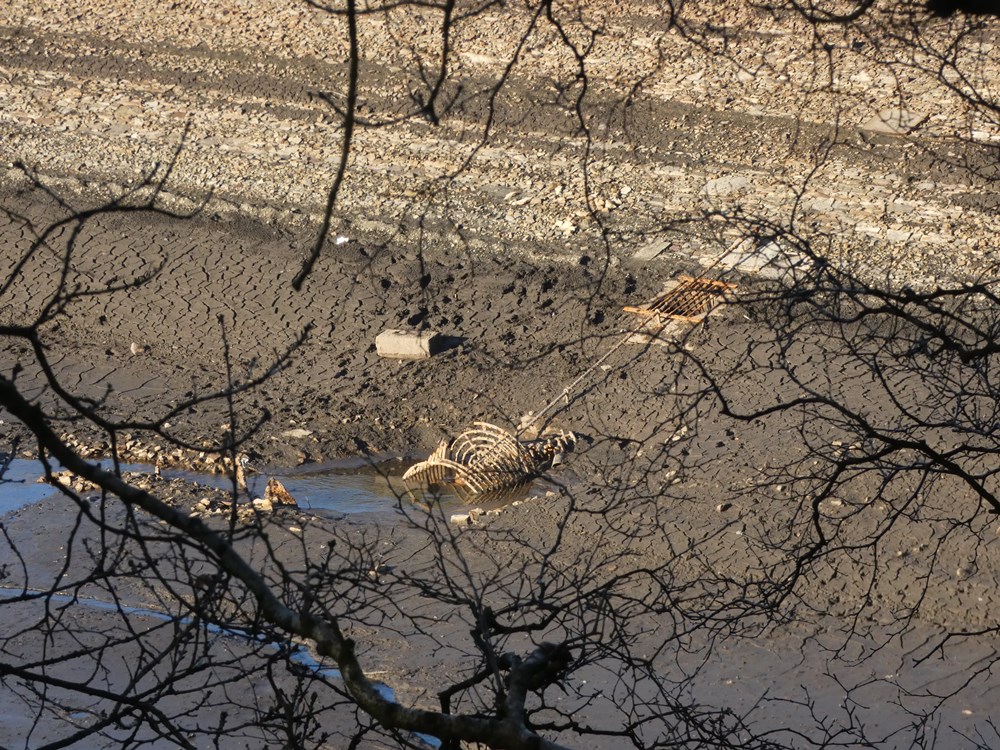 |
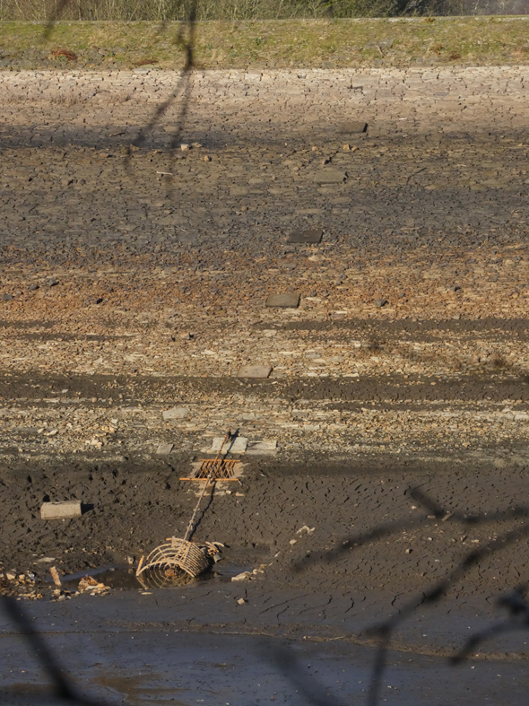
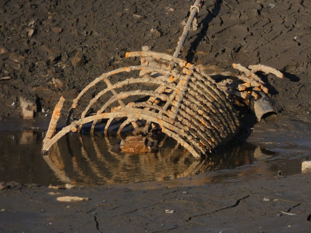
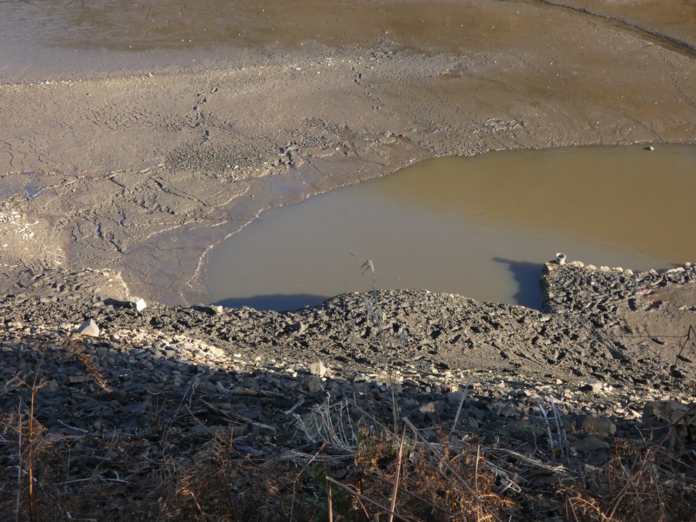
Outlet - with partly damaged cage |
|
|
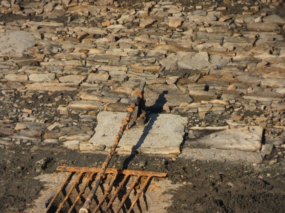
This used to have an opening / closing mechanism that ran to the top of the embankment and was anchored on each of the slabs going up the embamkment
|
|
A close up of the mechanism, which has not seen the light of day for decades
|
|
Above the outlet cage is this covered shaft
|
|
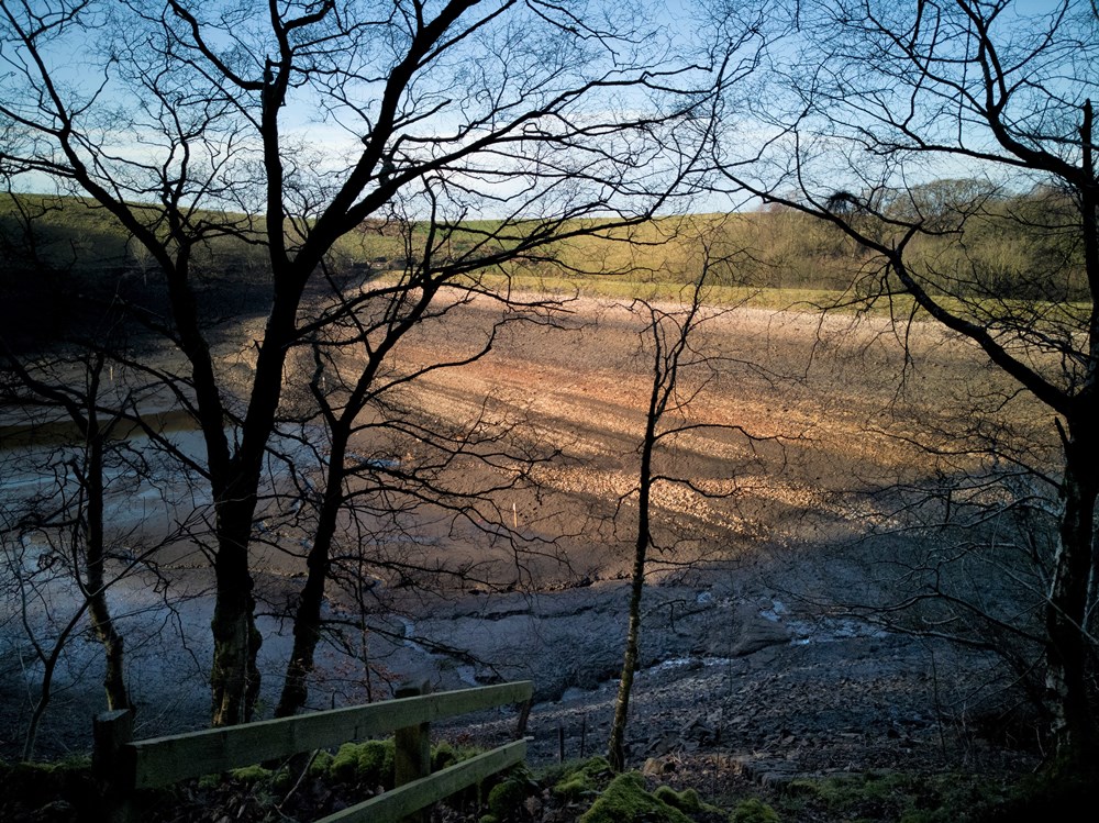
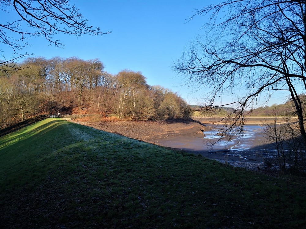
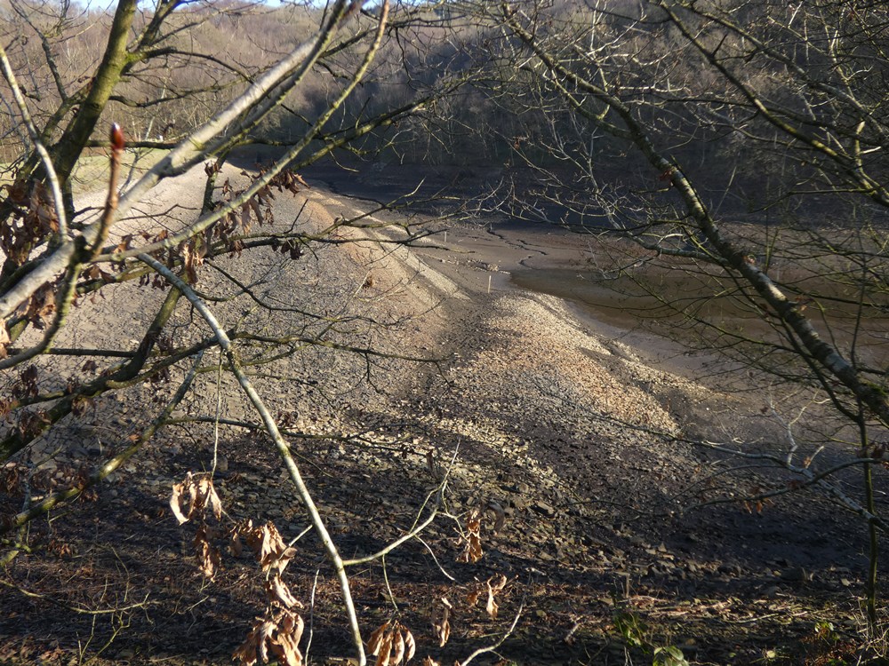
Taken from the eastern side of the reservoir
|
|
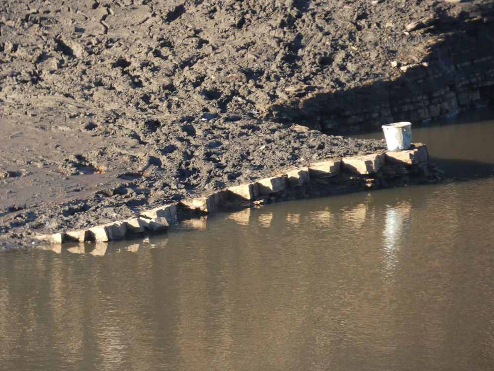
Natural strata and an unnatural bucket
|
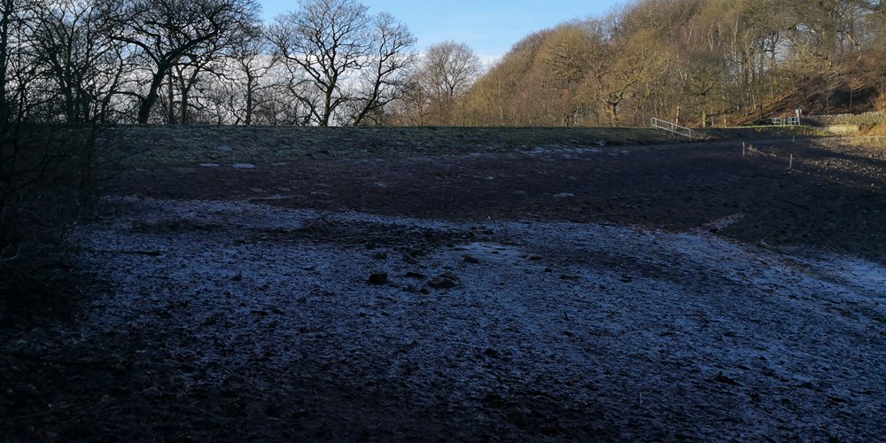 |
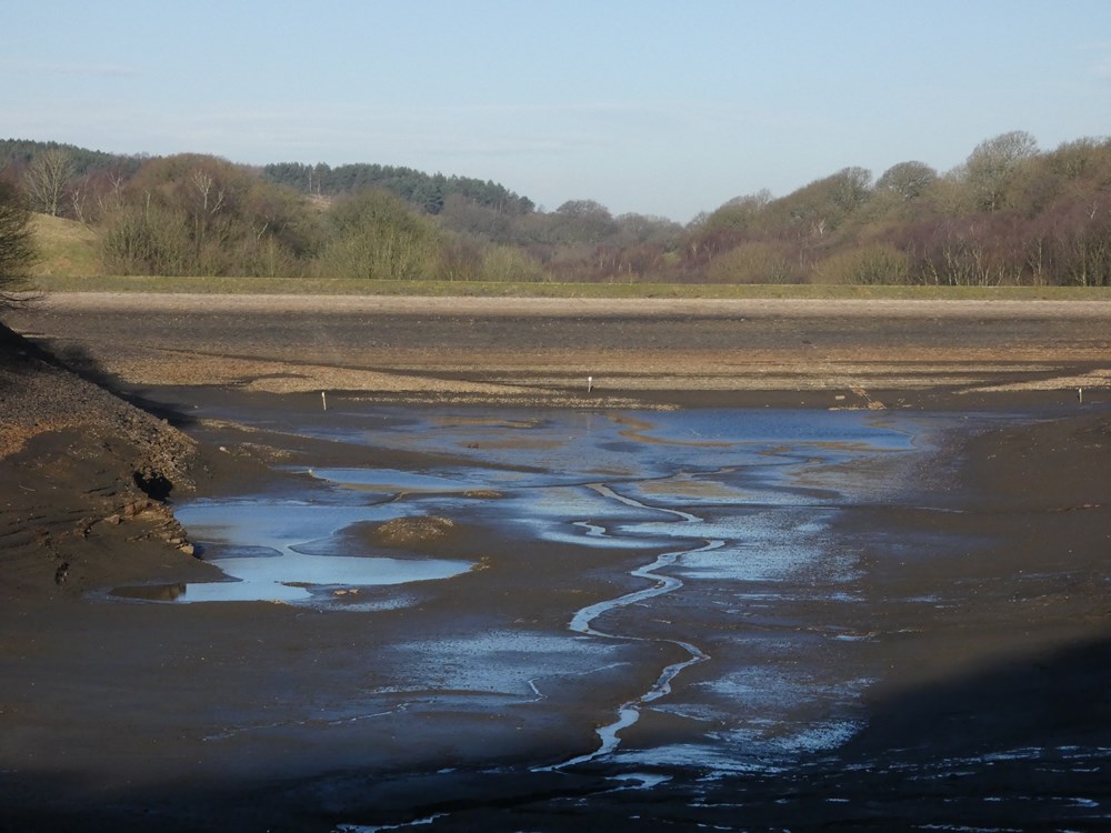
The south eastern corner and it was covered in frost as the sun hadn't got high enough to thaw it
|
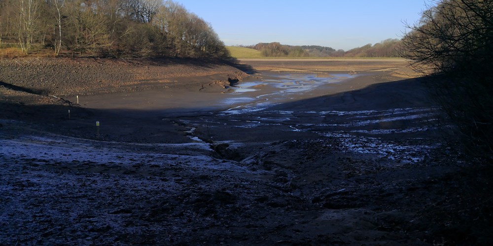 |
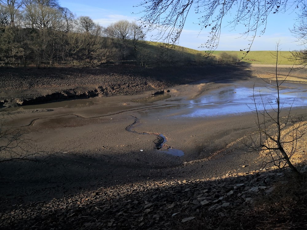
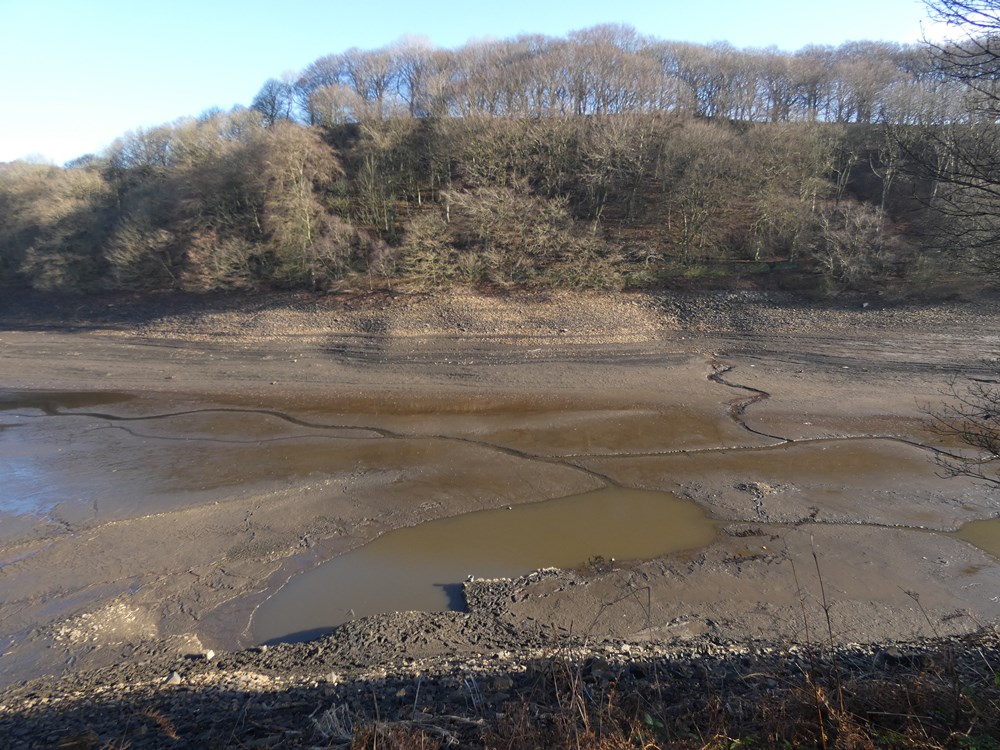
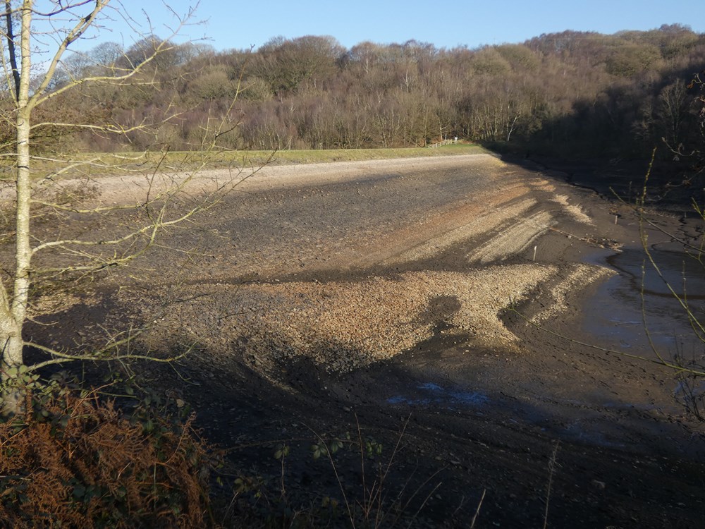
Looking from the south embankment
|
|
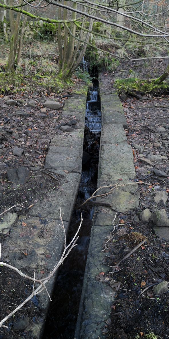
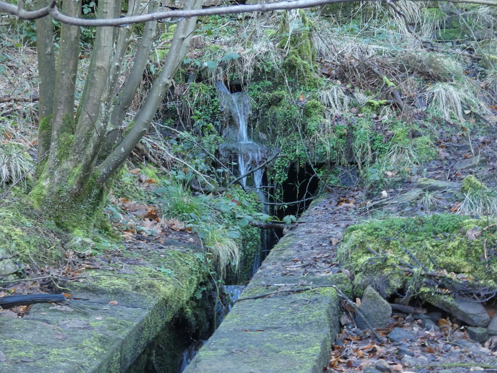
The Victorians certainly built things properly. This was built to safeguard the reservoir bed. It's an inlet from the hills above. Always underwater - but not now!
|
|
Looking up the same inlet - note how there are two in flows - one above the other
|
 |
Looking over the reservoir to the north embankment
|
 |
|
|
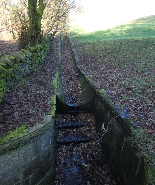
The main overflow - which discharges in Anglezarke reservoir
|
 |
|
 |
Is this an old outlet to the disused reservoir beyond Anglezarke reservoir?
|
 |
|
|
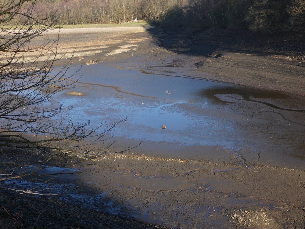
A solitary rock in the middle of the reservoir bed
|
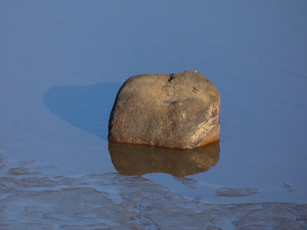 |
The rock - it wont be seen again for a very long time
|
 |
What looks like a track heading down the embankment - possibly built to allow removal of earth when building he reservoir. There are two tracks going down from the gat at the North west corner
|
 |
Another view of the track
|
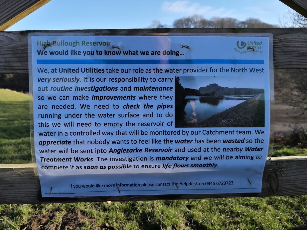 |
United Utilities explain why the reservoir is empty
|
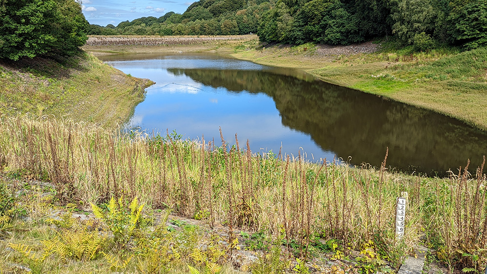 |
| Since the photo above this one (taken in 2020) United Utilities has let some water be returned - but sadly not to its original levels |
| |
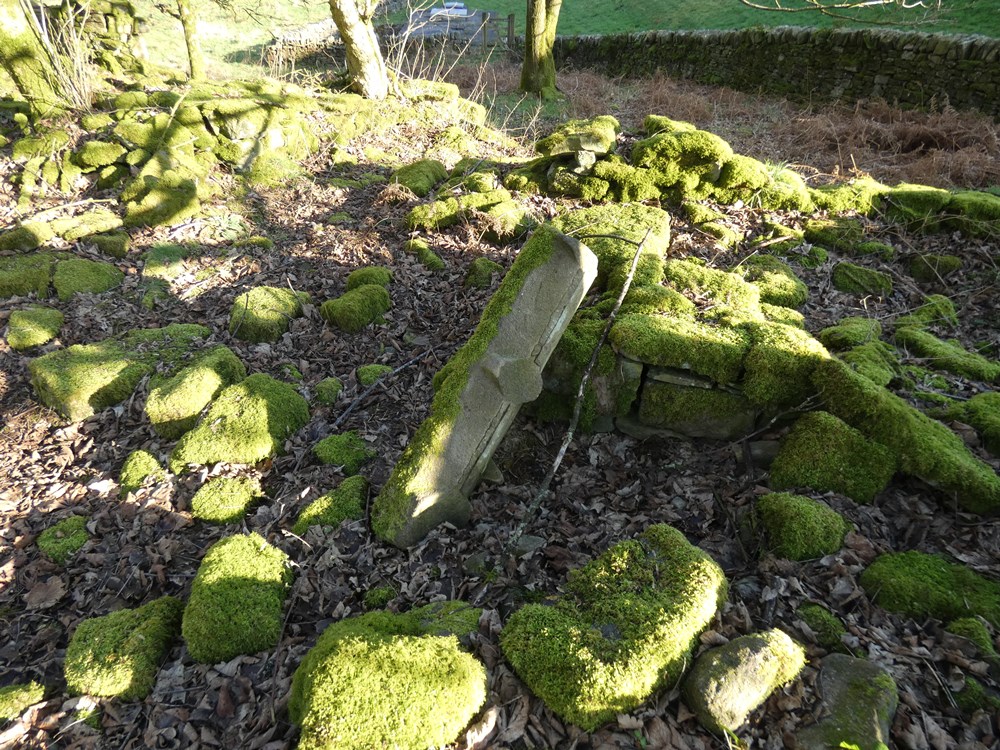 |
Window sill at Brook House which was next to the northern embankment |
|