During the summer of 2013 Anglezarke and Yarrow reservoirs got very low, and below are some photos of the reservoir and their beds
| Below the Surface - Photo's | ||||
During the summer of 2013 Anglezarke and Yarrow reservoirs got very low, and below are some photos of the reservoir and their beds |
||||
 |
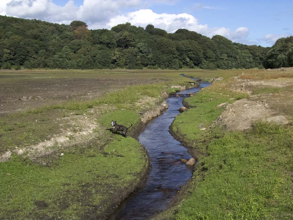
August 2013 and this is all that was left of the water by Heapey embankment. By September this had halved in size |
 |
An old window sill. Whose face had peered through the glass above I wonder?
|
 |
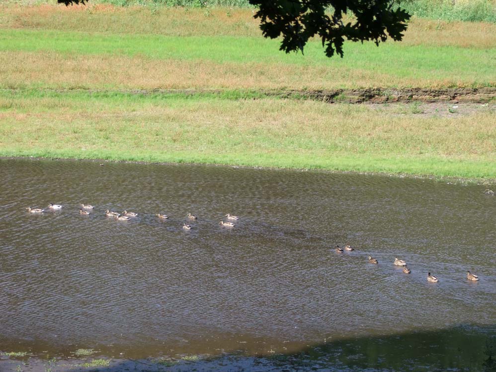
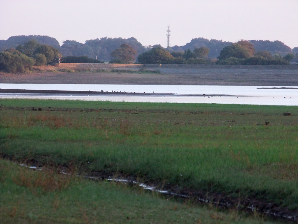
This is the trickle that is supplied by the goit. This is half a mile from the Heapey embankment
|
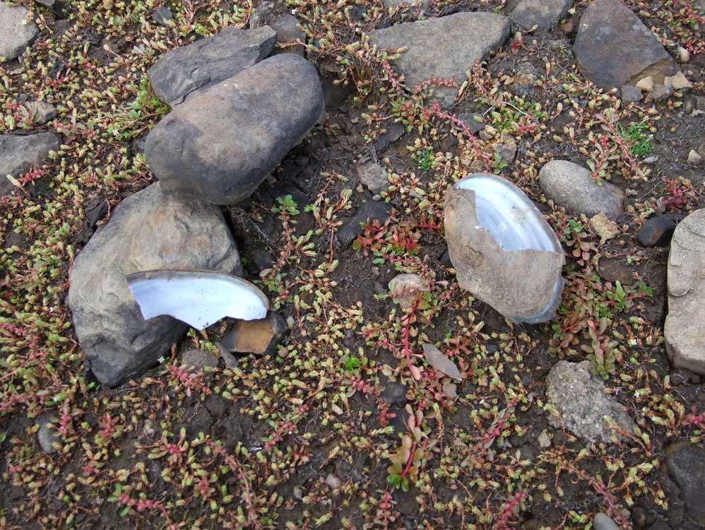 |
Freshwater mussel shells are strewn all over the bed as birds crack them open
|
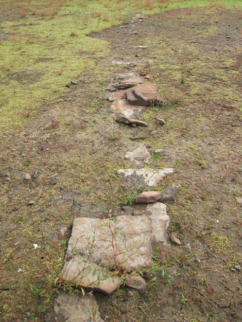 |
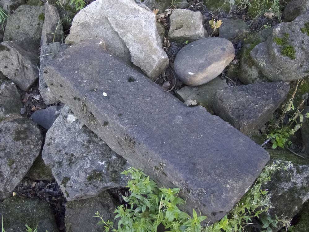
The remains of a dry stone wall - which is shown on old OS maps prior to the reservoir's construction
|
 |
The Nab across a dry reservoir bed
|
 |
Zooming across to the Charnock embankment
|
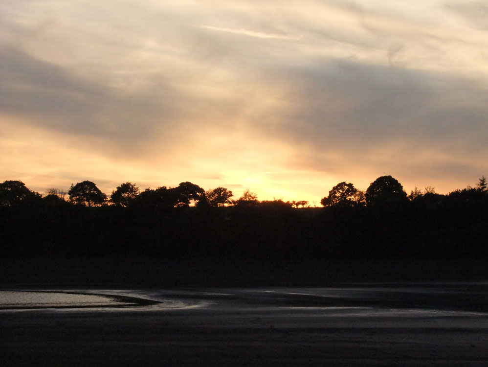 |
Sunset, and mud where there should be water
|
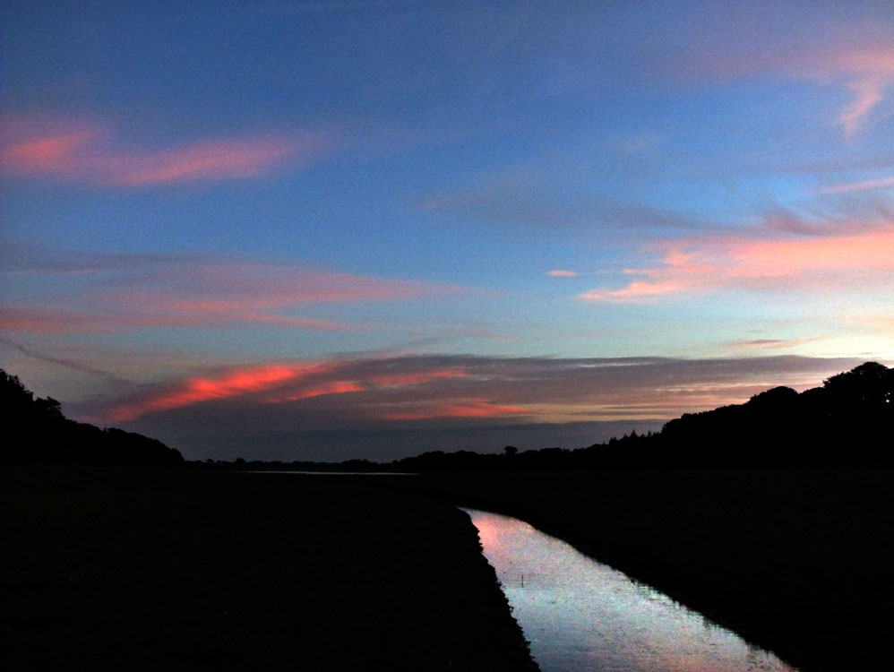 |
Another sunset, another night without rain
|
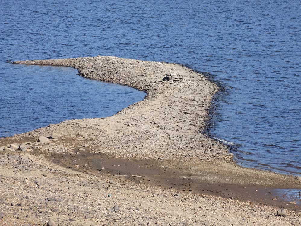 |
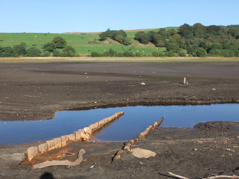
This is a spit of land by the Charnock embankment, its purpose is not known.
|
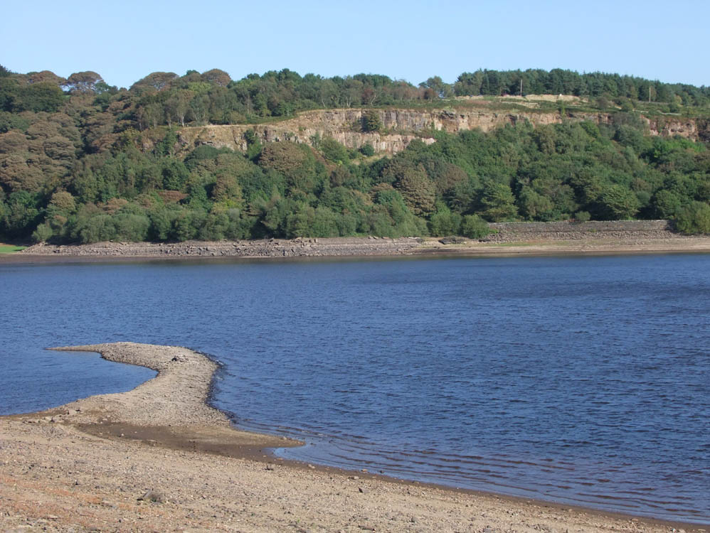 |
Lister Mill Quarry and its stunning view point across the water from the spit. To the left of the spit, still submerged are three footbridges.
|
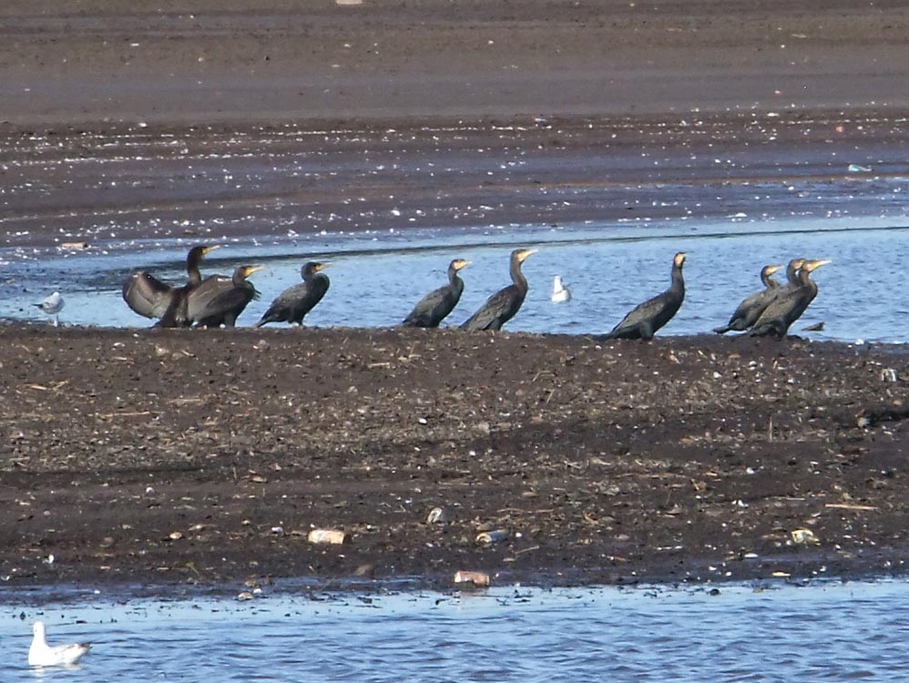 |
Not a common sight, but cormorants laze away the hours between feeds
|
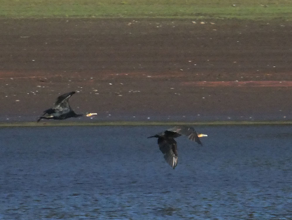 |
...and take off as I approached.
|
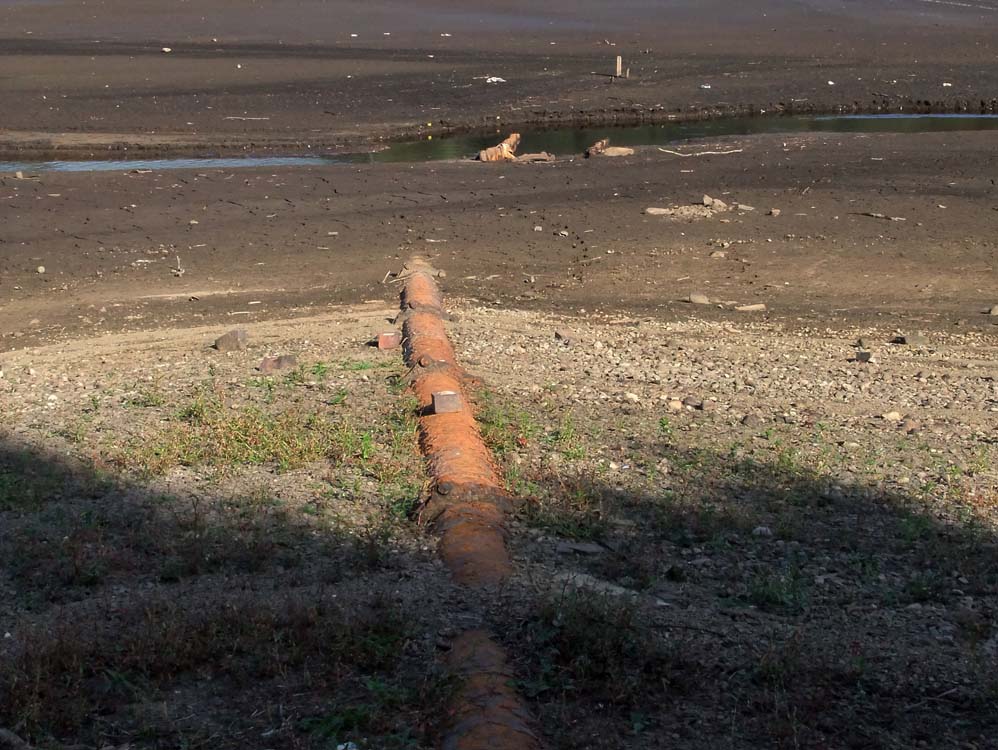 |
This is the original pipeline from High Bullough (Chorley Reservoir) to Chorley. It is no longer used
|
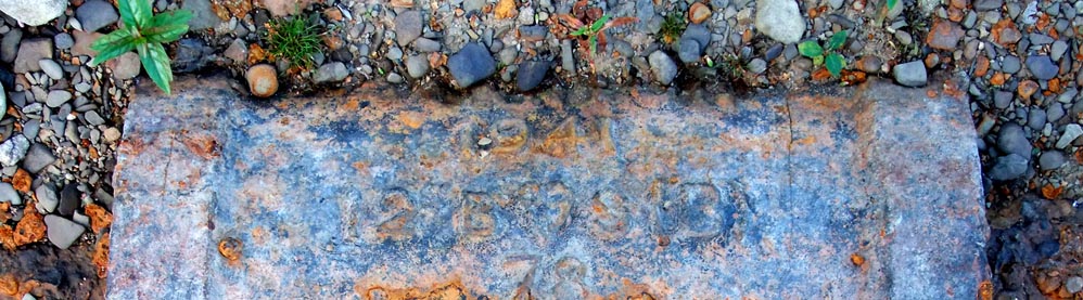 |
A repair to the pipe was made in 1941 - see the date on the collar joint above
|
 |
Bridge - or a channel for the pipeline?
|
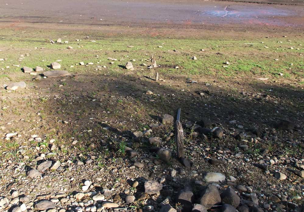 |
Further along the west bank of the Anglezarke reservoir is this old fence
|
 |
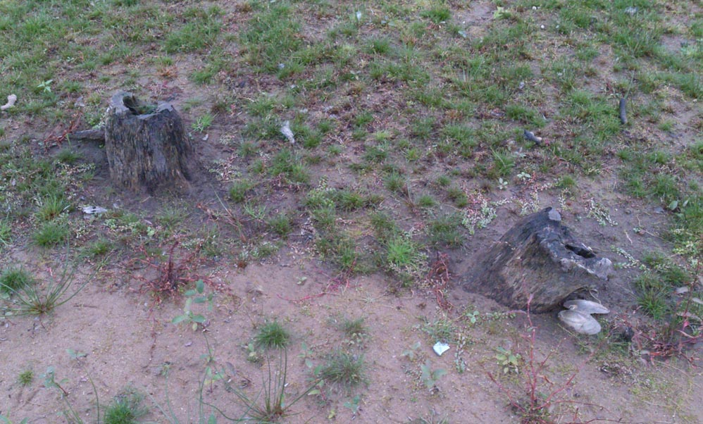
Remains of a tree in The Lees - just one of many I found
|
 |
Possibly a hedgerow, hawthorn or blackthorn maybe.
|
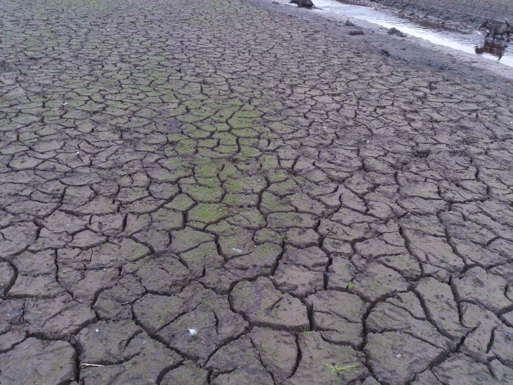 |
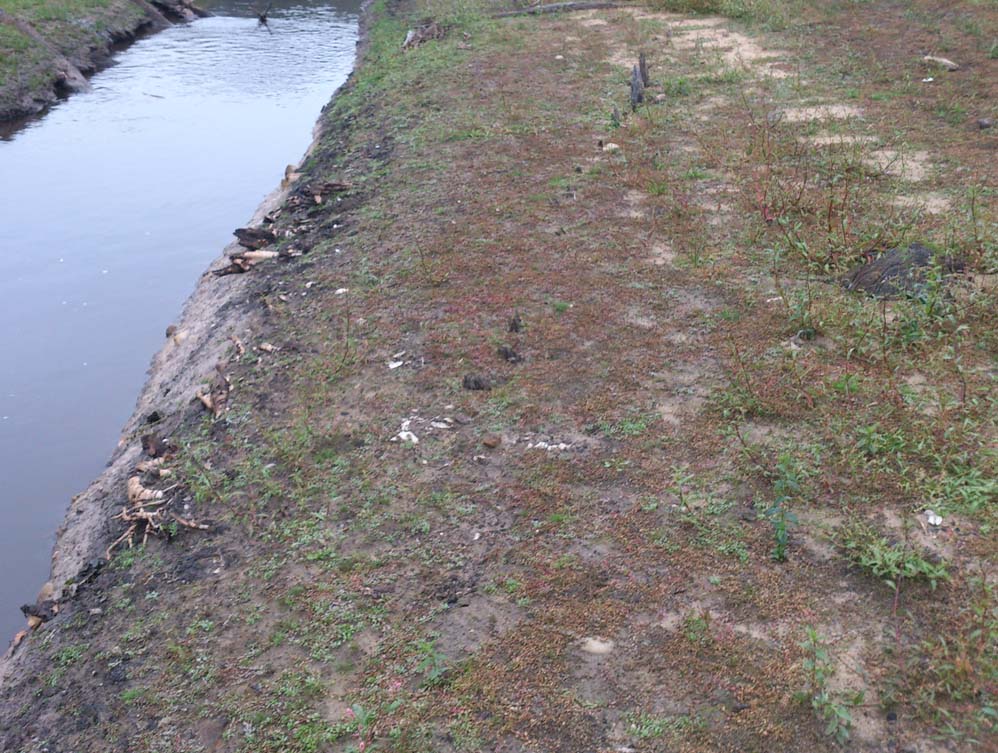
Not scorched earth yet, but certainly after years of being below water, the cracks associated with drying out are beginning to appear
|
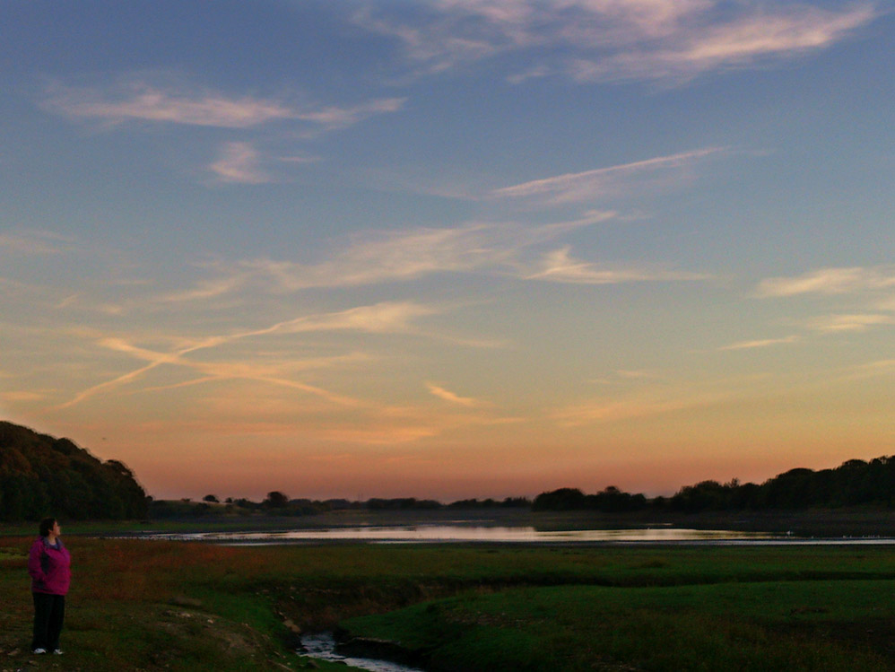 |
Another lovely end to another summers day in 2013
|
 |
The line of an old fence?
|
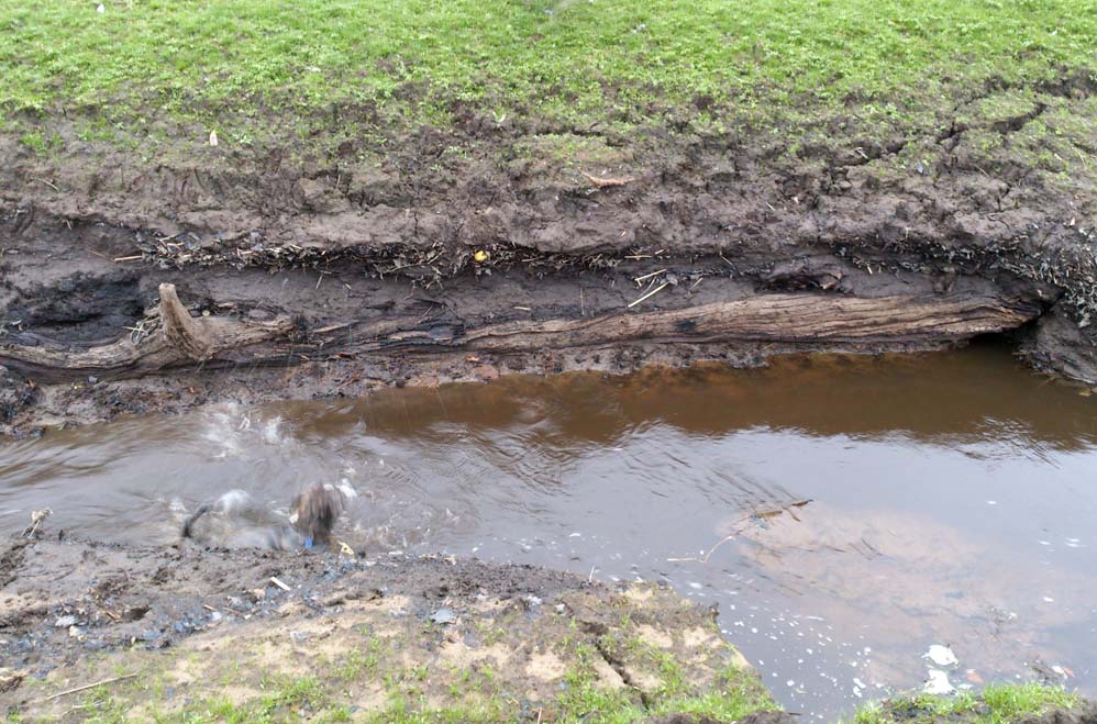 |
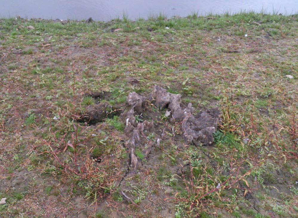
A tree trunk below years of silt |