Walk 5
White Coppice Circular - via Great Hill, Spitlers Edge and Anglezarke
| Length | 9miles |
| Time | 5hrs |
| Terrain | Moorland with several ascents. |
From the cricket pavilion at White Coppice cross the bridge over the Goit and go through a kissing gate (incidentally, the Goit connects Roddlesworth reservoir near Abbey Village to Anglezarke Reservoir). Go through the kissing gate at the far side of the bridge and turn left. As the path starts to climb turn sharp right at the old signpost. Stay on this path and after half a mile or so you will see some large bushes and a stone wall. These are the ruins of Coppice Stile Farm and is known as Coppice Stile.
Continue along the track until you reach some steps and another old direction sign. Turn right (ignoring the path to Brinscall) and shortly you will reach another ruin called Drinkwater's. Apparently it was used as target practice during the second world war. From Drinkwater's simply follow the path to the summit of Great Hill.
There used to be a cairn on the summit, but in 1999 it was replaced with a wall in the shape of a +. This shape affords protection from the wind, no matter which direction it blows from. Another recent addition has been the laying of large stone slabs from Great Hill along the moor to Redmond's Edge. This route was always very boggy and it is a pity that it was not continued over Spitlers Edge to the Rivington/Belmont road.
From the top there are magnificent views all round and it is easy to understand why the hill got it's name. Note the tumulus called Roundloaf to the south west.
At the top of Great Hill take the flagged path to the right. Stay on this and when the slabs abruptly end continue on the path ahead of you. Continue over Spitlers Edge and Will Narr. When you see the Rivington - Belmont road ahead look for the broken down stone wall to the right (this is 150 yards before the stile onto the road).
Turn right and follow the wall and the stream. After half a mile you meet a farm track. Turn right here and pass the ruins of Higher and Lower Hempshaws. Continue on the track and after passing the ruins of Simms Farm continue on to Lead Mine Valley.
As you drop into the Valley cross the brook and make the steep ascent to the Monument.
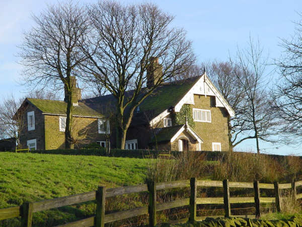
At the monument turn left and then right over the stepped stile over a dry stone wall. Follow the path until it joins another track and turn left. Stay on this path until you come to a farm gate allowing access onto the metalled road which is slightly in front of you. This gate is known as Jepson's Gate. The farm away to the left is Jepson's Farm.
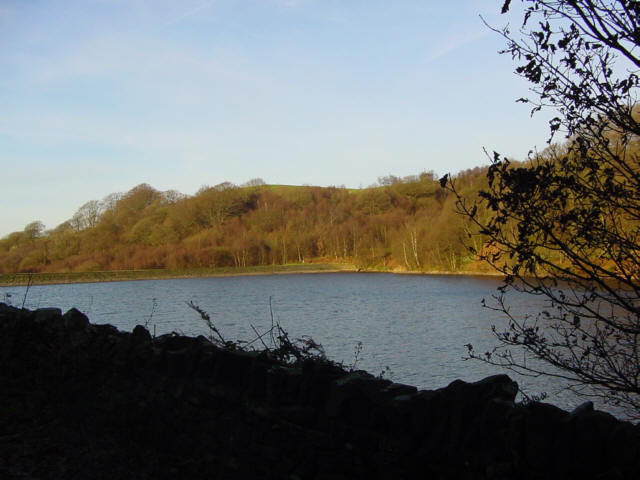
When you join the road do not turn left but continue ahead. After 200 yards the road turns left and descends to Manor House. Just after the right hand bend at Manor House turn left through a gate and cross the field to a second gate. Go through this also and take the sharp descent to High Bullough reservoir. Ignore the path over a bridge at the bottom and continue, with the reservoir to your left