Around the upper Yarrow
 
 
Date 3/11/12  
Starting Point Lead Mine Valley (SD627160)  
Distance 4 miles  
      Route Map  


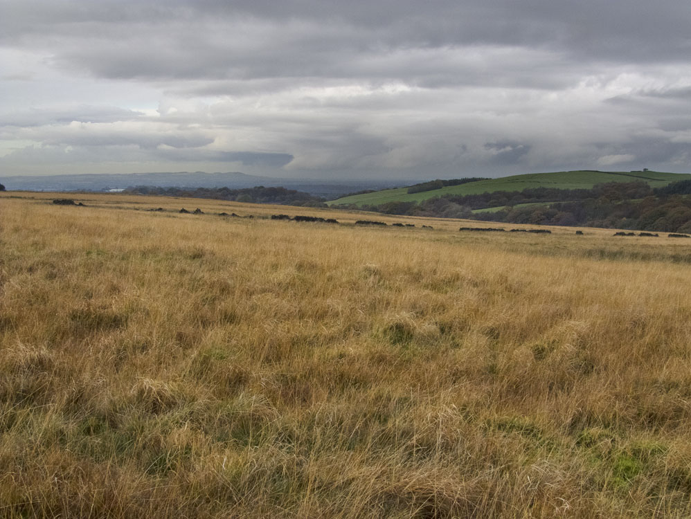
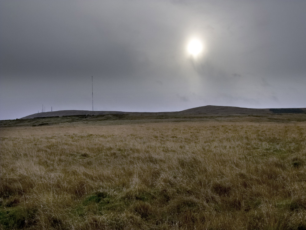
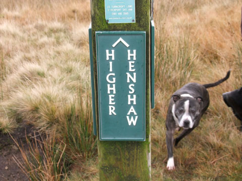
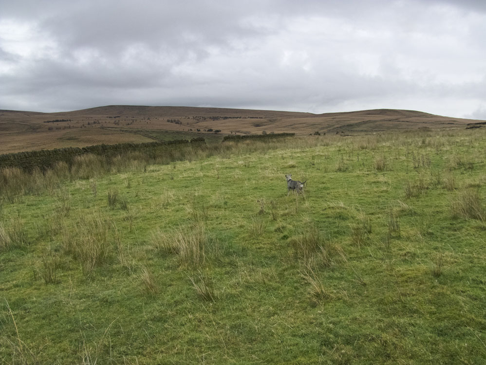
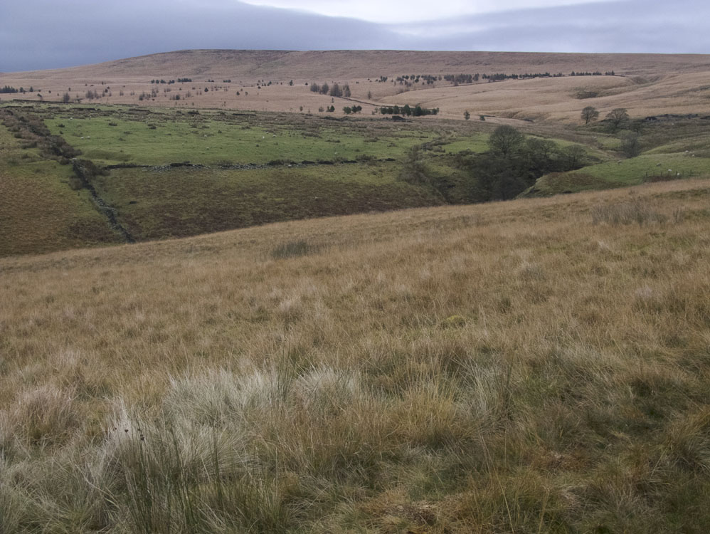
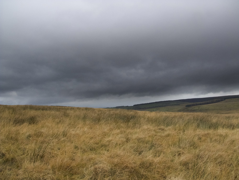
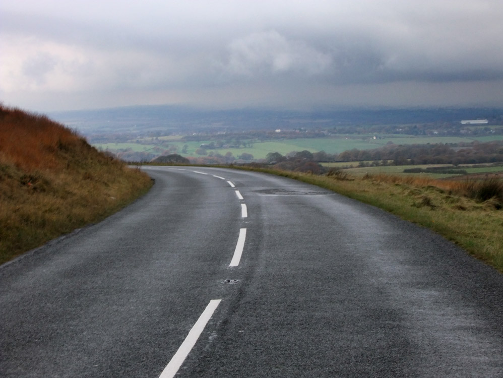
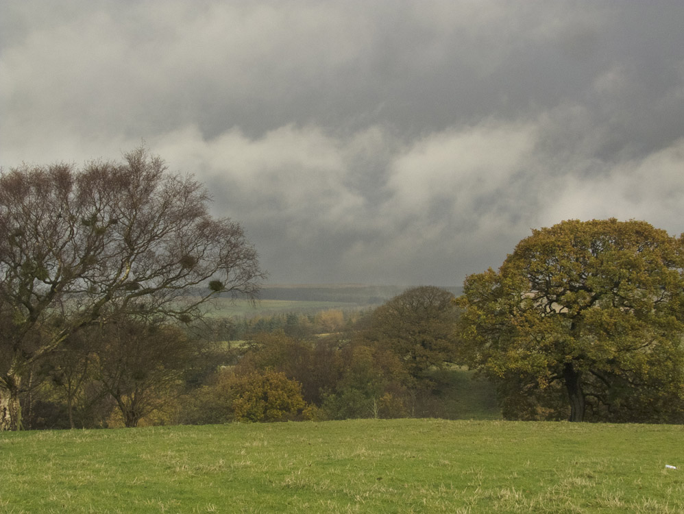
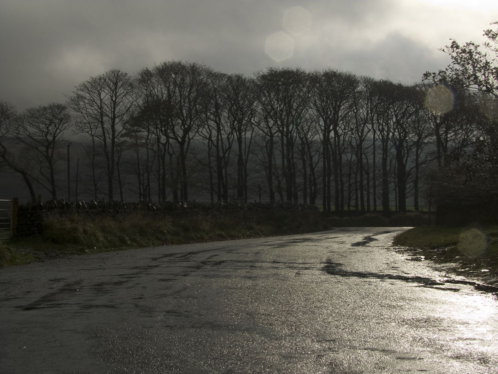
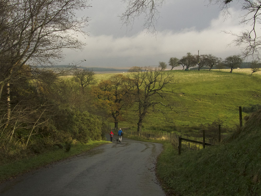
This is a walk I did with friends and our dogs. It was rather overcast and quite cold, but still an enjoyable walk in an unfrequented area. Rain near the end of the walk caused us to change our route and we walked back to the cars along the lanes of Rivington, which are still pleasant, and over some very picturesque scenary and good views.

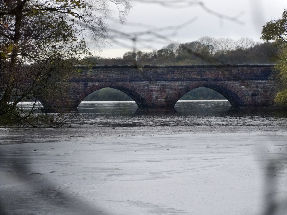
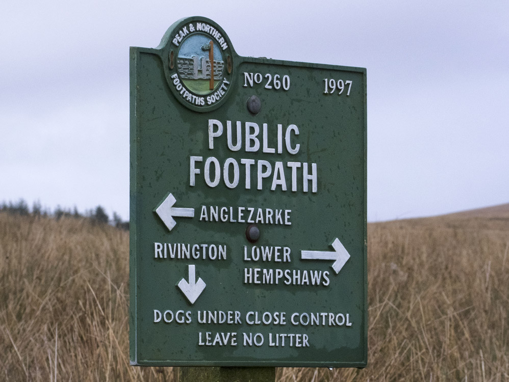
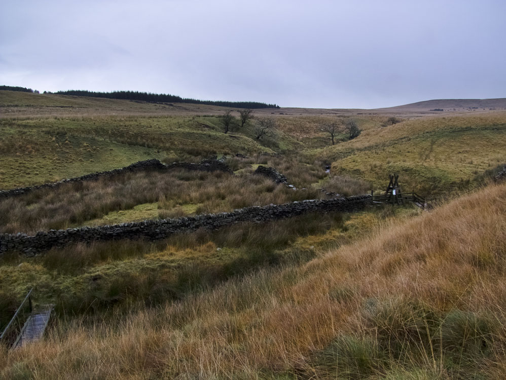
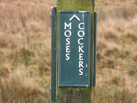
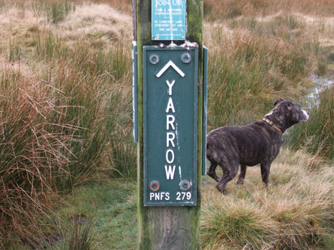
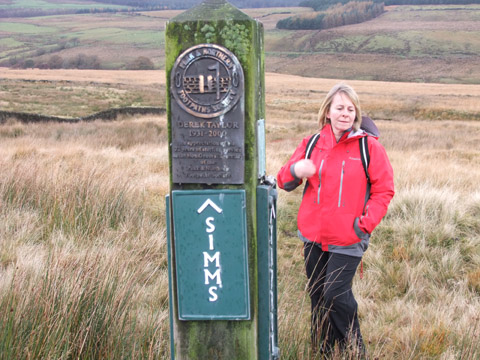
Parking near the entrance to Lead Mine Valley we made our way up the valley and turned right after the first bridge to visit The Meeting of the Waters. From there we made our way to the ruin that is Simms Farm. Turning right here we headed down to the River Yarrow, then over it and up to Old Rachel's. Then we climbed to the Belmont road where we turned right and followed the lanes back to Alance bridge and the cars.


View toAlance Bridge, from Meeting of the Waters


Good solid sign at Simms


This is where we crossed the River Yarrow. The stiles are noy "big dog" friendly.


The clouds say it all


Looking up to Winter Hill (L) and Noon Hill (R)


An excellent signpost, Moses Cocker's is a farm down the valley
 

This is pointing towards the source of the River Yarrow.

 
Pointing to Simm's, from where we have come from. There is also an excellent memorial to a Derek Taylor   The forth side points to Higher Henshaw's, though I think it should be Higher Hempshaw's

Will Narr and Spitlers Edge from one of Old Rachel's fields


Spitlers Edge


Here comes the hail.


Looking west from the Belmont to Rivington road


Weird light after the rain


Trees on Sheep House Lane


Approaching Sparks Bridge