Waking to a beautiful March day we decided to take the dogs up Grain Pole and return along the top of Stronstrey Bank. We parked in the lay by after Siddow Fold and took the stile on to the moor. The path is not clear but head straight ahead from the stile, up the incline and then Grain Pole Hill will become visible a little to the left. After reaching the summit, it's a downward path across the flat plain of Black Coppice then left at the fence and follow it along the top of Stronstrey Bank.
After making some height gain this is the view behind us to Healey Nab
.... and the view across to Harrock Hill, Nr Mawdesley
Looking up to Grain Pole Hill
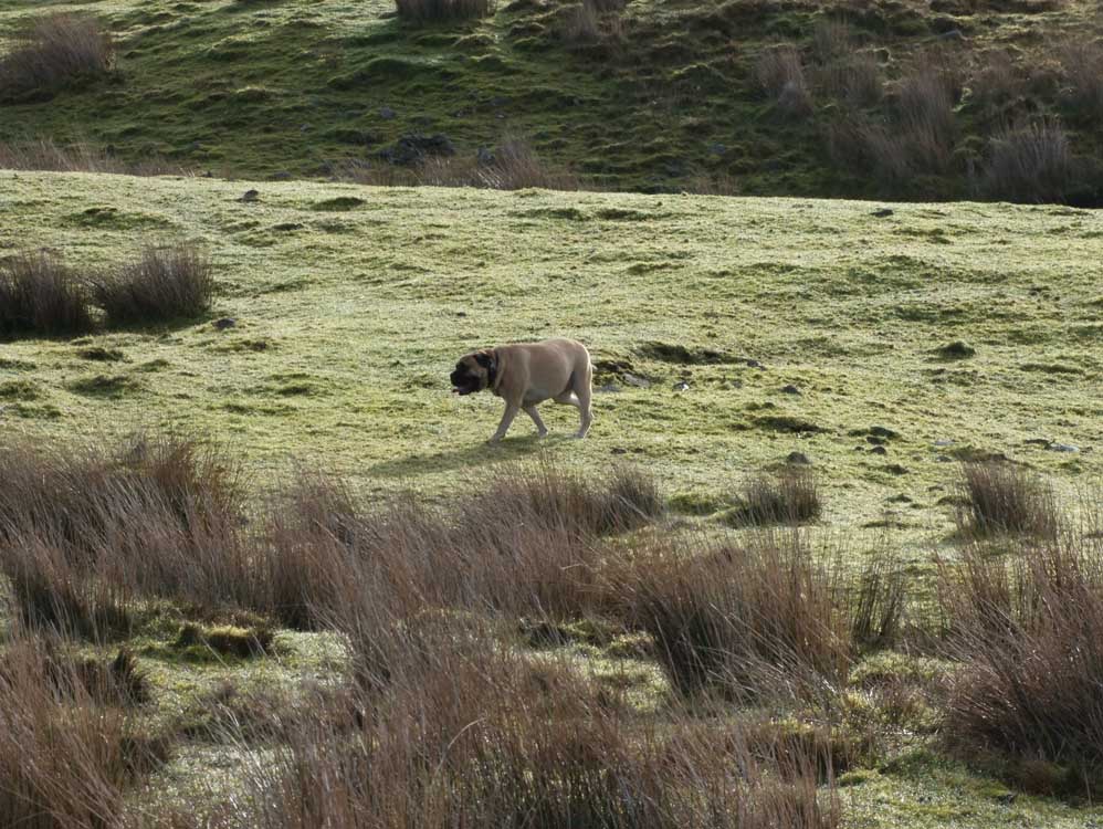
Ahead is lush green grass which leads to a couple of old mine trails
Healey Nab
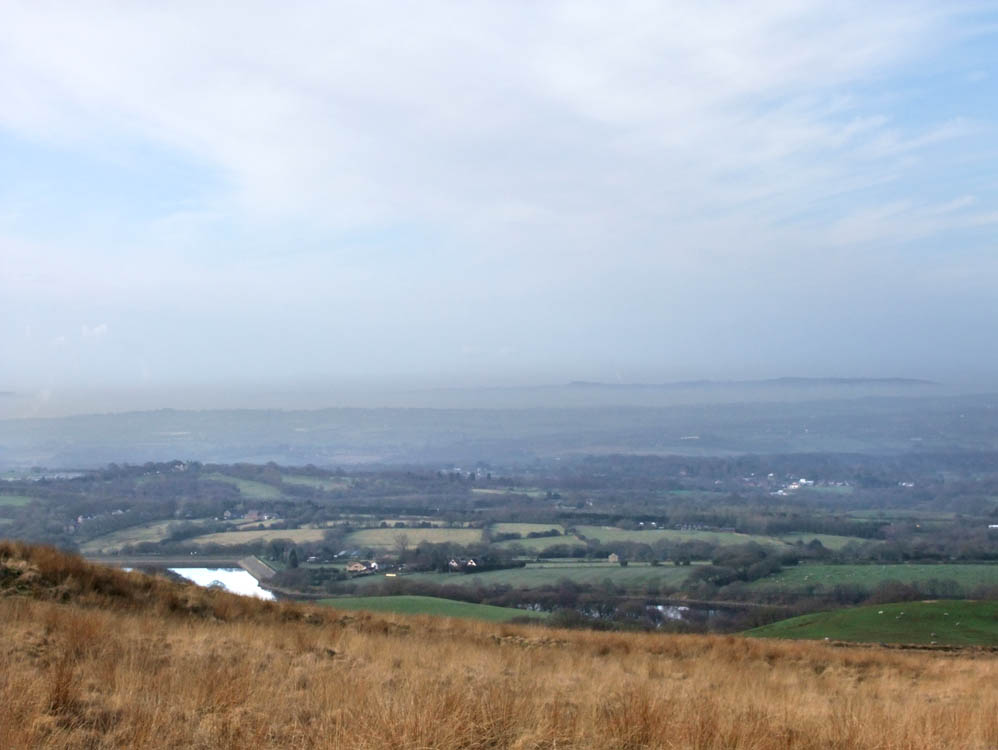
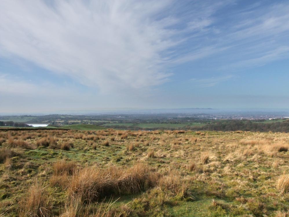
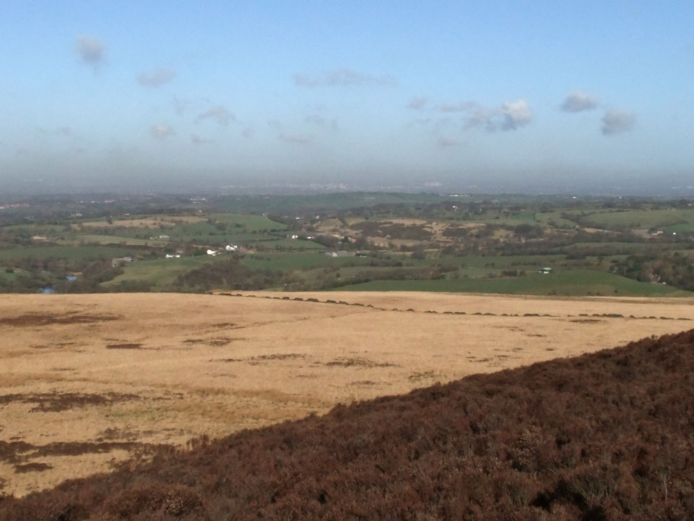
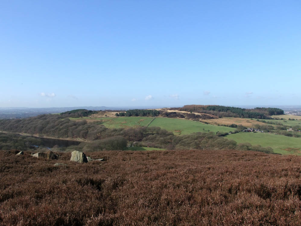
Not a good photo, but this shows Anglezarke Reservoir far below, and a distant Harrock Hill
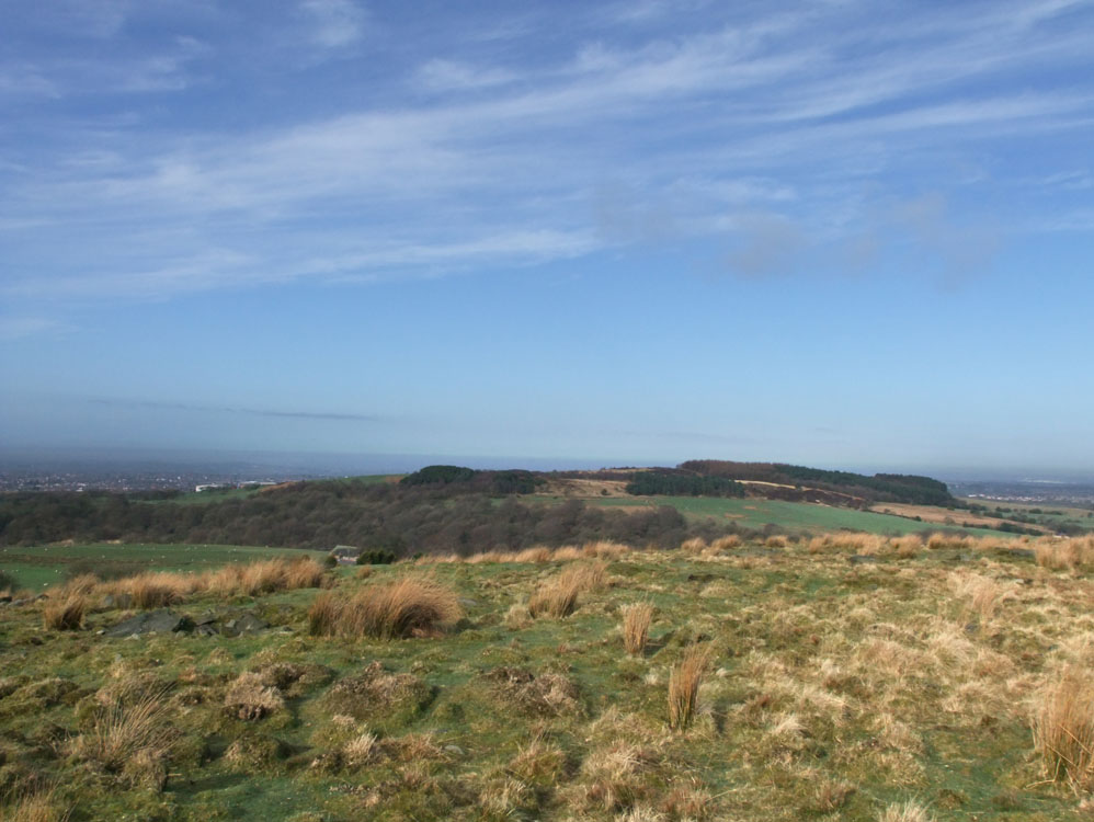
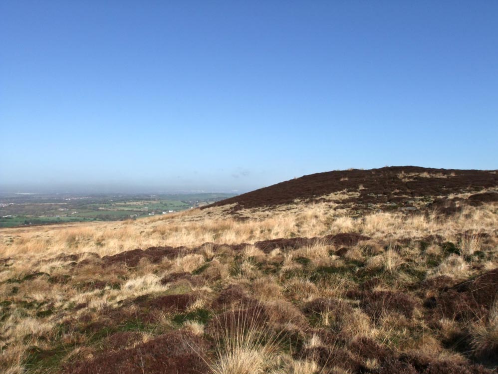
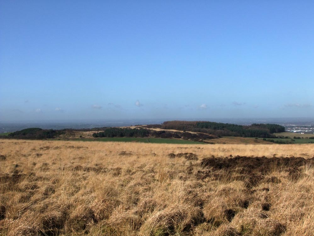
The plateau of Black Coppice
Healey Nab
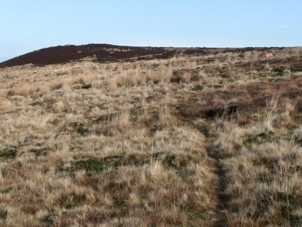
Nearing the top, and the going gets a little tougher - but nothing to difficult
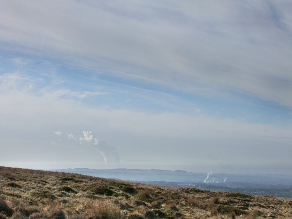
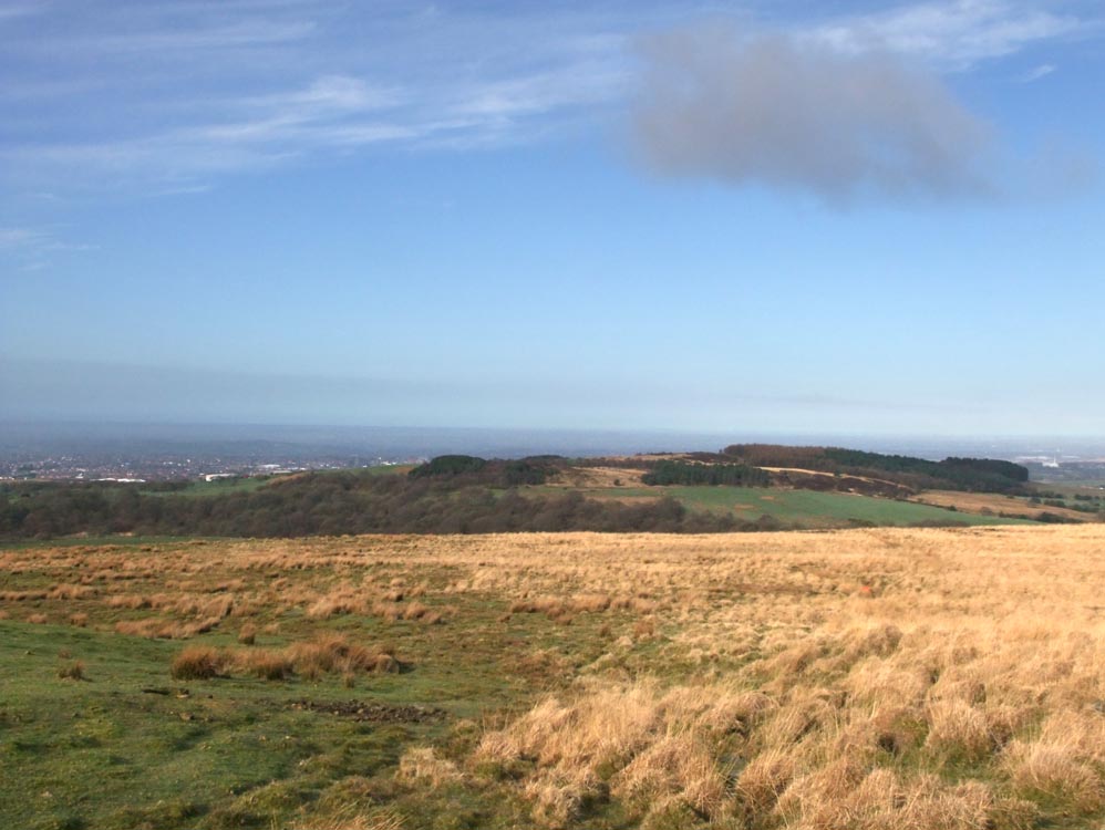
Looking South West and in the distance steam from the cooling towers of Fiddlers Ferry power station rises into the still air
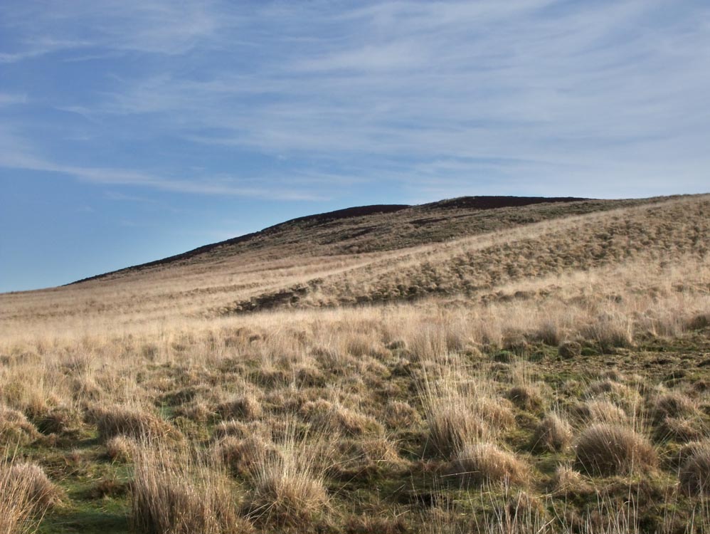
The faint track leading to Grain Pole
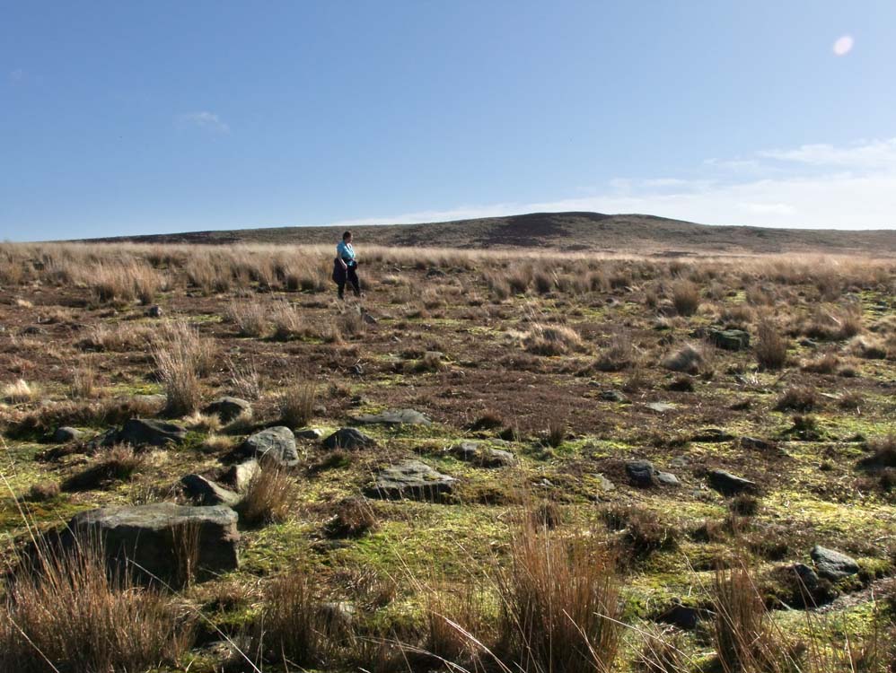
Grain Pole Hill
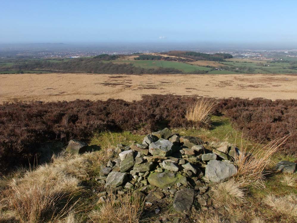
The untidy cairn on Grain Pole Hill
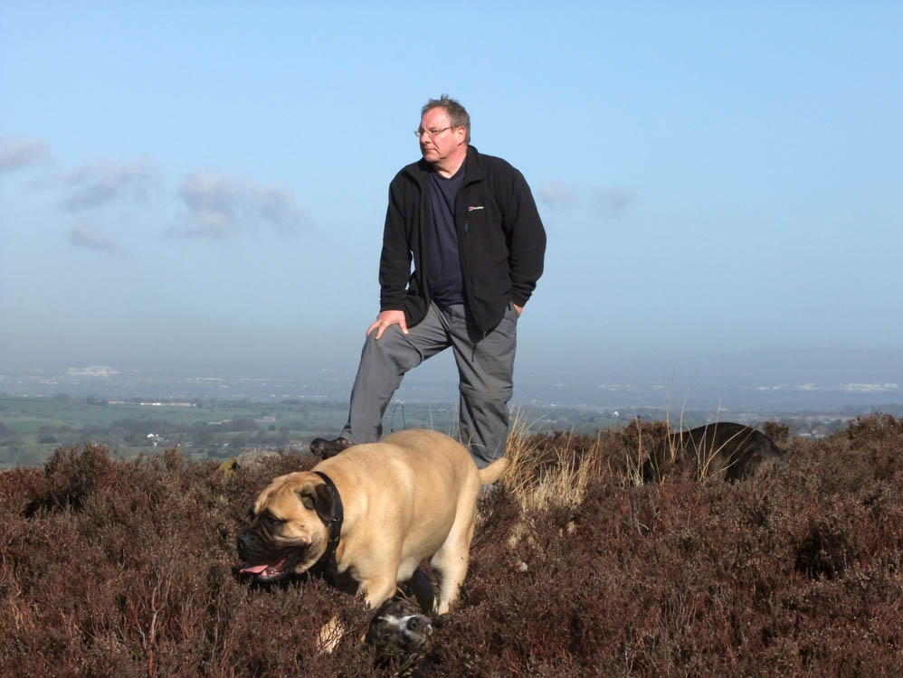
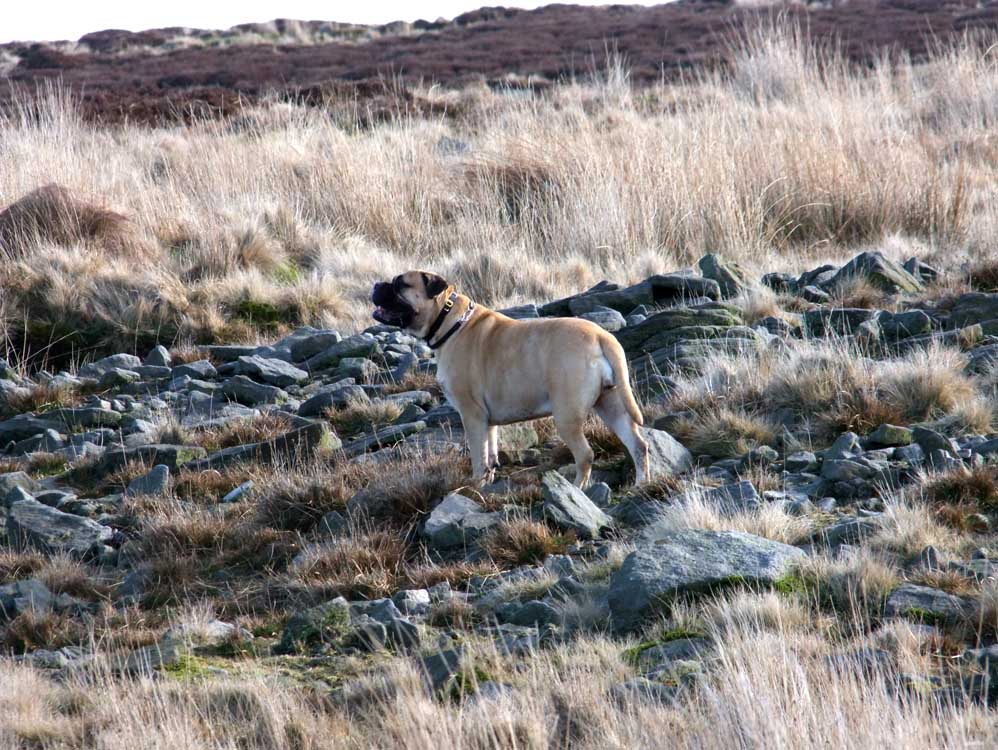
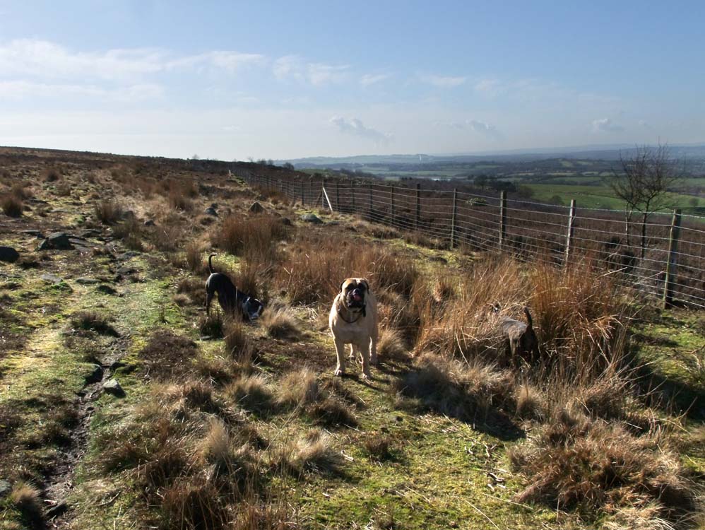
Rare photo, me and two of the dogs atop Grain Pole Hill
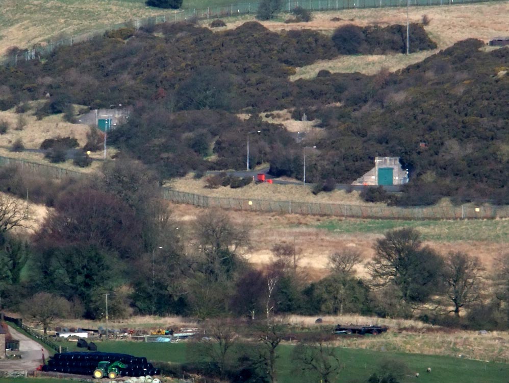
Zooming in on the distant ROF Heapey site.
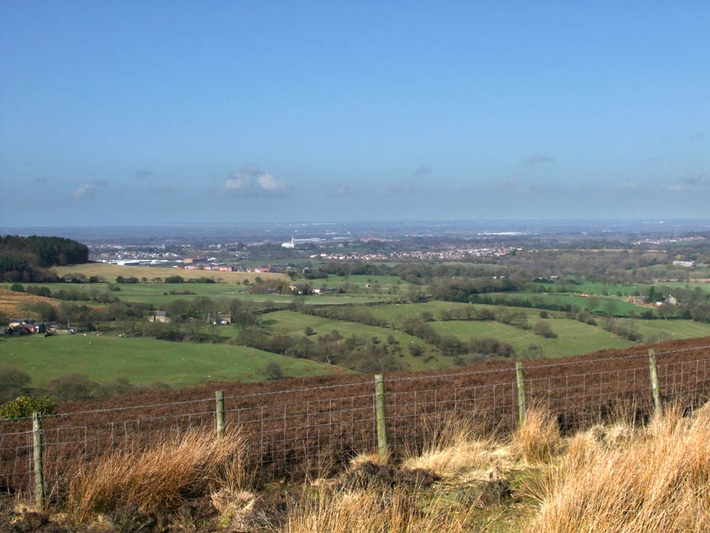
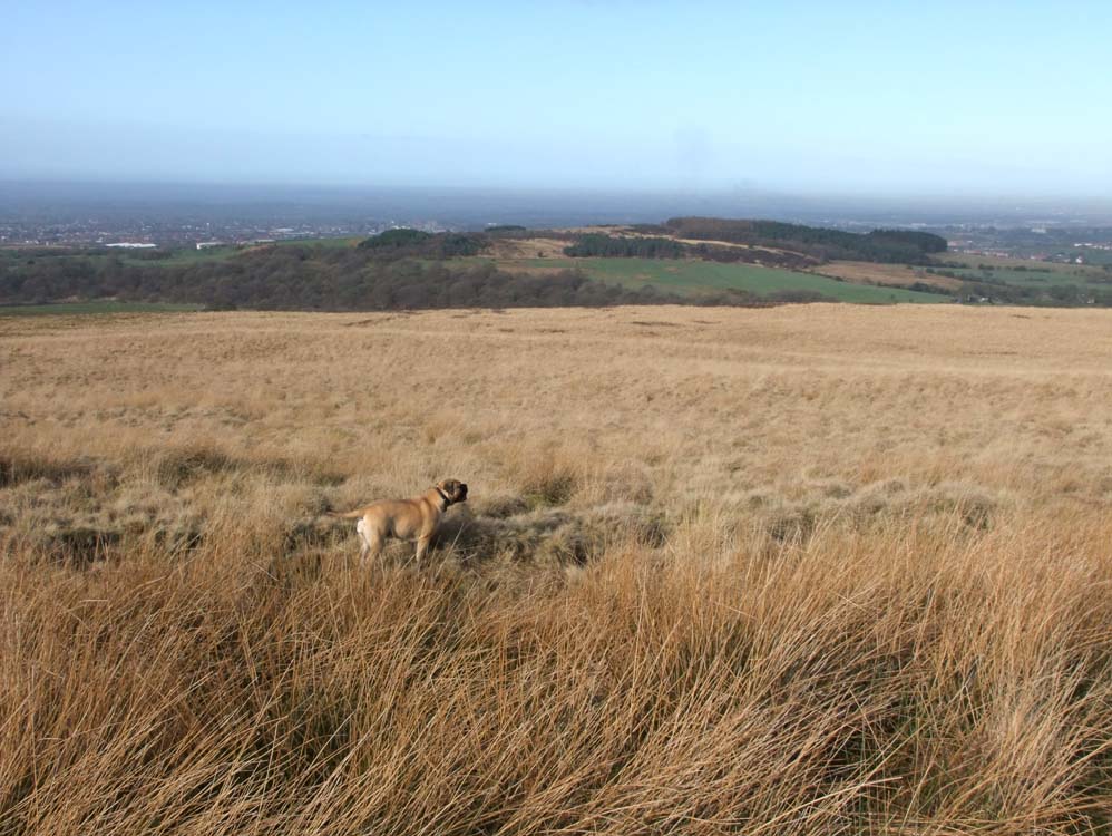
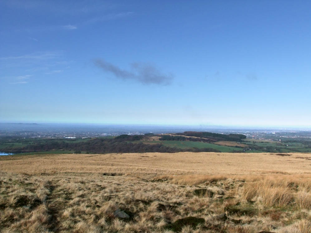
Across the plain to a distant Preston

And from the summit this is Chorley
As we descend, Healey Nab is the main feature ahead of us
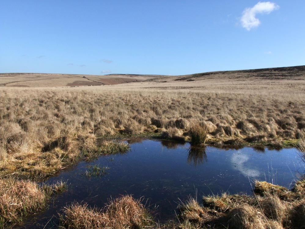
There is a small, well hidden tarn on Black Coppice, this is it, with Great Hill in the distance
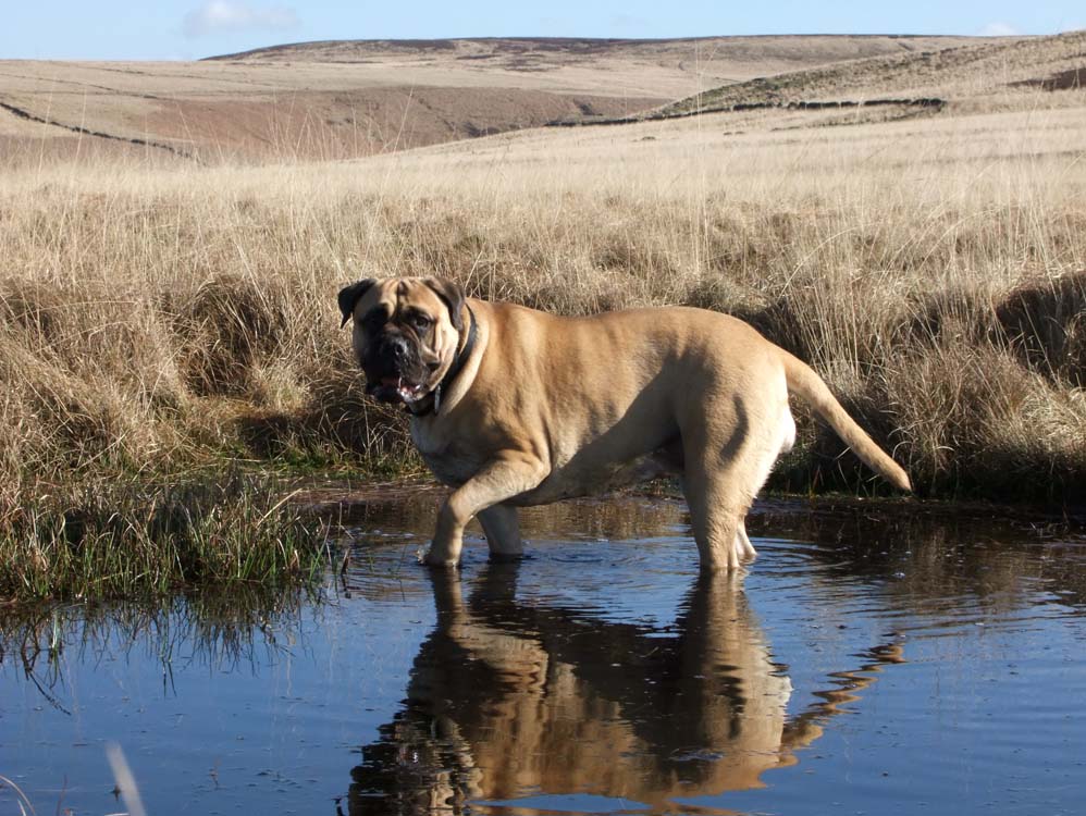
Belle takes a paddle
The reason Black Coppice gets its name, this dark heather is just that, dark!
Approaching Stronstrey Bank
The fence that runs along the edge