|
||||
| A selection of photo's of the reservoir through the years and through the seasons
|
||||
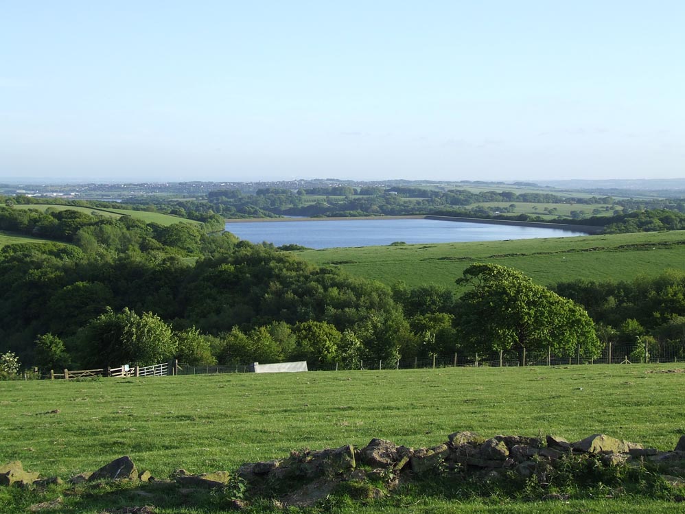 |
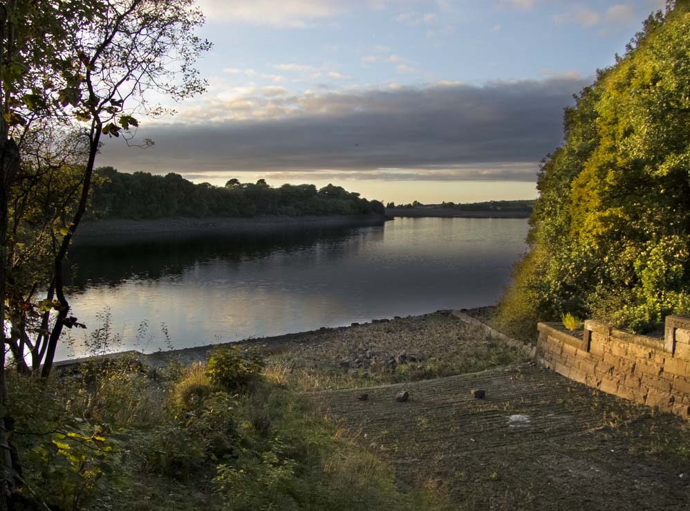
Yarrow seen from the track from Jepson's Gate |
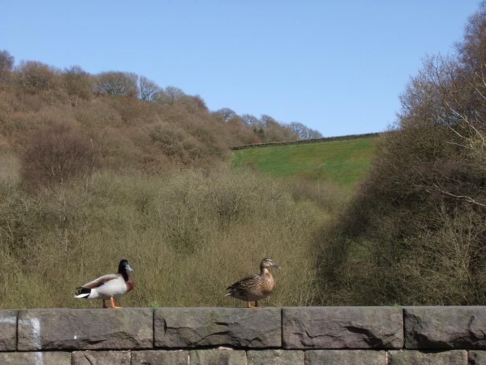 |
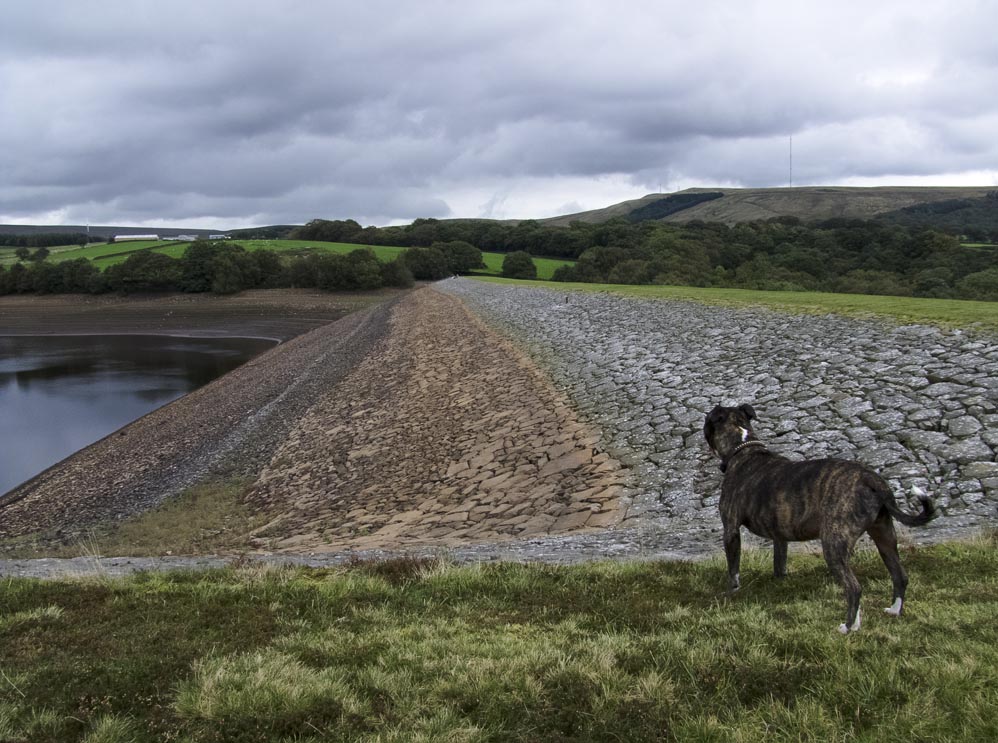
The large embankment appropriately named Yarrow Embankment as seen by ducks from the bridge crossing the inflow to Anglezake resevoir |
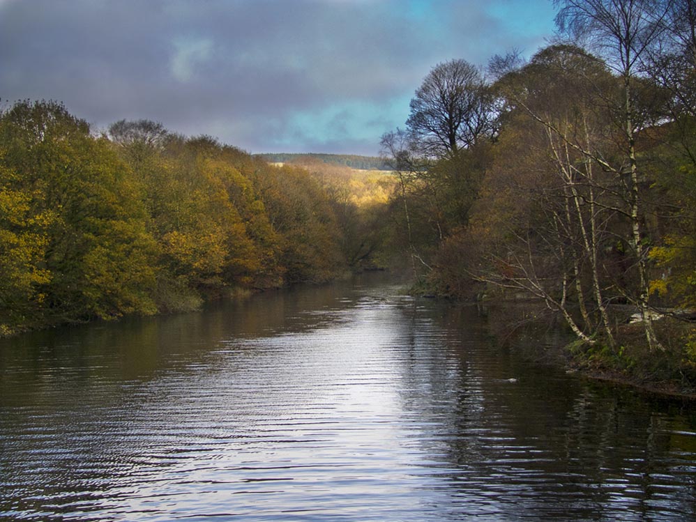 |
The view towards Meeting of the Waters from Alance Bridge
|
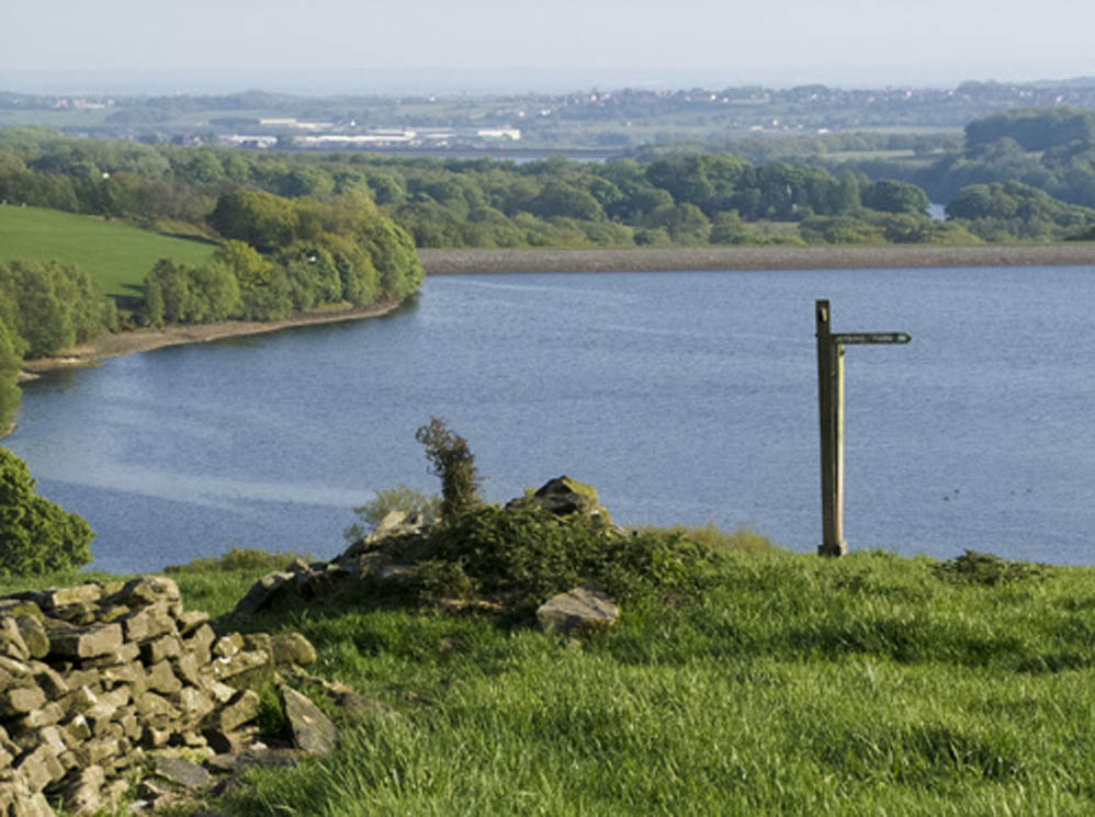 |
The view of Yarrow from the fingerpost high above the ruins of Parson's Bullough Farm
|
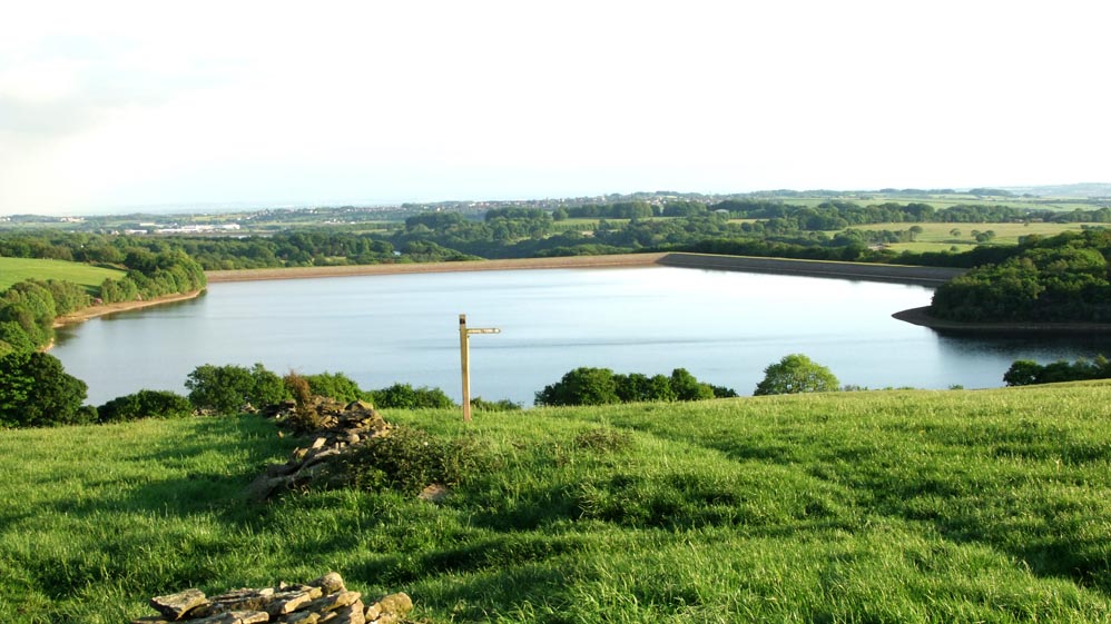 |
Same view - wider angle shing the long Turner's Embankment, named after a farm of that name was lost below the water
|
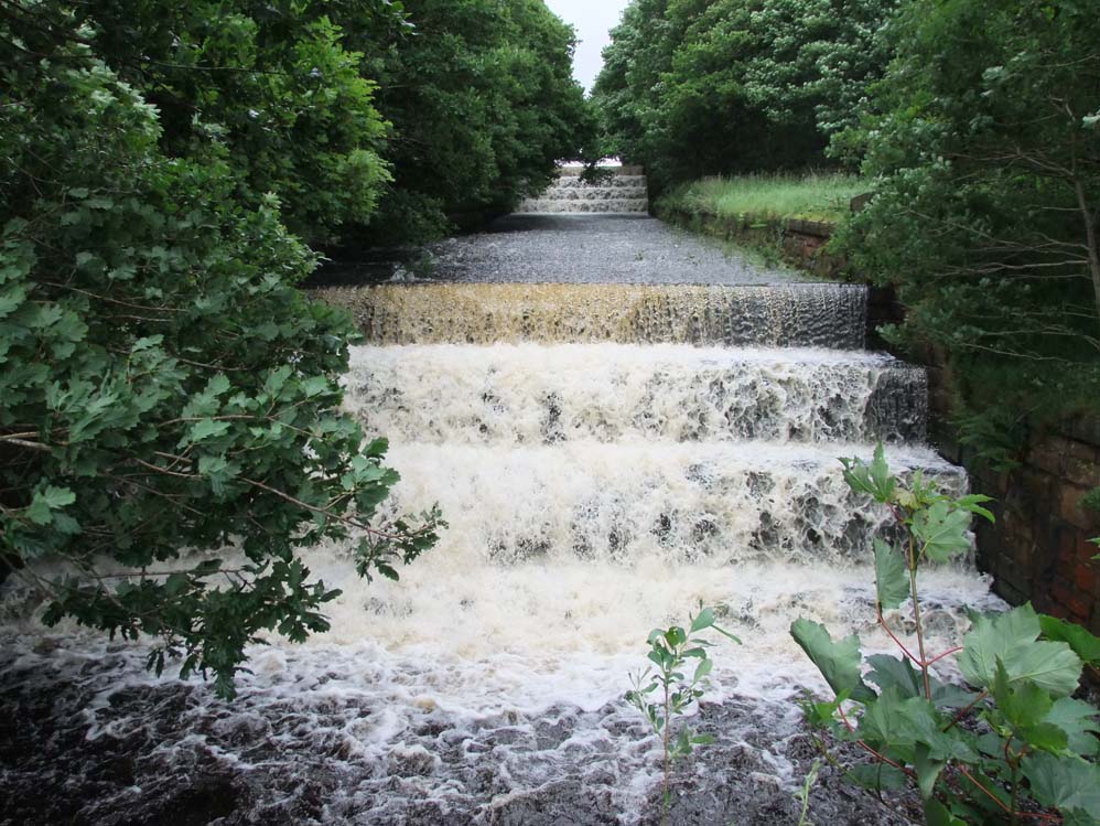 |
The overflow from Yarrow to Anglezarke in full flow - June 2012
|
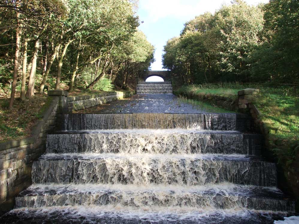 |
The overflow from Yarrow to Anglezarke in full flow - October 2012. The trees having been cut back
|
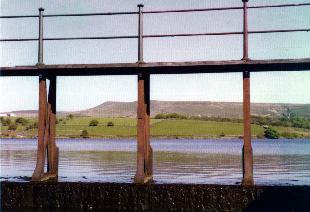 |
Yarrow Reservoir, along with some others had an arced footbridge across their wide overflows to enable Water board workers to cross them whe water levels were high. Above is, as far as I am aware the only photo on the internet of one of these bridges. It is one I took in 1978. It is copyrighted and can not be used without permission in any form of media
|
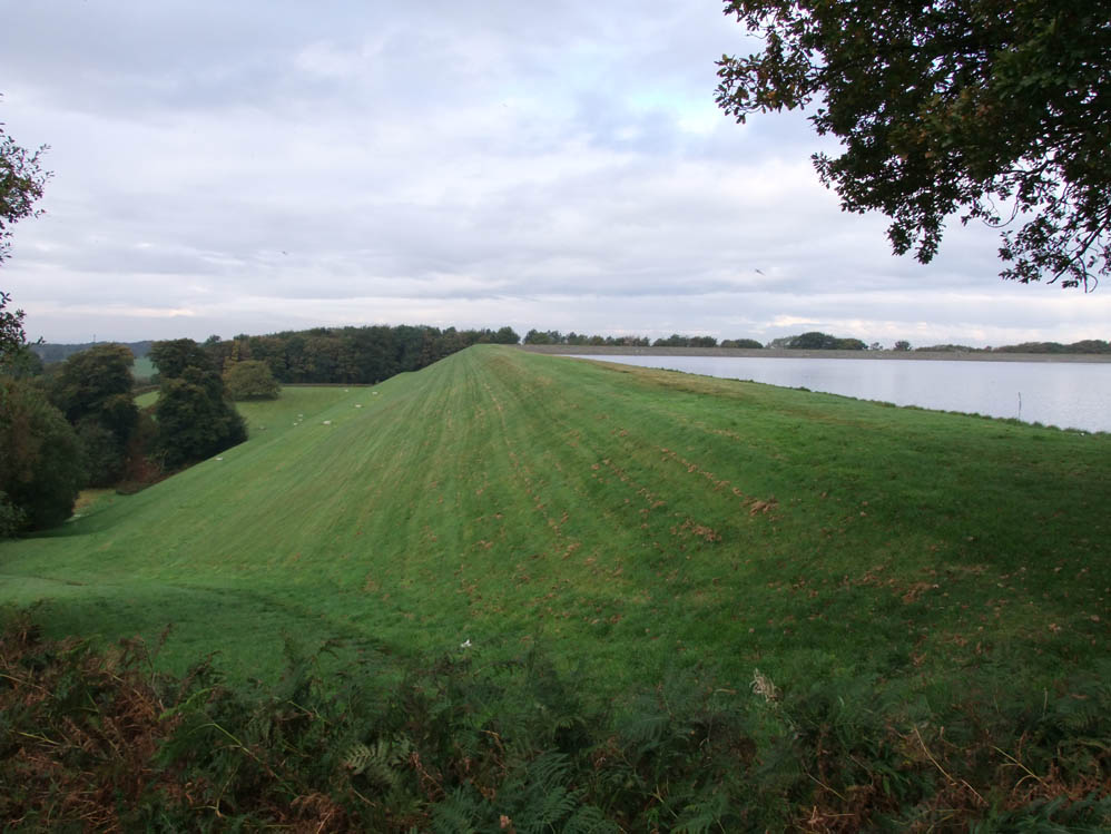 |
The large Turner' Embankment
|
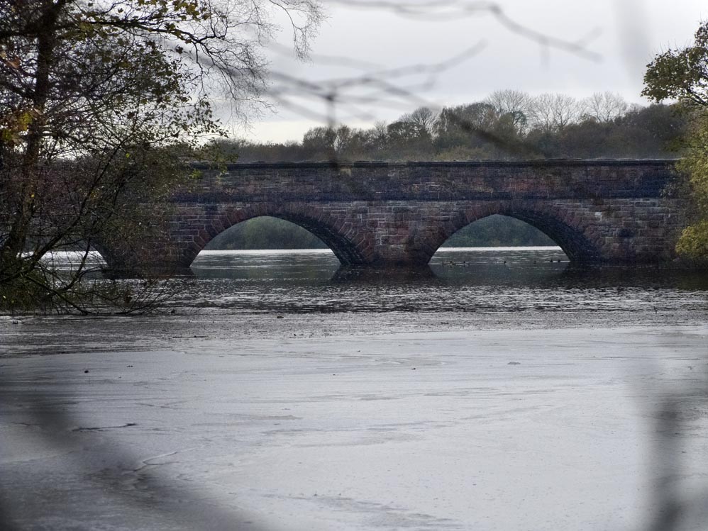 |
Alance Bridge - taken from the tip of The Meeting of the Waters when the reservoir was full
|
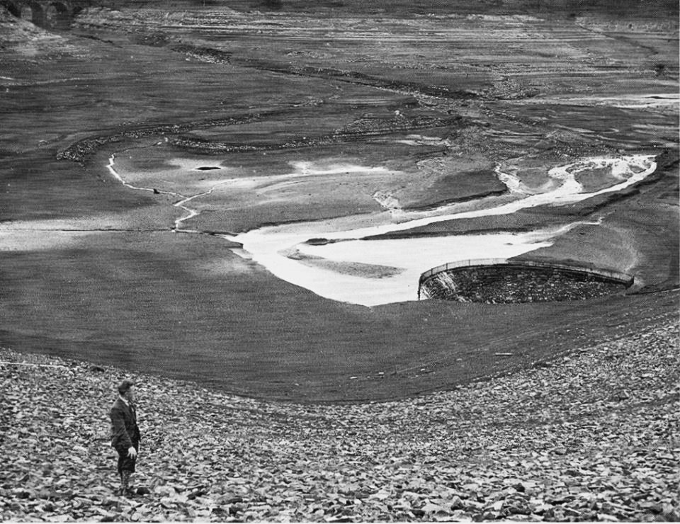 |
The drought of 1933 - even worse than that of 2013 (below). Note the metal fence that surrounds the outflow
|
 |
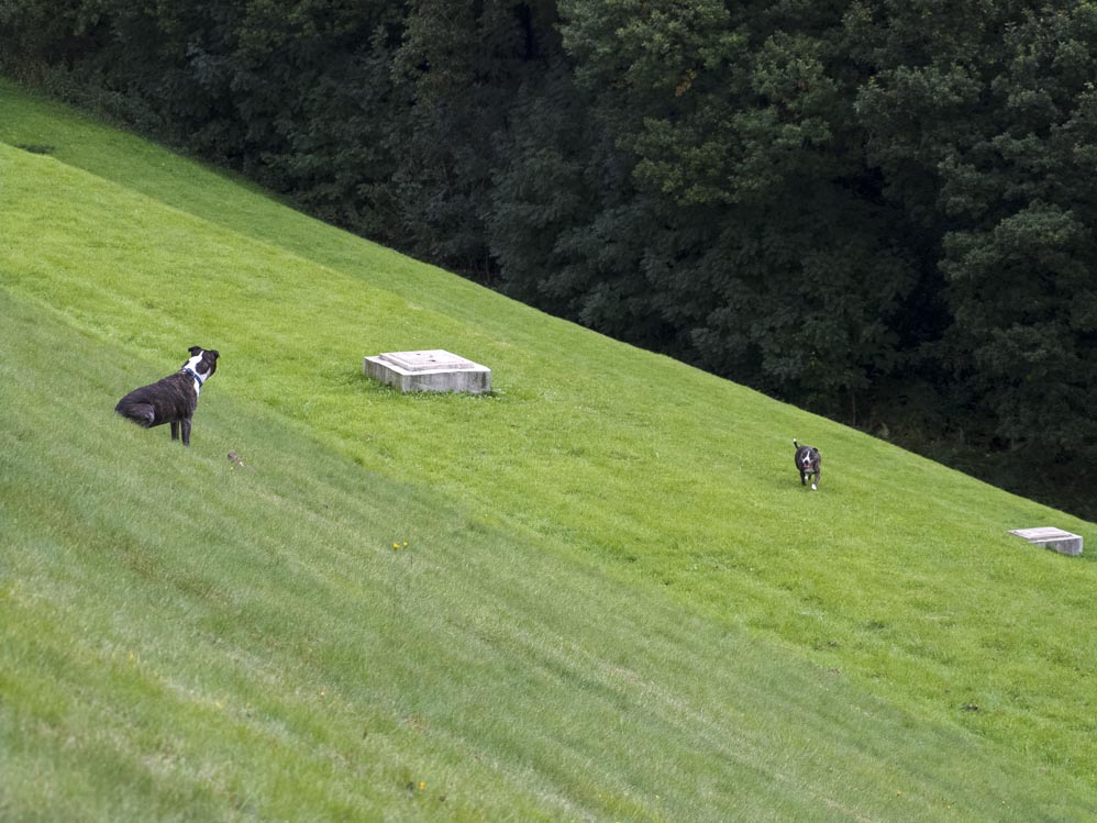
Winter Hill and Rivington Pike give a stunning backdrop
|
 |
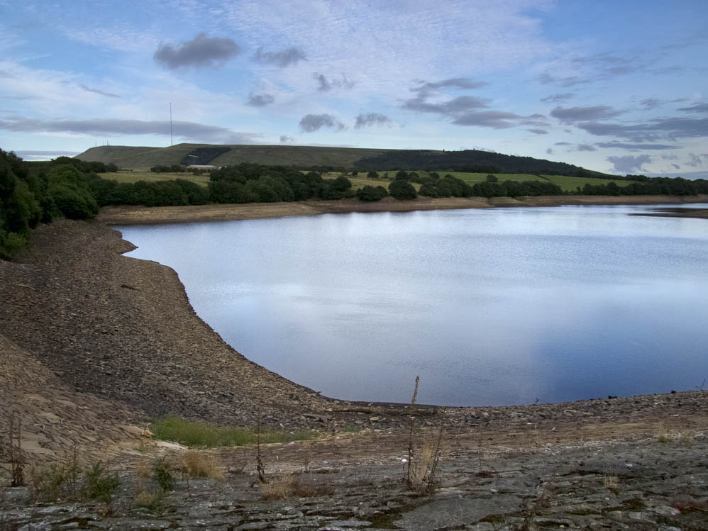
Summer 2013 - lowest Yarrow has been for mamy, many years, as the depth boards show. Note also the old handrails that continue way past the later present day rail
|
 |
On Knowsley Lane to the left of the road bridge are these gateposts. They are the original ones belonging to Turners Farm, that was submerged when the reservoir was filled. The track crossed where now are the large steps of the overflow and continued diaganally upwards to meet the present day path that lead up to the reservoir
|
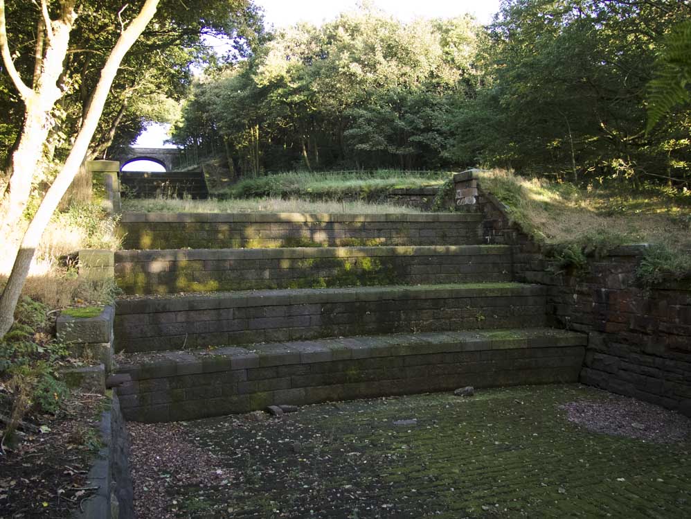 |
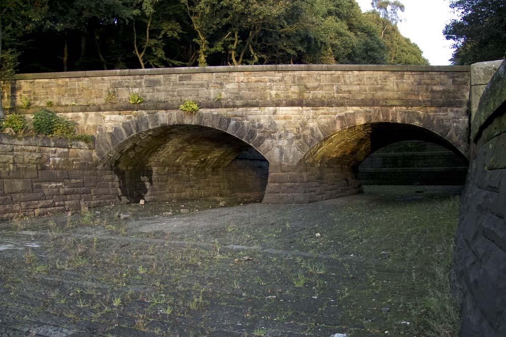
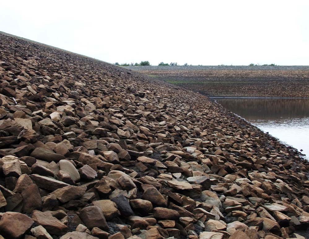
Large steeped overflow. The original track to Turner's crossed where these are now
|
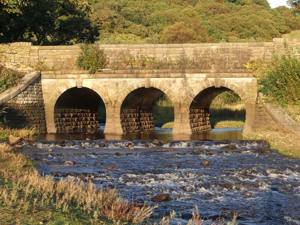 |
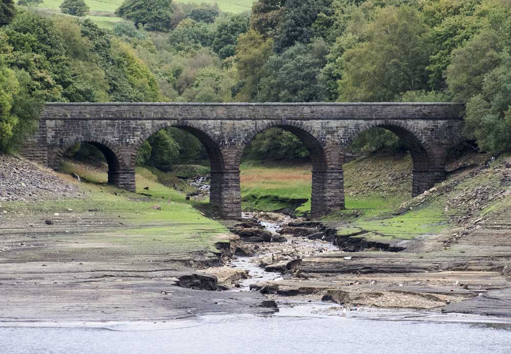
The bridge carrying Knowsley Lane above the outflow from Yarrow. Seldom seen like this as most of it is under water/
|
 |
Yarrow's overflow as it enters Anglezarke. The bridge carrys Knowsley Lane above it
|
 |
Amazing Victorian architechure
|
 |
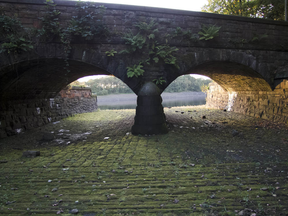
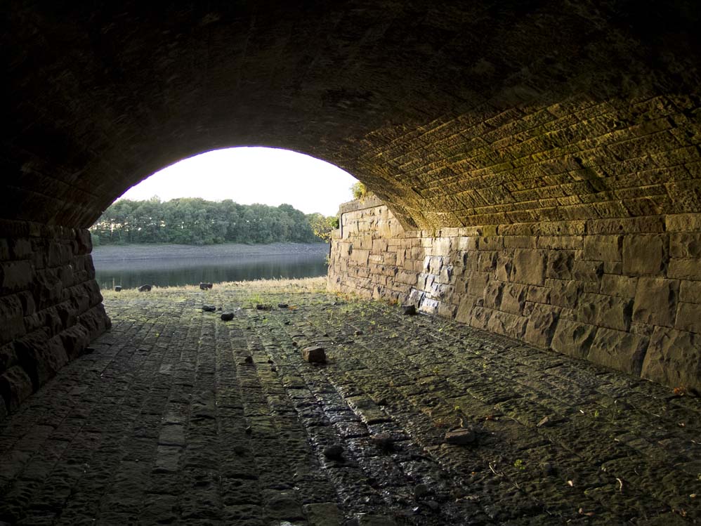
The view from Anglezarke up the overflow. Again this is a rare capture as this is normall below the waterline
|
 |
Anglezarke from the bottom of Yarro's overflow
|
 |
The large Turner's Embankment
|
 |
The other side of it - showing the large stepped side
|
 |
Taken from the corner of Turner's Embankment looking towards Alance and the hills beyond
|
 |
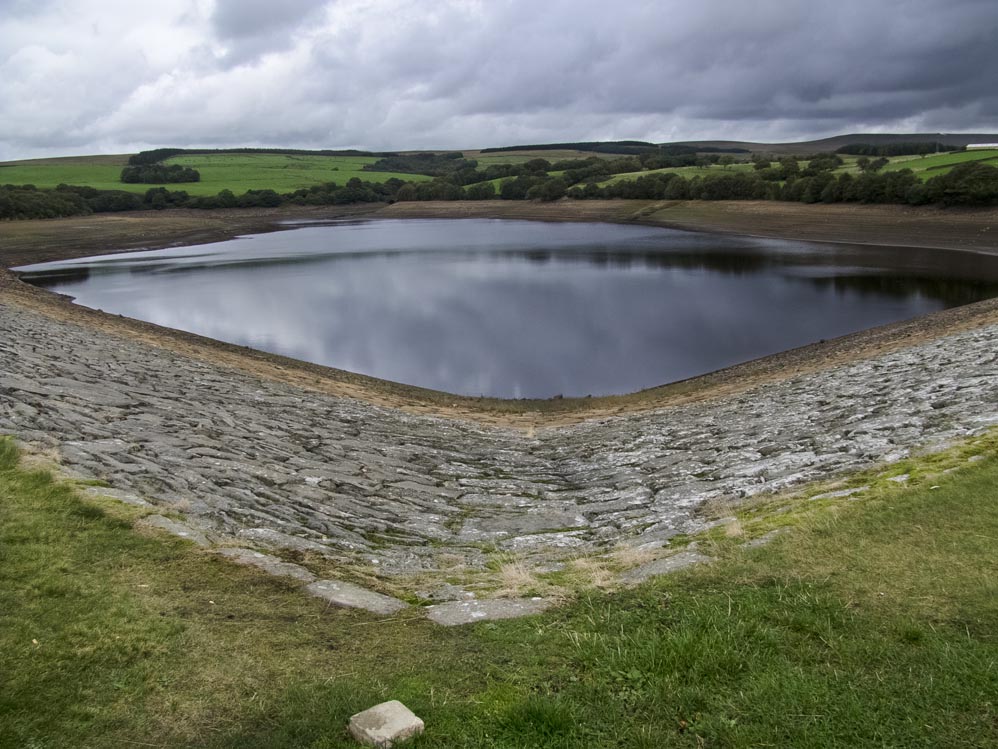
Summer 2013, very low levels
|
 |
Alance Bridge, built to replace an earlier bridge that stood just where the stream is entering the reservoir in the picture
|
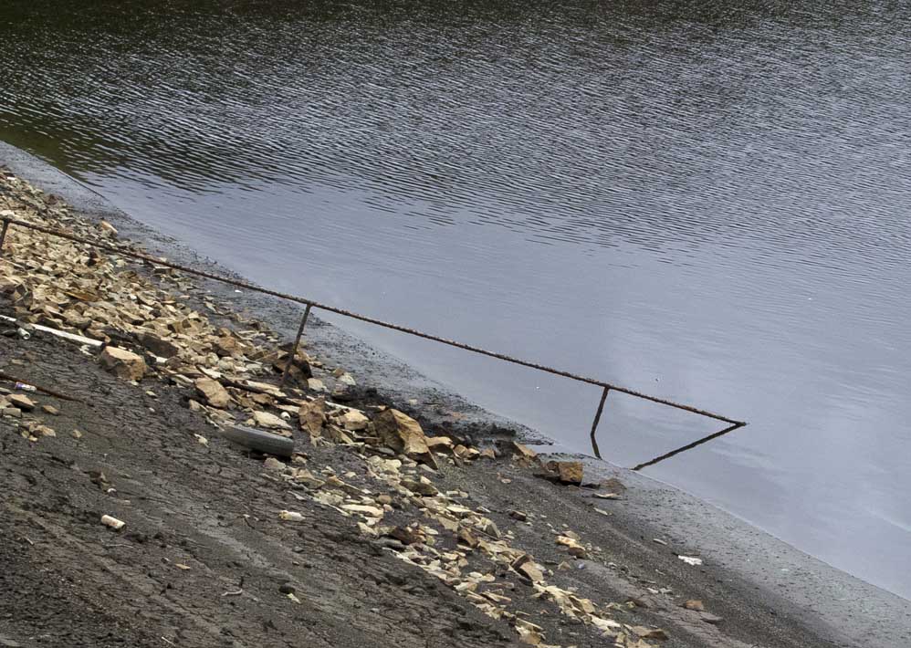 |
The old Victorian handrail going down to the depths
|
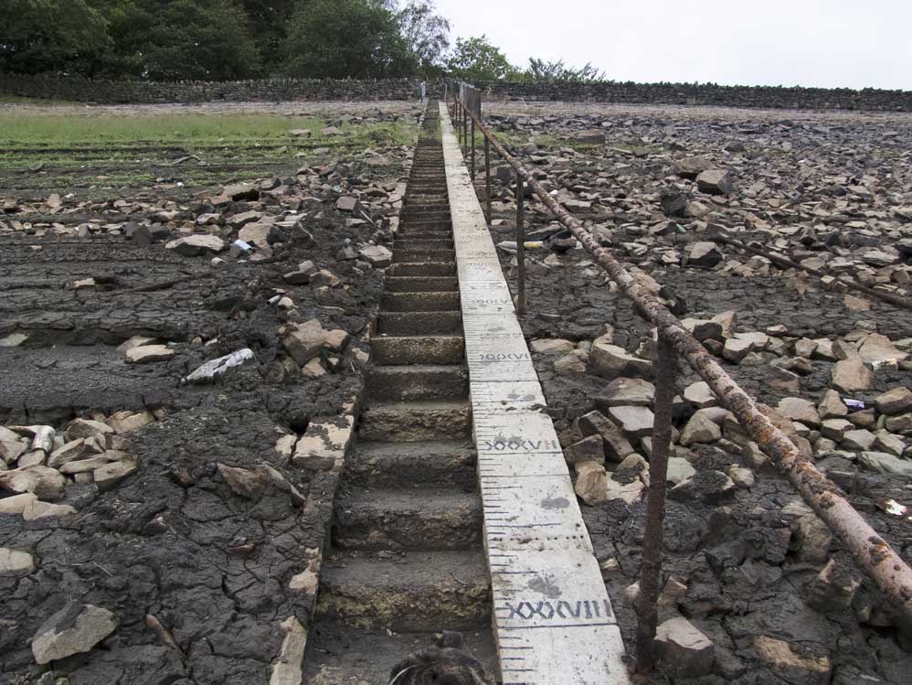 |
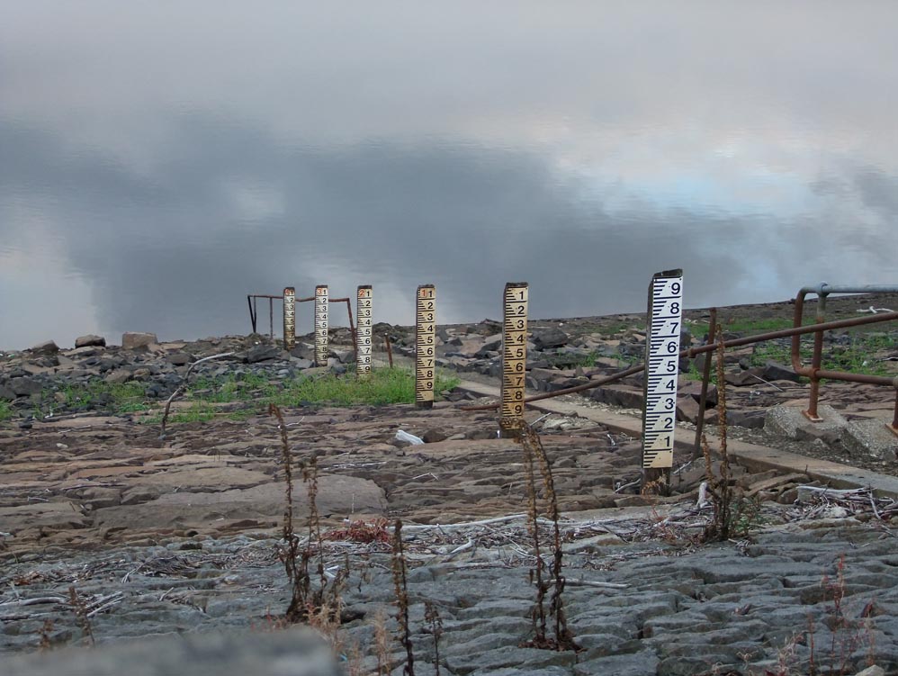
The markers showing how low the water is - more than 38ft in this photo
|
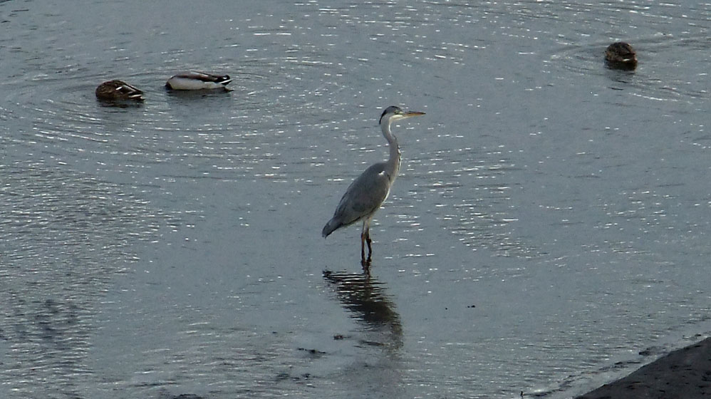 |
A heron makes good use of the low water levels as it fishes near Alance in what is now technically the River Yarrow |