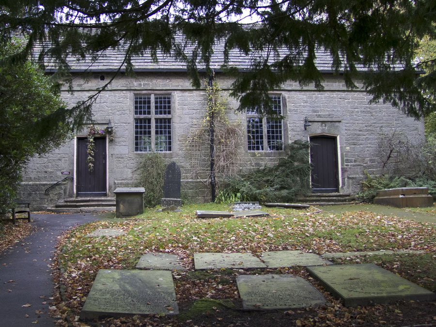
Rivington Unitarian Church. Click here for more information.
Rivington Village Green - October 2012 and below as it was in 2002
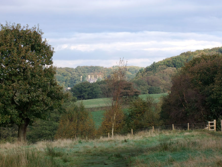
After going through the kissing gate opposite the Village Green - this view is to the house called The Street.
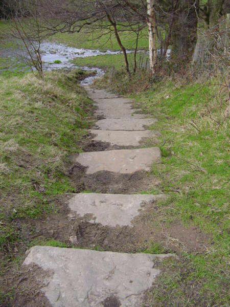
Left - the steps as they were in 2002
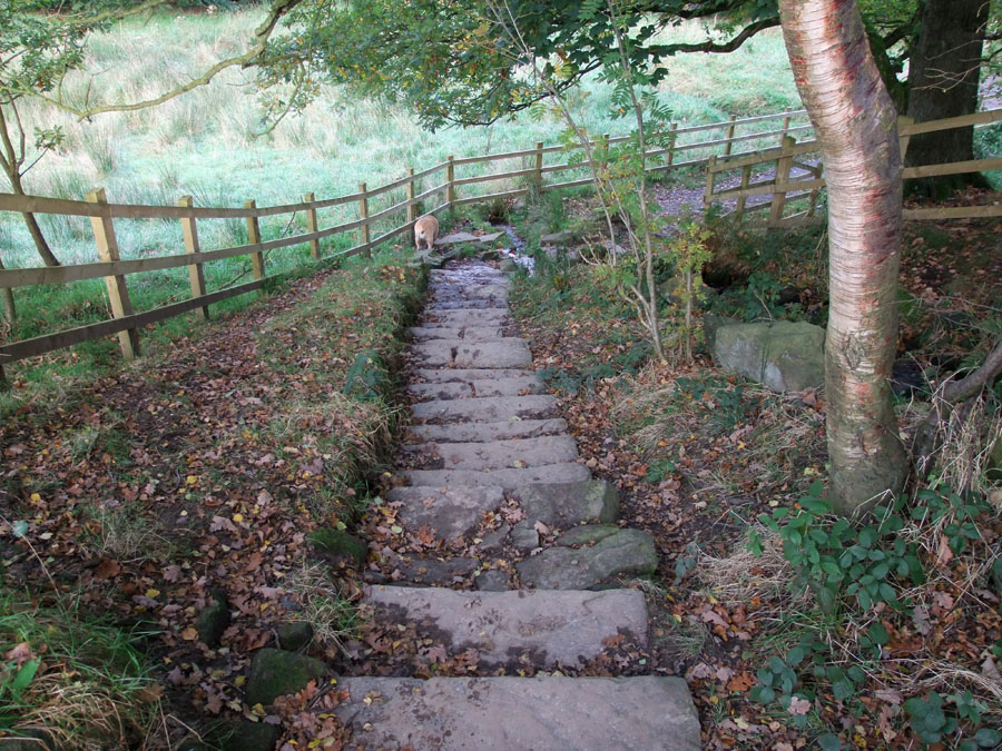
Below in October 2012, a recent wooden fence has been erected and the steps improved. At the foot of the steps a channel has been made and crossing the small stream in now much easier as it used to get muddy in wet weather
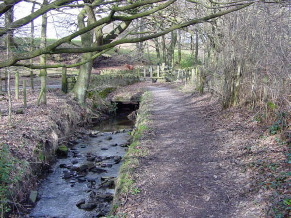
The stream and path near Dean Wood in 2002.
The stile at the end has been replaced with a kissing gate
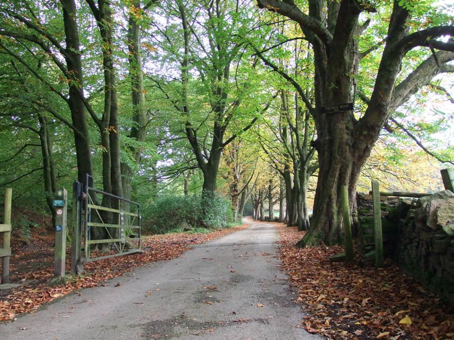
This is the view as you turn right. Although it says "Private Road" it is a public footpath.
........October 2012
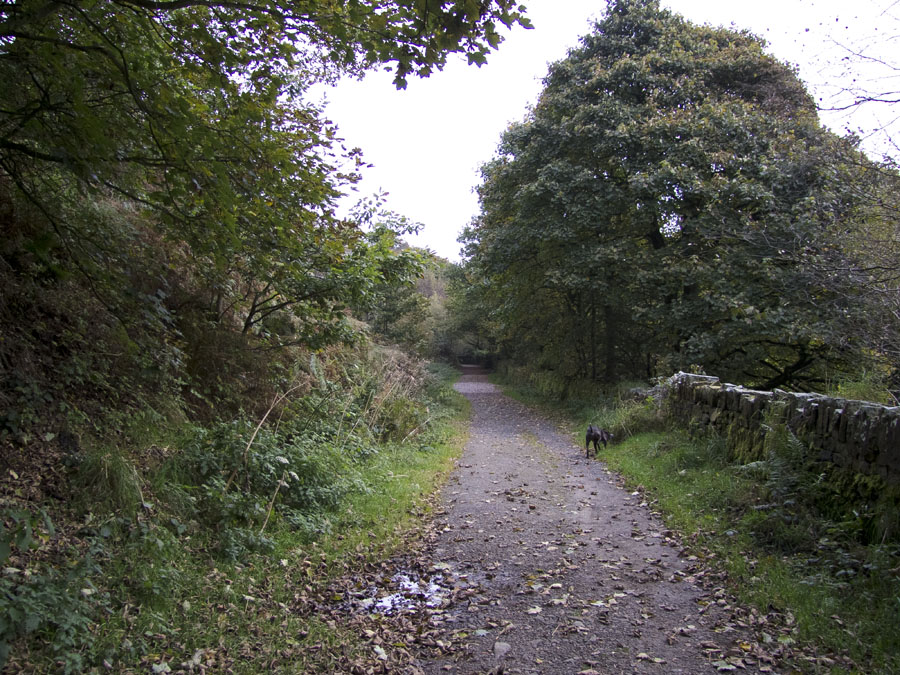
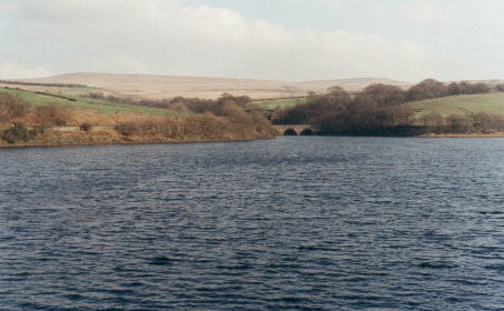
After crossing Alance bridge and turning right at the gate - this is the track leading to Lead Mine Valley (Clough)
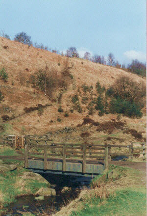
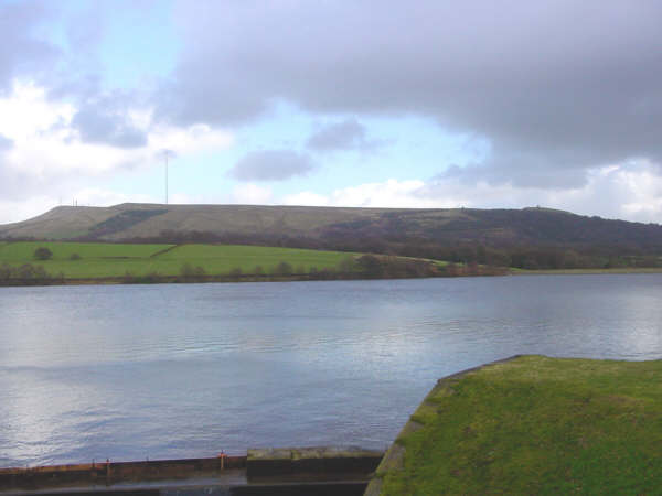
Lead Mine Valley in 2002.
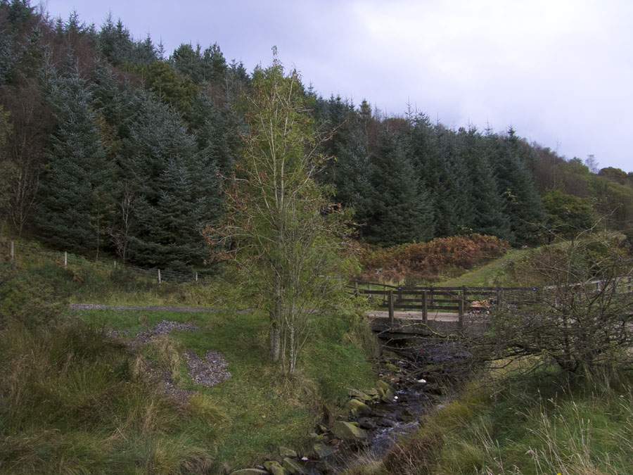
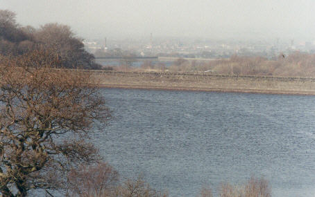
Apart from the bridge the place in not recognisable now. Trees, mostly pine, cover the hillside. See picture below taken October 2012
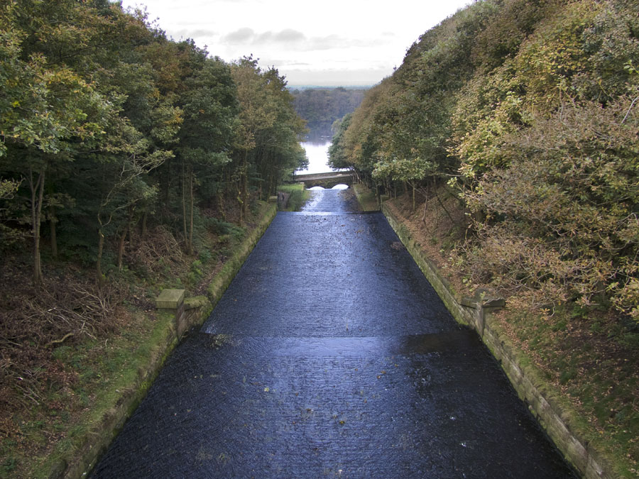
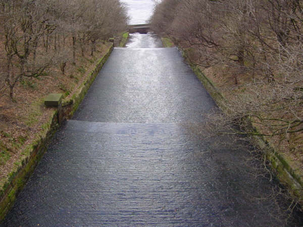
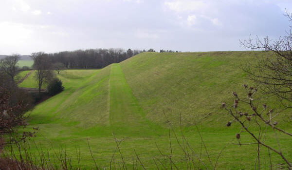
The view eastwards from the overflow bridge which has a datestone of 1871
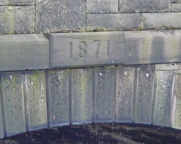
The date stone - which is on the reservoir side of the bridge
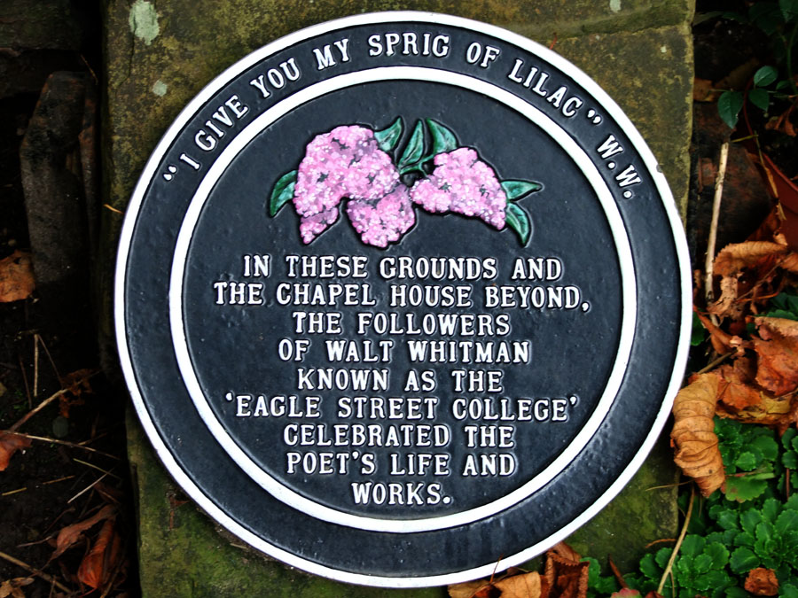
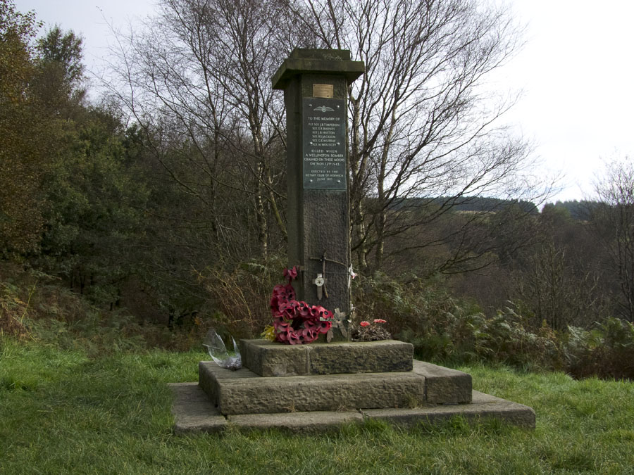
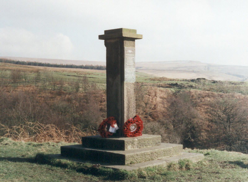
On the way back to Hall Barn , it is worth stopping to have a look round the grounds of the Unitarian church. This plaque is in the grounds