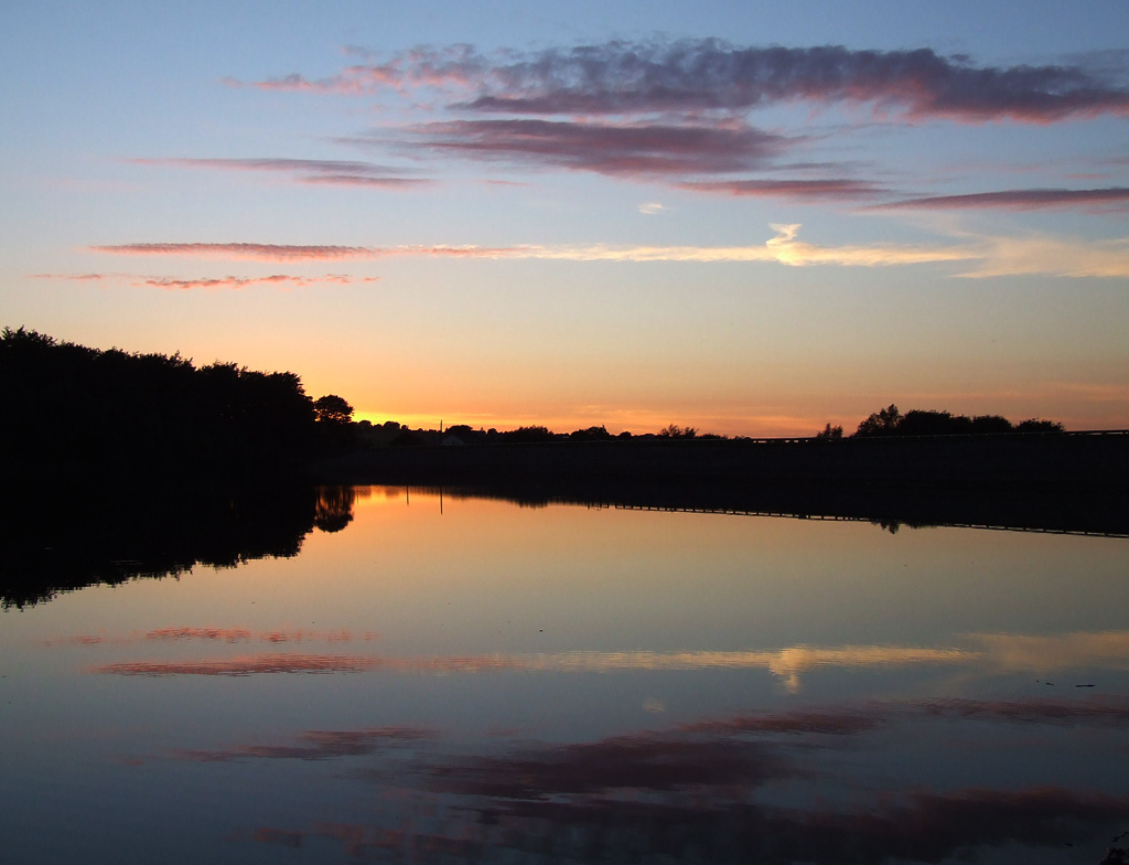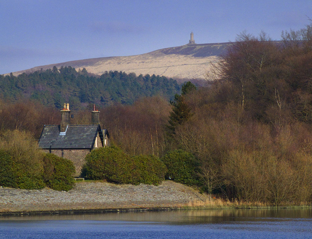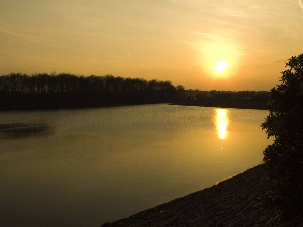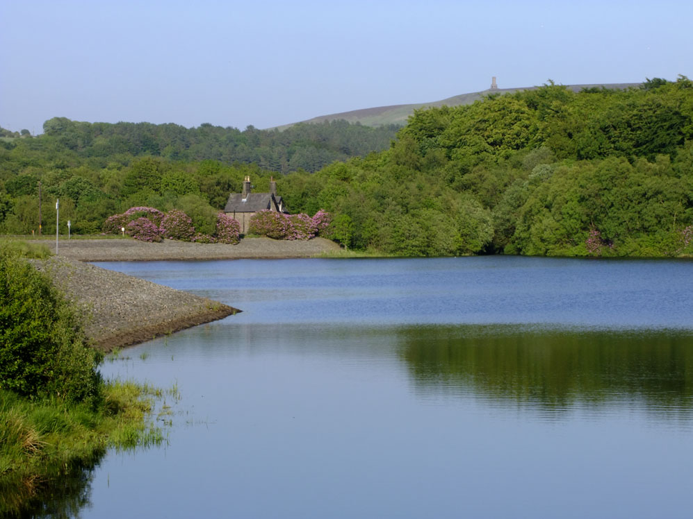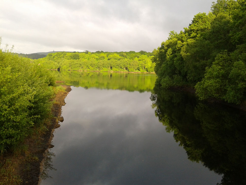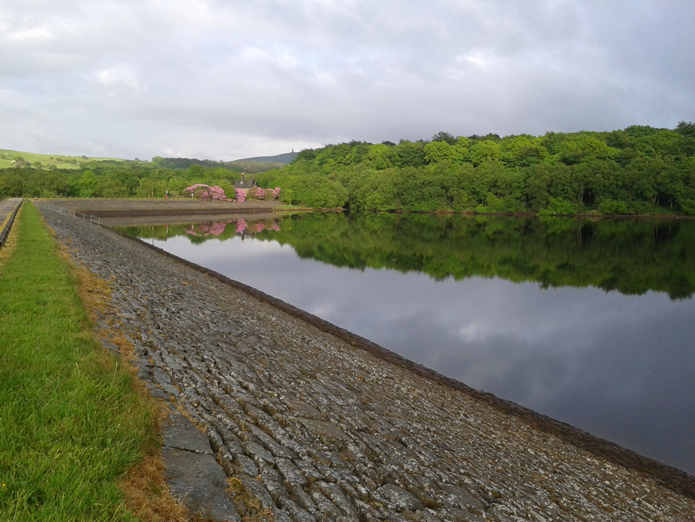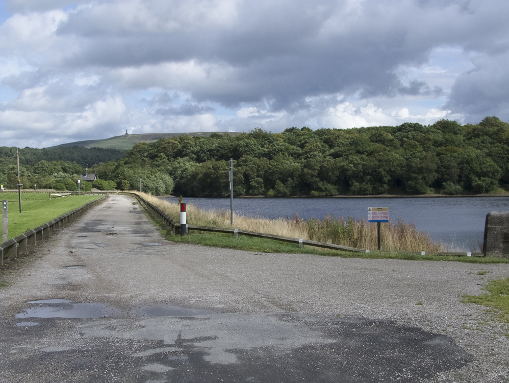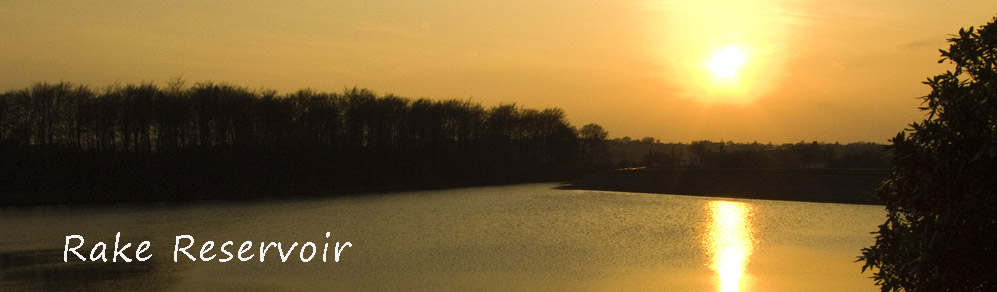
Rake, along with its near neighbours Upper & Lower Roddlesworth were being constructed at the same time as the Rivington and Anglezarke reservoirs ie around 1857. They are connected to the latter by a canal called the Goit (sometimes spelled Goyt).
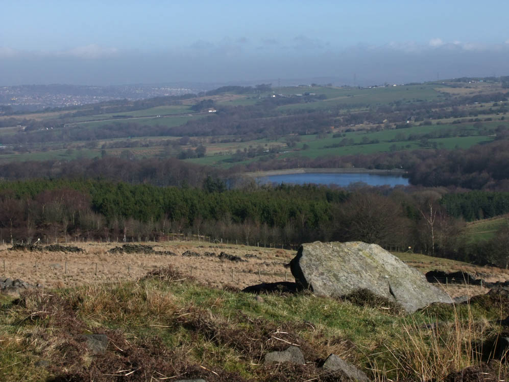
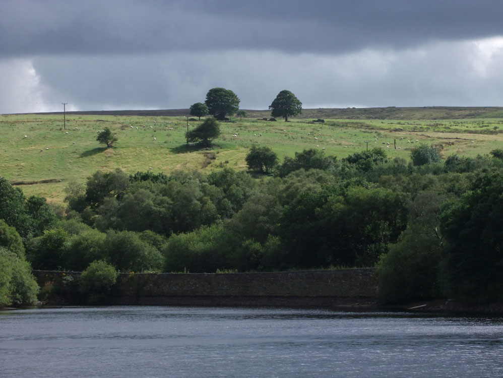
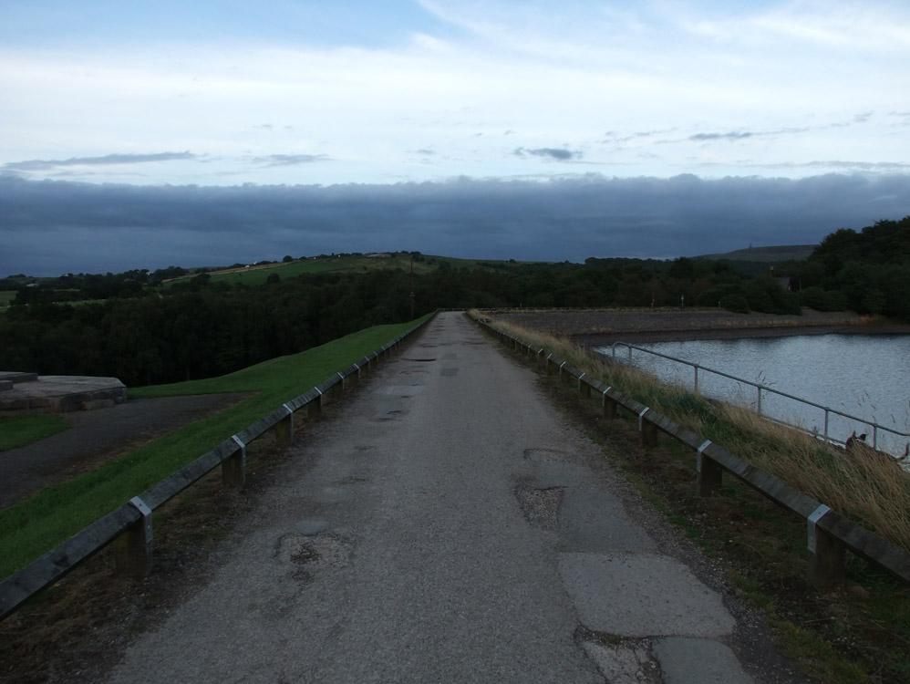
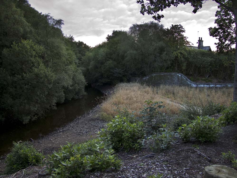
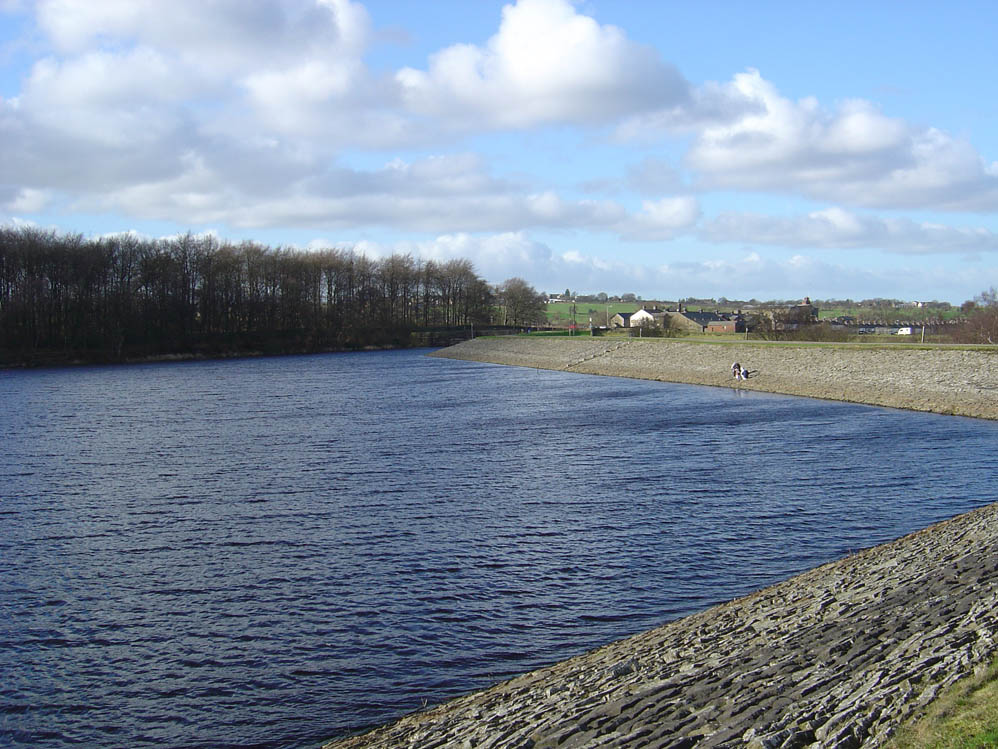
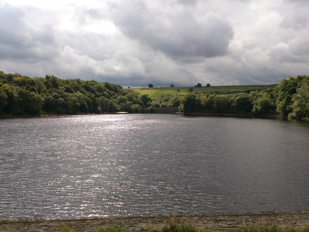
Rake has a surface area of 13.8 acres and a perimeter of 0.8 miles. It can harness 79.9 million gallons. Its embankments total 500 yards and it is approximately 84 feet deep, indeed it is the second deepest after Yarrow. Its primary inflow is Rake Brook, but there is another stream that feeds it which starts near Old Man's Hill. It is also quite unusual in that it shares an overflow, a very large overflow with Lower Roddlesworth. These two reservoirs are connected by a canal that goes behind The Waterman's House. From this canal if the water level gets to high the overflow takes away water from both reservoirs. Photo's of the overflow are in the Roddlesworth page. It outflow is the Goit which takes water to Anglezarke Reservoir 3.6 miles away.