21/8/2002
FAIRFIELD - a grand mountain with grand satellites in support
A. Wainwright |

| Fairfield Horseshoe | ||||||
| Date | 21/8/2002 |
|
||||
| Walks done by: | Jed | |||||
| Weather: | Sunny spells - very warm | |||||
| Distance | 11.8 miles. | |||||
| Started at: | Ambleside - main car park | |||||
| Height:- | ||||||
| Low Pike | 1657' | Fairfield | 2863' | |||
| High Pike | 2155' | Great Rigg | 2513' | |||
| Dove Crag | 2603' | Heron Pike | 2003' | |||
| Hart Crag | 2698' | Nab Scar | 1450' | |||
|
||||||
|
||||||
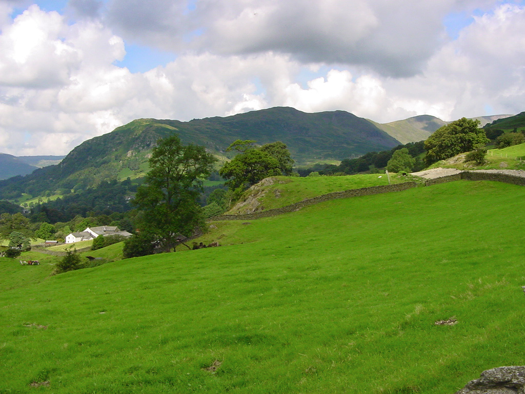
| Nab Scar and Heron Pike from Sweden Bridge Road | ||||||
|
||||||
| Half way up Sweden Bridge Road | ||||||
|
||||||
| The Langdale Pikes taken from the same place as the above photo | ||||||
|
||||||
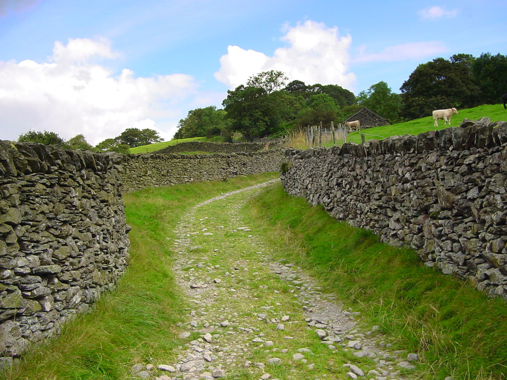
| High Sweden Bridge | ||||||
|
||||||
| Low Pike and High Pike | ||||||
|
||||||
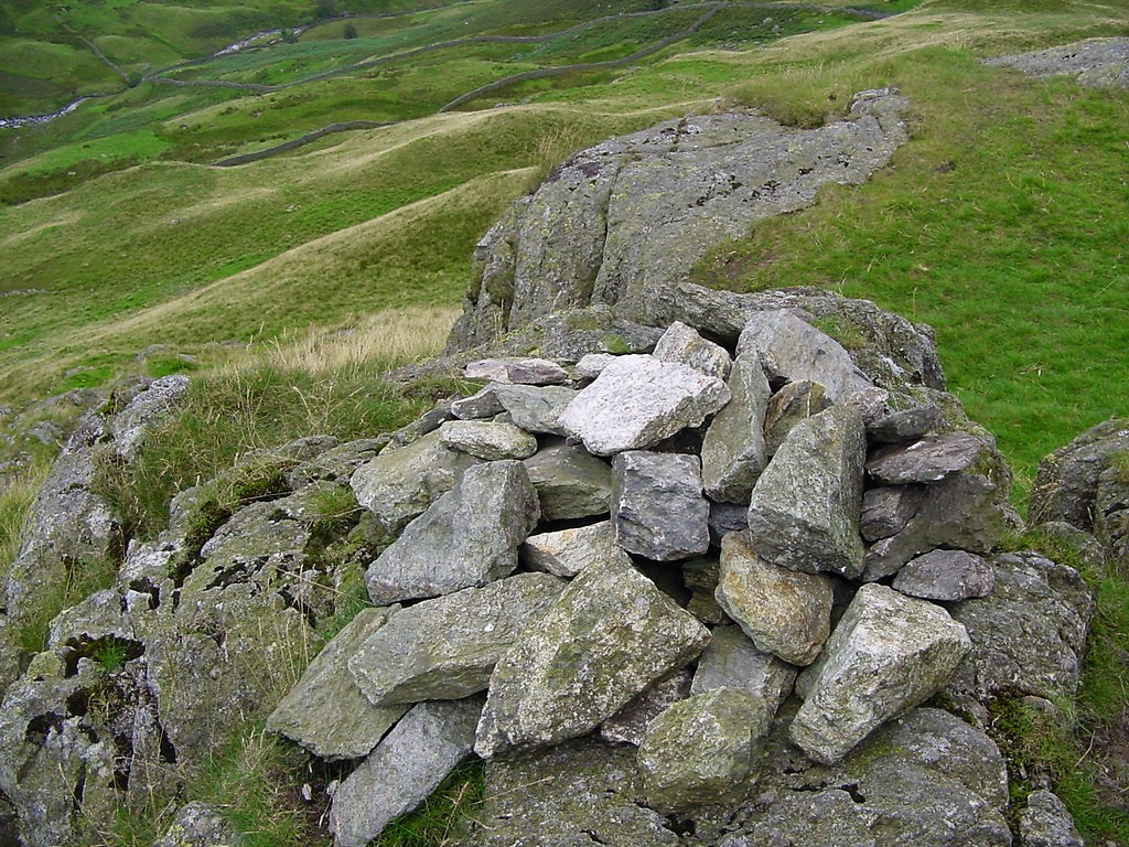
| Low Pike's puny summit cairn | ||||||
|
||||||
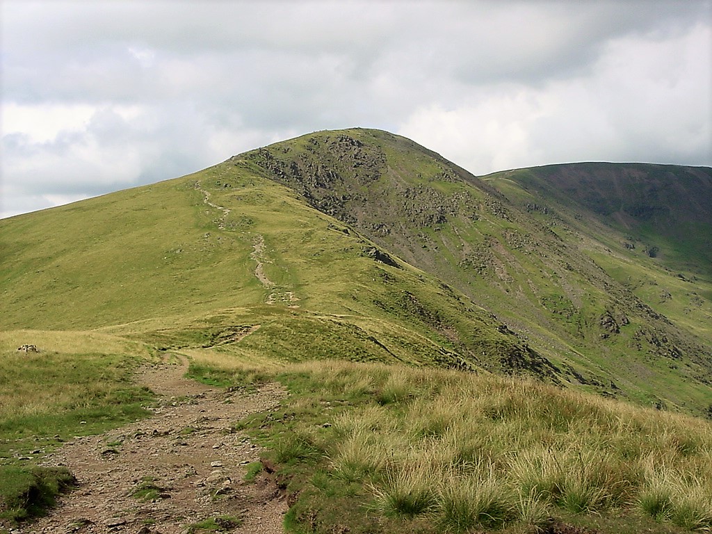
| High Pike from Low Pike | ||||||
|
||||||
| High Pike summit with ridge of Red Scree's in shade beyond | ||||||
|
||||||
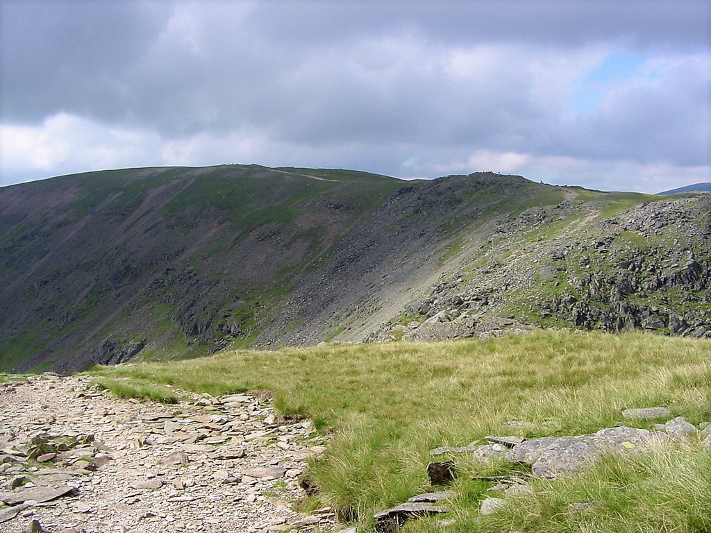
| Scandale Pass. | ||||||
|
||||||
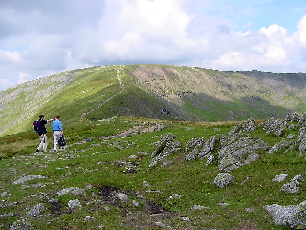
| Dove Crag summit | ||||||
|
||||||
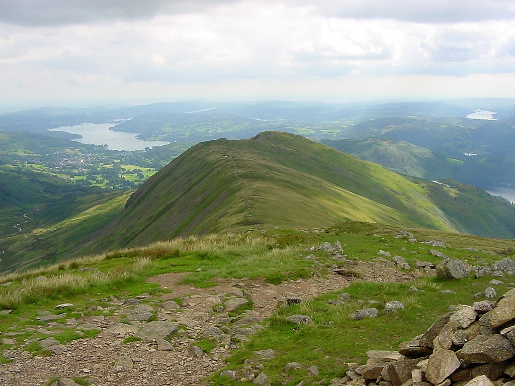
| Looking across to Fairfiled | ||||||
|
||||||
| Hart Crag with Fairfield in the distance | ||||||
|
||||||
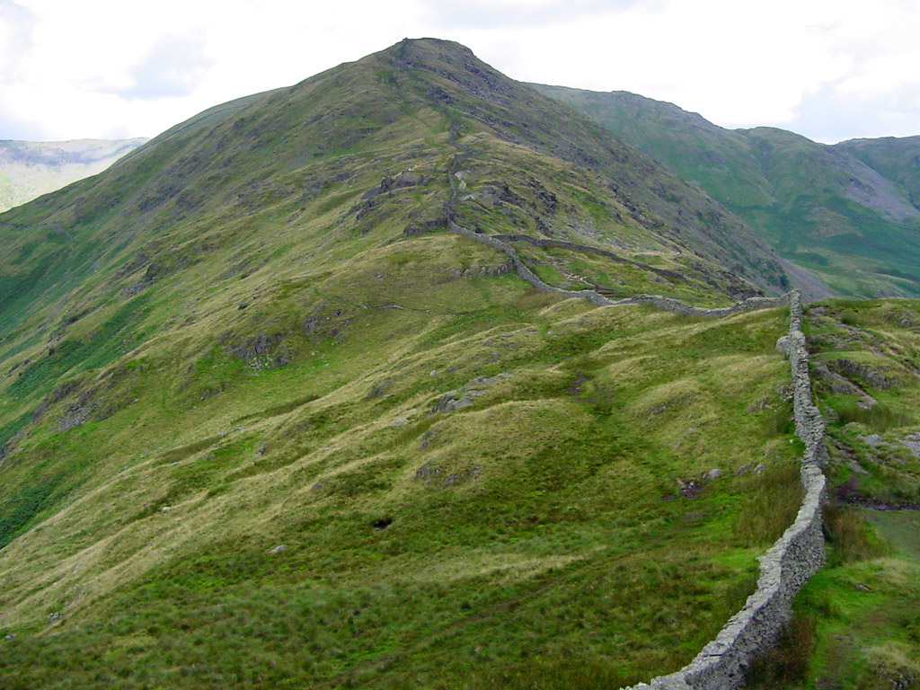
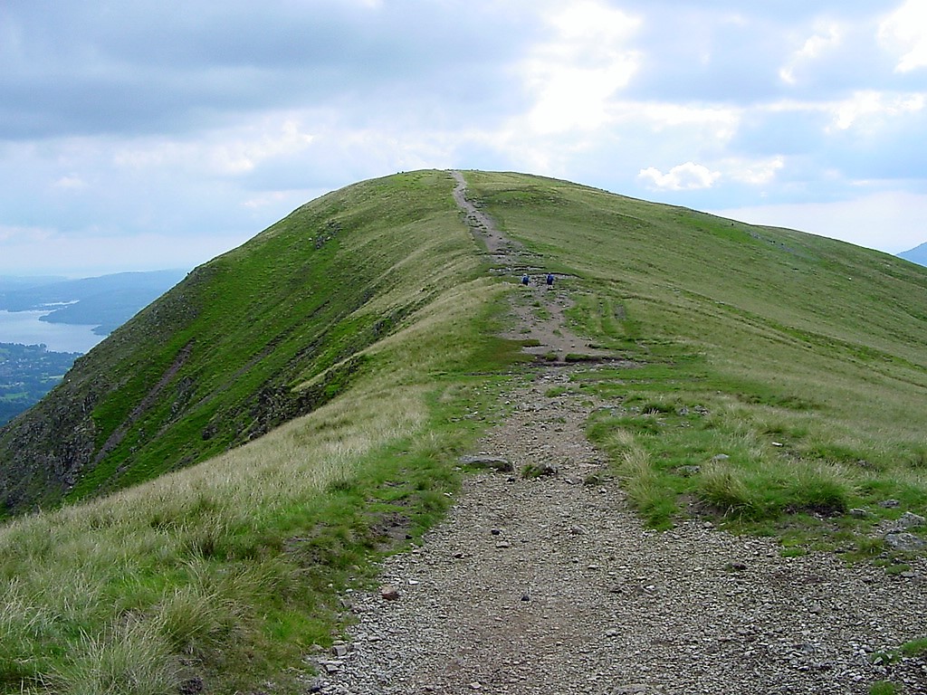
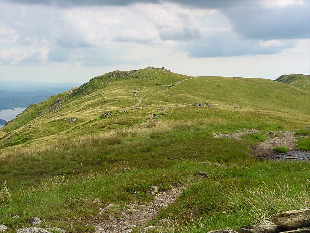
| Looking along the ridge to Fairfield's summit | ||||||
|
||||||
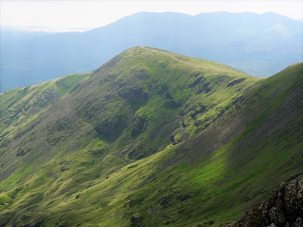
| Great Rigg from Hart Crag - Coniston Old Man is in the distance | ||||||
|
||||||
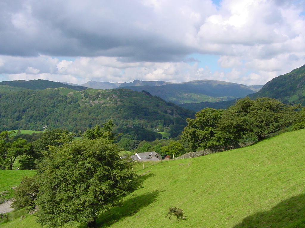
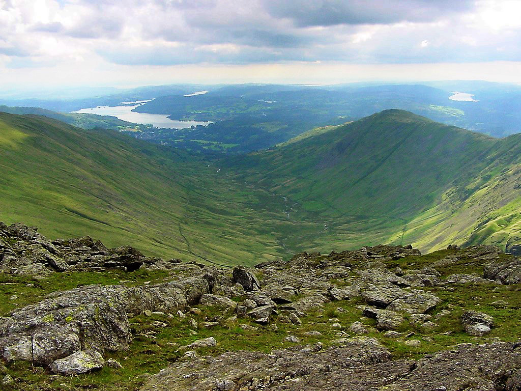
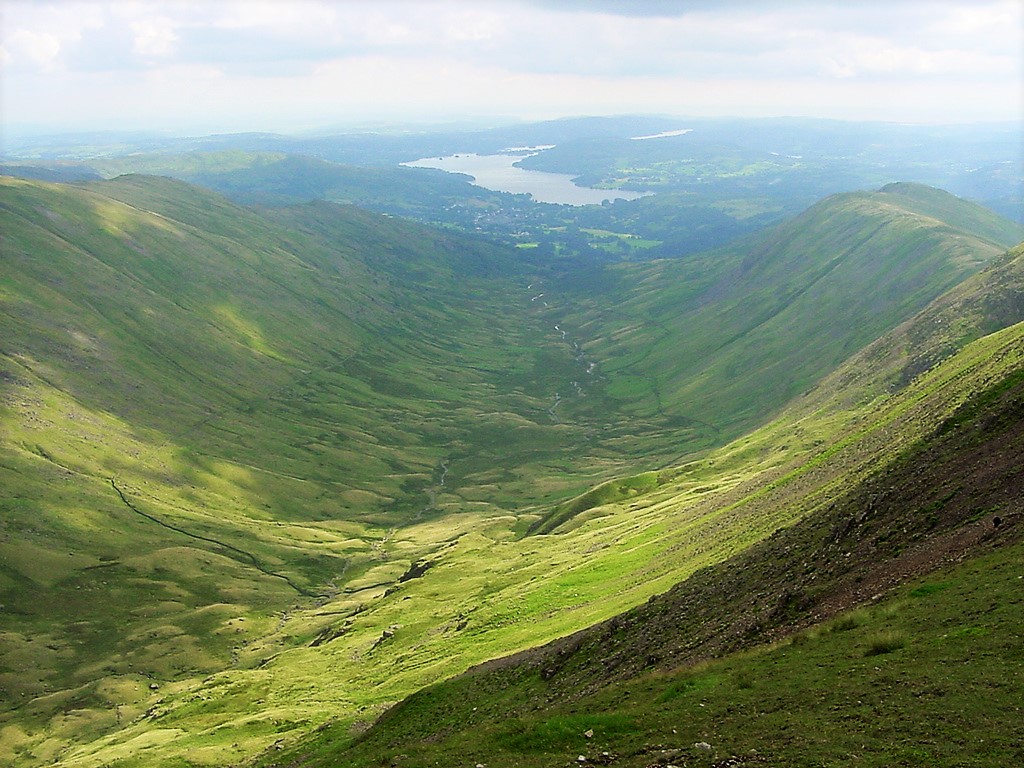
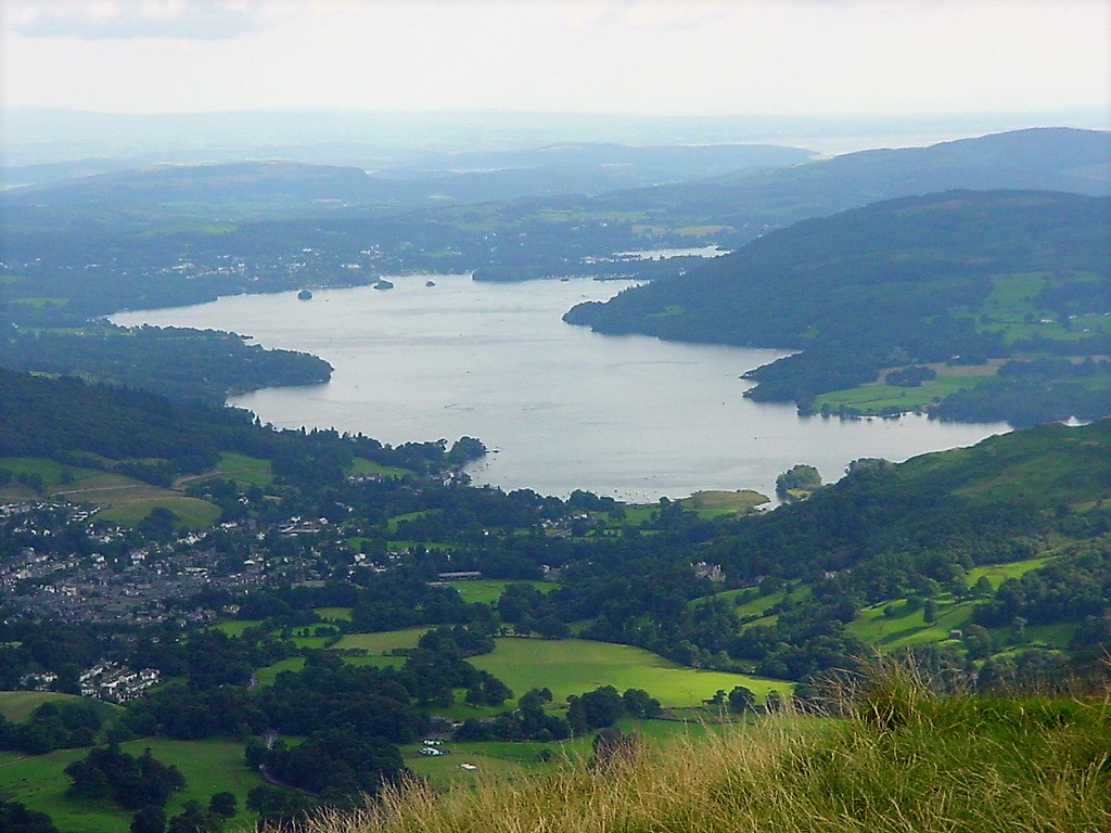
| Looking down Rydal valley to Ambleside and Lake Windermere | ||||||
|
||||||
| Looking back to the ridge of ascent | ||||||
|
||||||
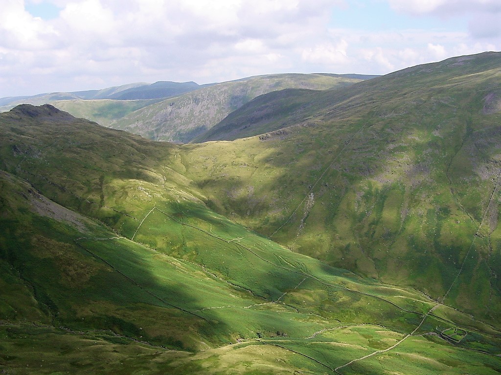
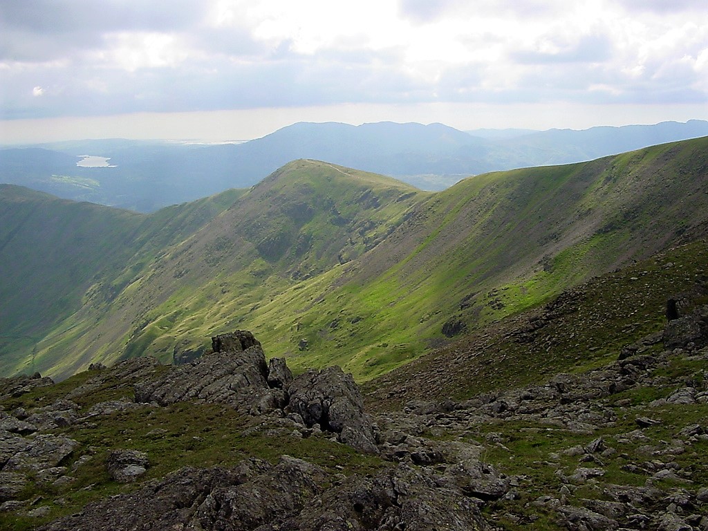
| Looking over towards Place Fell and the eastern fells | ||||||
|
||||||
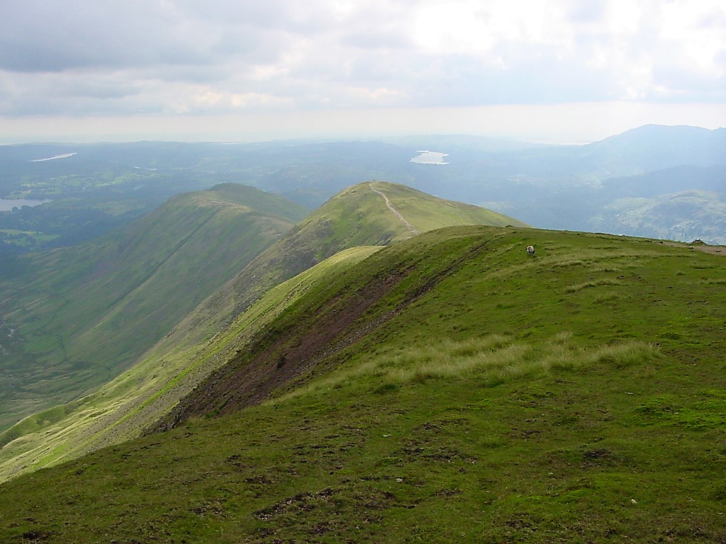
| Great Rigg from the ascent of Fairfield | ||||||
|
||||||
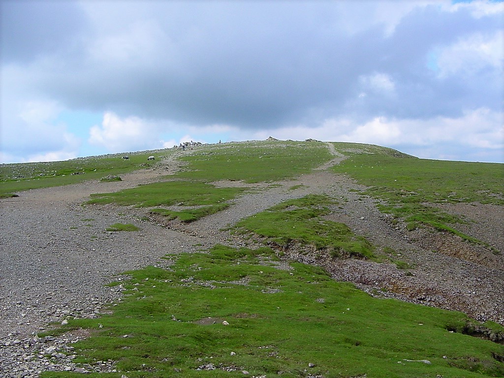
| Approaching Fairfield summit | ||||||
|
||||||
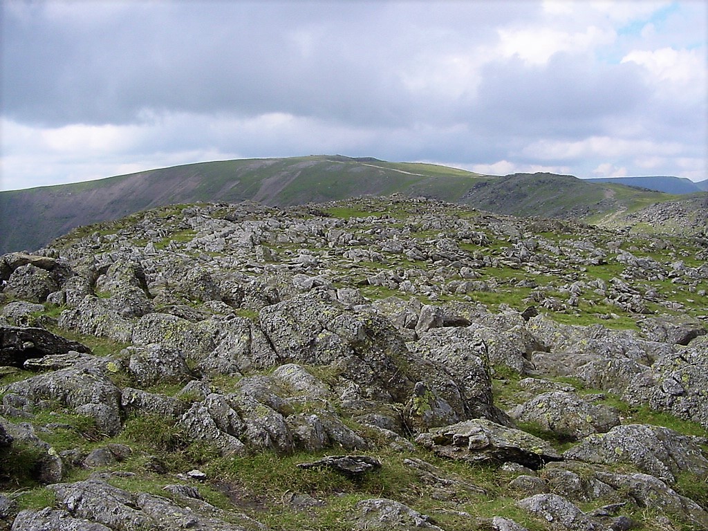
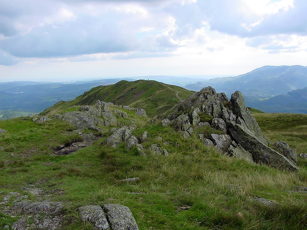
| Black Tippet | ||||||
|
||||||
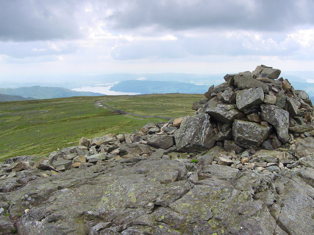
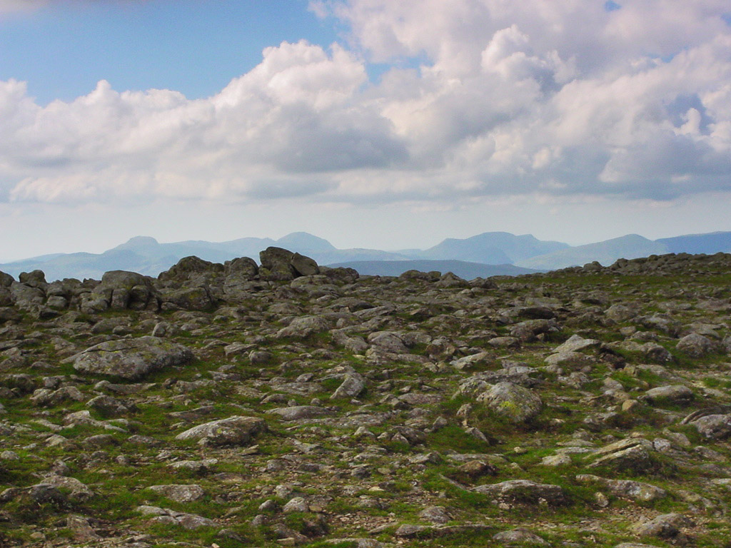
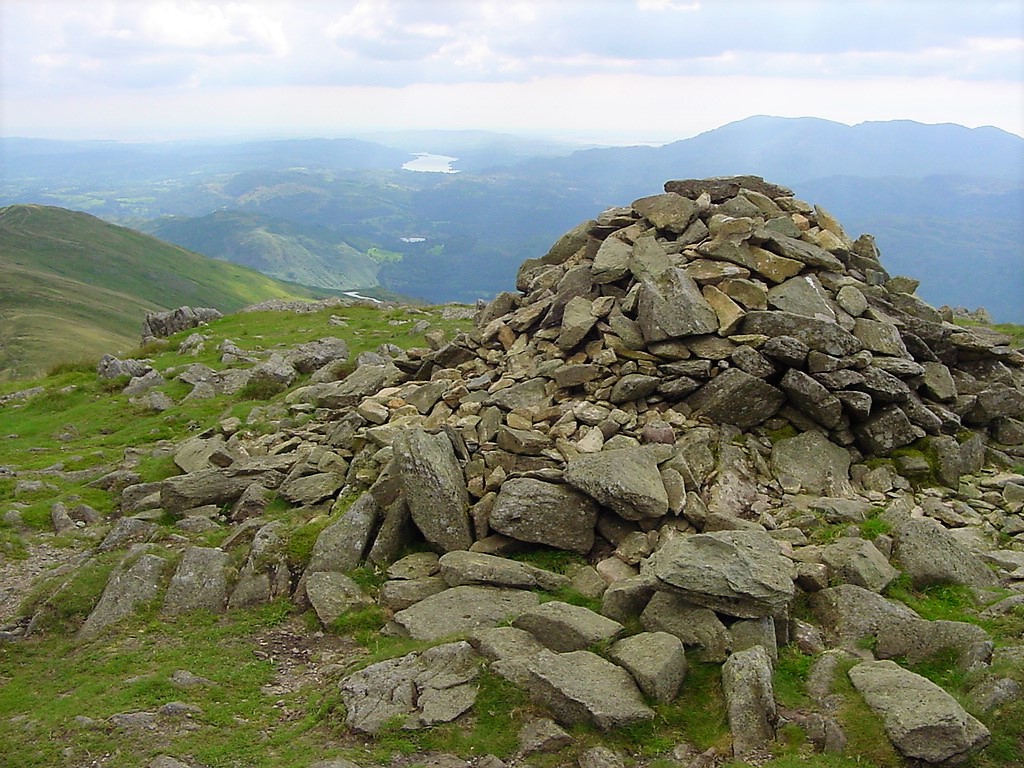
| Fairfield Summit | ||||||
|
||||||
| What a great skyline from Fairfield's summit | ||||||
|
||||||
| Looking down to Great Rigg. To give an idea of scale there's a person far left | ||||||
|
||||||
| Another view to Windermere | ||||||
|
||||||
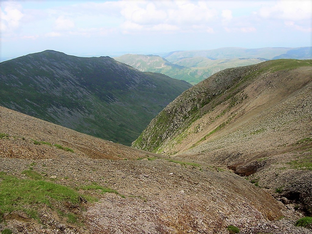
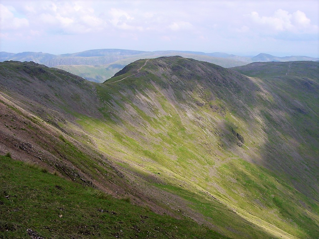
| Looking back to Hart Crag | ||||||
|
||||||
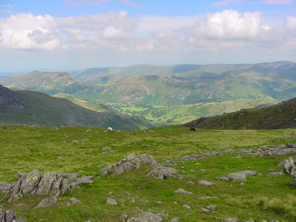
| The Fairfield to Nab Scar ridge | ||||||
|
||||||
| Approaching Great Rigg | ||||||
|
||||||
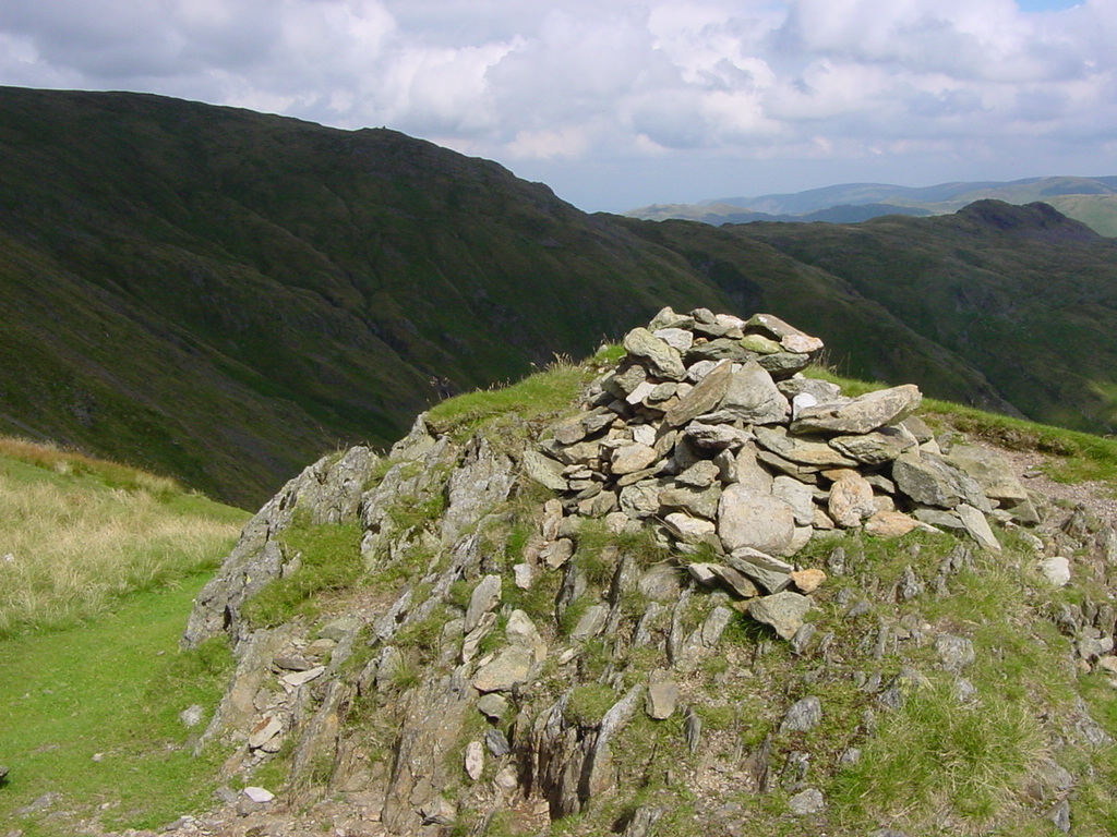
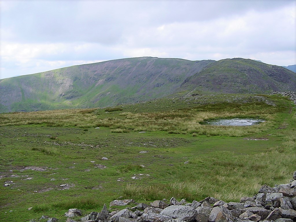
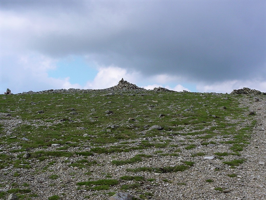
| Great Rigg summit | ||||||
|
||||||
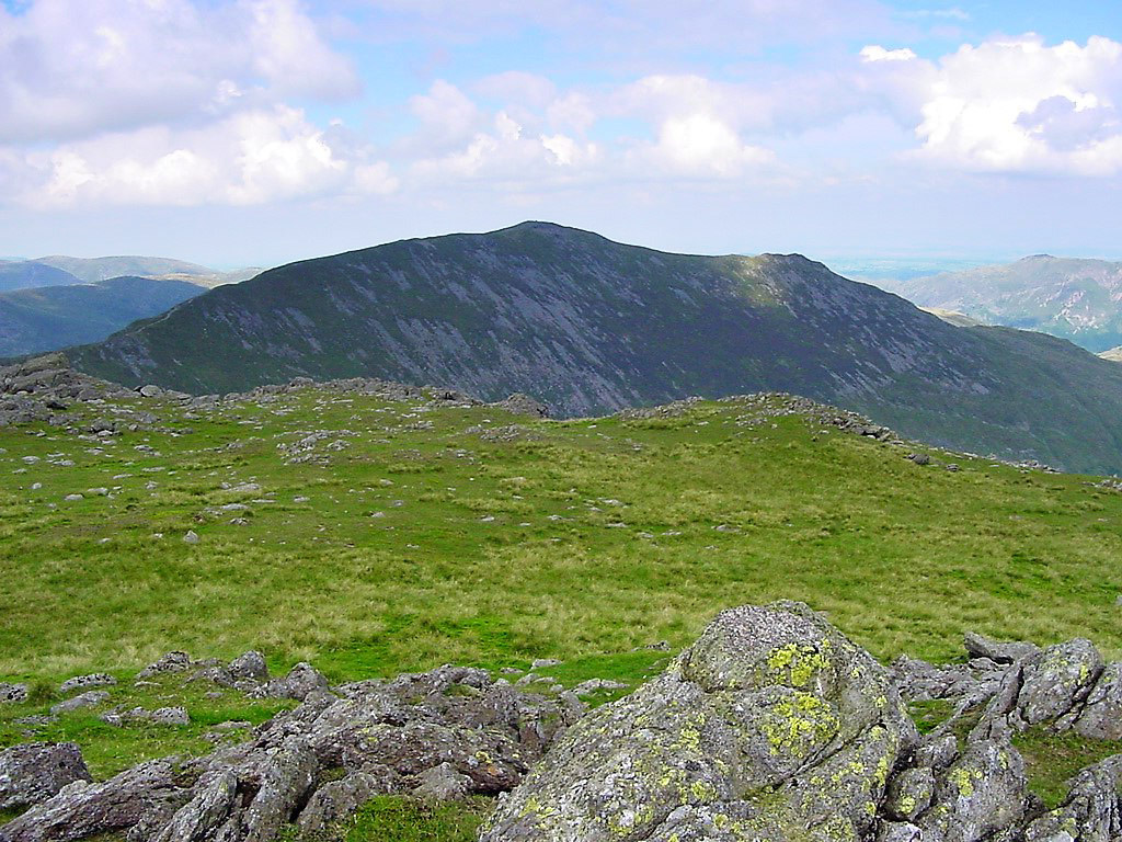
| Looking back to Fairfield | ||||||
|
||||||
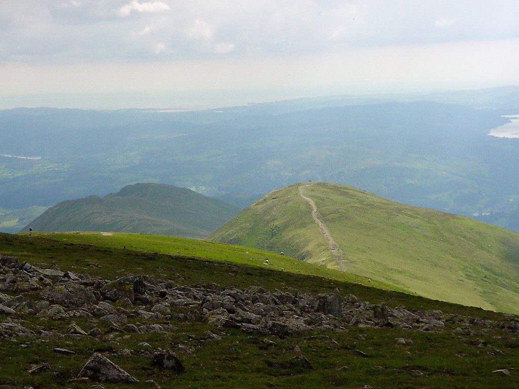
| Heron Pike from Great Rigg | ||||||
|
||||||
| Looking back to Great Rigg. Fairfield is to the right. | ||||||
|
||||||
|
||||||
| Heron Pike | ||||||
|
||||||
| Windermere from Nab Scar | ||||||
|
||||||
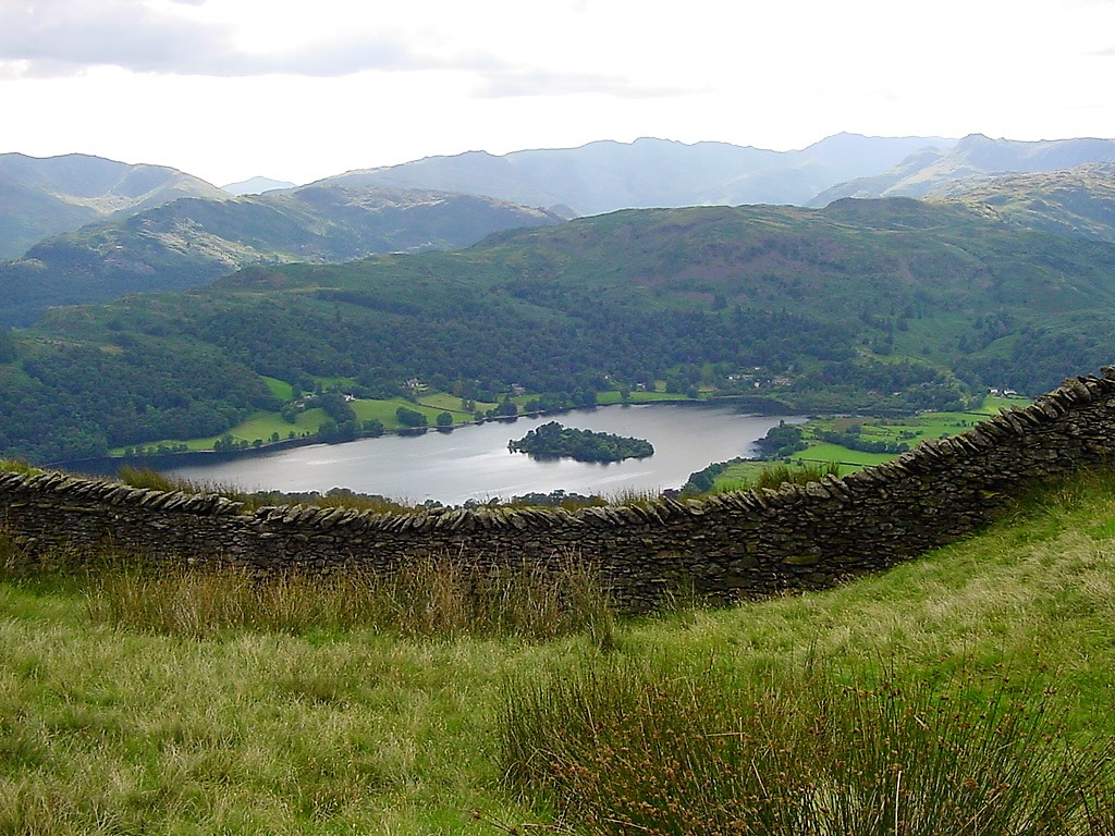
| Grasmere | ||||||