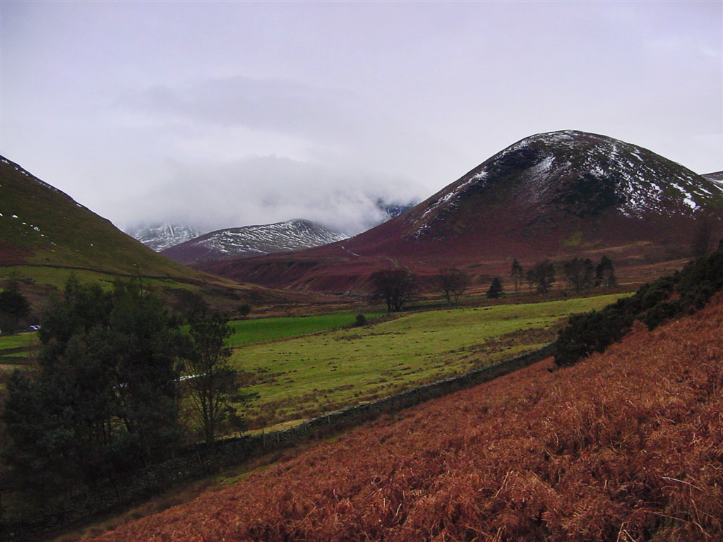
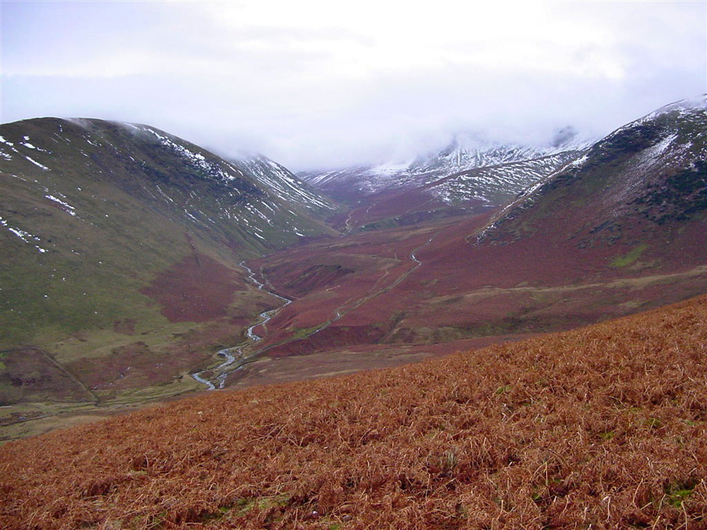
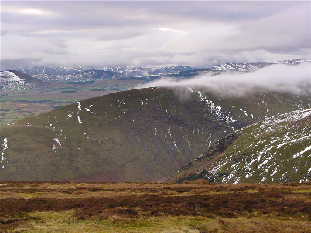
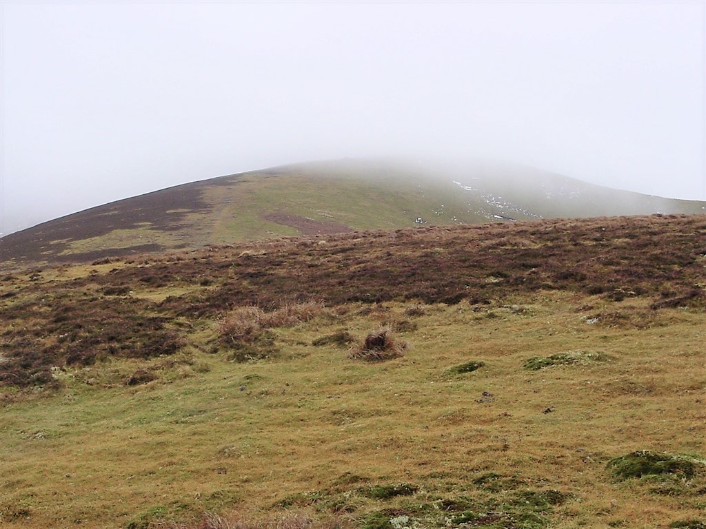
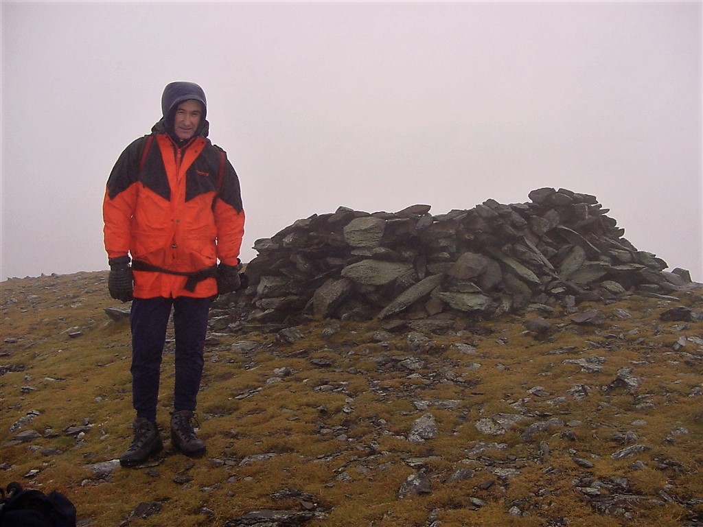
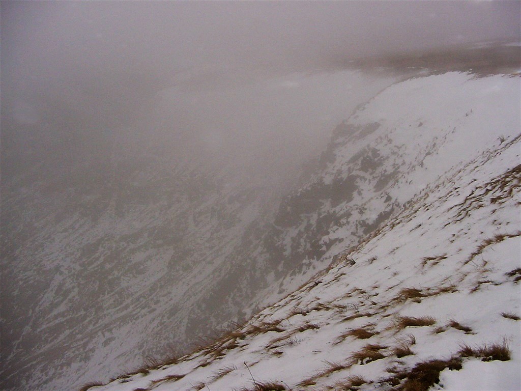
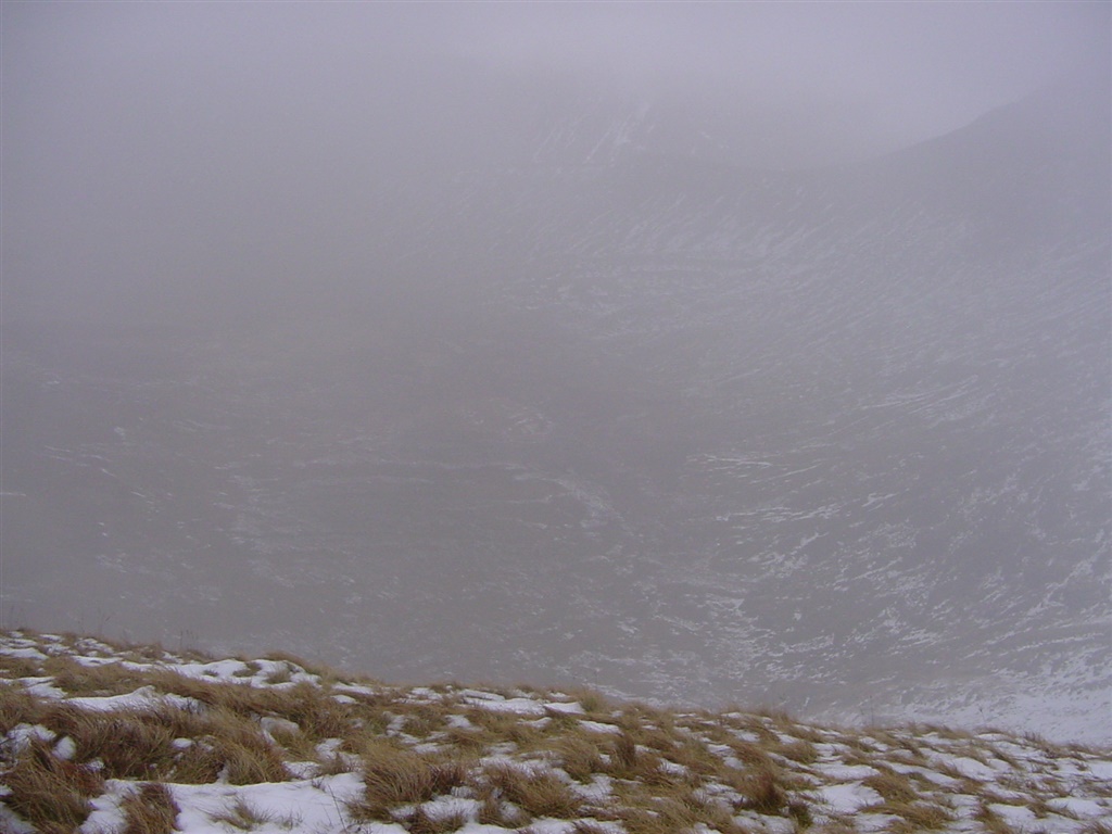
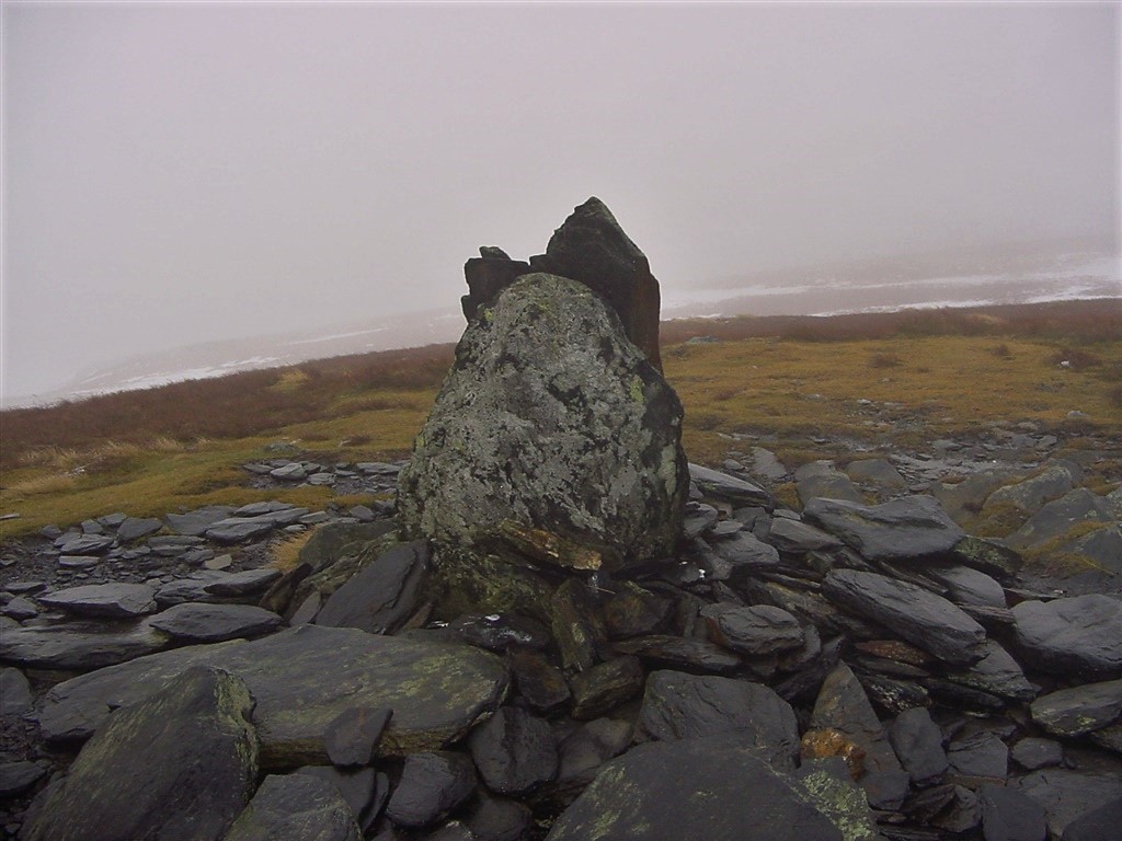
| Bowscale Fell & Bannerdale Crags | |||||
| Date | 3/1/2004 |
|
|||
| Walks done by: | Jed and Paul | ||||
| Weather: | Cold, drizzle at times, snow under foot, windy on the summits | ||||
| Distance | 6.5 miles. | ||||
| Started at: | Mungrisdale | ||||
| Height:- | |||||
| Bowscale Fell | 2303' | ||||
| Bannerdale Crags | 2241' | ||||
|
|||||
| At the start of the walk. Souther Fell in cloud and The Tongue clearly visible to the right | |||||
![]() |
|||||
| The view from above Raven Crags looking down to the River Glenderamackin | |||||
![]() |
|||||
| Foxhounds on the lower slopes of Bowscale Fell | |||||
![]() |
|||||
| The foxhounds give Paul a wide berth | |||||
![]() |
|||||
| Another view of Souther Fell from the slopes of Bowscale Fell | |||||
![]() |
|||||
| Looking up to the higher slopes of Bowscale Fell | |||||
![]() |
|||||
| Bowscale Summit (2303') | |||||
![]() |
|||||
| Looking down Bannerdale Crags | |||||
![]() |
|||||
| Looking down to Bannerdale Beck | |||||
![]() |
|||||
| Paul on the climb to Bannerdale Crags | |||||
![]() |
|||||
| And me at the same spot | |||||
![]() |
|||||
| Cairns at Bannerdale Summit (2241') | |||||
![]() |
|||||
![]() |
|||||
| Looking across the valley to Brunt Knott - Sharp Edge in cloud | |||||
![]() |
|||||
| Looking back along the descent path | |||||
![]() |
|||||
| Bannerdale Crags | |||||
![]() |
|||||
| Another view of Bannerdale Crags | |||||
![]() |
|||||
| Bannerdale Crags from the descent Path | |||||
![]() |
|||||
| Back at the start, and a view of the immediate steep climb - but well worth it as it gave instant height gain | |||||