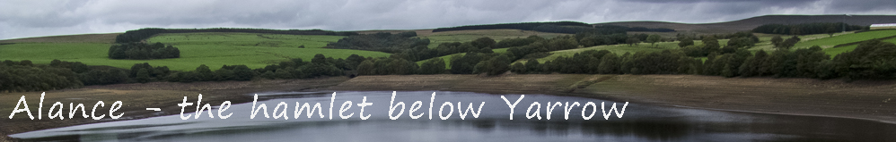
 |
Wending its way up the valley from Lister Mill, a track headed towards the original Alance Bridge, 150 yards downstream of the present Alance Bridge. By the side of which stood Alance Farm and hamlet. They were named after a family of that name who lived in Alance Farm. Hearth Tax records for 1663 show that Thomas Alance paid 2/- (two shillings or 10p) for one hearth. Mary, a reader of this site contacted me earlier this year (2013) asking if I knew anything about Alance. She provided me with some great information. When I saw the water levels drop this summer it triggered my memory and off I went in search of Alance, and I am happy to say I found it. It was set on a slight incline at the bottom of a slope. The farm had three neighbouring farms, namely Anderton's a quarter of a mile to the south on top of the slope, and Turners, a half mile away to the south and lower than Alance. The third was Parson's Bullough, across the bridge on the slope up to Peewit Hall. Needless to say that when the reservoir was built, it was the two higher farms, Anderton's and Parson's Bullough that survived and were not flooded. However, their tenure would not be long, and they would shortly be in ruins. Mary has documentary evidence that the family did indeed move from Alance Farm, for the 1871 census states they were living at Morris House Farm in Heath Charnock (now just a barn). Mary also has documentation from United Utilities’ predecessor listing the names of those compensated for loss of land or houses as a result or the building of the reservoirs. However, a family heirloom has been passed down the generation and she has kindly given me permission to publish the photograph of the barometer that was at Alance farm and has an engraving of the farmhouse upon its face - see photo's below. After checking my GPS grid reference against the northings and eastings from Lancashire County Council's excellent Mario map I knew I was in Alance. I stood there trying to imagine the view that Joseph Taylor saw in 1851. Joseph Taylor, who was the resident in 1851 would have looked out to see a small valley in front of him going down to Lister Mill, now Anglezarke reservoir and the hills of Anglezarke to his right. He would not have seen the large embankment, the overflow or the huge Turners Embankment. I explored the site, and found stones and a few bricks. Because of its location, I am sure that these bricks were from the original building for there is no access, and never has been, to its location which is some way from the present road, Moving on I crossed the Dean Brook Tunnel inlet, which has made a deep ravine in the reservoir embankment, not usually seen though as it is normally under water. I also found a window sill and other stoneworks which, from its location could be from either the buildings in Alance, or Anderton's Farm. As I walked round the waterline, 50 ft below the embankments, I realised that I was near the grid ref for Turners, but it was still below water, and not sure how far down. I wondered if it may yet be revealed. |
|
 |
|
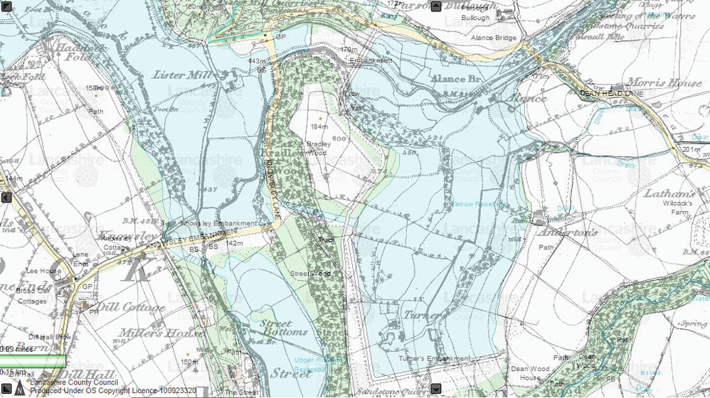
Modern day map with the old 1;10000 map superimposed on it, showing the location of the hamlet of Alance and its four farms
|
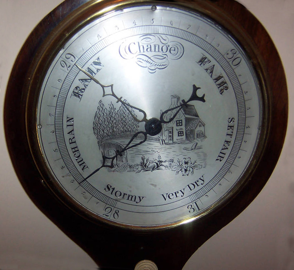 |
Thanks to Mary Sayer for this photo of the barometer of Alance Farm. Having studied it closely, the engraving depicts the original Alance Bridge by the side of the farm. So nice to know what the farm looked like! |
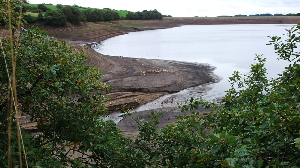 |
The stones and flats in the centre of the photograph are the remains of the farmstead of Alance. No sign of the original bridge which would have stood immediately in front of the farmhouse - taken 5th Oct 2013
|
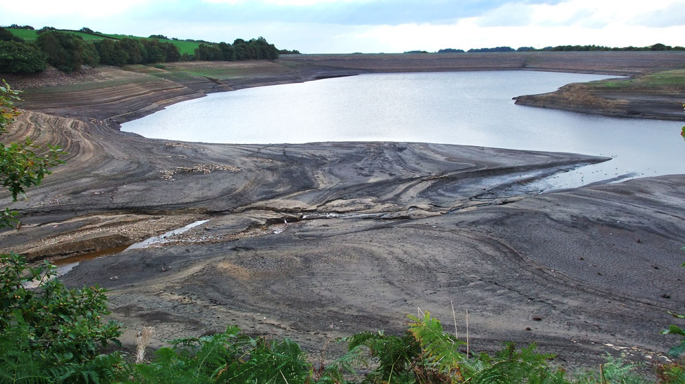 |
Photo taken 14th Oct 2013 - water levels still reducing
|
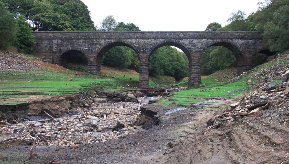 |
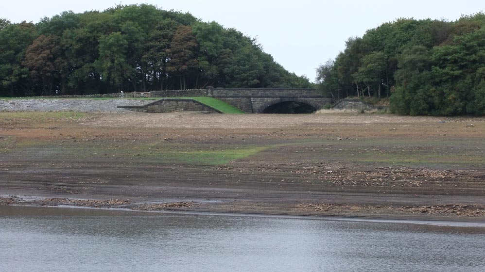
The "new" Alance Bridge built and named by the Water Company after the nearby farm.
|
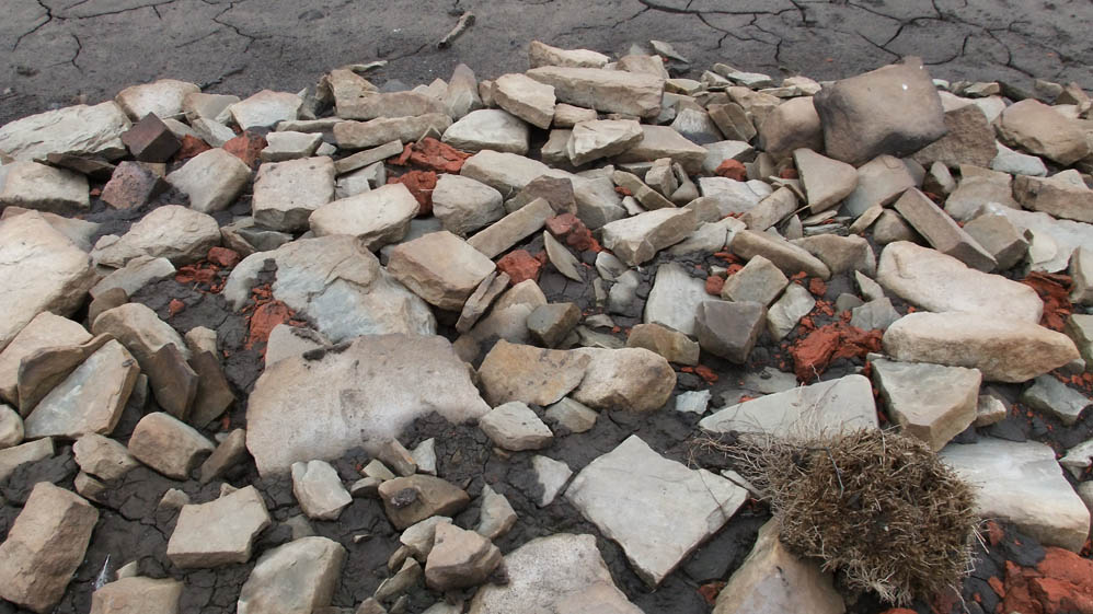 |
Rubble and bricks that was Alance
|
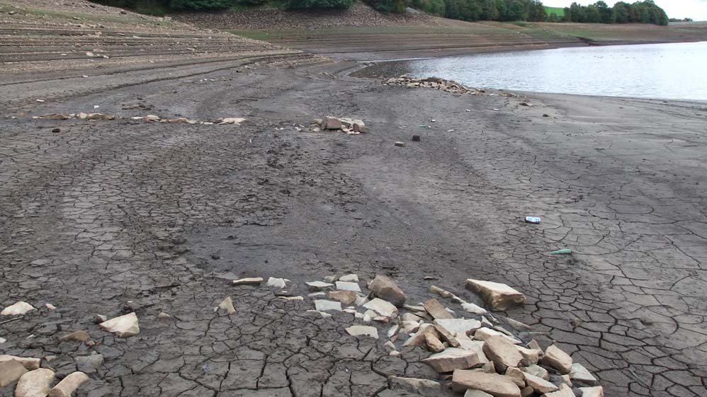 |
Taken from the centre of Alance
|
 |
This is the current day view from Alance, in 1851, it would have been a grassy slope, no bridge or overflow, and a valley peeling away to the right down to Lister Mill.
|
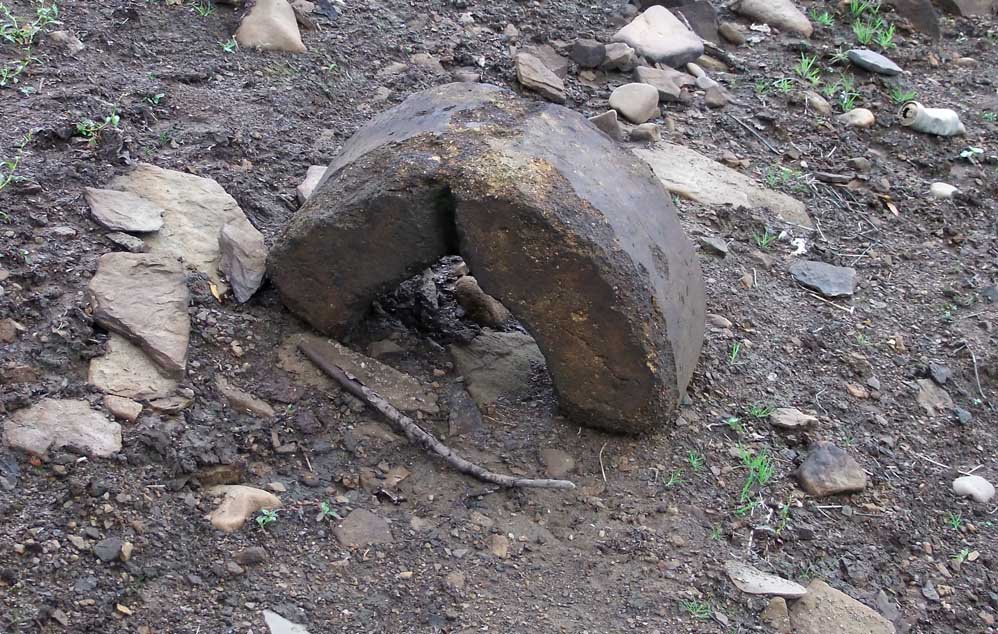 |
Not sure what this is
|
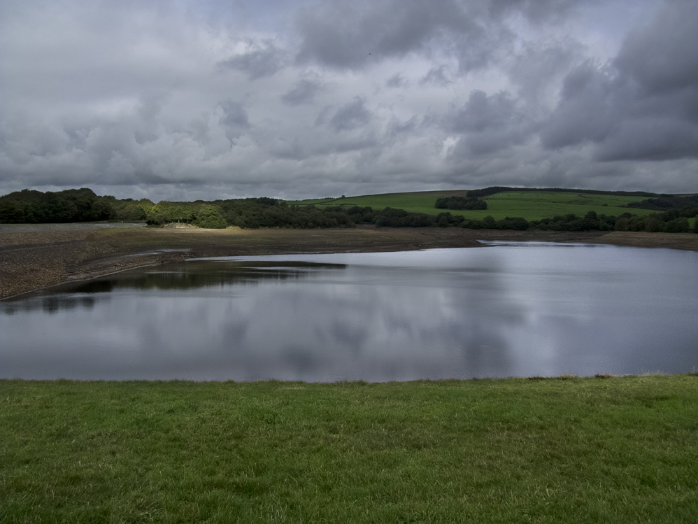 |
The Yarrow reservoir. No embankment to the left in 1851, it would have been another valley sloping down towards Heath Charnock
|
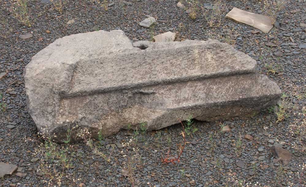 |
A lovely section of a window sill, probably from Anderton's, but may have been from Alance
|
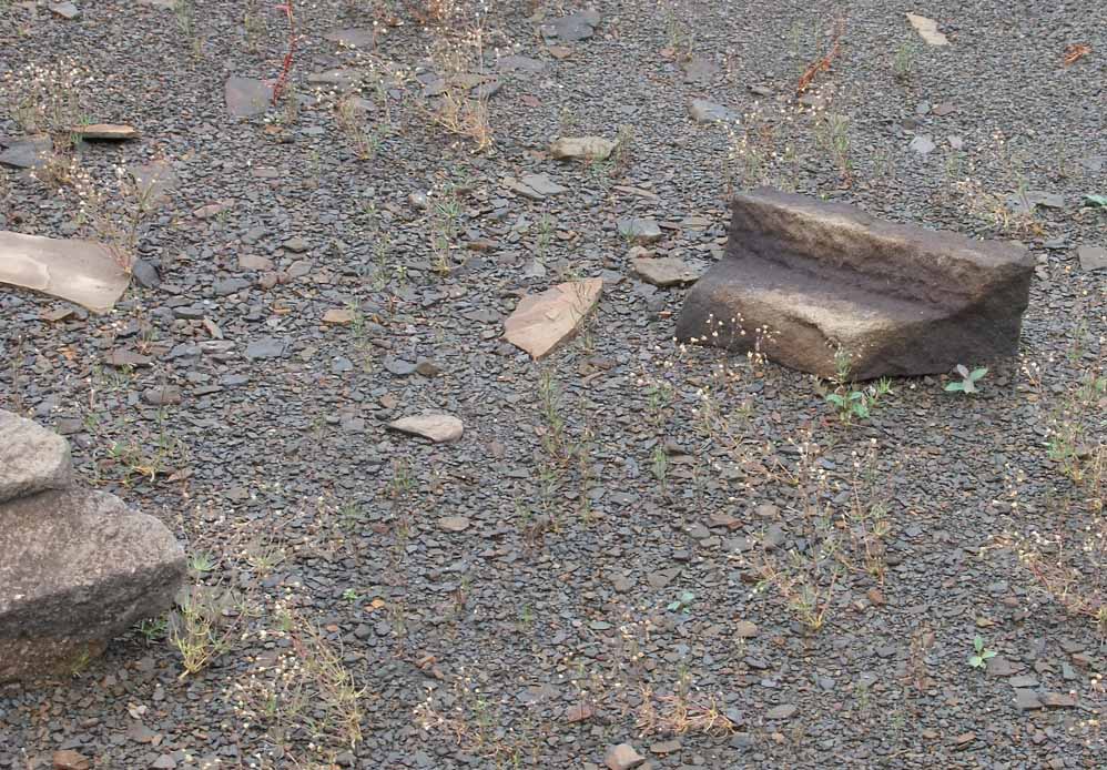 |
More building stone. These have possibly been under water since the flooding of the reservoir until this year
|
| In concluding, I wish to thank Mary, for without her enquiry, I would never have known of, or discovered this. It may be another 150 years before these are seen again. |